

You are here
Avalanche Advisory for 2018-01-12 06:32:14
- EXPIRED ON January 13, 2018 @ 6:32 amPublished on January 12, 2018 @ 6:32 am
- Issued by Nick Meyers - Shasta-Trinity National Forest
Bottom Line
LOW avalanche danger exists at all elevations. Isolated wind slabs may exist above 9000 ft on N-NE-E-SE-S aspects. Be aware of falling rime ice. Wear a helmet. Smooth, firm snow surfaces exist on some slopes. A long slide is possible without immediate self arrest. Know how to use your ice axe and crampons.


Avalanche Problem 1: Wind Slab
-
Character ?

-
Aspect/Elevation ?
-
Likelihood ?CertainVery LikelyLikelyPossible
 Unlikely
 -
Size ?HistoricVery LargeLargeSmall

The wind slab hazard today is low. Remember, LOW avalanche danger does not mean NO avalanche danger. Monitor changing conditions if ascending above 9000 ft. Look for cornice formation and shooting cracks in drifted snow as evidence of the wind slab problem. Look at connected terrain and consider the consequences of being carried down hill by a small avalanche. Ridgelines, rocky outcrops and near the tops of bowls will be the most likely places for wind loading to occur.
Forecast Discussion
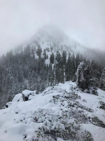
The wind slab problem is a fading concern and finding and triggering a slab today will be difficult and very unlikely. The warm and sunny weather this weekend might lure climbers and skiers onto the upper mountain. RIME ICE is our biggest concern. The rime ice plastered on the crags along Casaval Ridge, the Trinity Chutes, Redbanks and Sargents Ridge will be a hazard. Warming temperatures this weekend will cause the ice to dislodge and plummet down upon skiers and climbers. Wear a helmet, pay attention, consider staying away from these slopes completely. Chunks of rime ice can function just like a rock. For real. Further, be cautious of firm snow surfaces. A slip and fall on a steep slope could be fatal without quick self arrest.
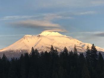
Mt Shasta is the only zone within the forecast area that holds a usable snowpack for winter recreation at this time. Castle Lake and The Eddy Mountains as well as much of the areas east of Mt Shasta are snow free or very thin.
Recent Observations
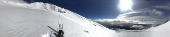
- No recent avalanches or signs of instability in Avalanche Gulch, 1.11.18
- Cloud cover fluctuated; misty fog; poor visibility
- Softish snow surfaces <8200 ft; firm to glazed above >8200 ft
- Very windy near and above treeline, west/southwest
- Thin snowpack with many hazards below treeline
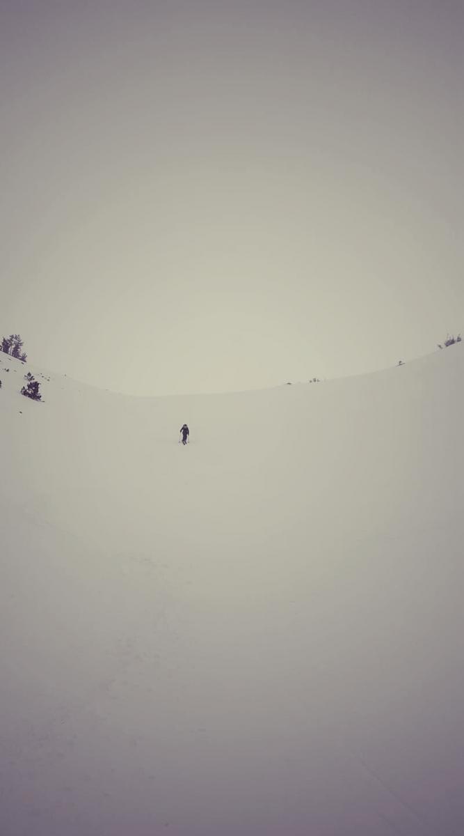
Firm conditions, windy and poor visibility on Spring Hill, Avalanche Gulch, 1.11.18 / Photo: Travis
Weather and Current Conditions
Weather Summary
Precipitation and clouds will taper off today. High pressure strengthens and a weak warm front begins to take seat. By this afternoon, mostly sunny skies should prevail. Above treeline, windy conditions will be present again today. This weekend, expect daytime highs to rise upwards of 10 degrees F and winds to die off. Low fog, clouds and inversions are likely in the valleys.
Next week, models continue to show high certainty for several rounds of storms: Monday afternoon/night, Wednesday and Friday. Snow levels are expected to begin at the 6000 to 7500 ft level for the beginning of the week and lower down to 4000 ft by the end of the week. Naturally, more on this later!
-------------------------
THIS SEASON PRECIPITATION for MT SHASTA CITY: Since October 1st (the wet season), we have received 7.81 inches of water, normal is 17.85 inches, putting us at 43% of normal. For the month of January and 2018, we have received 1.98 inches of water, normal is 2.64 inches, which is 75% of normal.
Always check the weather before you attempt to climb Mount Shasta. Further, monitor the weather as you climb. Becoming caught on the mountain in any type of weather can compromise life and limb. Be prepared.
24 Hour Weather Station Data @ 4:00 AM
| Weather Station | Temp (°F) | Wind (mi/hr) | Snow (in) | Comments | ||||||||
|---|---|---|---|---|---|---|---|---|---|---|---|---|
| Cur | Min | Max | Avg | Avg | Max Gust | Dir | Depth | New | Water Equivalent | Settlement | ||
| Mt. Shasta City (3540 ft) | 39 | 34 | 49 | 42 | 3 | N | ||||||
| Sand Flat (6750 ft) | 28 | 28 | 33 | 32 | 11 | 0 | 0 | 0 | ||||
| Ski Bowl (7600 ft) | 24 | 22 | 33 | 29 | 24 | 0 | 0 | .5 | ||||
| Gray Butte (8000 ft) | 23 | 23 | 31 | 28 | 18 | 43 | W | |||||
| Castle Lake (5870 ft) | 30 | 30 | 38 | 34 | 0 | 0 | 0 | |||||
| Mount Eddy (6509 ft) | 26 | 26 | 38 | 32 | 2 | 13 | WSW | 0 | 0 | 0 | ||
| Ash Creek Bowl (7250 ft) | Station down | |||||||||||
| Ash Creek Ridge (7895 ft) | Station down |
Two Day Mountain Weather Forecast
Produced in partnership with the Medford NWS
| For 7000 ft to 9000 ft | |||
|---|---|---|---|
|
Friday (4 a.m. to 10 p.m.) |
Friday Night (10 p.m. to 4 a.m.) |
Saturday (4 a.m. to 10 p.m.) |
|
| Weather | Mostly cloudy this morning, clearing, partly cloudy this afternoon | Partly cloudy becoming mostly clear | Sunny, not as cool, warming |
| Temperature (°F) | 43 | 34 | 51 |
| Wind (mi/hr) | Southwest 5-10 mph | North 5-10 mph | East 5-10 mph |
| Precipitation SWE / Snowfall (in) | / 0 | / 0 | / 0 |
| For 9000 ft to 11000 ft | |||
| Friday | Friday Night | Saturday | |
| Weather | Slight chance of showers this morning, mostly cloudy, clearing, partly cloudy this afternoon, windy. | Mostly clear, blustery | Sunny |
| Temperature (°F) | 31 | 31 | 36 |
| Wind (mi/hr) | West 30-40 mph | North 0 | Northeast 5-15 mph |
| Precipitation SWE / Snowfall (in) | / 0 | / 0 | / 0 |

