

You are here
Snowpit on Coyote Butte

Location Name:
East side of Coyote ButteRegion:
Mt. ShastaDate and time of observation:
Sat, 12/24/2016 - 4:45pmObservation made by:
PublicRed Flags:
Recent loading by new snow, wind, or rain
Obvious avalanche path
Terrain Trap
Location Map
United States
41° 19' 57.7056" N, 122° 11' 34.9116" W
See map: Google Maps
US
Snowpack Observations
Details
Snow Pit Photos
Weather Observations
Details
Statistics
Cloud Cover:
ClearBlowing Snow:
Precipitation:
Accumulation rate:
Air temperature:
Below FreezingAir temperature trend:
StaticWind Speed:
LightWind Direction:
Southeast

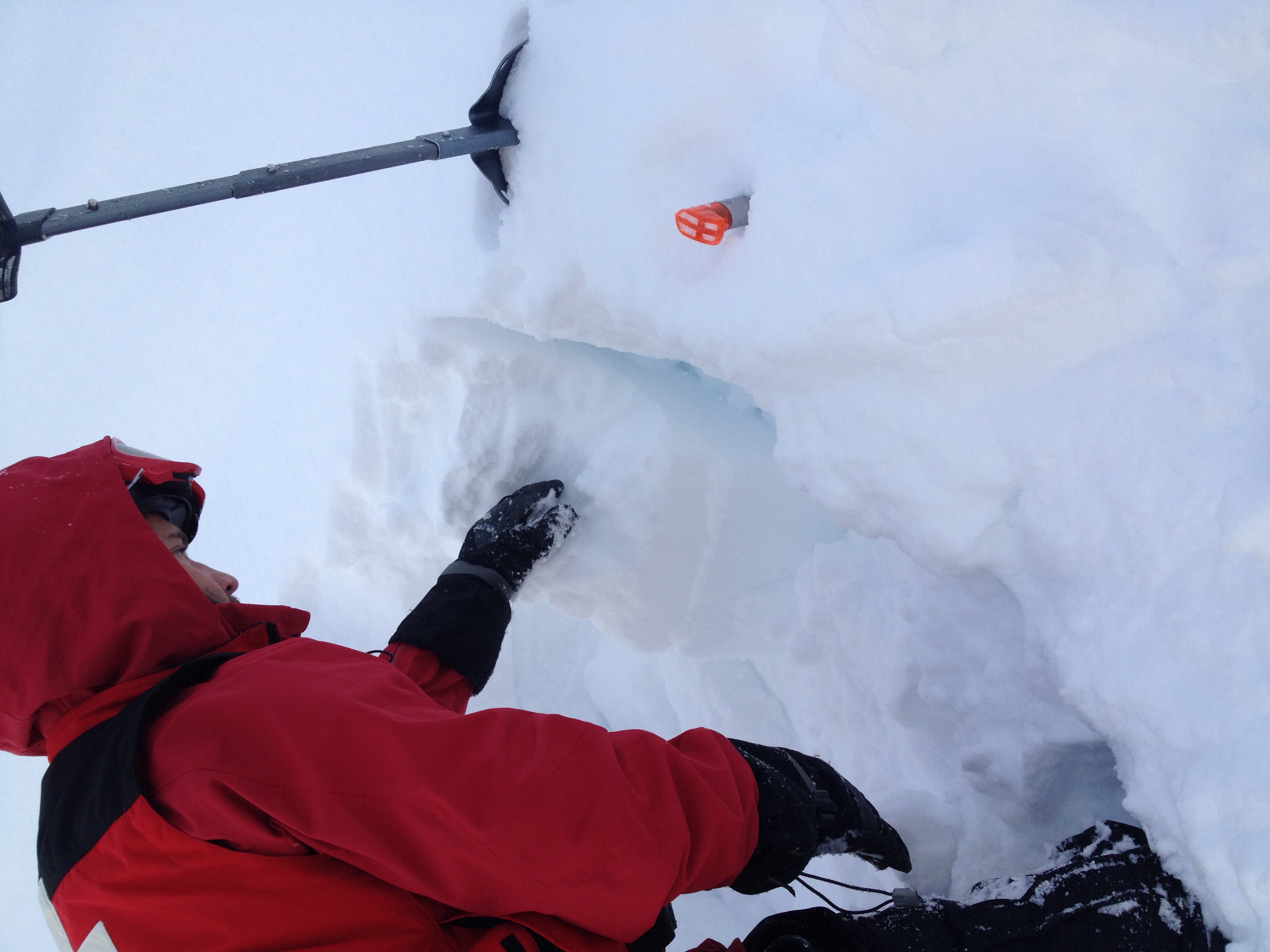
Hasty pit results from MSSP Ski Patrol
East-south/east aspect of Coyote Butte. Wind and storm depositied snow. Approximately 25 degrees F.
Slope at site of pit - approx 28 degrees
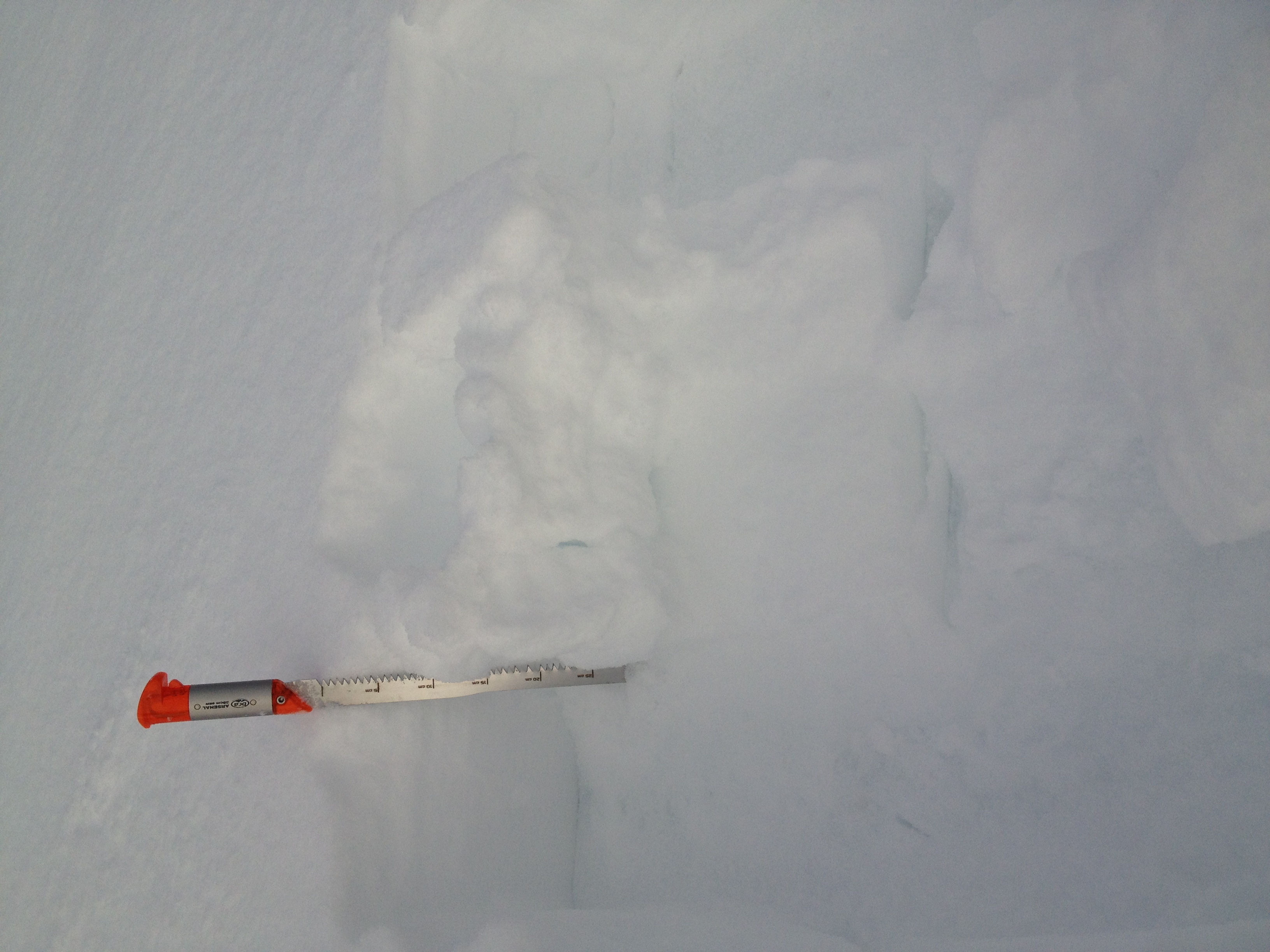
35 cm of new and wind effcted snow on top of a hard and glazed ice layer.
CT8, Q3 at 10 cm / CT9, Q3 at same depth. lower snow well bonded to that ice layer.
Digging through the ice layer (15 cm) showed ice forms and loose unconsolidated snow beneath.
CT23, Q1 at approximately 45 cm
Belayed ski cut did not produce any significant cracking / propagation. Skiing the slope did not produce any activity.