You are here
Trailhead Access Update
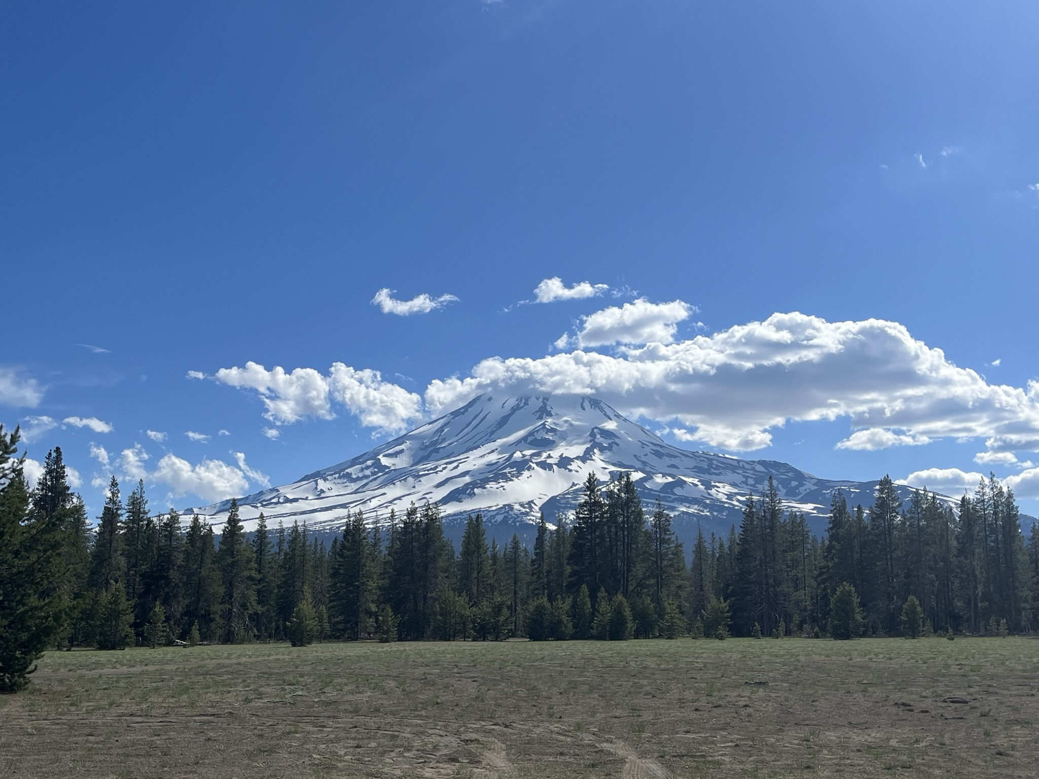
General Conditions
Trailhead Access Update 6-19-23
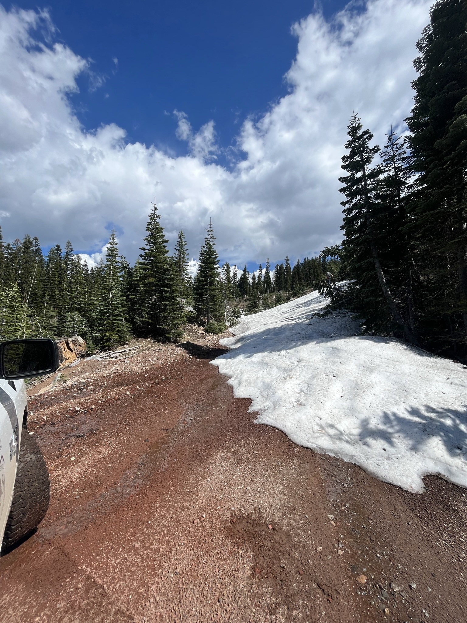
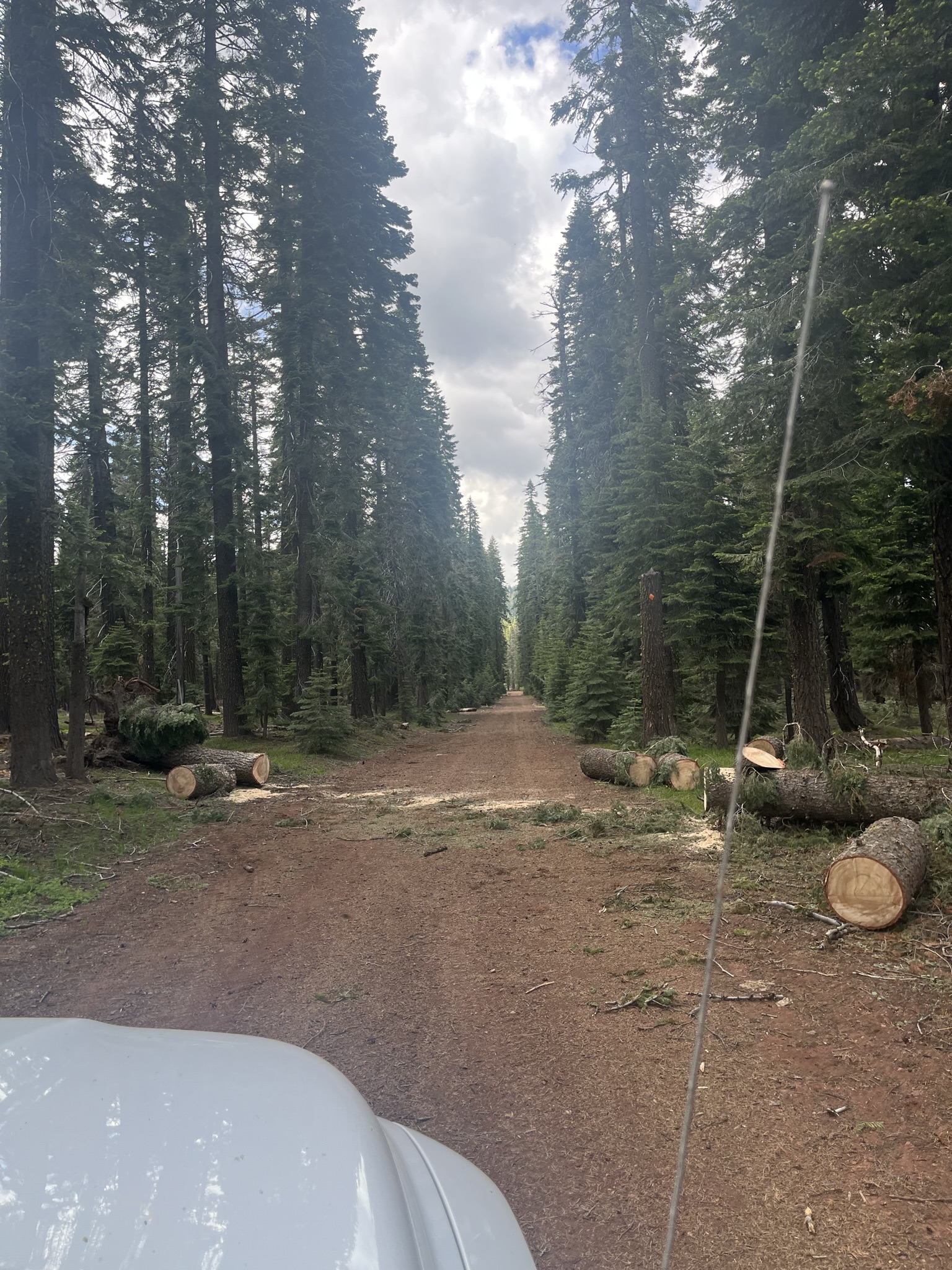
Mileage represents distance of snow covered roads to the trailhead, not passable by vehicle. We are actively clearing these roads and high winds continue to bring trees down so be prepared to cut your way out if planning trips from these more remote access points. Reliable cell service is hard to come by on the East side of the mountain.
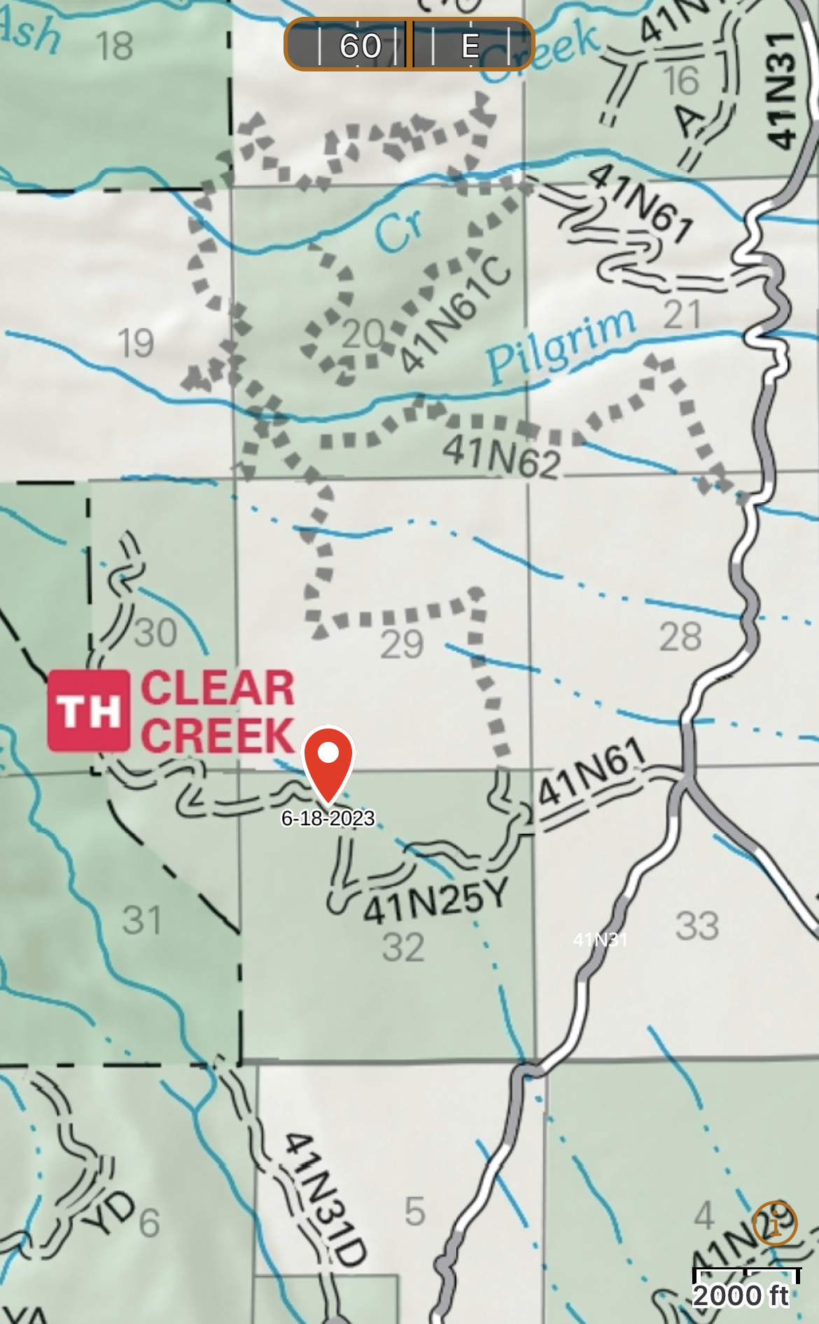
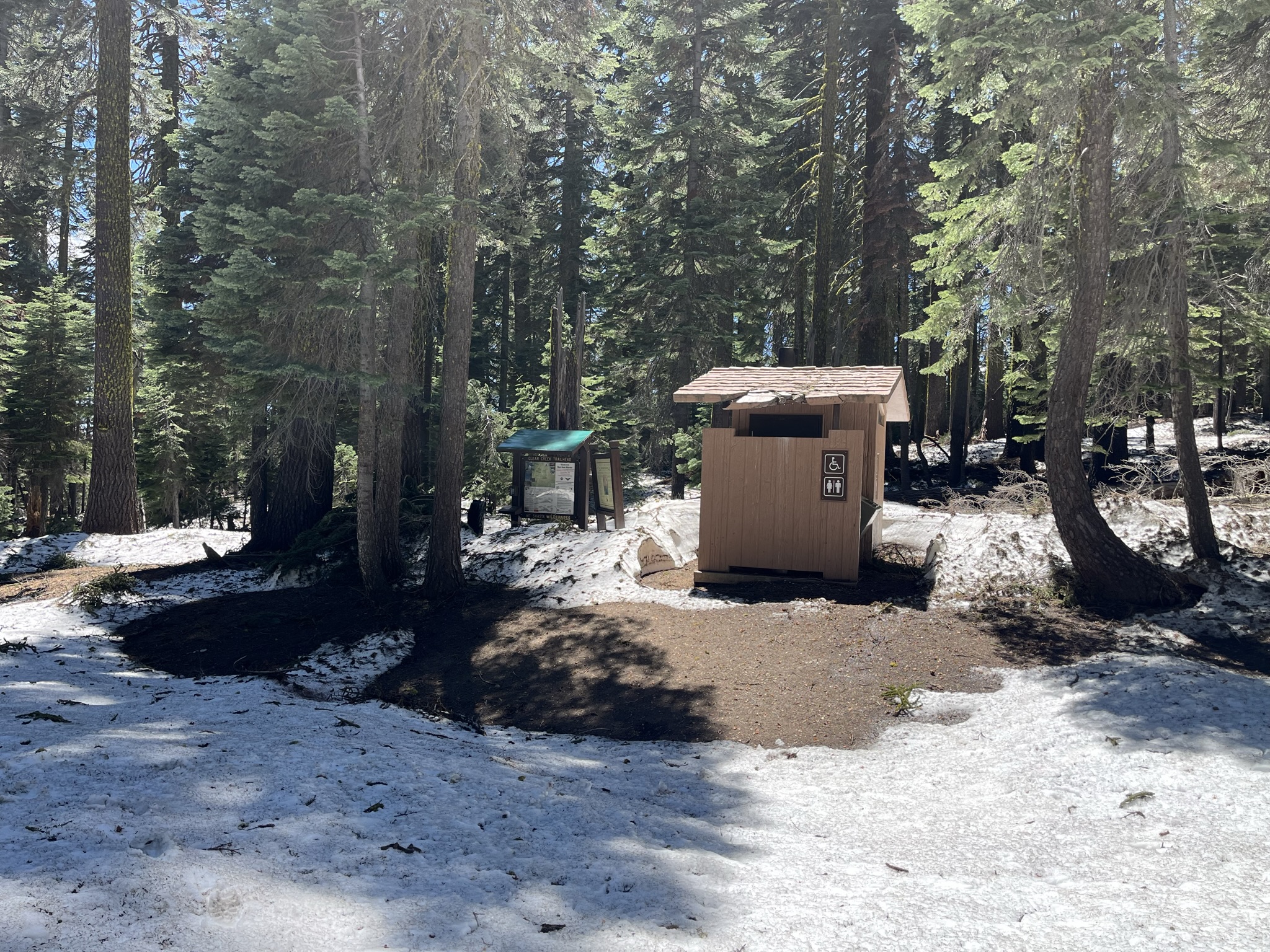
Clear Creek - 1.2 miles - We have yet to stock this trailhead so be sure get your summit pass, wilderness permit and wag bags at the Mount Shasta or McCloud Ranger Station.
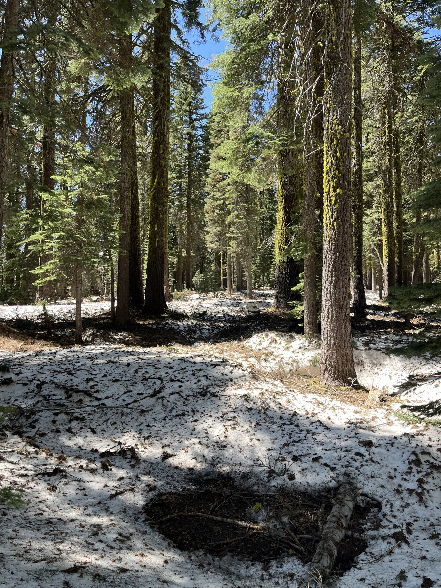
This route has snow on it still, but inconsistent with long stringers here and there. The snow is likely getting dirty with hollow pockets/postholing. These conditions are typical for this time of year.
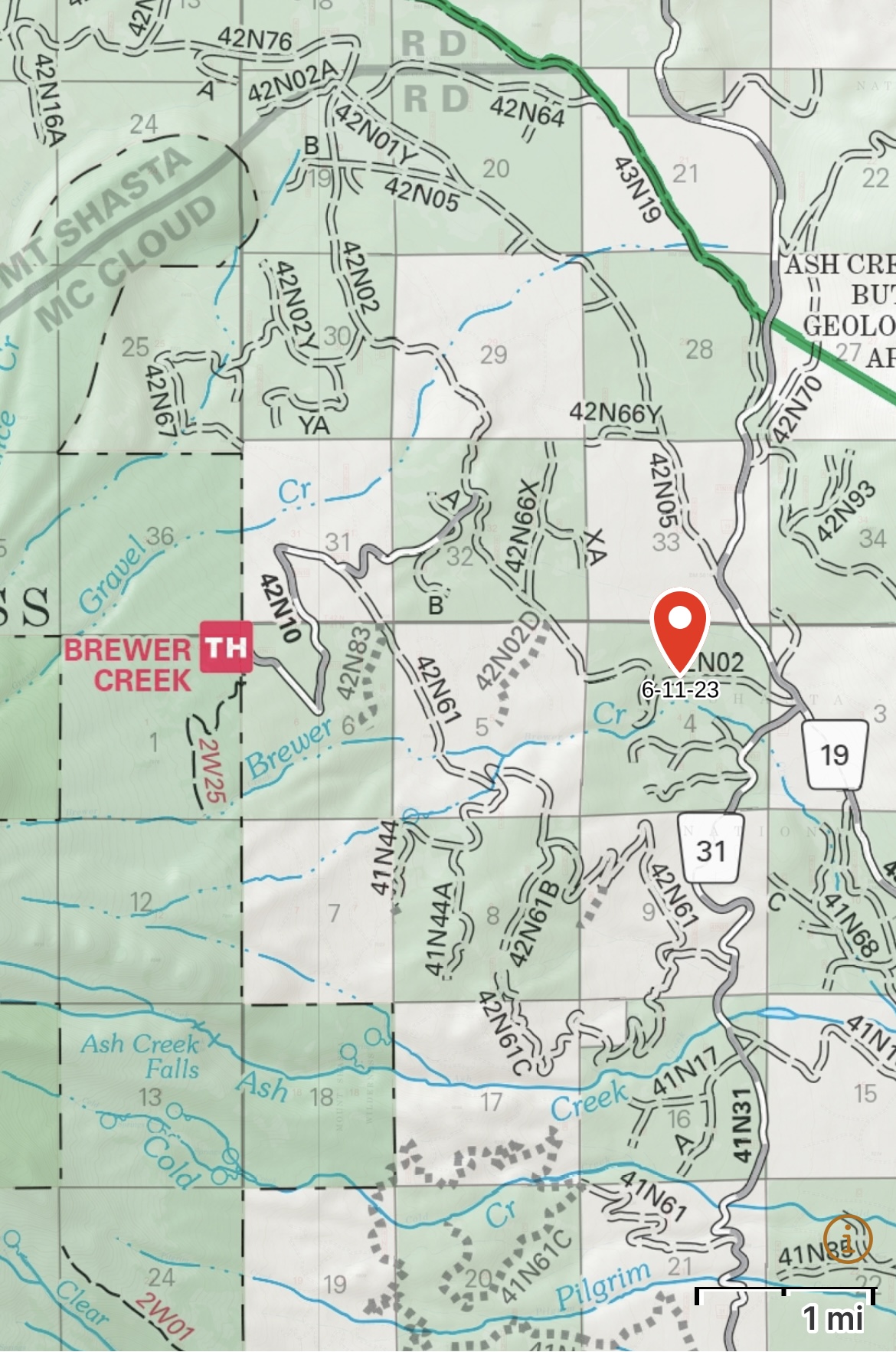
Brewer Creek - We have yet to stock this trailhead yet so be sure get your summit pass, wilderness permit and wag bags at the Mount Shasta or McCloud Ranger Station.
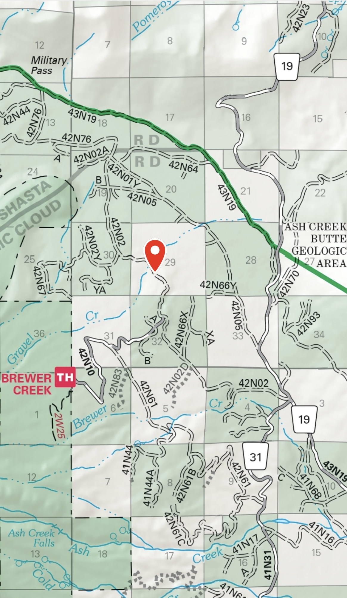
From Highway 89 you can drive within 5.2 miles of the trailhead via the south side of Forest Service Road 42N02.
From Highway 97, you can drive within 3.7 miles of the trailhead via the north side of Forest Service Road 42N02.
Northgate - Open, stocked with wilderness permits, summit passes for self-issue and wag bags. The bathrooms are also open. The Northgate trailhead road is very rough. Four-wheel drive isn't needed, but decent clearance is. The route looks in good shape. Watch for icy patches and weak snow bridges. Know where glaciers exist. Routes on this side of the mountain are not for novices.
Military Pass - OPEN.