

You are here
Ash Creek Crater Avalanche

Location Name:
Ash Creek ButteRegion:
East of Mt ShastaDate and time of avalanche (best estimate if unknown):
Wed, 01/09/2019 - 1:00pmObservation made by:
AmbassadorRed Flags:
Recent loading by new snow, wind, or rain
Obvious avalanche path
Terrain Trap
Location Map
96067
Mount Shasta
, CA
United States
41° 27' 10.566" N, 122° 2' 59.9352" W
See map: Google Maps
California US
Avalanche Observations
Details
Photos
Characteristics
Avalanche Type:
SlabTrigger type:
NaturalSlope:
38degreesAspect:
NorthwestElevation:
7 800ft.Terrain:
Near TreelineWeak Layer:
UnknownBed Surface:
UnknownCrown Height:
2 ftAvalanche Width:
200ft.Avalanche Length:
1 300ft.Number of partial burials:
0Number of full burials:
0Weather Observations
Details
The weather was mostly clear with low clouds. A light rain/mist was observed in the early AM hours, but cleared up during the day. Winds were calm.
Statistics
Cloud Cover:
25% of the sky covered by cloudsBlowing Snow:
NoPrecipitation:
NoneAccumulation rate:
NoneAir temperature:
Below FreezingAir temperature trend:
CoolingWind Speed:
Calm

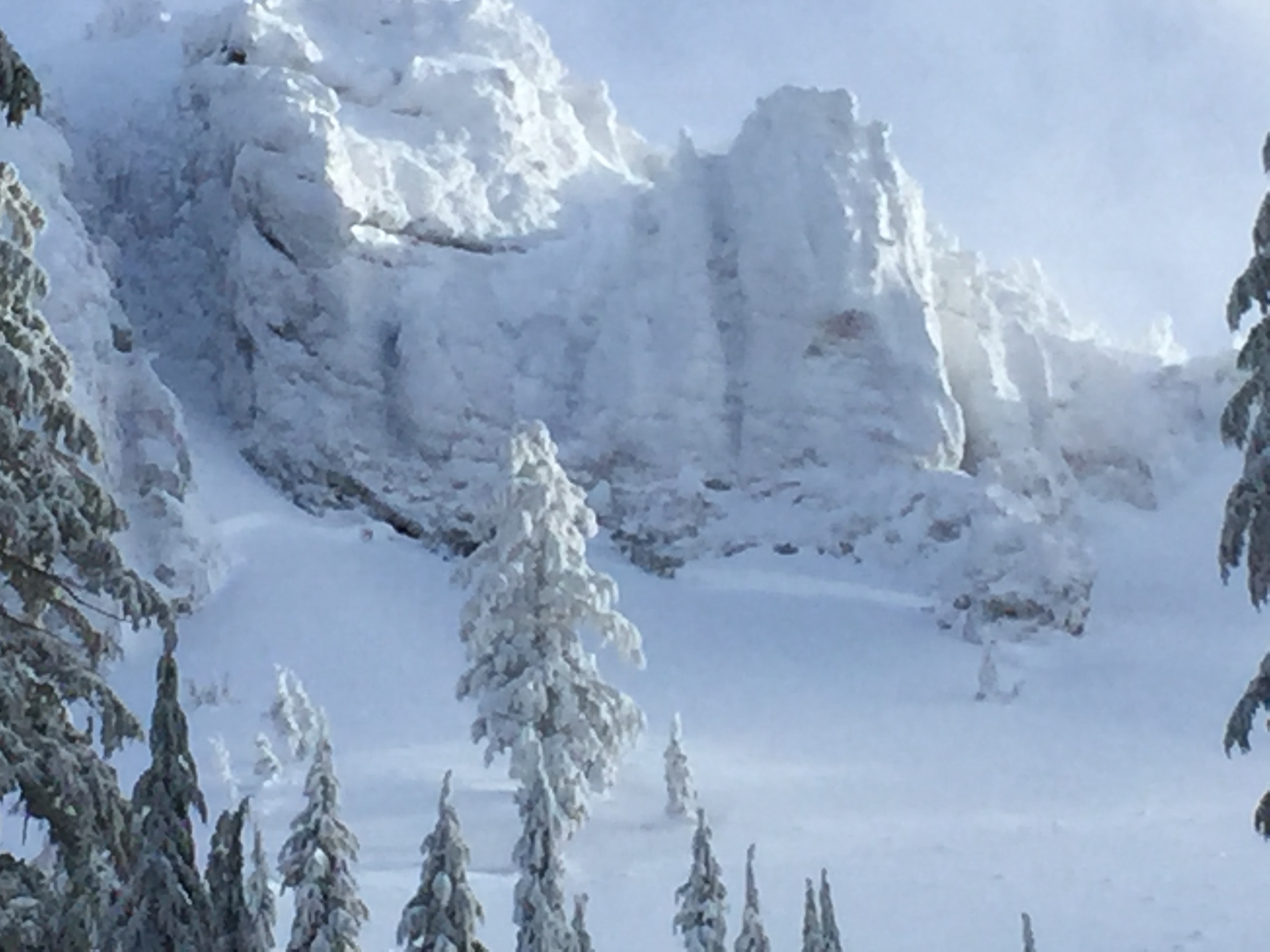
A slab avalanche occurred naturally off the N/NW facing aspect of Ash Creek Butte (Ash Creek Crater). The slide broke several 4 inch round trees in its path. A definite weak layer existed 18 inches from the snow surface.