You are here
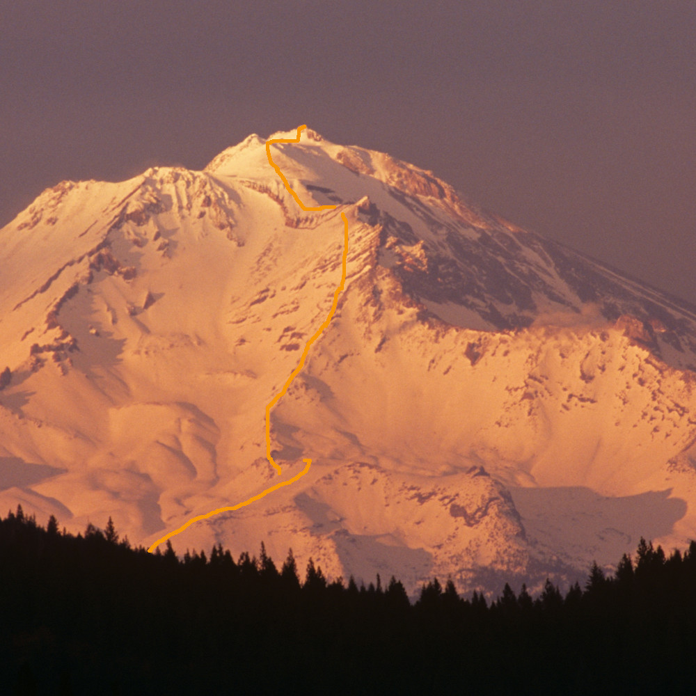
Green Butte Ridge
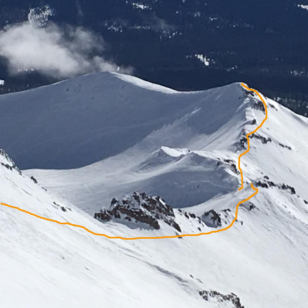
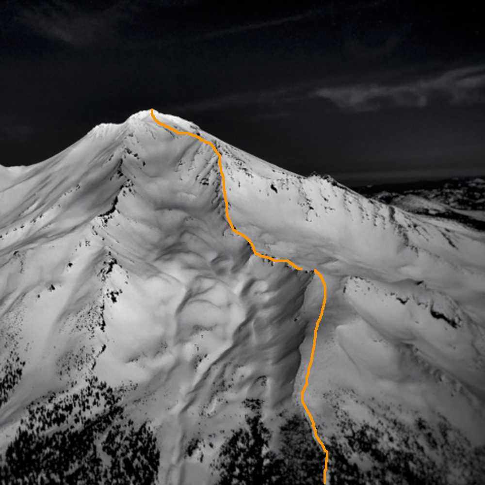
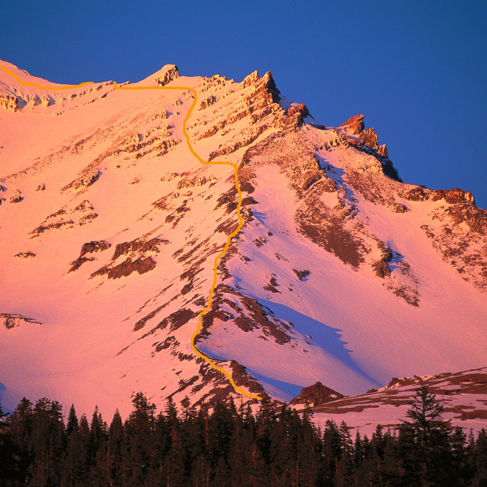
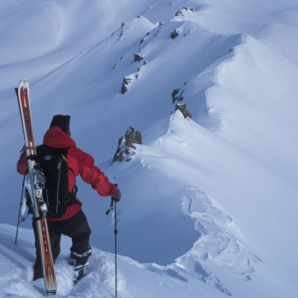
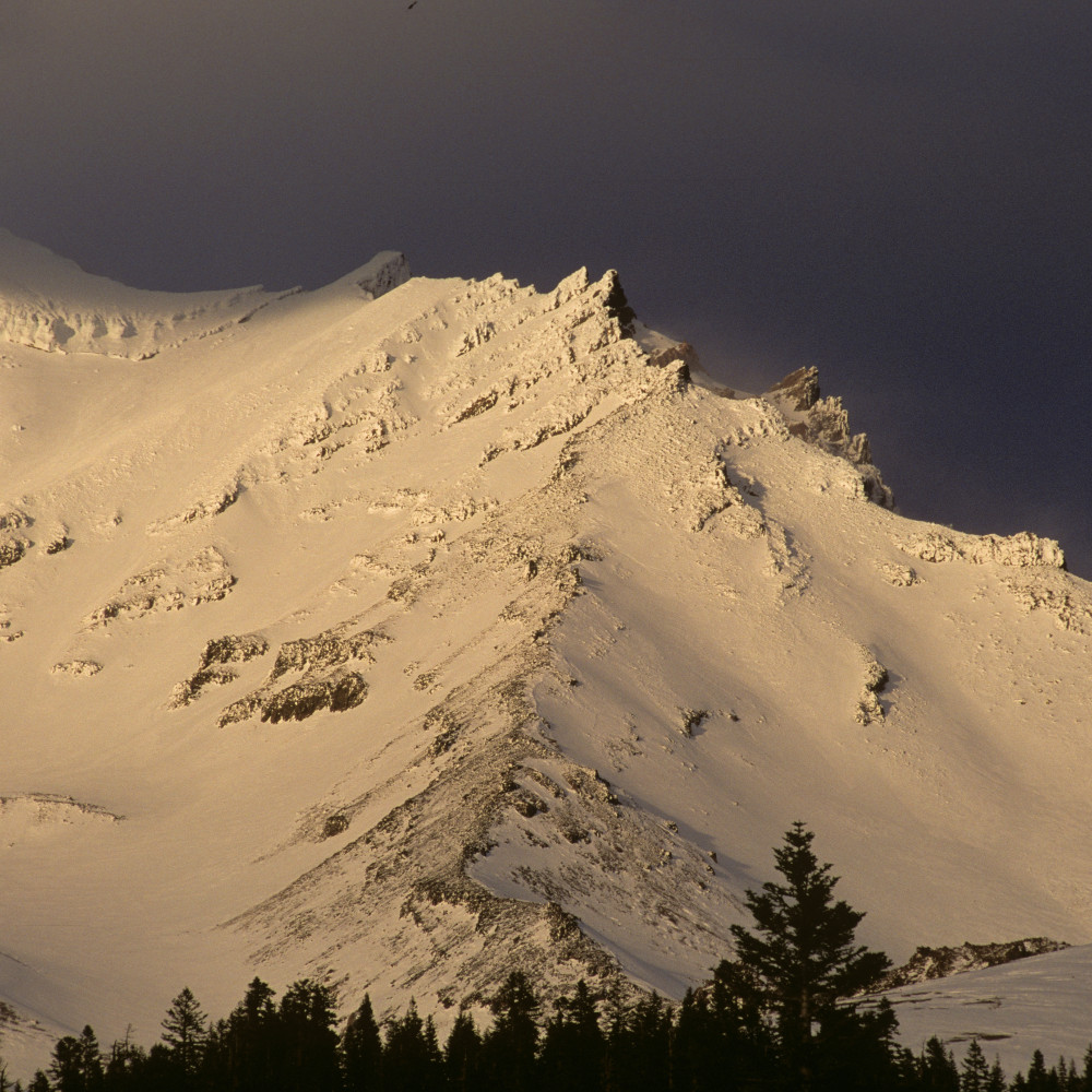
The lower portion of this route is the most traveled winter line on the mountain. Called “Broadway”, the area just above tree line is commonly frequented by tele, randonee, and boarders for its safe ascent/descent during winter storms. Once above tree line, it’s a pretty straight forward line along the broad ridge leading to Green Butte. This section is an exercise in wind survival during storms. There is not much cover for "bivy" sites between 8,000 and 10,000 feet, or higher for that matter. That said, in the shallow dip between high points on Green Butte and Sargents Ridge, will provide the best options, albeit exposed. Keep in mind that Mt. Shasta is “multi-use” and Old Ski Bowl (OSB), just to the east, is outside of the wilderness. Snowmobiles often frequent OSB, so don’t expect a quiet wilderness get away during the day as sledders can challenge the camp aesthetics. From Green Butte, the route is a beautiful line joining Sargents Ridge at approximately 12,000 feet. The bonus of this route is that you will get to enjoy the best challenges of Sargents Ridge as well. Early season it’s a great route with magnificent exposure along the upper third of the route. If you bivouac low enough you can descend via Avalanche Gulch and get in a fun ski/board descent, as well.
Mid and late season this route is void of snow, and is not recommended. If conditions are favorable, and you are in good physical shape, you can do it in a day.