You are here
Avalanche Gulch
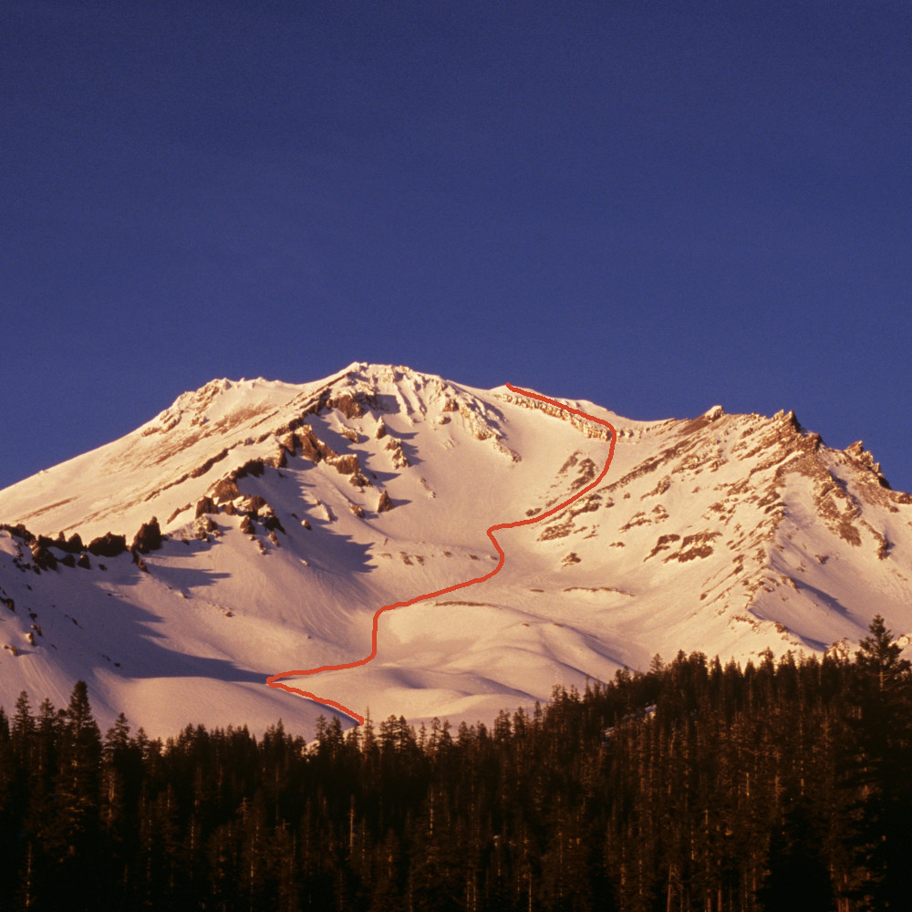
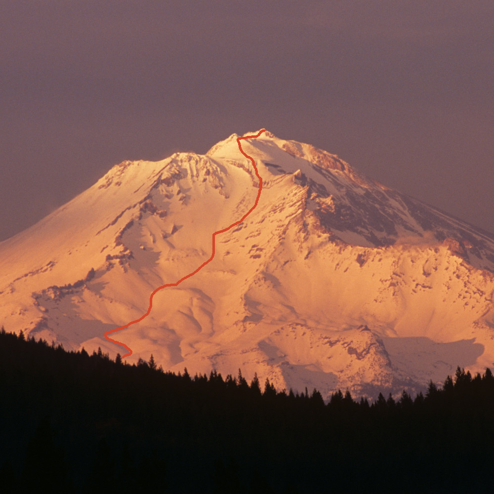
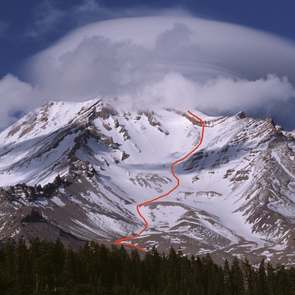
The Avalanche Gulch/John Muir route begins at Bunny Flat trailhead following a shaded Shasta Red Fir lined hike that leads to the Sierra Club Hut (Horse Camp) just below tree line at 7,900 feet. Horse Camp offers access to fresh spring water, use of composting toilets, a small stone cabin built in 1922 and camping. There is a Sierra Club caretaker on duty and they ask for a nominal $3 bivy or $5 camp fee. Horse Camp offers beautiful camping for beginner backpackers as well as a sheltered stay for climbers. From here the trail ascends along "Olberman's Causeway," a stone causeway, leading to Spring Hill. Steep switchbacks follow up to what is called 50/50 Flat. From this point, the summer climber’s route continues up and right along 50/50 following moraines that stair step up to the climber's right side of the Helen Lake moraine. Helen Lake is the typical bivouac site for a two-day climb.
The climb to the summit is steep and rigorous requiring crampons, a mountain axe, helmet, and basic snow travel skills (i.e. basic climbing technique and self-arrest skills). Don't consider this route as a cake walk. Though not an overly technical route, it does follow a 7,000 vertical foot ascent that exposes the climber to steep snow and ice, rock fall, and weather extremes. In early season the route is entirely snow and ice. Mid to late season the lower portions lose their snow cover and route conditions vary from good trail to tough loose scree, talus, and sandy surfaces. Later season climbing will expose you to dramatically increased rock fall and is not advised. The best time to climb is usually April through June and sometimes July, rarely August through November. A winter climb of this route or any route on the mountain increases the ante due to avalanche hazard, extreme weather and short days.
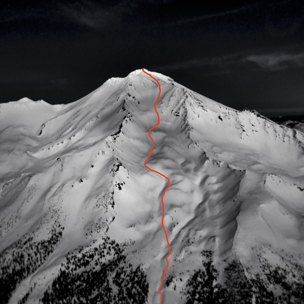
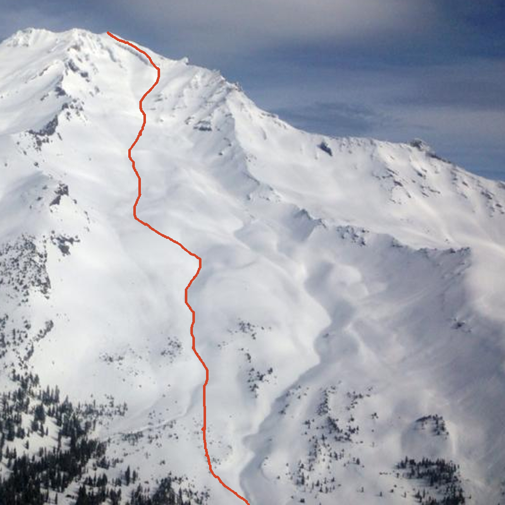
The classic route from Helen Lake climbs up and to the right of The Heart, through one of the Red Bank's right side chutes, or around the right end of the Red Banks near the Thumb. The latter option is an early season variation that skirts along the top of the Konwonkiton Glacier. The chutes are more favorable later in the season as to avoid the ever widening Konwakiton begrschrund. From above the Red Banks the route heads up a few hundred yards along what is called "short hill" to the base of Misery Hill. The hike up Misery Hill can be exactly that. It starts at over 13,000 feet and is known as a false summit. The true summit is not yet visible. This is a good spot for a break and a chance to take in the stunning views. From the top of Misery Hill, it is a few hundred yards across the summit plateau to the summit pinnacle. Be careful when descending as many climbers have accidentally descended down the east side of the mountain (Mud Creek Canyon) during limited visibility conditions.
Most folks complete this climb over two days, but those that are focused and fit can make a long day out of it. Some choose a three day climb for a nice, full weekend.