

You are here
Avalanches and Red Flags

Location Name:
Mount Shasta and Castle LakeRegion:
Mt. ShastaDate and time of avalanche (best estimate if unknown):
Thu, 03/11/2021 - 11:30amObservation made by:
ForecasterRed Flags:
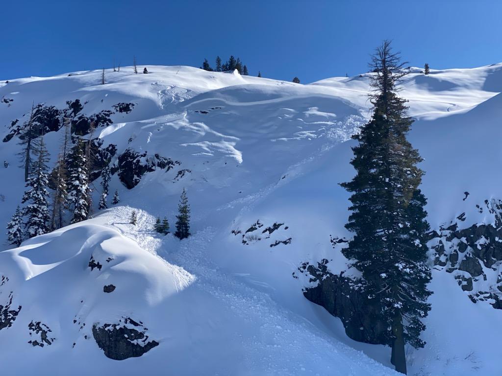
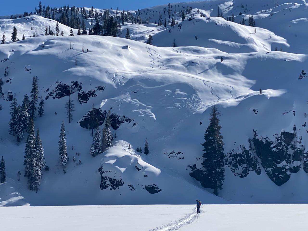
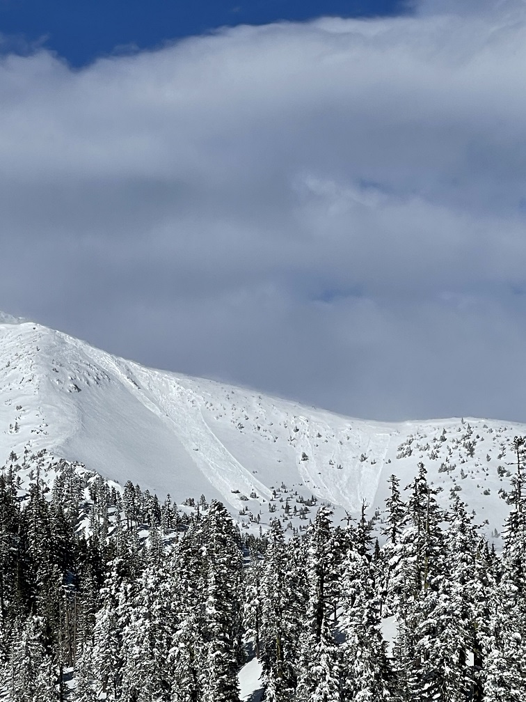
Recent avalanche activity
Recent loading by new snow, wind, or rain
Terrain Trap
Location Map
96067
Mount Shasta
, CA
United States
41° 13' 25.1436" N, 122° 22' 56.8848" W
See map: Google Maps
California US
Avalanche Observations
Details
Photos
Characteristics
Avalanche Type:
SlabWeather Observations
Statistics
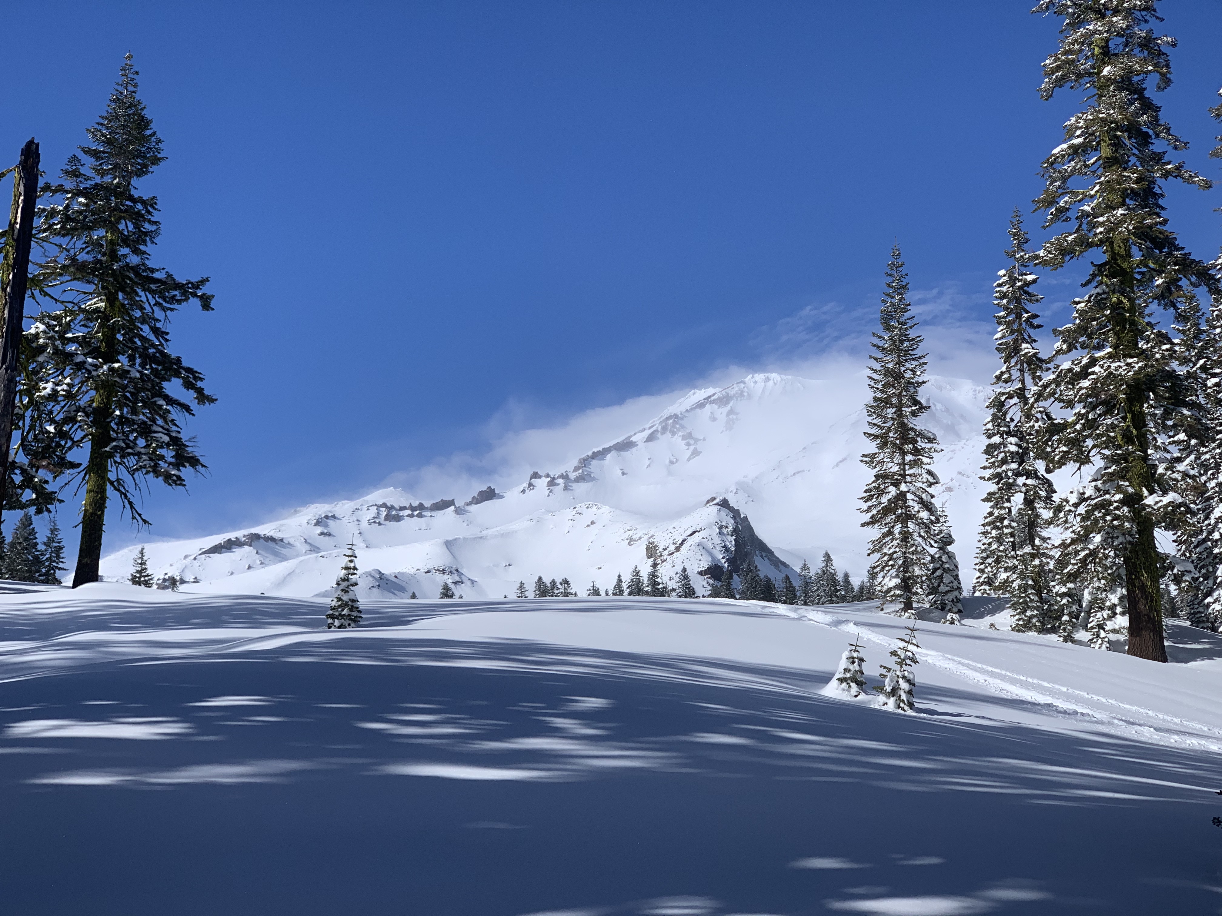
Cloud Cover:
25% of the sky covered by cloudsBlowing Snow:
YesPrecipitation:
NoneAccumulation rate:
Less than 1 in. per hourAir temperature:
Below FreezingAir temperature trend:
WarmingWind Speed:
ModerateWind Direction:
Northeast

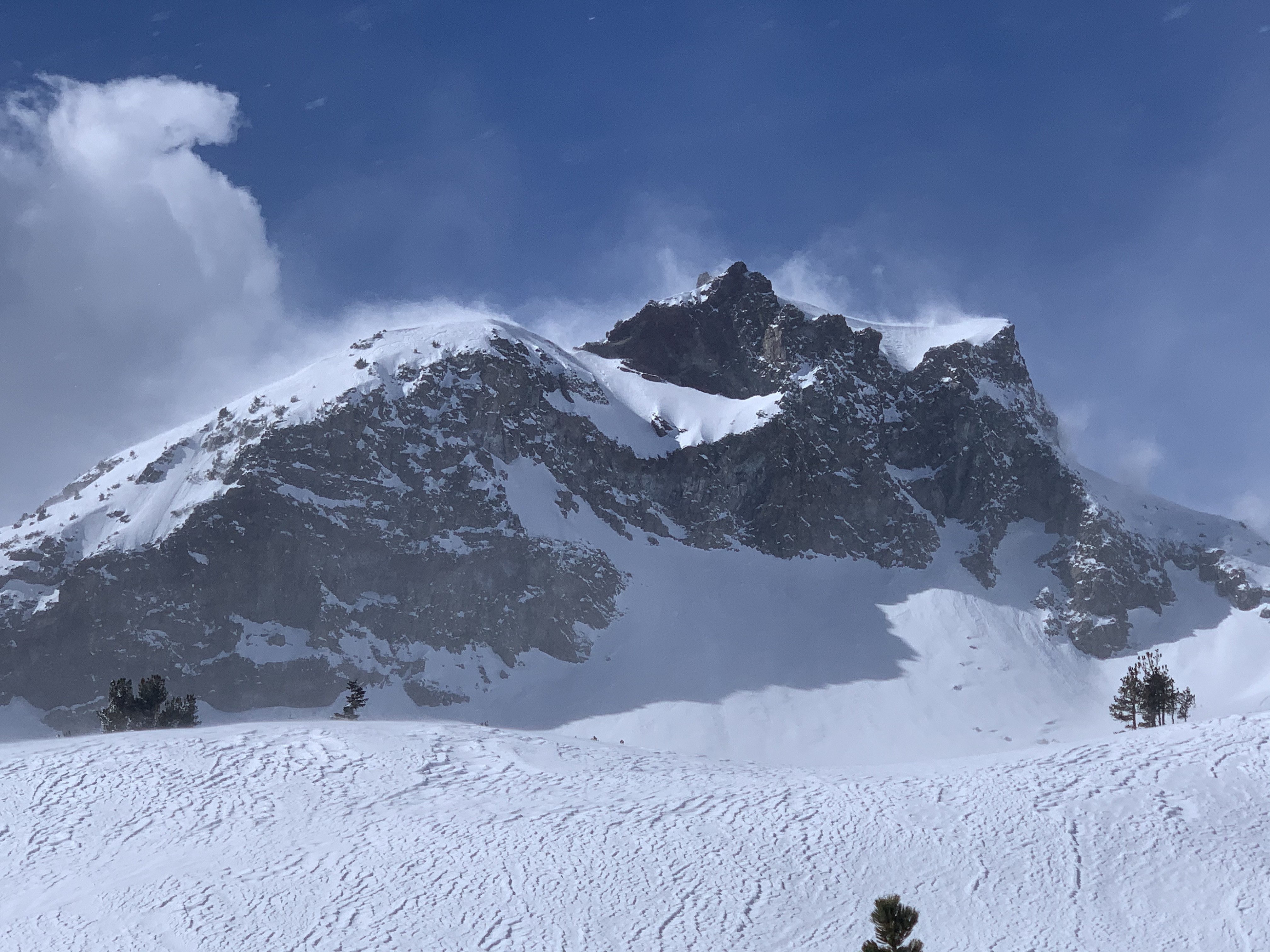
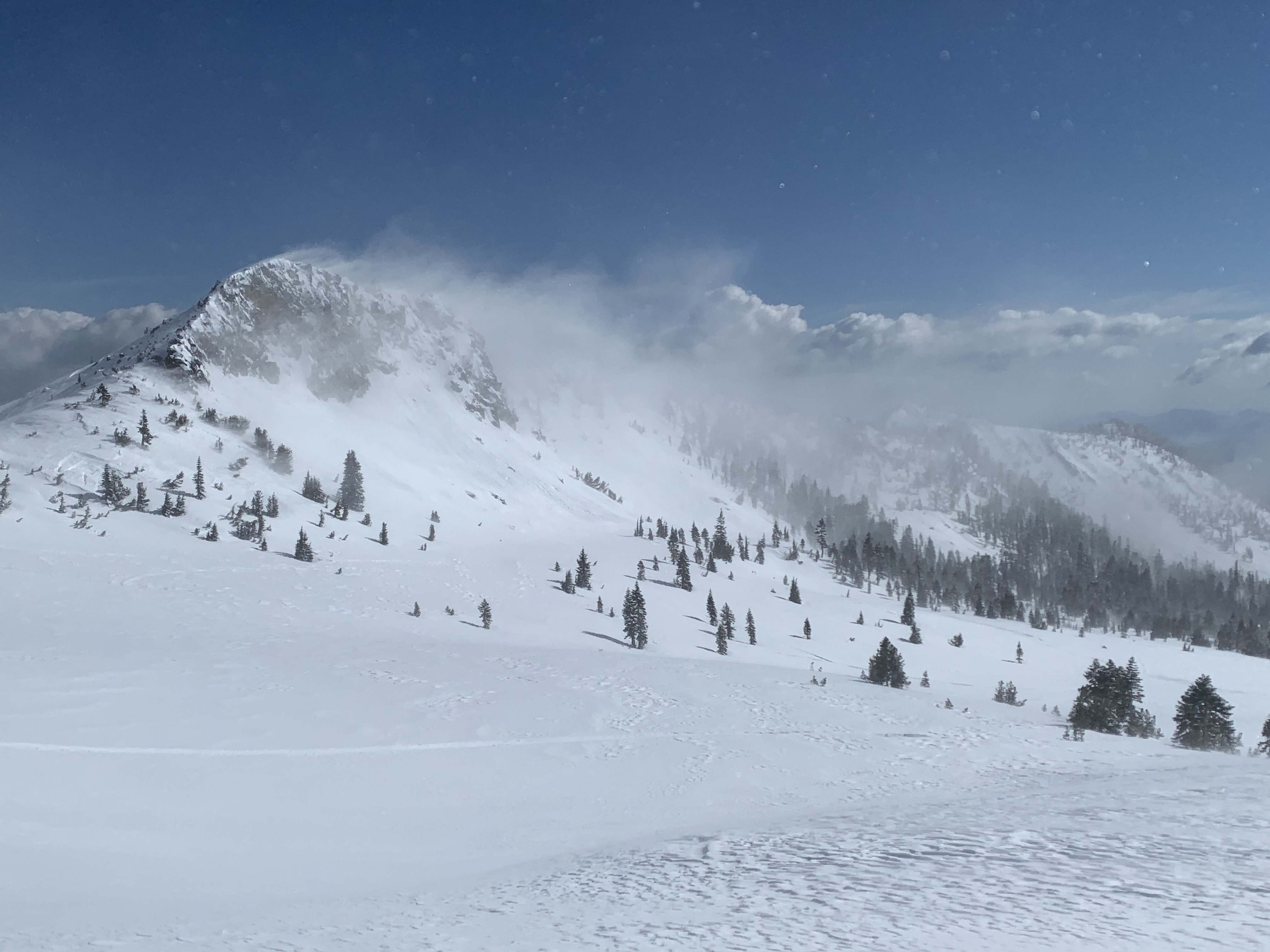
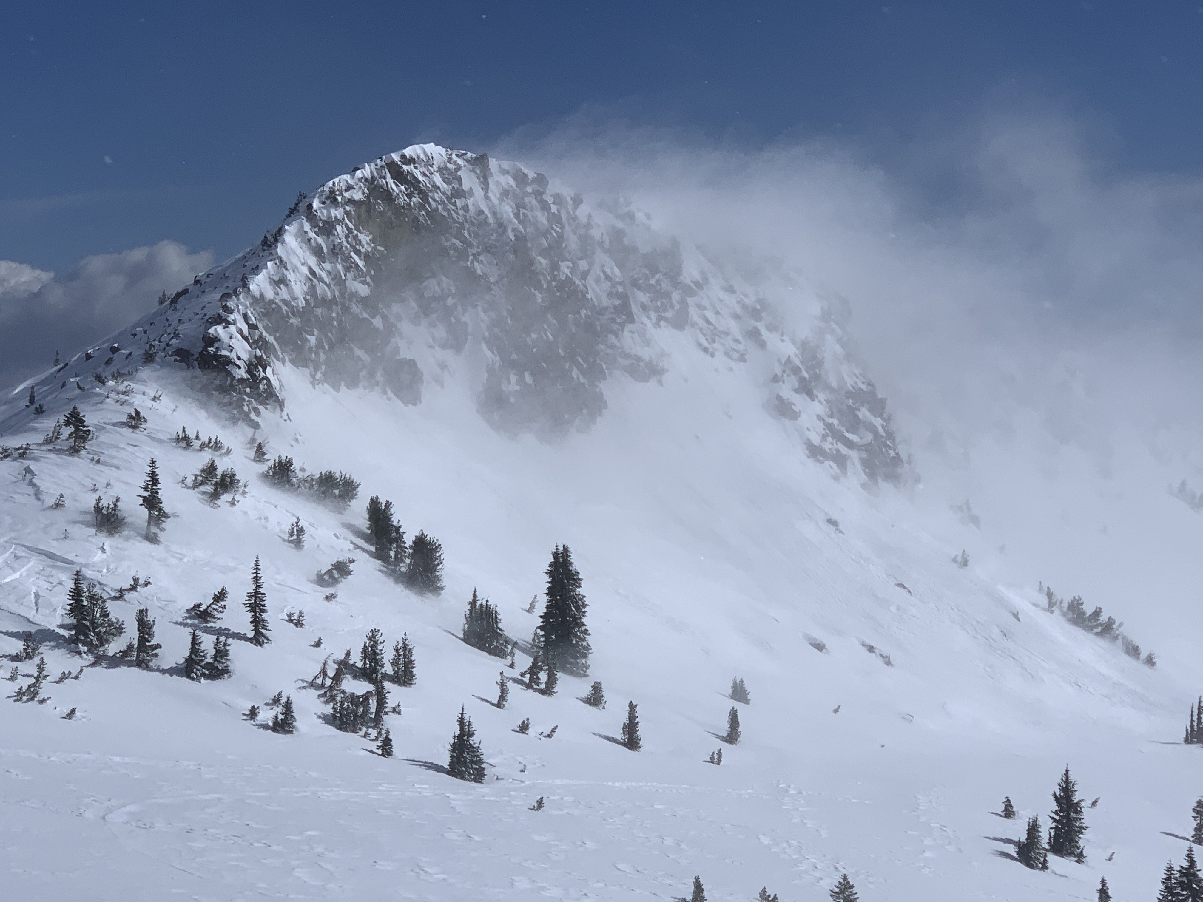
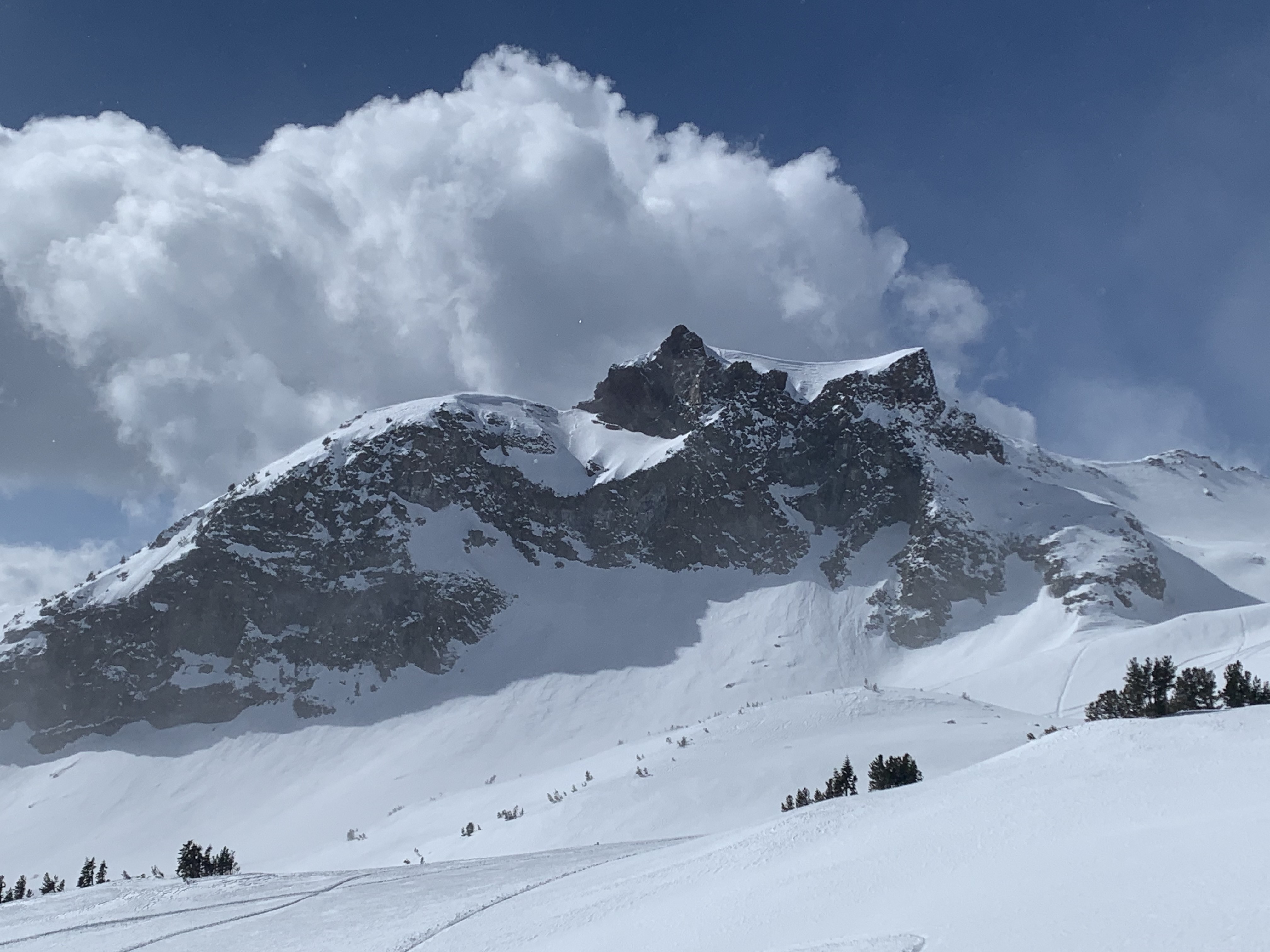
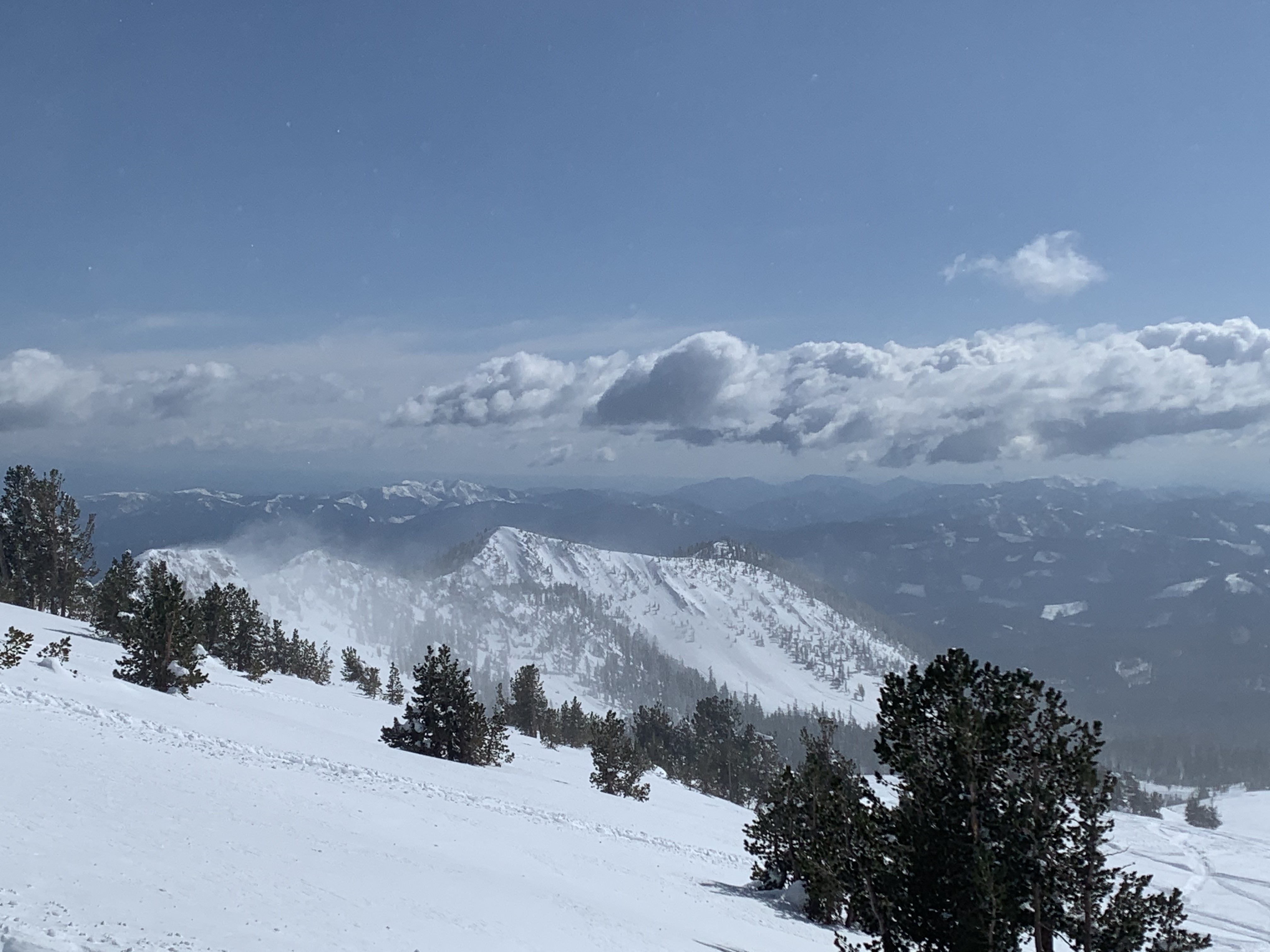
Today was the first mostly clear day after a rather surprisingly strong storm that brought nearly 30 inches of new snow to the mountains. Several red flags of danger presented today: