

You are here
Hard Slab Avalanche
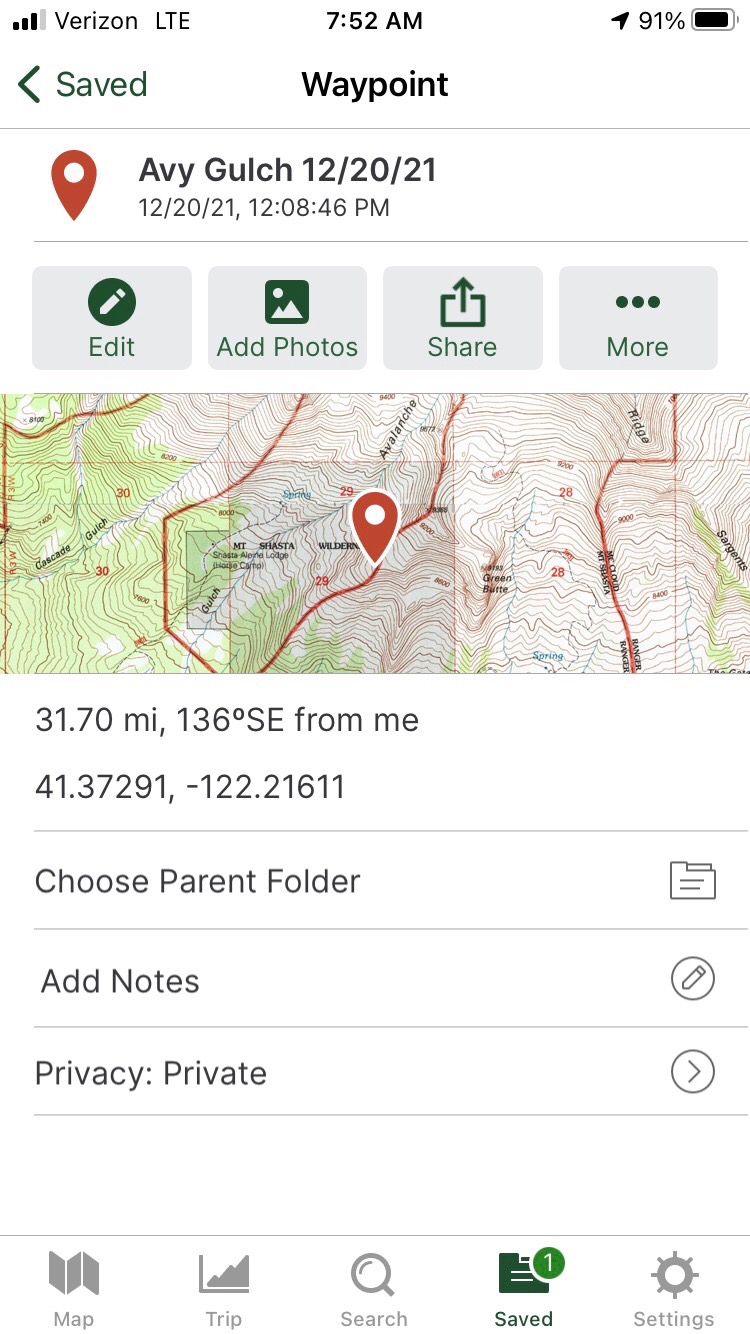
Location Name:
Avalanche GulchRegion:
Mt. ShastaDate and time of avalanche (best estimate if unknown):
Mon, 12/20/2021 - 11:30amObservation made by:
PublicRed Flags:
Recent avalanche activity
Recent loading by new snow, wind, or rain
Location Map
96067
Mount Shasta
, CA
United States
41° 22' 14.0232" N, 122° 13' 7.5468" W
See map: Google Maps
California US
Avalanche Observations
Details
Photos
Characteristics
Avalanche Type:
SlabTrigger type:
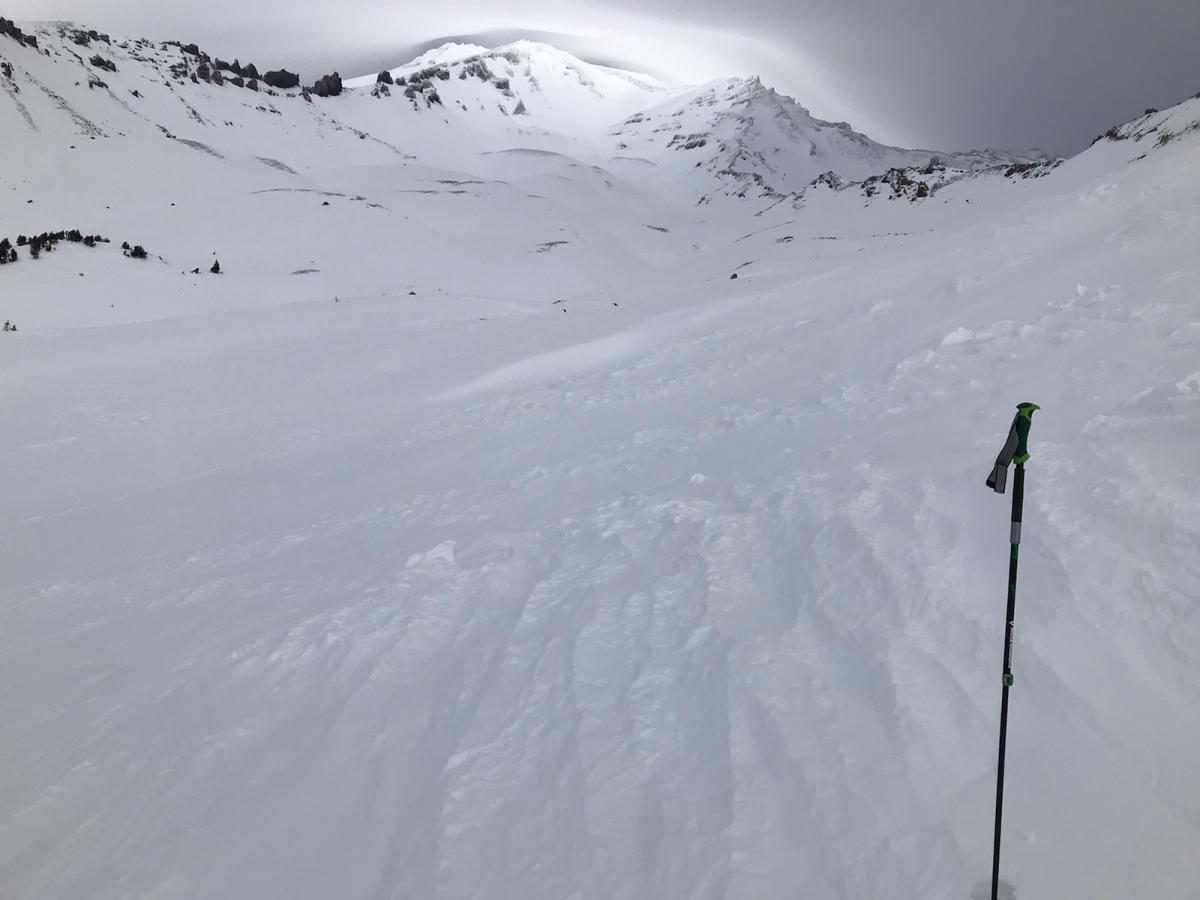
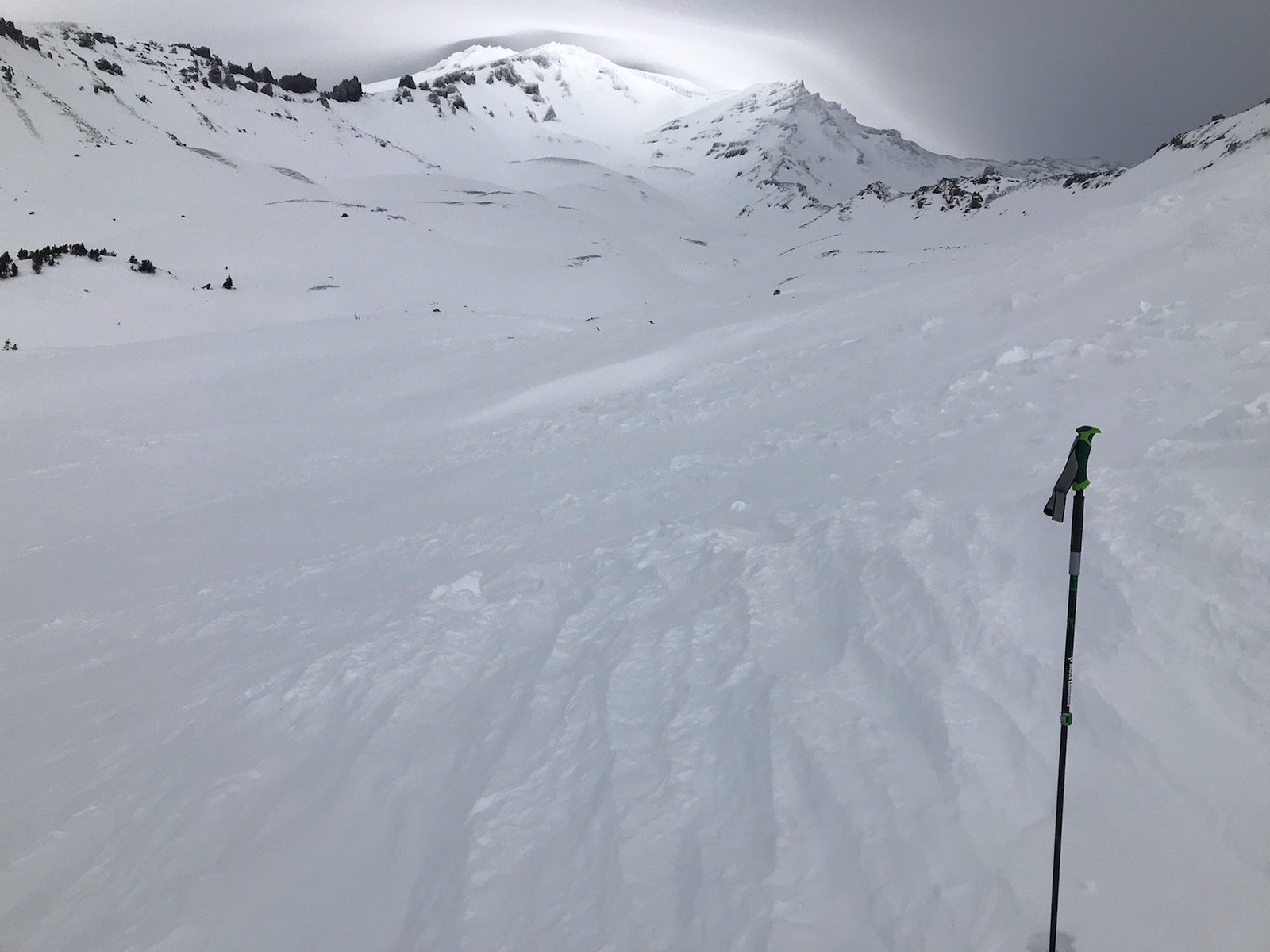
NaturalSlope:
35degreesAspect:
WestElevation:
8 500ft.Terrain:
Above TreelineWeak Layer:
UnknownBed Surface:
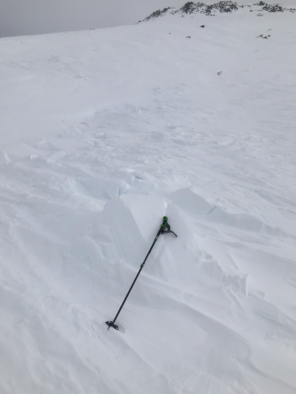
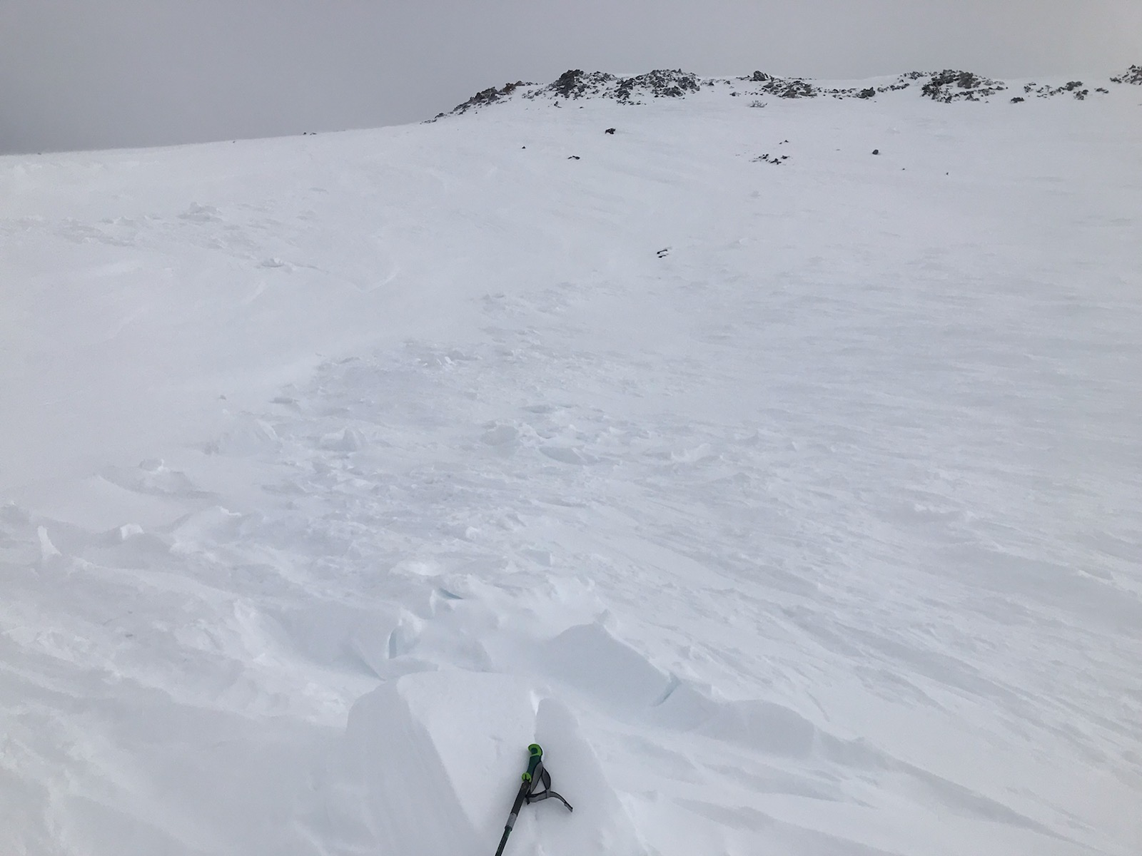
UnknownCrown Height:
1 ftAvalanche Width:
300ft.Avalanche Length:
250ft.Number of people caught:
0Number of partial burials:
0Number of full burials:
0Weather Observations
Statistics
Cloud Cover:
75% of the sky covered by cloudsPrecipitation:
NoneAir temperature:
Below Freezing

Public avalanche observation submitted on 12/23/21, avalanche observed on 12/20/21.
Hard slab avalanche observed in Avalanche Gulch, above treeline, off Green Butte Ridge, west side, 8,500 feet.
DATA CODE: HS-N-D2-R2