

You are here
Large Avalanche - Eddy Mountains
Location Name:
Parks Creek Summit AreaRegion:
Mt EddyDate and time of avalanche (best estimate if unknown):
Wed, 03/29/2023 - 3:30pmObservation made by:
ForecasterRed Flags:
Recent loading by new snow, wind, or rain
Obvious avalanche path
Location Map
96067
Mount Shasta
, CA
United States
41° 21' 48.5964" N, 122° 32' 48.6096" W
See map: Google Maps
California US
Avalanche Observations
Details
Photos

Characteristics
Avalanche Type:
SlabTrigger type:
SnowmobilerSlope:
38degreesAspect:
NortheastElevation:
6 600ft.Terrain:
Near TreelineWeak Layer:
Storm SnowBed Surface:
Old SnowCrown Height:
2 ftAvalanche Width:
600ft.Avalanche Length:
1 000ft.Number of people caught:
0Number of partial burials:
0Number of full burials:
0Weather Observations
Details
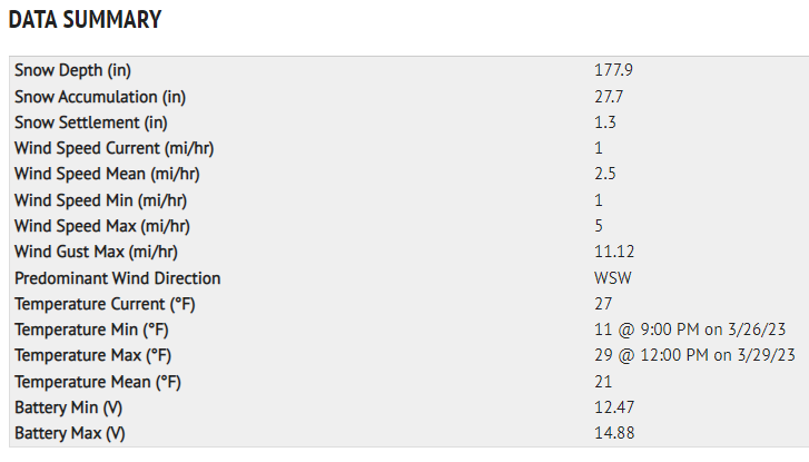
Last 3 days weather data from Mount Eddy weather station, issued 3.29.23 at 06:30pm:
Statistics
Cloud Cover:
75% of the sky covered by cloudsBlowing Snow:
NoPrecipitation:
SnowAccumulation rate:
NoneAir temperature:
Below FreezingAir temperature trend:
StaticWind Speed:
CalmWind Direction:
Northeast

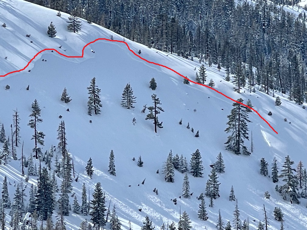
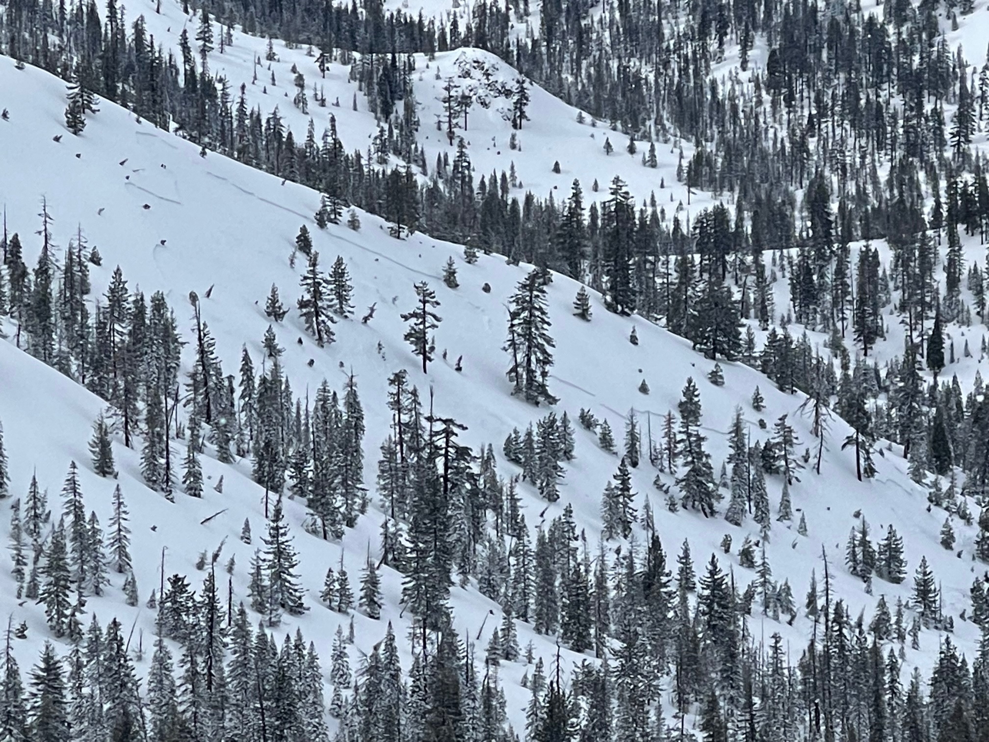
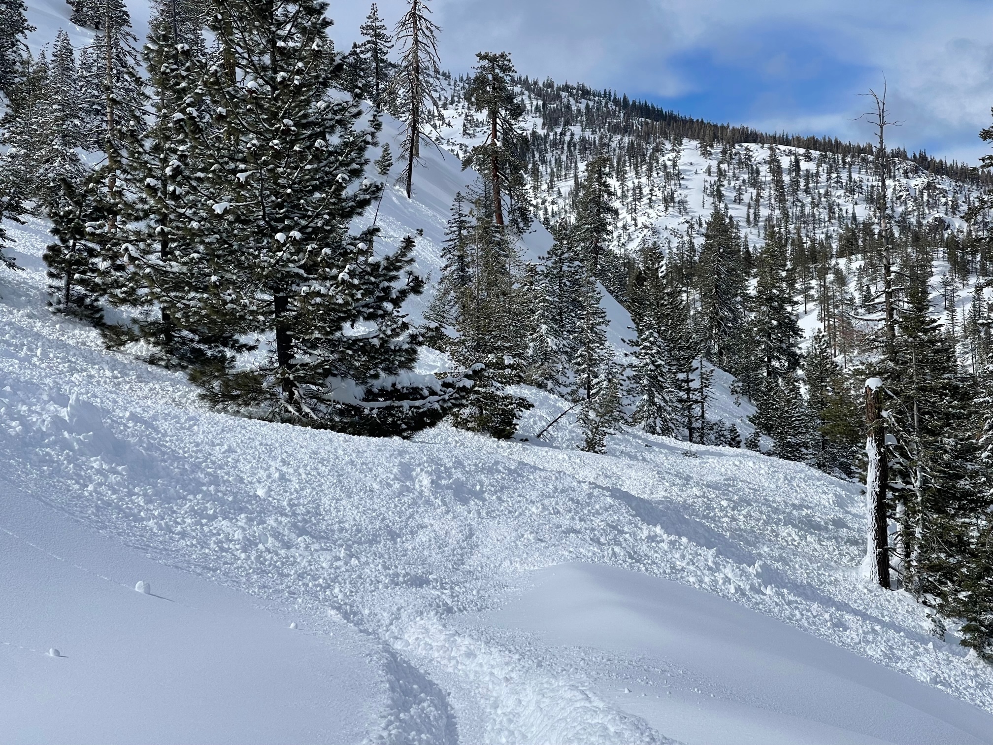
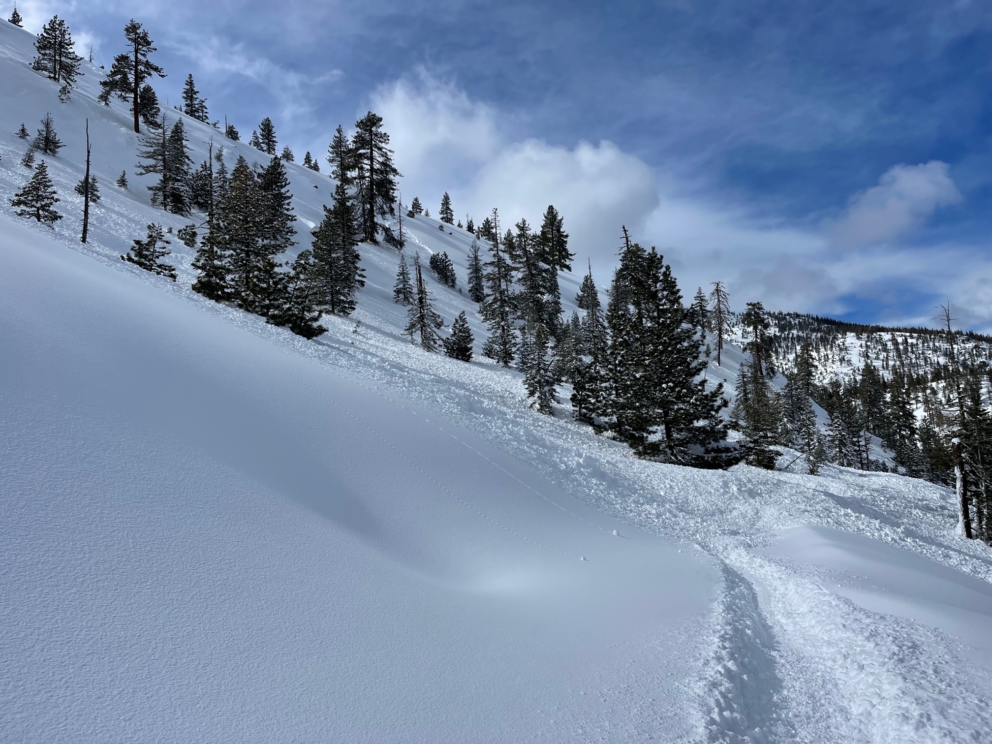
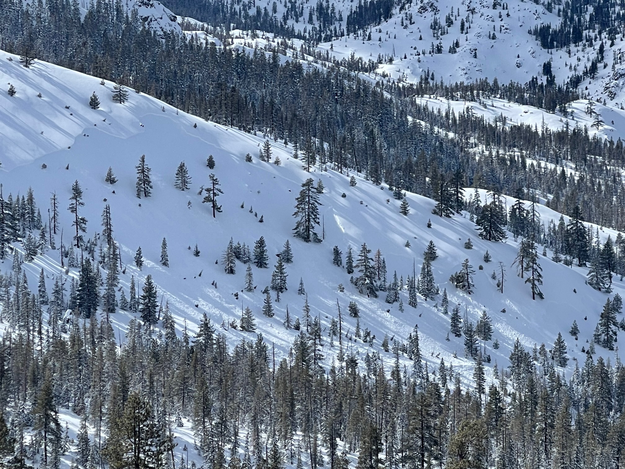
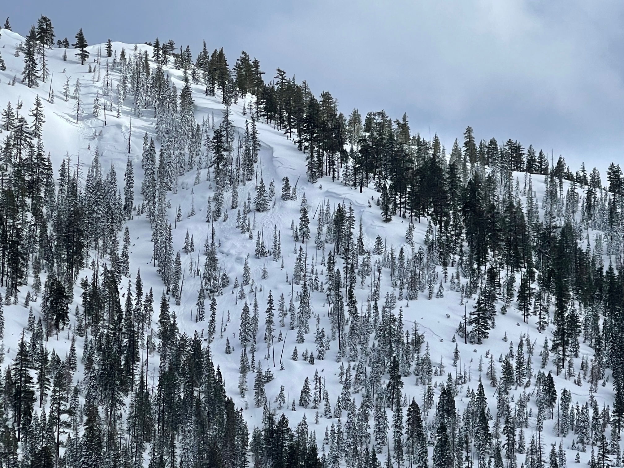
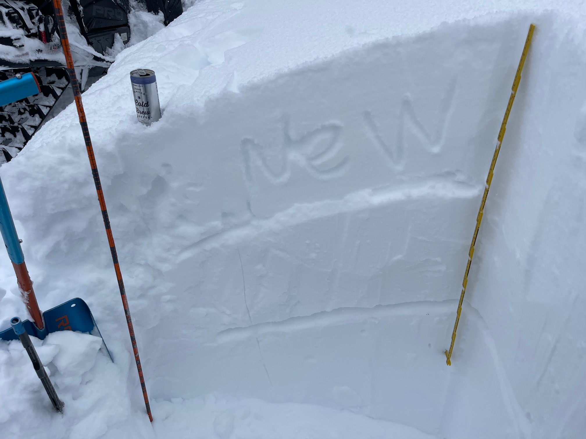
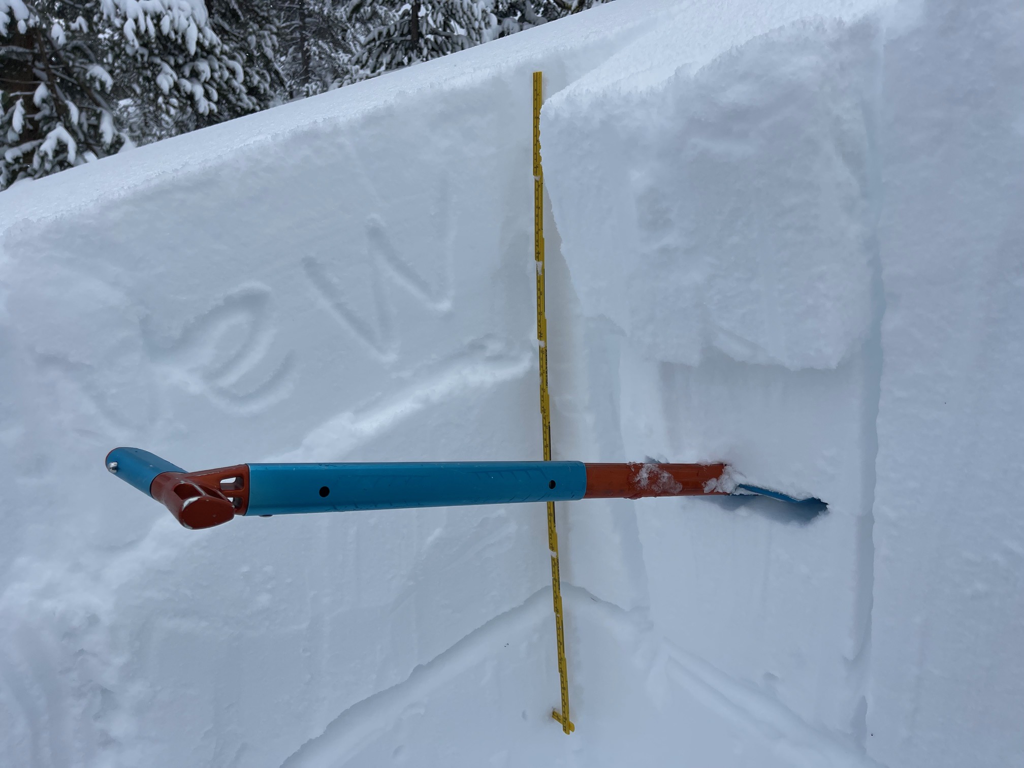
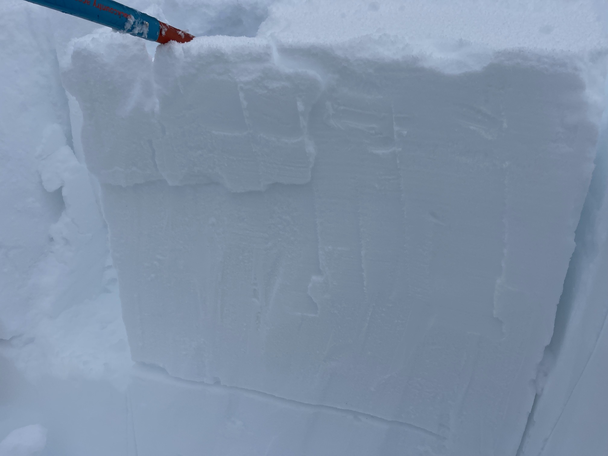
A large avalanche big enough to bury or kill you was snowmobile triggered today in the Parks Creek area of the Eddy Mountains, just above the FS17 road, near Parks snow survey course. This avalanche was remotely triggered while riding the FS 17 road beneath the slope. The crown was estimated 1.5 to 3 feet deep and 600 feet wide. Debris ran over the road and several hundred feet into small trees below. Slope angle of start zone is 35–40 degrees, east and northeast facing in near treeline terrain, 6,600 feet. New snow from the past 24–36 hours, two to three feet deep, sits on a crust with a weak layer of graupel at the interface. Nobody was caught or injured.
Prior to this event, numerous small, test slopes were evaluated in the area with no red flags of danger. A test pit was dug on a similar aspect and elevation. Poor slab characteristics were observed with moderate to hard column test failures at the weak layer (old snow/new snow). Propagation was not observed in tests.
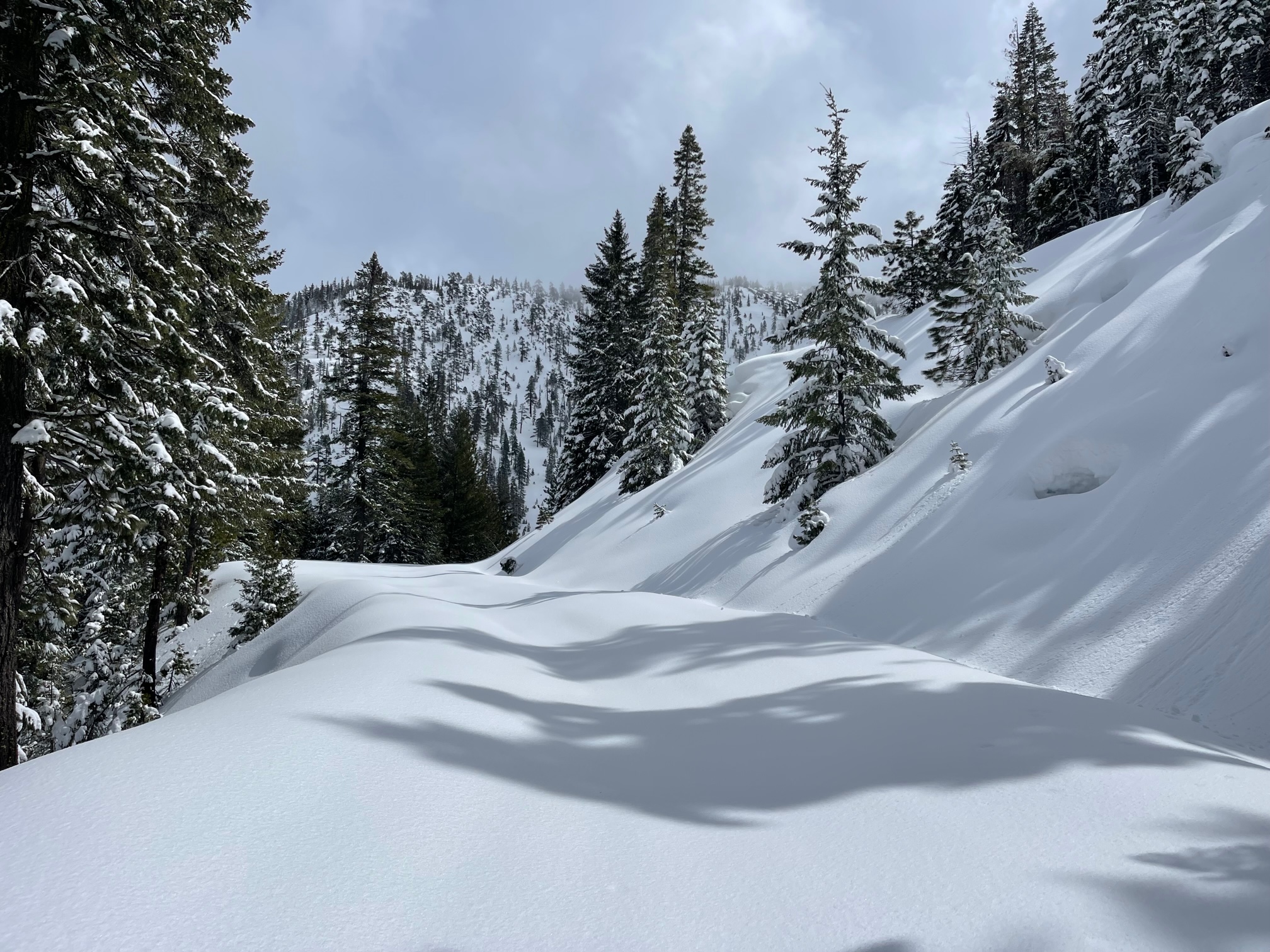
A couple small, natural storm slabs were observed on a west/northwest aspect near 5,600 feet above Tamarack Flat.
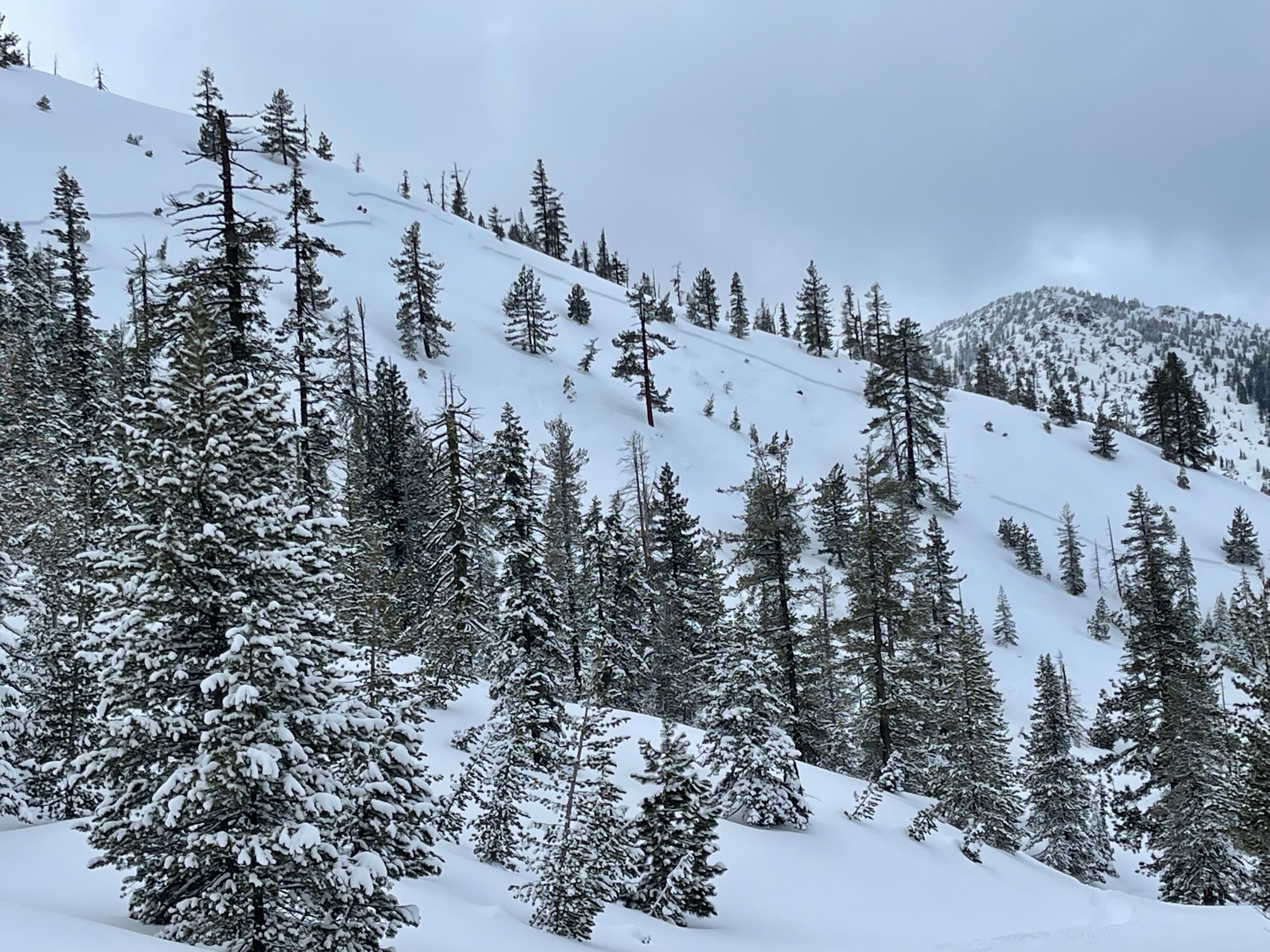
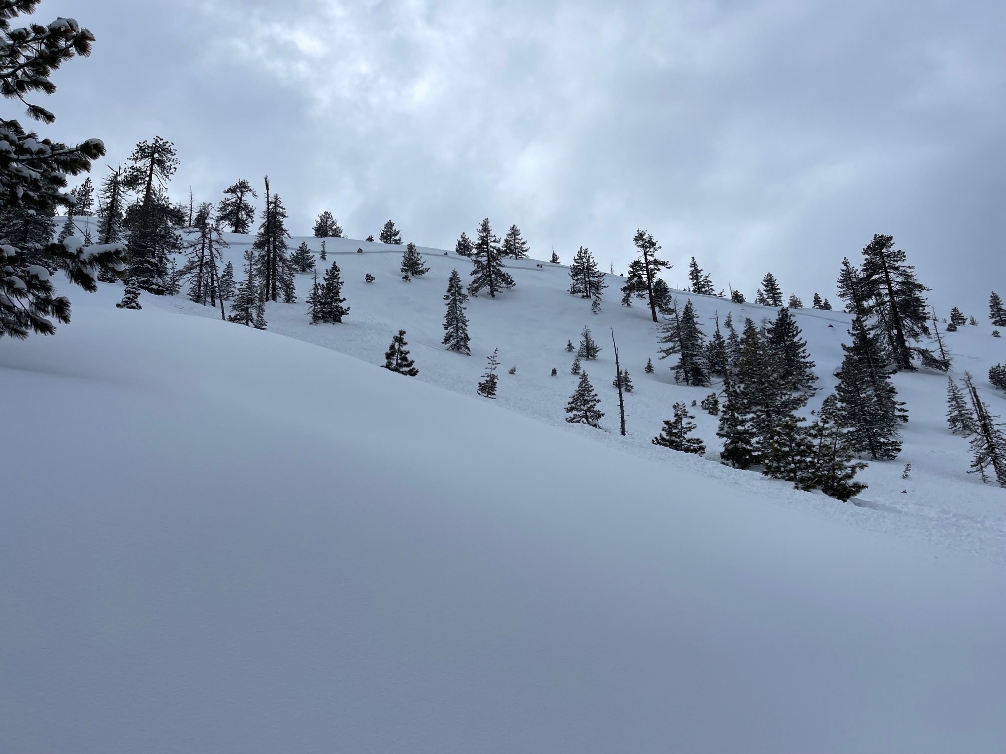
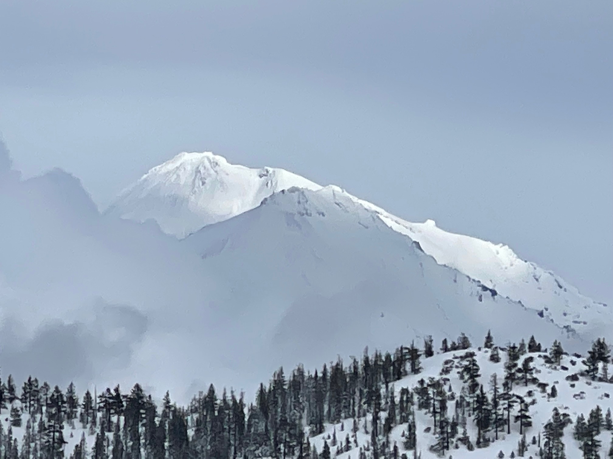
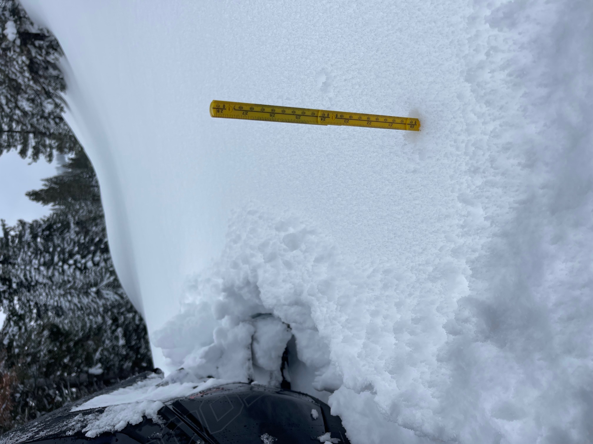
Today hosted broken clouds with very light snow flurries for brief moments. The sun came out for periods of time. Wind was almost dead calm. A slight breeze could be felt out of the northeast over ridges. Evidence of previous wind loading was evident. Cornices and wind loaded slopes were observed. Clockwise, slopes west, north and east all observed wind loading. New snow measures anywhere from 15 to 20 inches above 5,000 feet. New snow amounts rapidly decrease below this elevation. Access/parking is still only about .75 miles up the FS 17 road from Stewart Springs.
DATA CODE: SS-AM-D2-R3