

You are here
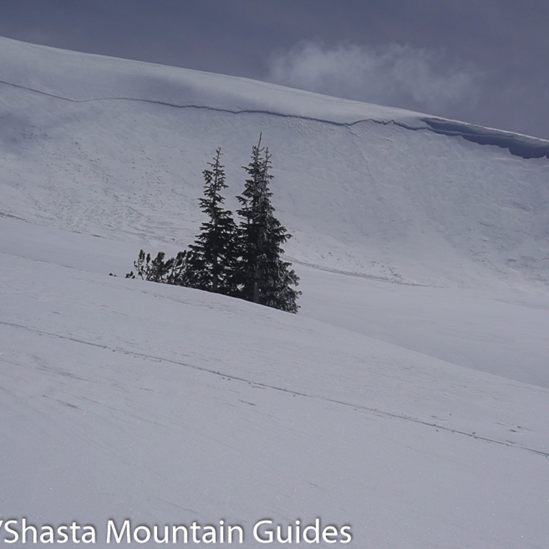
NW Green Butte Ridge
Location Name:
Avalanche GulchRegion:
Mt. ShastaDate and time of avalanche (best estimate if unknown):
Fri, 04/07/2017 - 11:06pmObservation made by:
PublicRed Flags:
Recent avalanche activity
Recent loading by new snow, wind, or rain
Location Map
United States
41° 22' 12" N, 122° 13' 10.794" W
See map: Google Maps
US
Avalanche Observations
Details
Characteristics
Trigger type:
NaturalSlope:
30degreesAspect:
NorthwestElevation:
9 000ft.Terrain:
Above TreelineWeak Layer:
Storm SnowBed Surface:
Storm SnowCrown Height:
1 ftAvalanche Width:
1 000ft.Avalanche Length:
400ft.Weather Observations
Statistics


Naturally triggered avalanche on northwest aspect green butte. Very wide propagation. Sustained wind loading and south winds day prior likely led to slope failure