You are here
06-26-2015-Hotlum/Wintun Snowfield
General Conditions
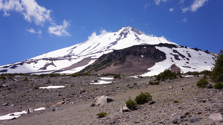
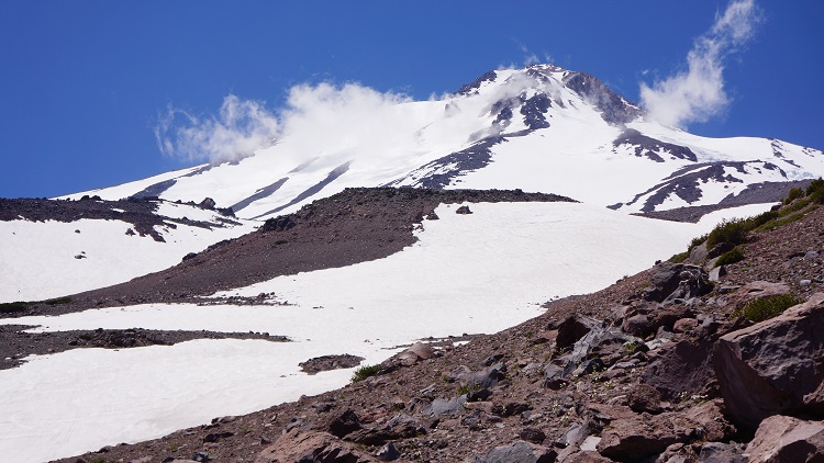
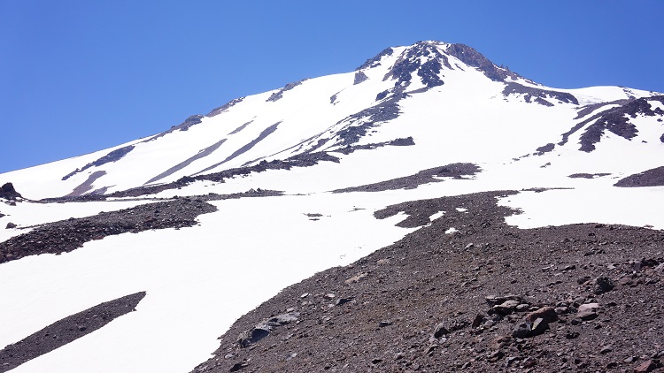
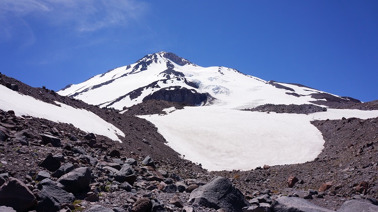
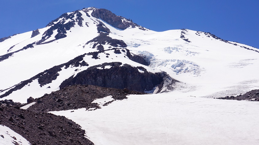
The current conditions have been officially downgraded to "decent" out of the Brewer Creek trailhead and on the "Hotoon" route. Wilderness permits, summit passes and human waste packout bags (inside the bathroom) are availabe for self issue at the TH. Skiing conditions waning but a few adventurous are still finding some fun skiing at mid and upper elevations. One must walk to about 9 - 9,500 feet before consistent snow is found. Below 10,000 feet, the sun cups are forming and skiing not great. It's almost impossible to get the entire route in perfect shape, but somewhere along the way you'll likely find a few good turns still. As with all the east side routes, sun hits them early and the snow will soften quickly. Post holing is a concern and makes for an extremely arduous and demoralizing climb. Get an early start. The warm summer days of summer have allowed for a few wet loose point release slides on this route, easily triggerable on steeper terrain during the warm afternoon hours. Two rather large wet loose slides occurred within the past few weeks triggered by skiers and climbers. One swept a glissading climber down the mountain for several hundred yards resulting in some injuries. The climber was able to self rescue given the poor cell service on that aspect. A beacon, shovel and probe is currently recommended. Even though you may not get fully buried by a loose wet slide, they can certainly sweep you into undesireable terrain and of course, still bury you in a terrain trap. Rockfall has been low but always be on the look out, espectially 11,000 feet and above and as snow melts. Wear a helmet!
This route is pretty straight forward with a couple variations possible near the top. All chutes and variations are filled in as of now. Where most people run into trouble is descending back to their car. It's common to miss your vehicle too far to the south (skiers right). Skiers tend to try and ski as low as possible on the long fingers of snow that extend below treeline...while we don't blame them, this will take one to far to the south. When descending, be sure to make a gradual trend skiers left, aligning yourself between Ash Creek Butte and the large lava flow that abrubtly drops off at around 9,000 feet. You will need to take your skis off to make this traverse. If you put yourself in between these two land forms, you'll nail the descent every time. Again, just remember to trend left at the base of the lava flow at about 9,000 feet, not too far, but by placing yourself in between the two land forms of Ash Creek Butte (pretty obvious butte to the east of the mountain and still has a little snow left on it) and the blocky lava flow.
Water is sometimes found flowing from melting snow fields, but don't count on it. Bring extra fuel to melt snow.