You are here
Brewer Creek, Mount Shasta Trailhead Access Update
General Conditions
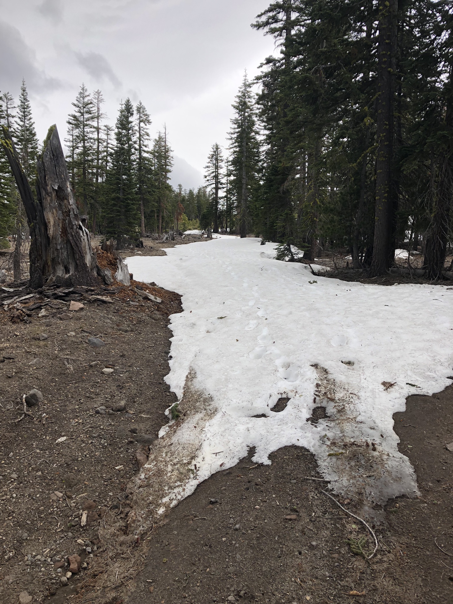
As of 6.15.19, you can drive to 3.4 road miles from the Brewer Creek trailhead. Four-wheel drive is recommended. Cars without are making it to roughly 5 miles from the trailhead. Mileage reflects road miles to trailheads. Often, these distances can be shortened by a more "as the crow flies" path of travel. Proper navigation tools are important for both ascending and returning to your vehicle should you choose to access this trailhead. You can currently drive to 6,800 feet. Patchy snow exists until 7,200 feet. Snow surfaces are smooth and hard above 8,000 feet. Below 8,000 feet small sun cups have formed. Please try to leave no trace by traveling and camping on durable surfaces. Below are some photos from a ski tour up to 10,000 feet.
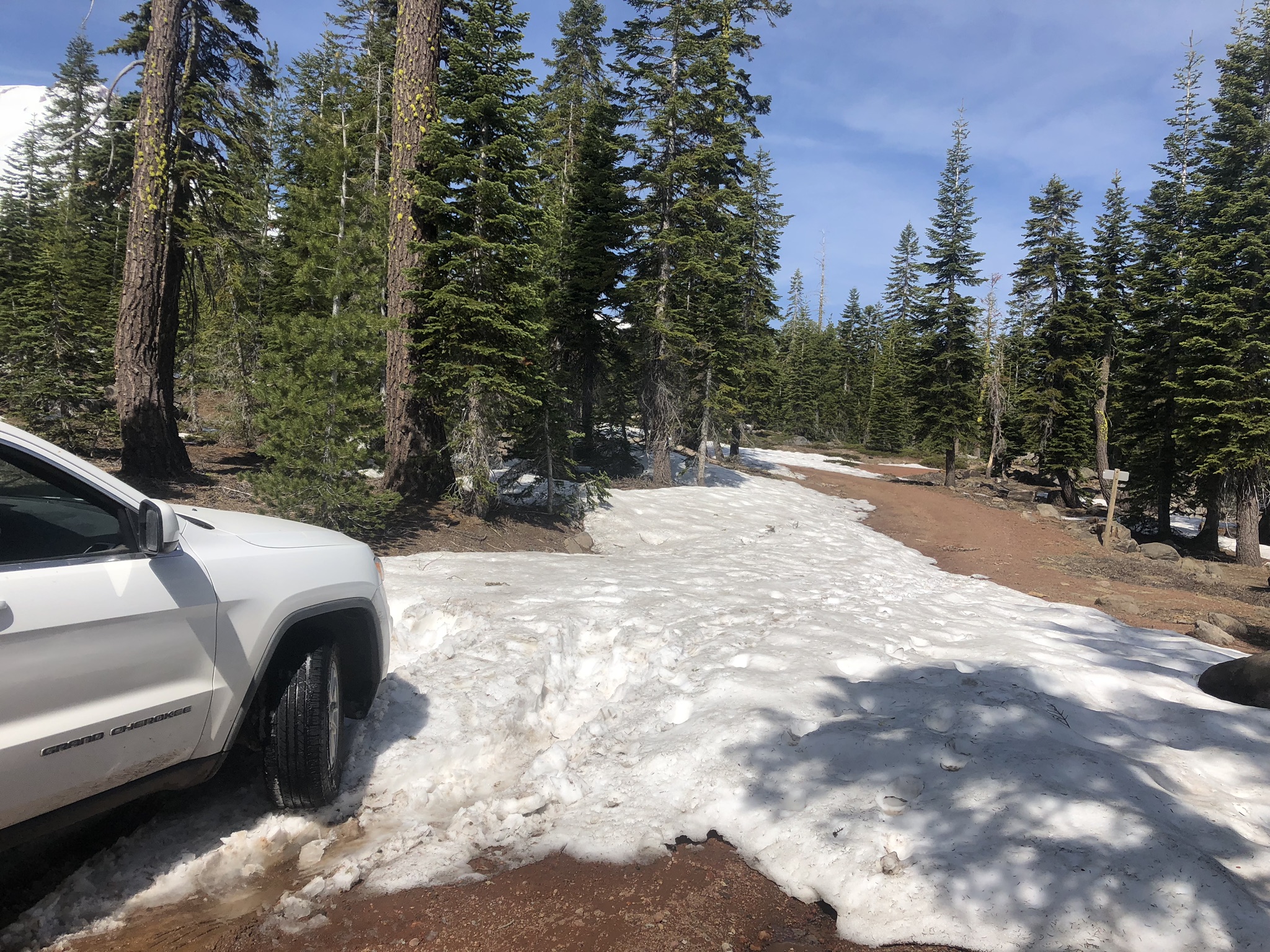
End of the road. 06.15.19 Note: Some parking exists 100 feet below this snow bank but space is limited. Please be respectful.
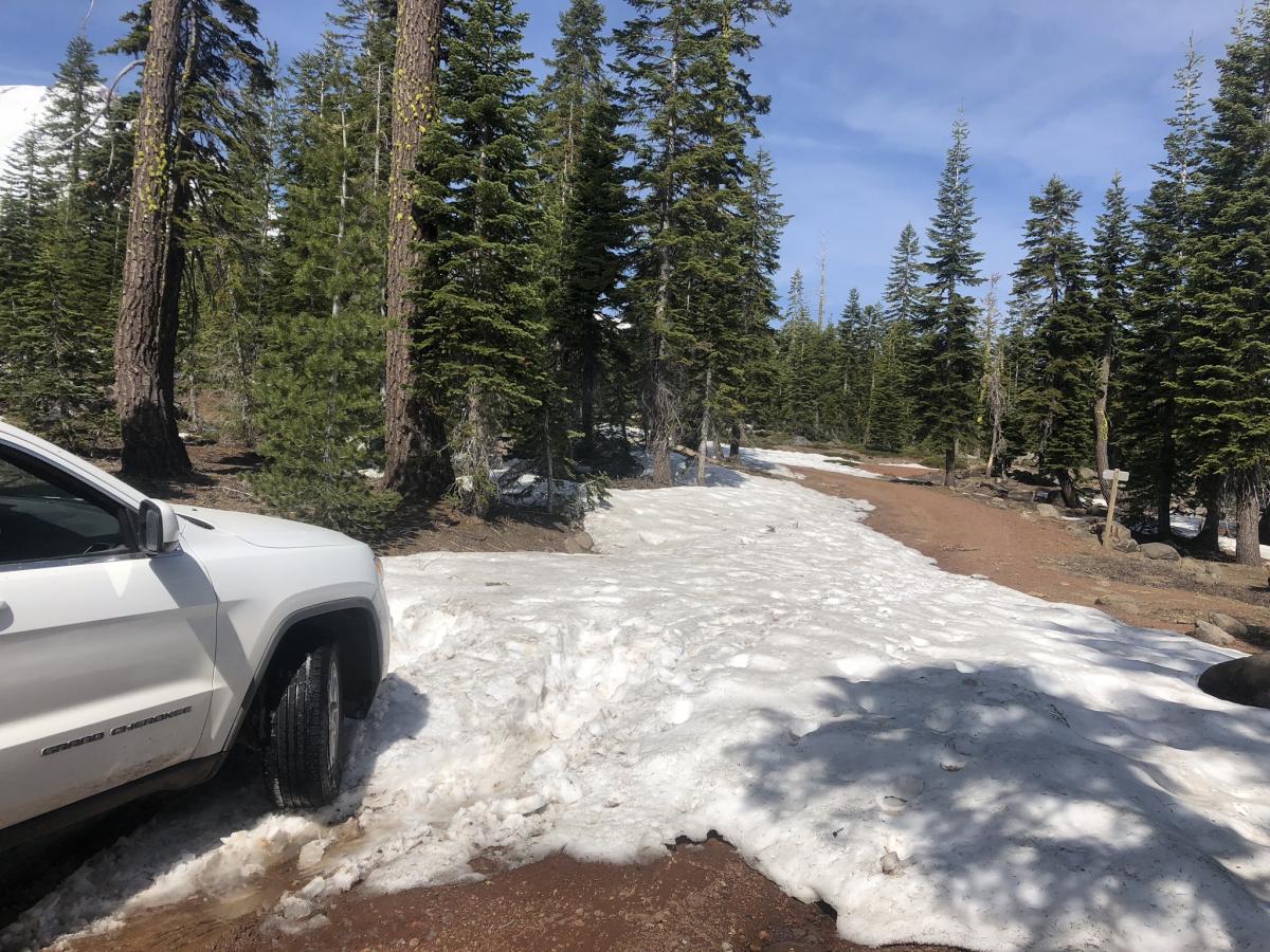
Hike along the road until continuous snow. As of 06.15, this is 0.5 miles.
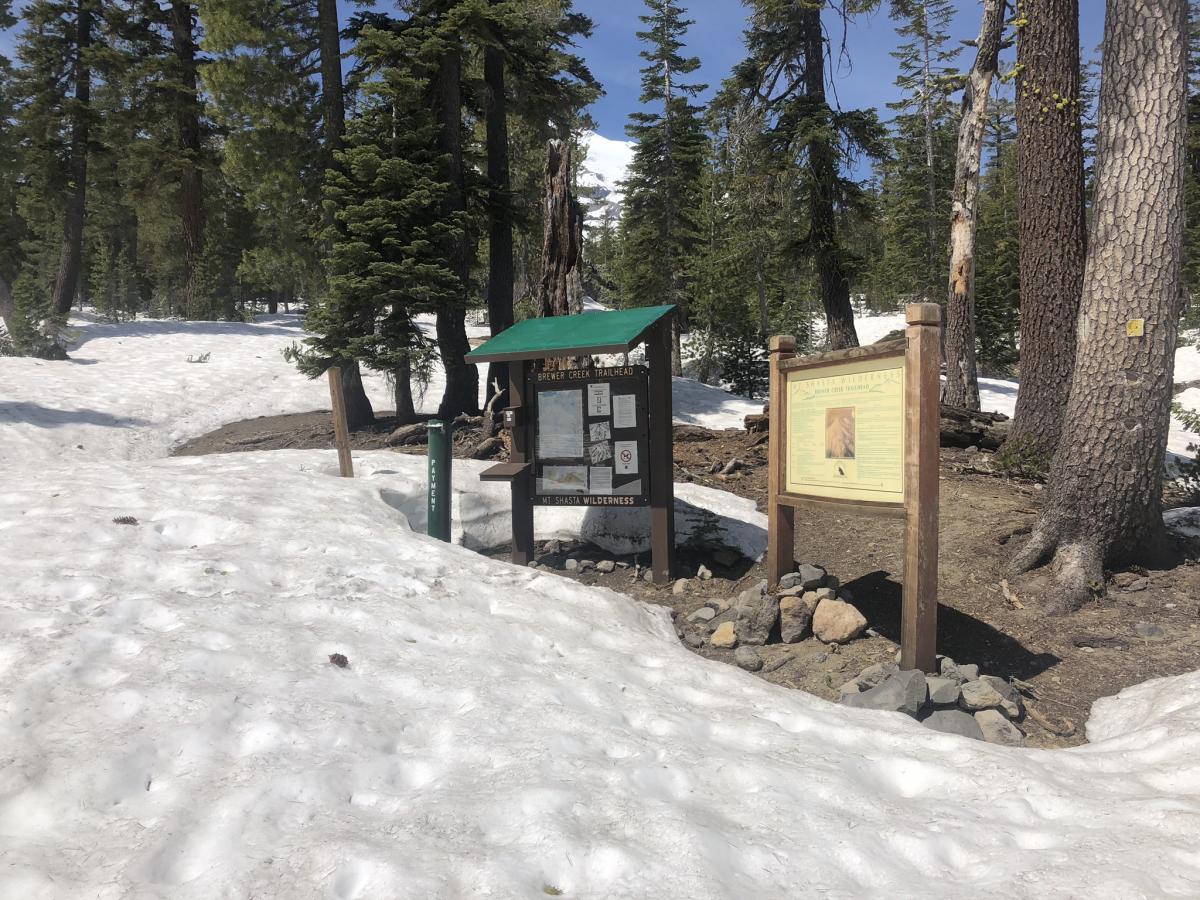
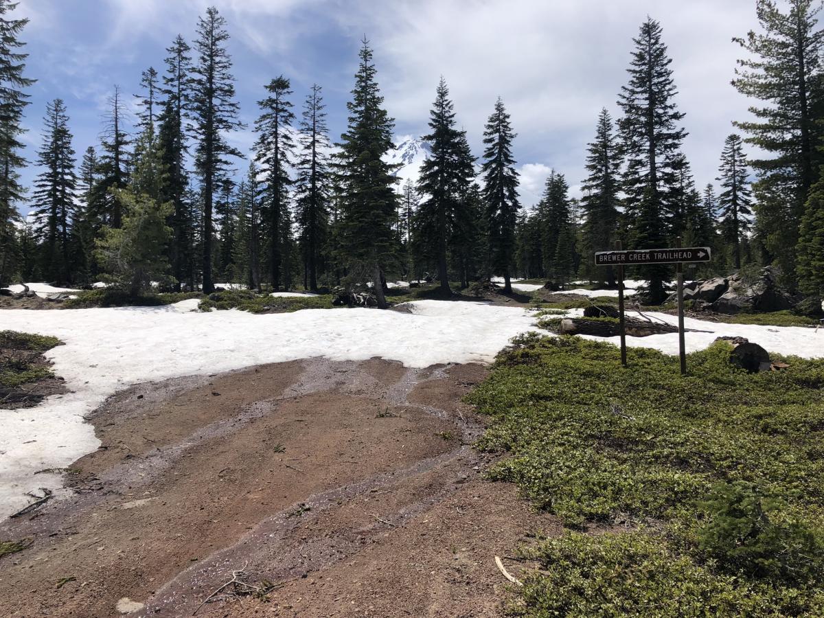
Brewer trailhead opening soon.
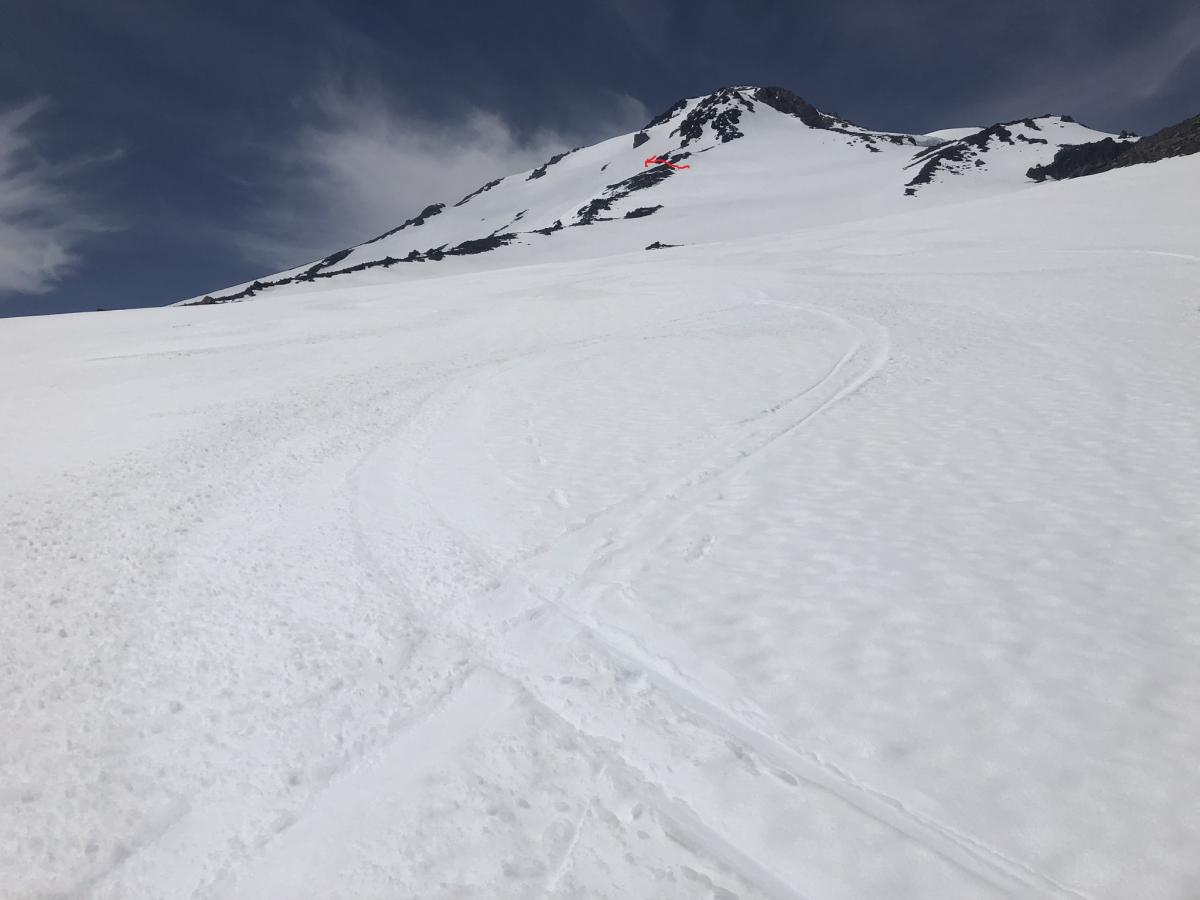
Looking up Holum/Bolum Ridge. Note: Red arrow shows the best route to avoid steep glaciated terrain.