You are here
Clear Creek Route via CC Trailhead
General Conditions
7-18-20 Clear Creek Route Update, Tips and Tricks
As we enter late season climbing conditions, the Clear Creek route becomes a reasonable option for climbing Mount Shasta. Much of the information you read will state that this route is the easiest on the mountain, and while that is true, don't underestimate the undertaking. Rangers have responded to many a search and rescue incidents on this route including fatalities due to slips and falls and climbers becoming lost. As always, plan ahead and prepare properly.
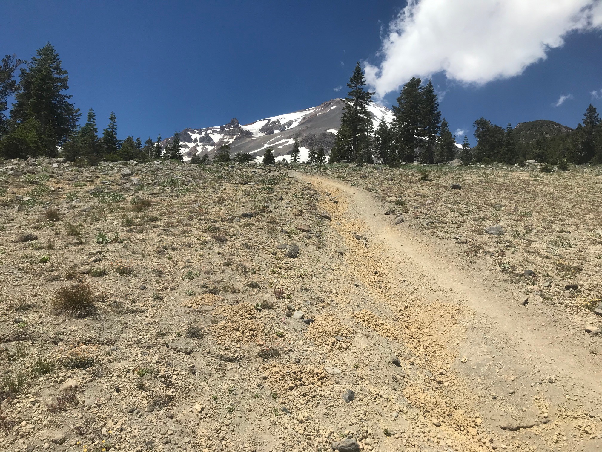
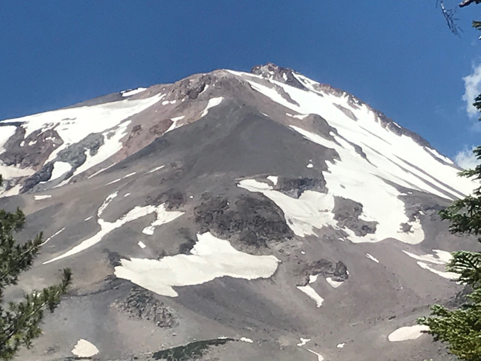
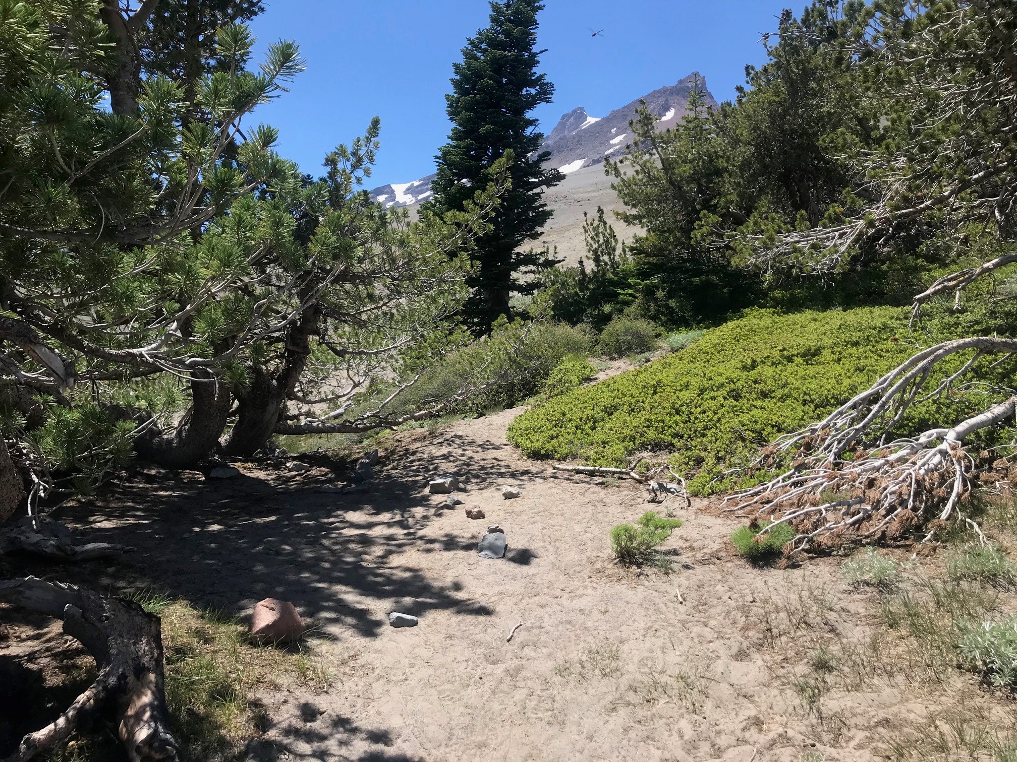
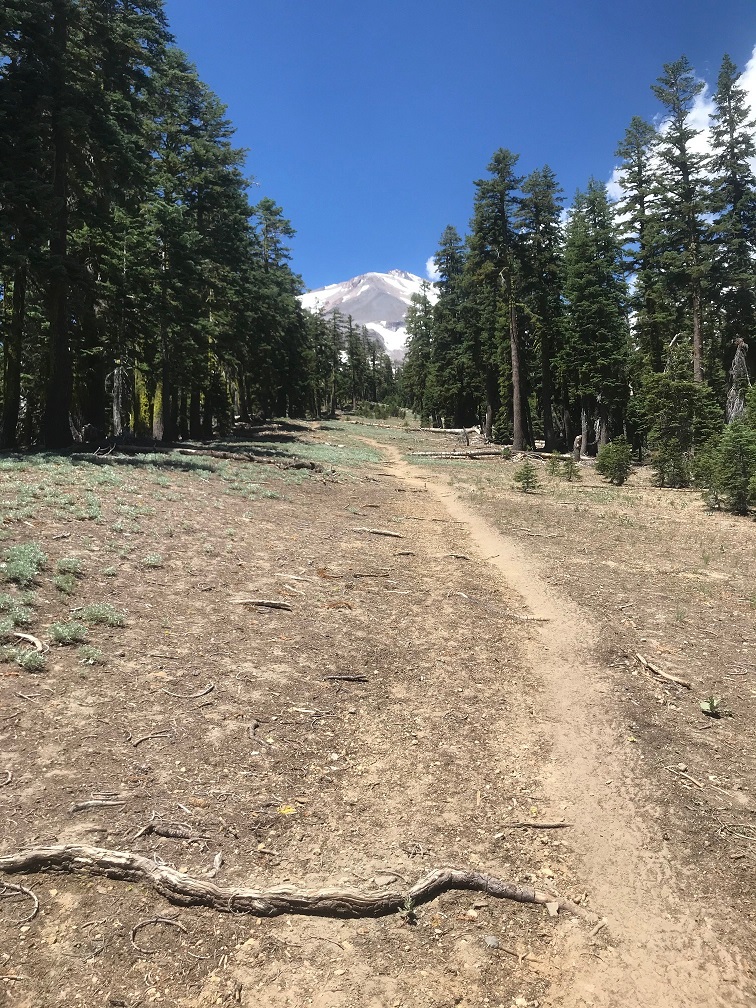
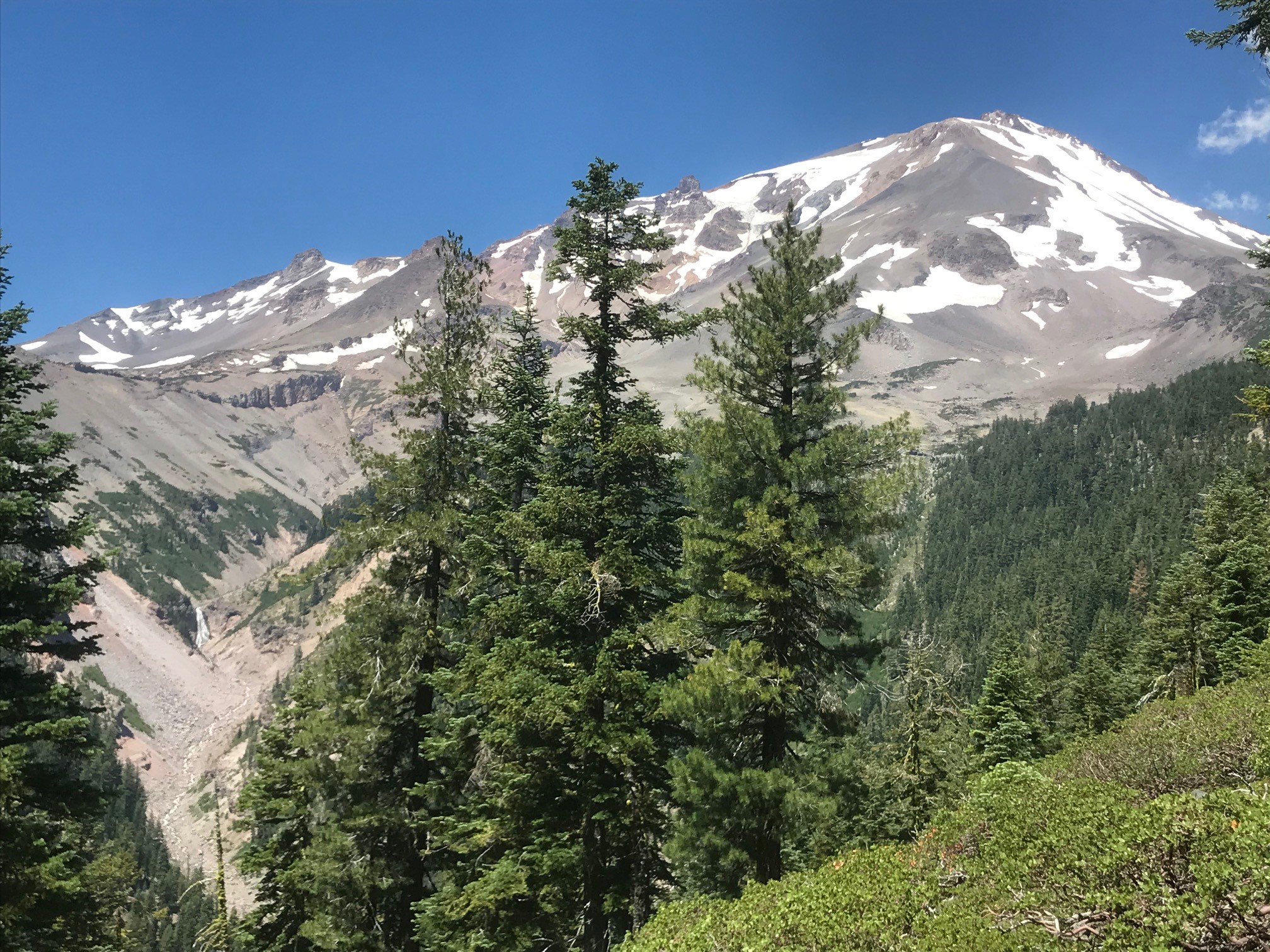
This route from the trailhead to the summit is approximately 6 miles and 7,000 vertical feet of elevation gain, one way. There is no official trail to the summit, however a "climbers trail" has been pounded in quite well over the years and one can fairly easily follow this. There are no signs or directional markers however. Some areas of the route will host a braided trail system when free of snow, so know where you are going. Many ask if an ice axe and crampons is necessary. Snow cover dictates the need for these mountaineering tools and at this time, the standard route is free of snow and thus an ice axe and crampons is not necessary, GRANTED YOU STAY ON THE ROUTE. There are a myriad of route variations that can take you onto snow and then, yes-- an ice axe and crampons may be necessary. Always bring and wear a helmet.
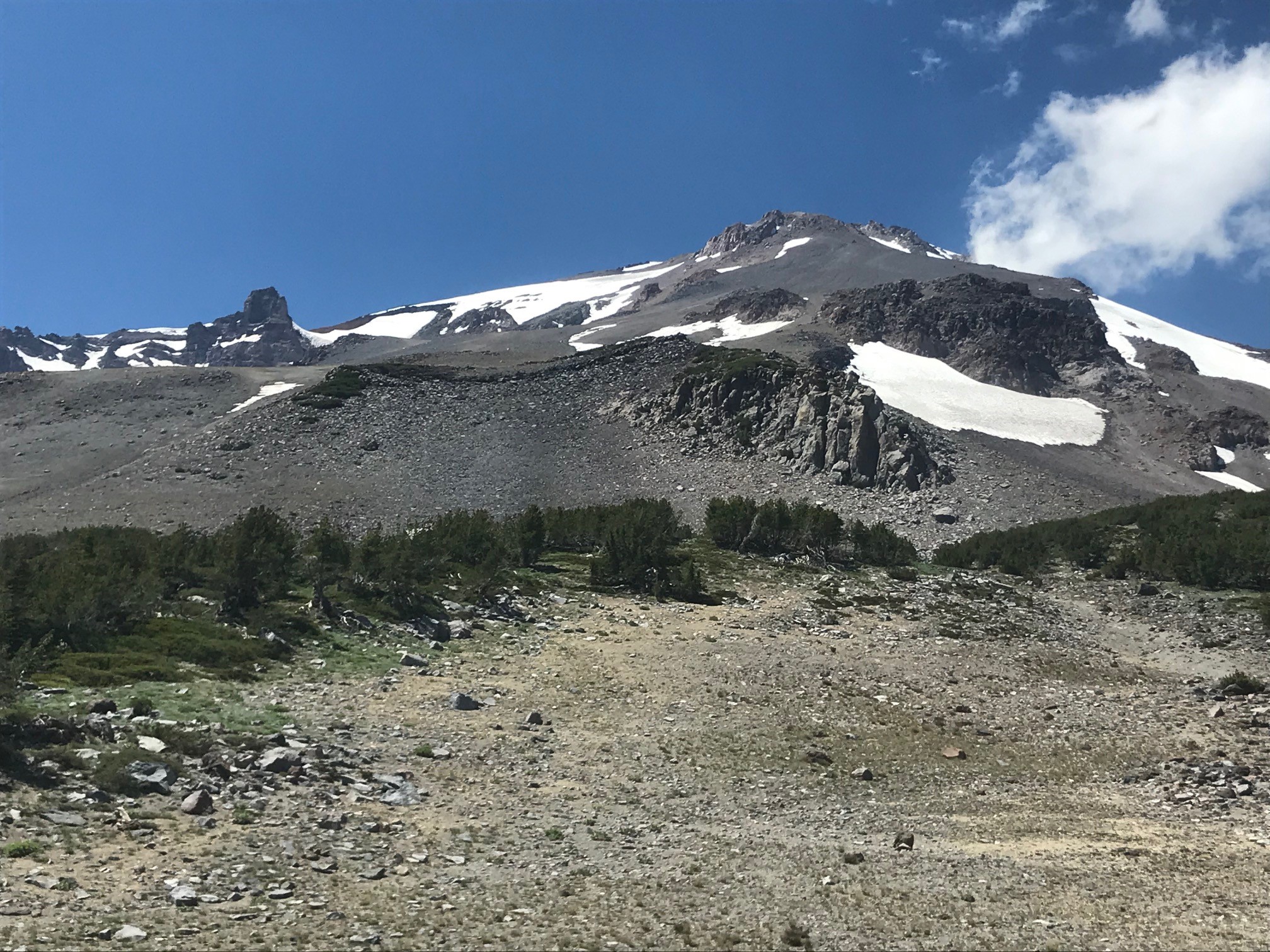
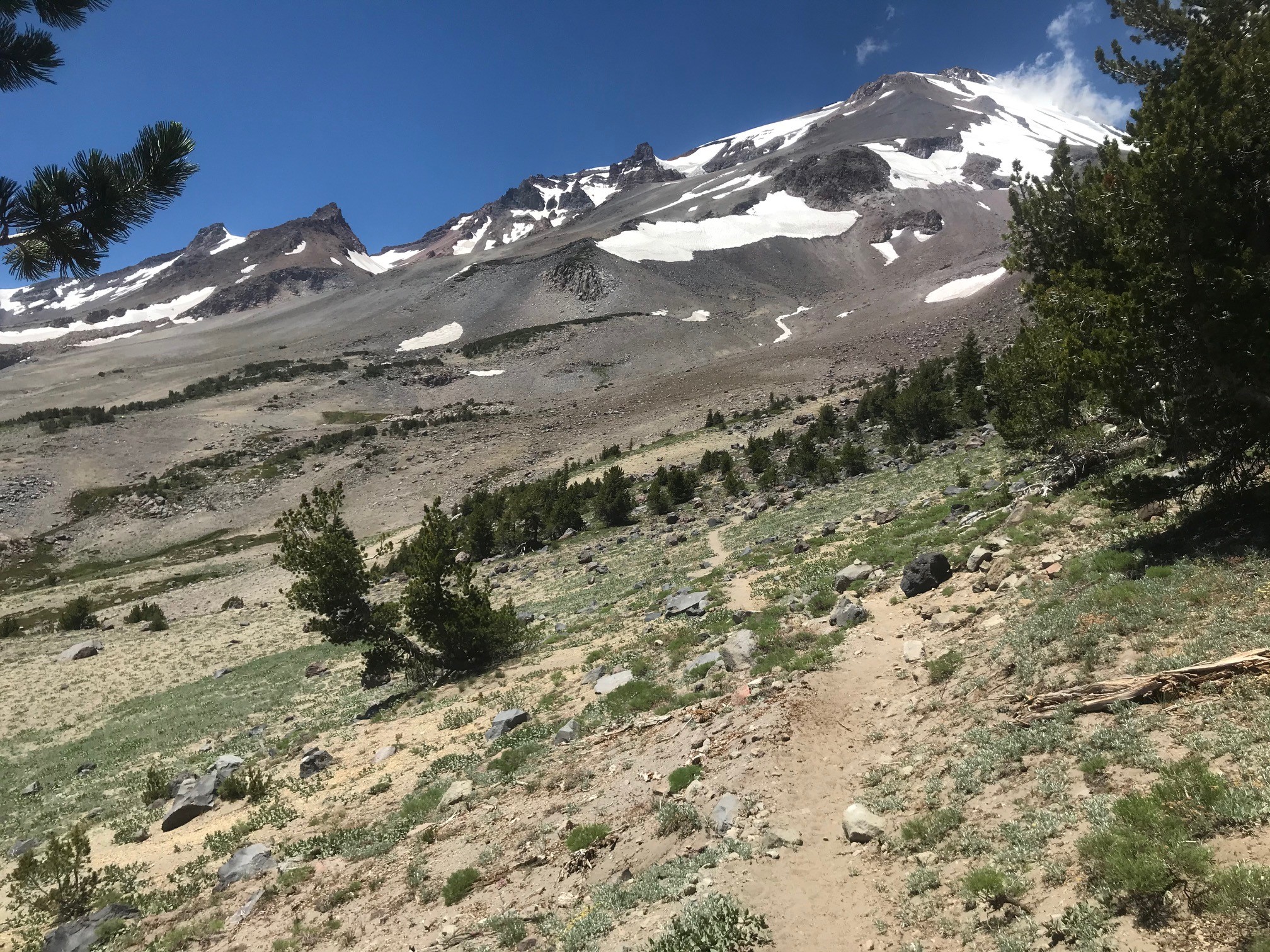
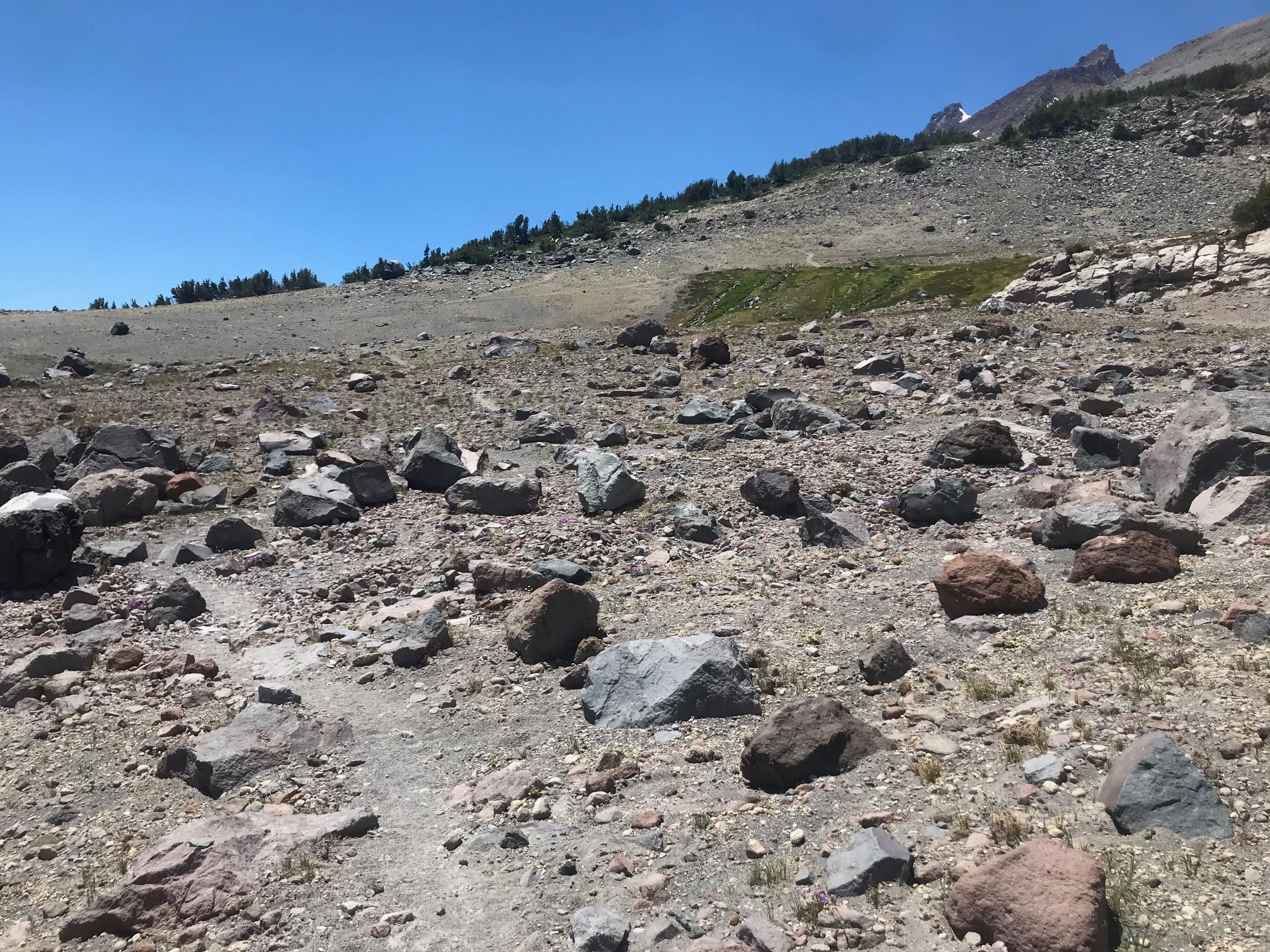
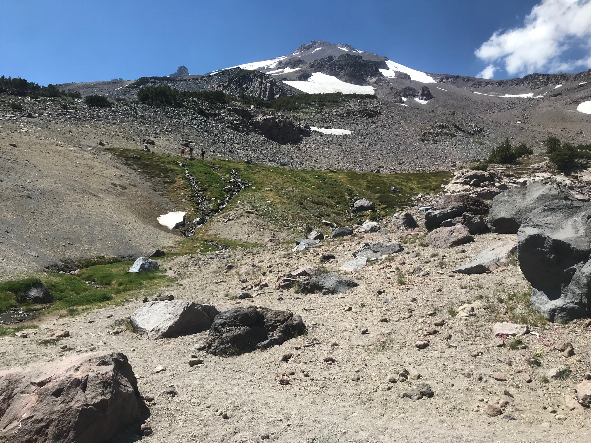
The general nature of this route is loose scree and rock and low angle. Trekking poles are a nice addition to have and are recommended. Above "mushroom rock" is the crux of the climb. The climbers trail most often used is directly above mushroom rock. This "headwall" section involves some loose rock and 3rd and 4th class scrambling. Be careful through here, especially on your descent. Don't knock rocks down onto climbers below.
Most climbers camp near the spring. The trail that begins from the trailhead will take you directly to the spring. Please remember it is required to camp at least 100 feet away from any body of water in the MS Wilderness. Be mindful of the fragile vegetation around the water source that only has a few months to grow. Your boot multiplied by thousands of others can do some serious damage. Travel on durable surfaces. The water from the spring head is not tested, but rangers drink it often without incident. Numerous, wonderful camping/tent sites exists around the spring area in the small trees. Find an existing site, please try not to create new ones.
Search and rescue incidents on this route are usually one of the two: climbers becoming lost or a slip and fall on snow. Several have asked recently if it's possible to glissade on select snow patches to speed up the descent. Our answer is yes it's possible but we DO NOT recommend it. Most of the snow fields currently terminate into rock boulders. These snow slopes are NO FALL ZONES. One MUST understand the consequences of a fall on snow that will eject you into rocks...this is exactly the case with a fatality incident several years back. Other climbers have become lost in poor visibility conditions, missing the trail at the springs and descending into Mud Creek Canyon. Climbers have also become lost near the summit and descended toward to Konwakiton and/or Wintun Glaciers. Both, no bueno. On a clear day and with any sort of situational awareness, you shouldn't have a problem.
We want everyone to know that keeping Mount Shasta Wilderness clean and pristine is one of the climbing ranger's highest priority. We can't do this alone. Please, please pick up your trash and packout your human waste. It's required. Be mindful of staying on established trails, don't create new campsites, keep off fragile vegetation. It takes a village! While your one boot print might not have a visible effect, it's the thousands of others that eventually give way to lasting resource damage.
Your safety is also important to us. Make good decisions, be honest with yourself and your knowledge, skills and ability. It's great to test the limits and challenge one self, we get that, but know when it's time to turn around. The mountain will always be there.
Summit passes, wilderness permits and human waste packout bags (wag bags) are available 24/7 for self-issue at the trailhead. Directions on how to fill these out are listed. Rangers will check. Get your necessary items.
The road to the trailhead is a bit rough. Two wheel drive cars can make it, but a higher clearance SUV or truck is better. All road junctures are signed, so you shouldn't have a problem getting there.
If you have any further questions, please feel free to call the climbing rangers directly at 530-926-9614. We are not in the office much but will call you back asap. Thanks and have a great trip.