You are here
General Climbing & Trailhead Access Update

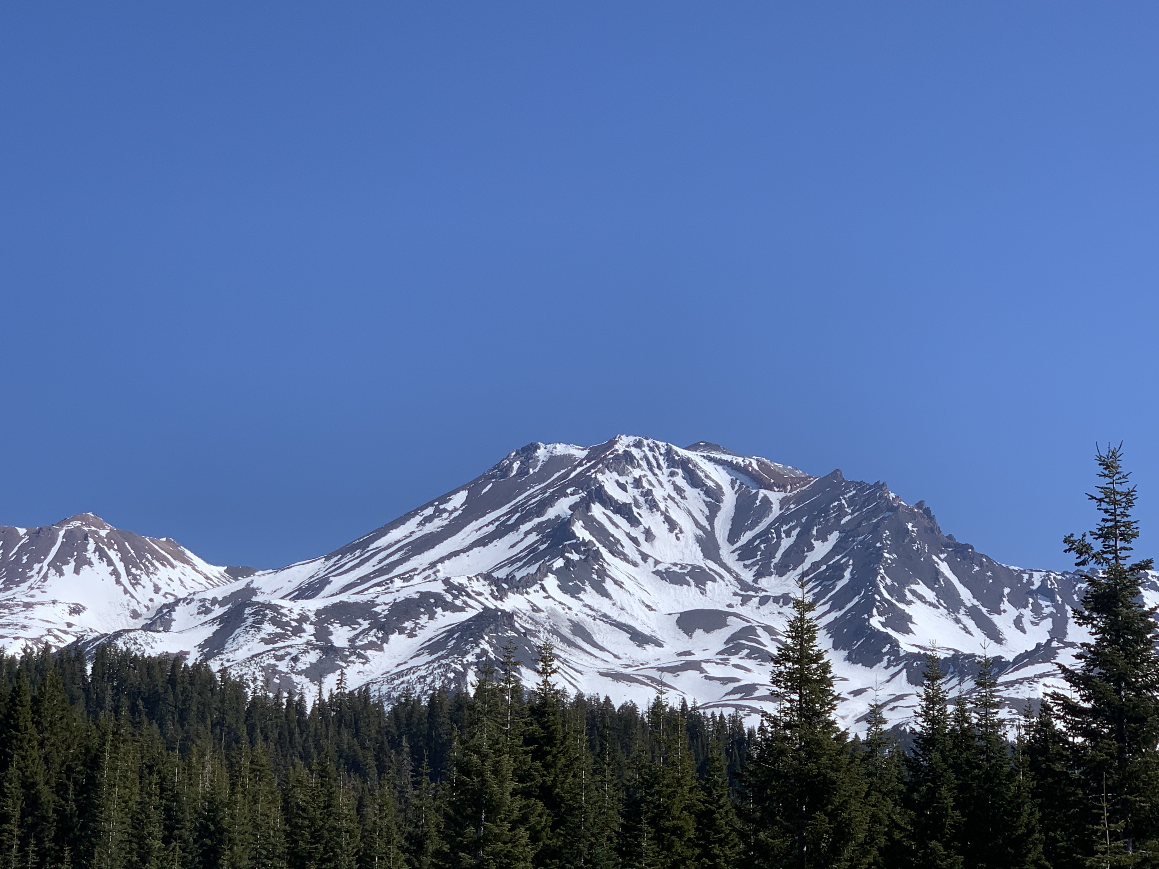
General Conditions
Trailhead Access Update - 4.15.21
Aside from being able to drive to Bunny Flat, Northgate trailhead is the most reasonable approach to other wilderness trailheads at this time. As of today, there is 2.9 miles of snow covered roads to the trailhead. The trailhead is not stocked with permits/passes/wag bags, so please get them at the ranger station in Mt. Shasta or, at The Fifth Season shop in Mt. Shasta City.
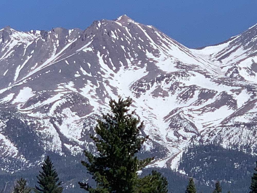
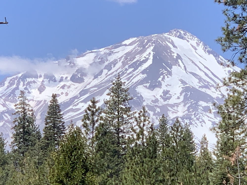
All glacier routes on the north side of the mountain have large sections of blue ice scattered about. You can see the blue hue from miles away, glistening in the sunlight. While post-holing is certainly not an issue, rockfall and slips and falls that are impossible to self-arrest are definitely a risk to think about. Your choices are to rope up and use the appropriate protection, or don't fall. Crevasse and bergshrund features are open. Any remaining bridged cracks are likely thin and weak. We typically don't see as much rockfall on the north side, but firm snow/ice surfaces and the sheer amount of exposed rock is intimidating. No word yet if water is running. Whitney Creek is not flowing at the highway 97 crossing, but not always a good indicator. Water is likely not running at the typical Hotlum/Bolam base camp.
Clear Creek trailhead is still a ways out. You can only drive about 2.2 miles up the dirt road off the paved Pilgrim Creek road. This leaves about 5.8 miles of snow covered roads. The Clear Creek route has thin strips of somewhat continuous snow, with large sections of rock too. If access was better now, this route wouldn't be too bad for a climb.
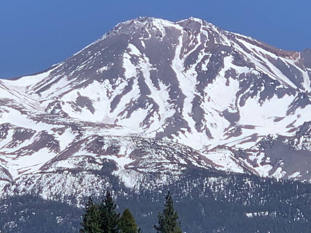
You can see the top portion of the popular spring climb and ski, the Hotlum/Wintun route. These snow fields (and glacier) are some of the biggest sections of continuous snow on the mountain right now, but also the most difficult to access. A snowmobile would help, but down low can be tough when snow patches are followed by long sections of dirt road. No reports from any missions over there.
A good transition to talk about Brewer Creek trailhead. One can drive not much further than last update, which still leaves 15ish road miles to the TH via the Hwy 89 approach. One could drive in from Hwy 97, but even then you'll have double-digit miles to cover to get to the TH. Yes, you could cut it shorter, but that's still a long poop just to get started on another 6 miles and 7,000 vert to the top of that rock pile you just stared at for hours. If you're dying to get over to the Hotlum/Wintun, the easiest would probably be to go up via Northgate and then traverse over once above treeline.
At any rate, some of the best skiing on the mountain might be over on the east side Hotlum/Wintun area, but a stymied access situation will keep it for only the more intrepid. Even from afar, shiny patches of snow/ice can be seen, which doesn't make us think of endless fields of spring corn snow.
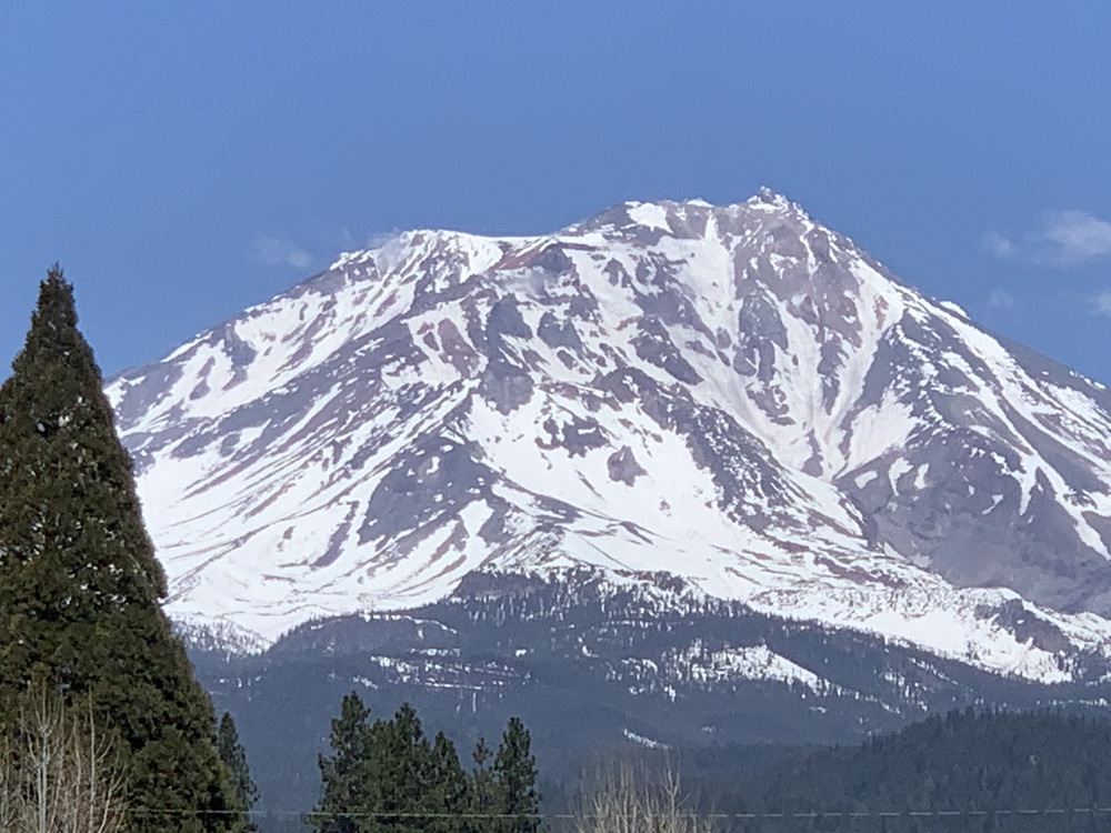
Routes on the south and west sides, accessed from the Bunny Flat trailhead are about the only game on the mountain. That said, the game is riskier this year and just looking at the pictures will tell you that. Good climbing conditions means snow on the mountain. For snow cover to look as it does now in April, well...that's pretty bad, and it won't improve. We've been a broken record around here warning people about conditions and had one near miss rockfall injury already. Our goal is not to discourage adventures, but to provide information to help keep climbers safe.
The lower half of the mountain via most routes is fairly benign. Above ~10,000 feet, the mountain steepens. This is the "bowling alley" and where the majority of rockfall and slip/fall injuries occur. For the Avalanche Gulch route, were talking about the Helen Lake to Redbanks section. One can follow continuous snow left of The Heart and left of Redbanks, but you are exposed to rockfall the entire way. The right of The Heart and right of The Redbanks is a second alternative, also exposed to rockfall. Note that the left of The Heart/Redbanks route is a bit steeper than going right of Heart.
There is no running water on the mountain that we know of at this time. There are no services at Bunny Flat. The toilets at Horse Camp are closed. There is no trail to the summit. Plan ahead and prepare properly, carry navigation tools, know how to use an ice axe and crampons, wear a helmet!