You are here
Hotlum Wintun Snowfield

General Conditions
May 18 - Hotlum Wintun Snowfield Observation
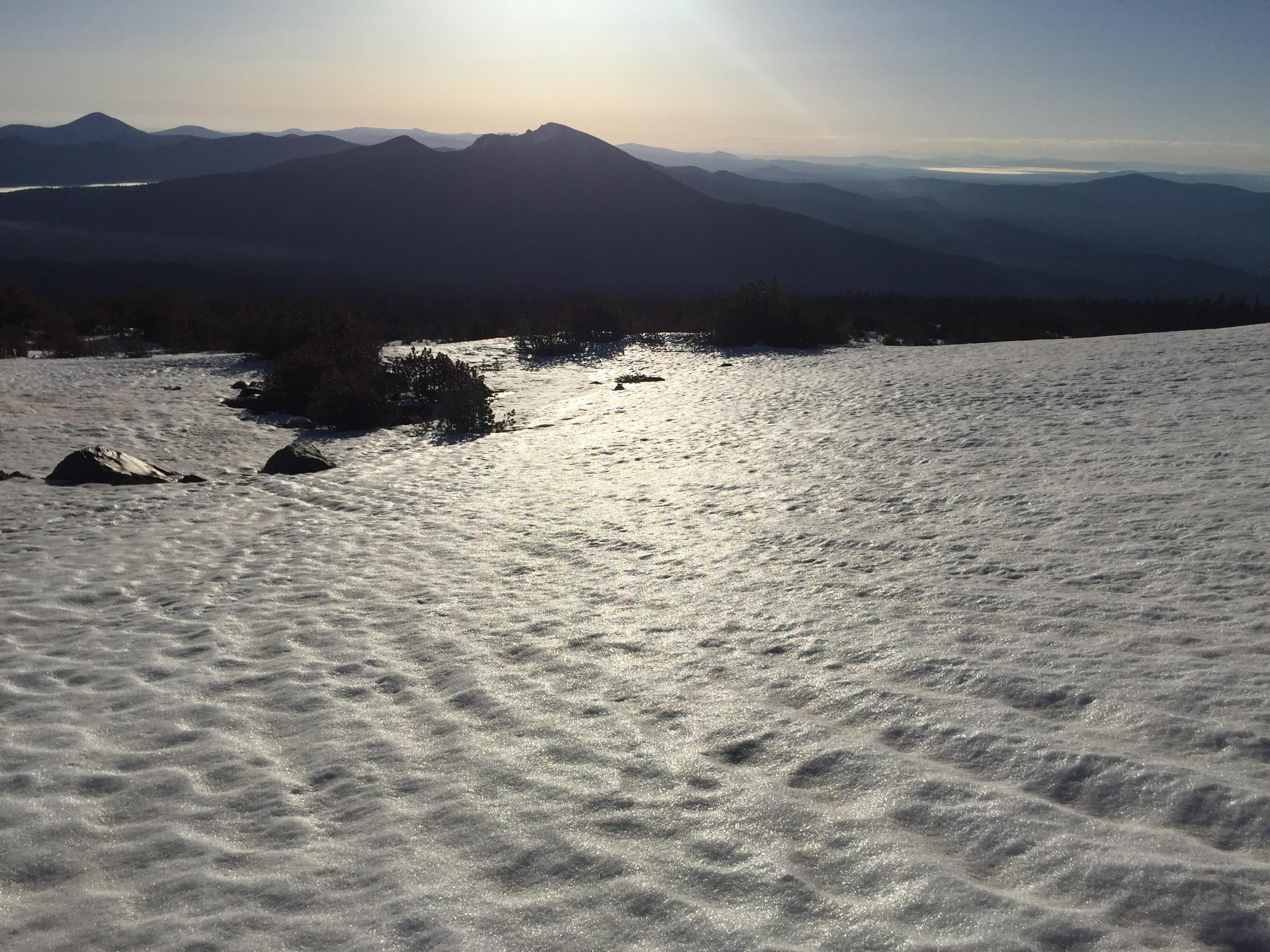
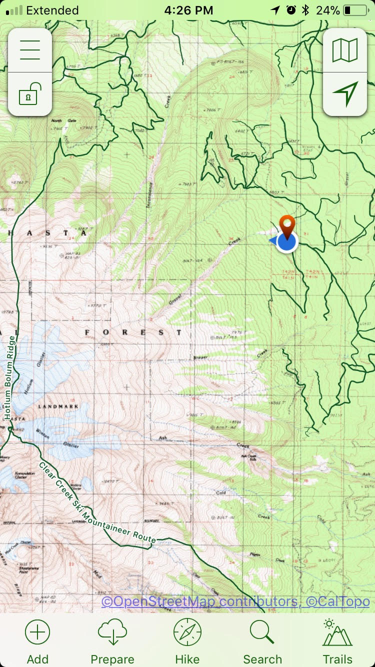
I followed the Climbing Ranger's advice in the May 16 Trailhead Status Update by hiking southwest. As of May 18, this advice is still accurate and worked well. The elevation I parked my truck at was 7100 feet. I took a mental note of this elevation so I could find my truck again on the hike out using the altimeter on my watch. I also took a way point on my phone. See attached photo.
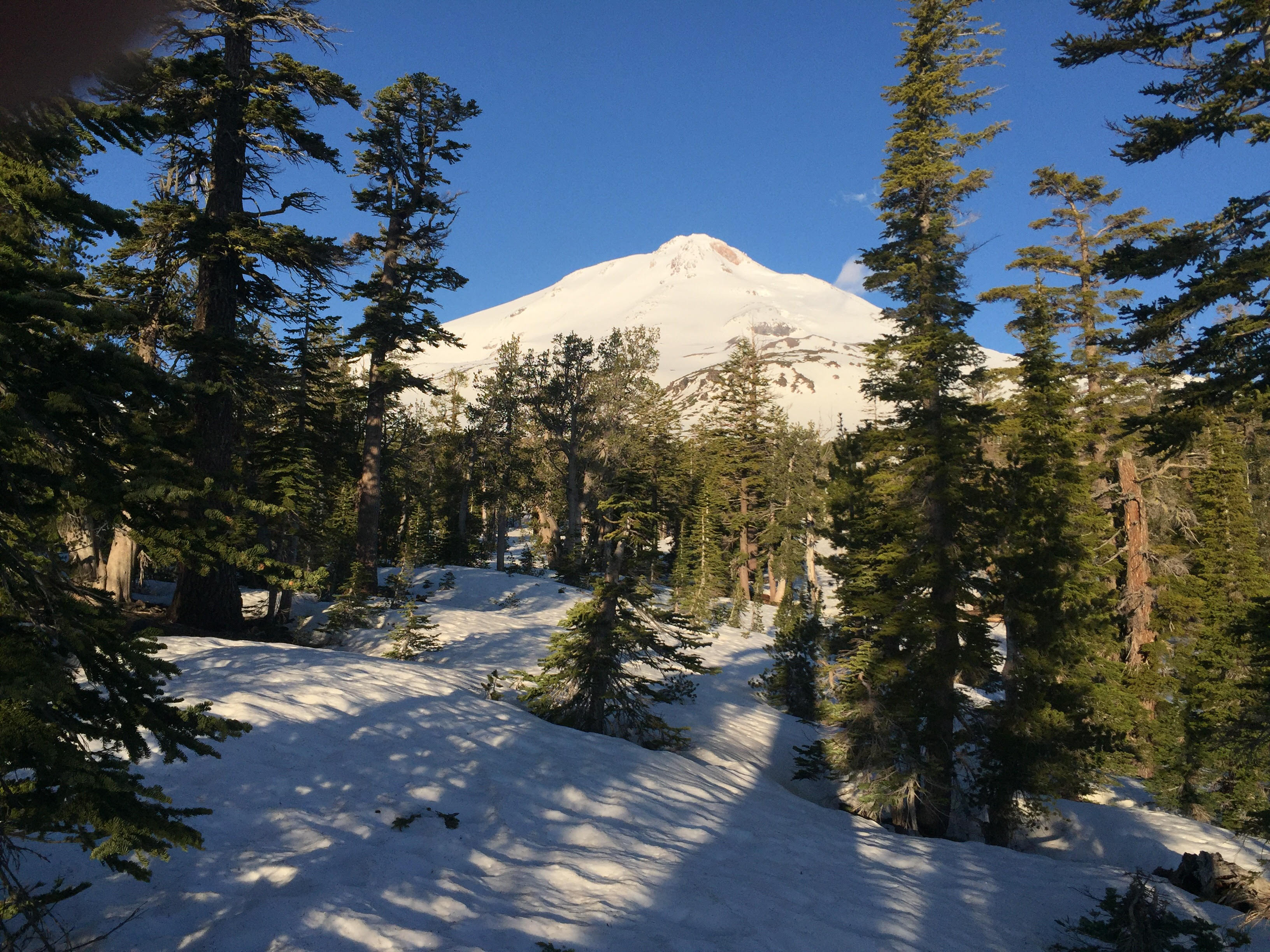
I hiked with my skis on my backpack for a couple hundred meters along the road (left, traveling south) across mixed patches of dirt and snow before leaving the road and traveling cross country, trending up hill in a southwest direction. At approx 7600 feet, I encountered continuous snow and was able to transition to climbing skins.
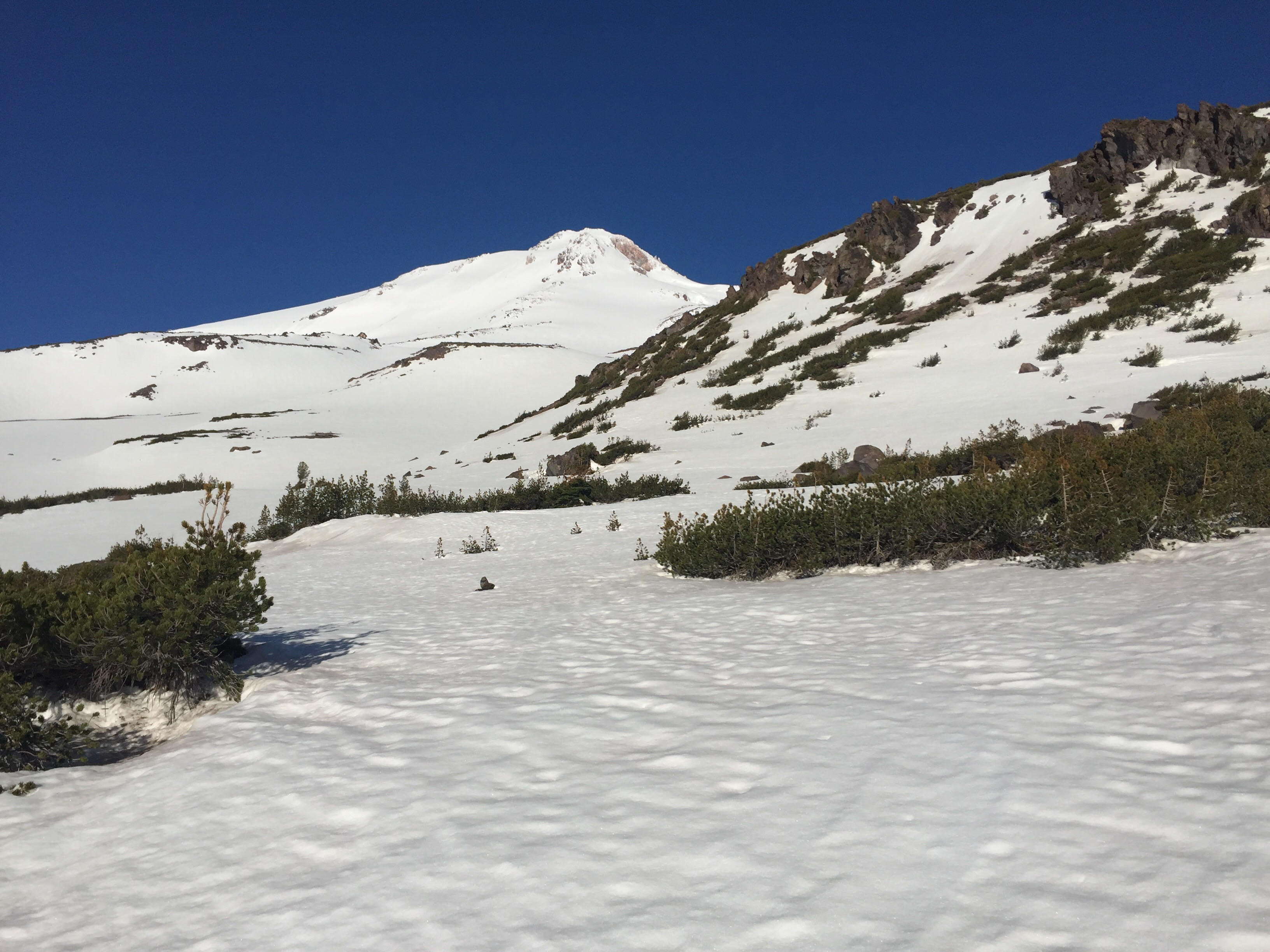
The freezing level has been hovering around 9000 feet. Between 8000 and 9000 feet, there is a weak overnight refreeze occurring despite overnight lows remaining above freezing. As one moves upwards in elevation, the frozen snow surface becomes progressively more defined. Ski crampons were useful at 9000 feet and above.
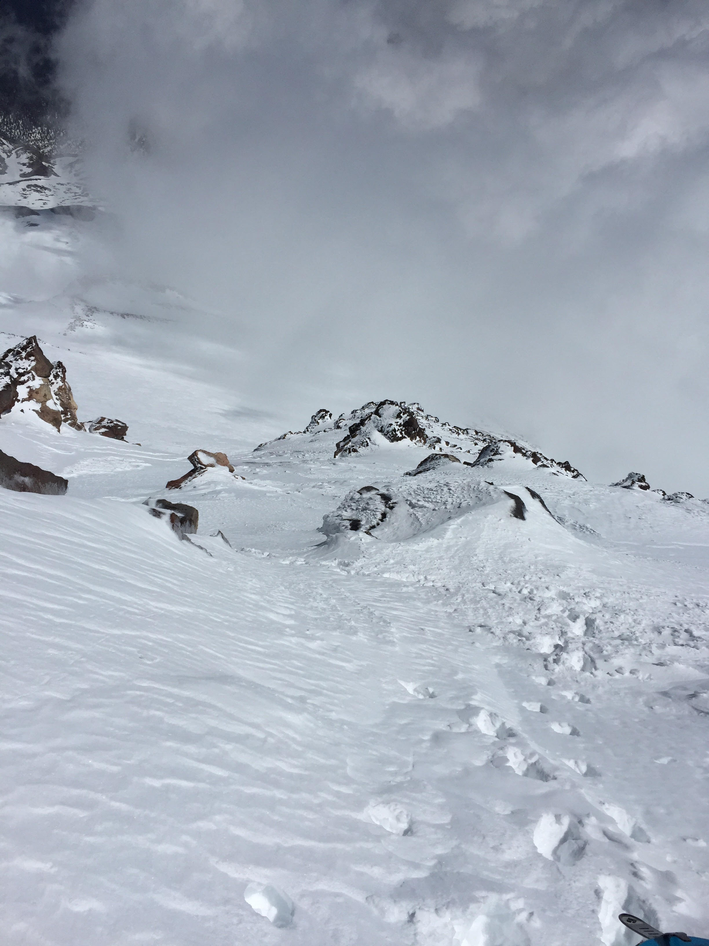
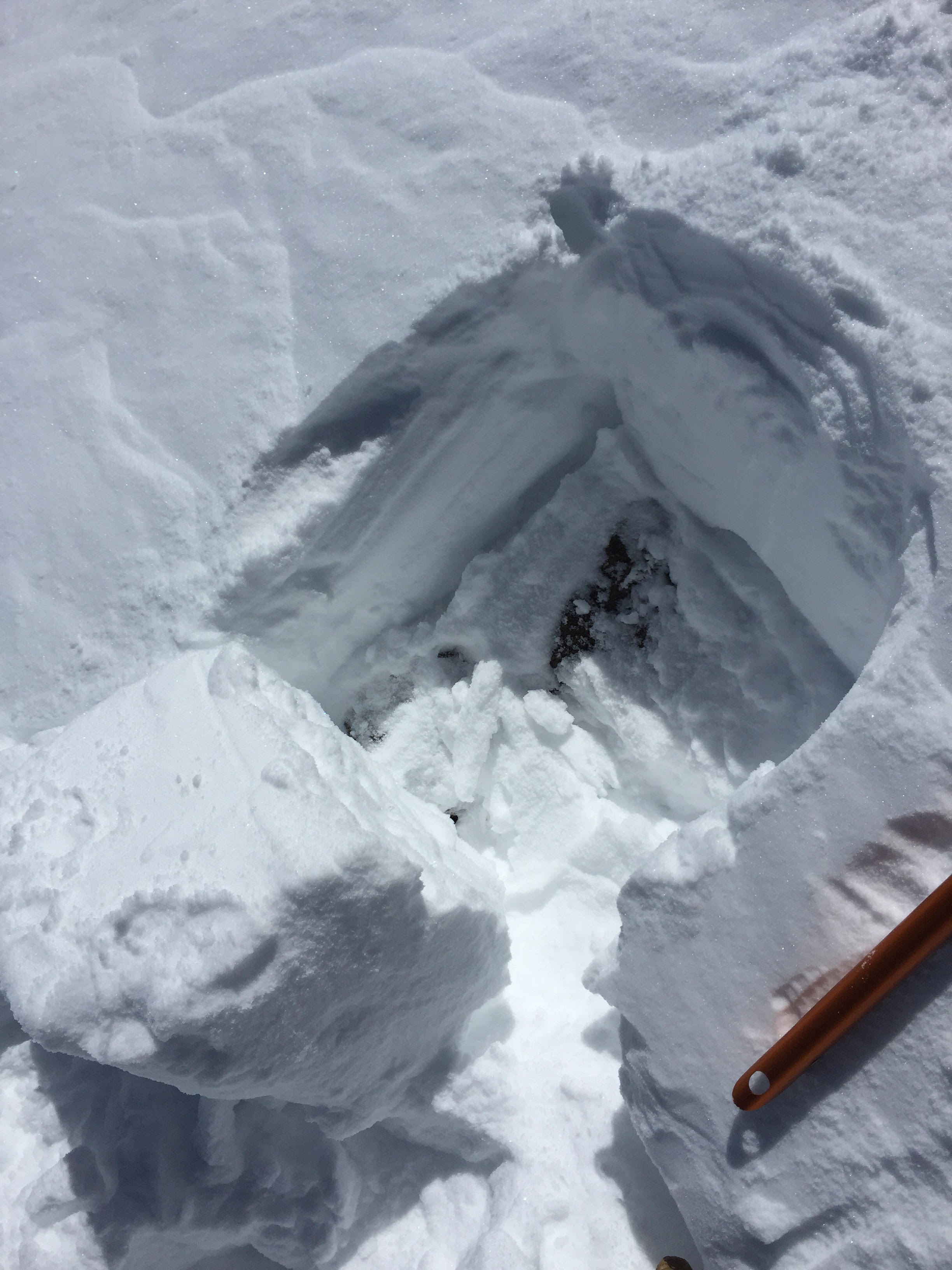
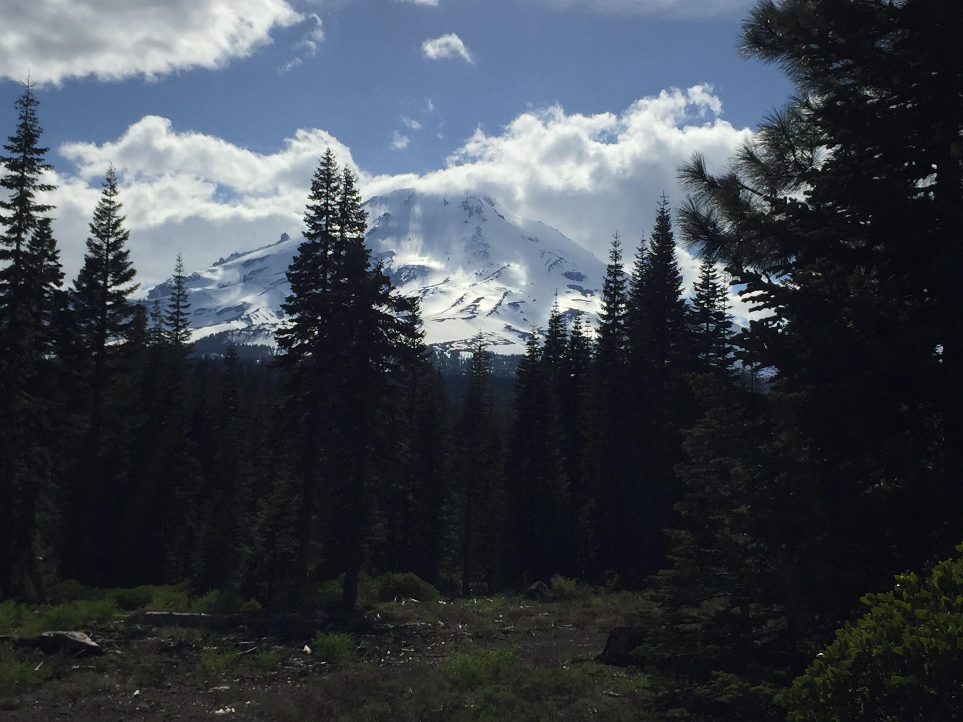
Over the past 3 days, the Mt Shasta area has seen strong convective thunder storms and at times, torrential rains. Today, May 18, was the first sunny day since those storms began. Beginning at 9,000 feet, 3-5cm of new snow was observed in depressions, gullies, and lee slopes. At 12,000 feet, new storm snow consistently covers the old snow surface in most areas, 10cm deep. Above 13,000 feet, there is an abundance of new snow. Wind slab on lee aspects. 20cm of soft slab in the Hotlum Gully (climber's left). I suspect there will be good skiing conditions in this area for the next couple days.
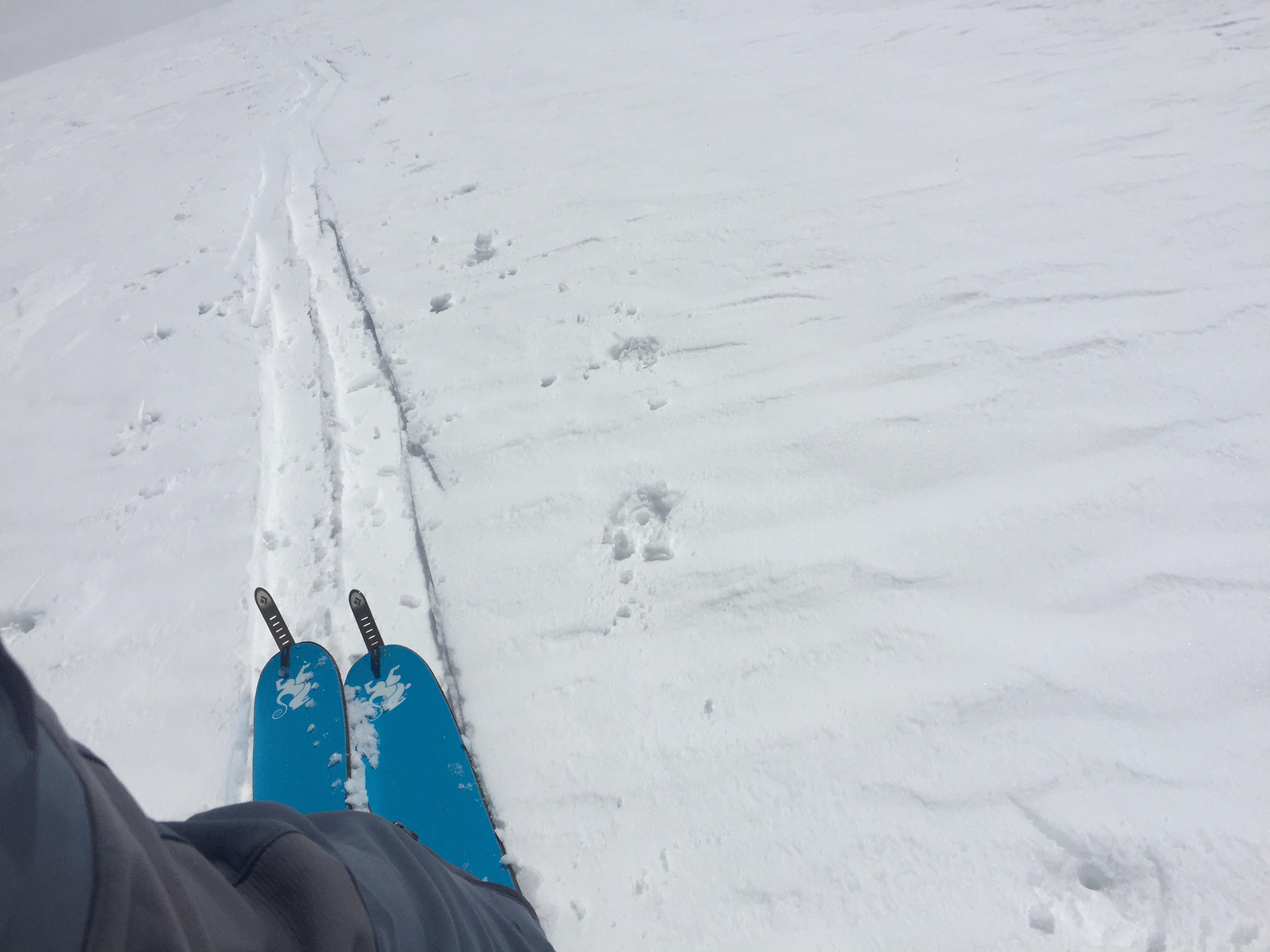
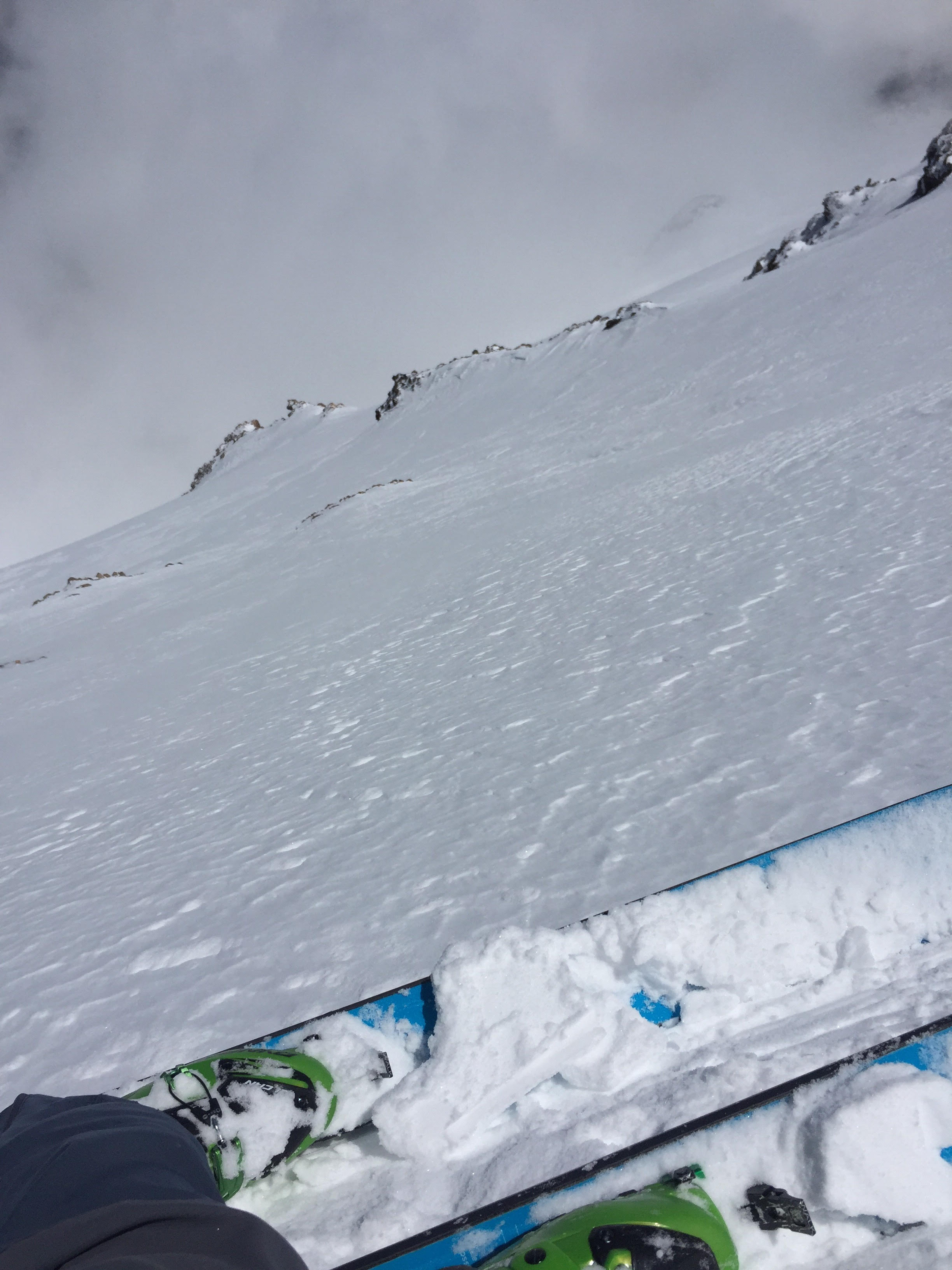
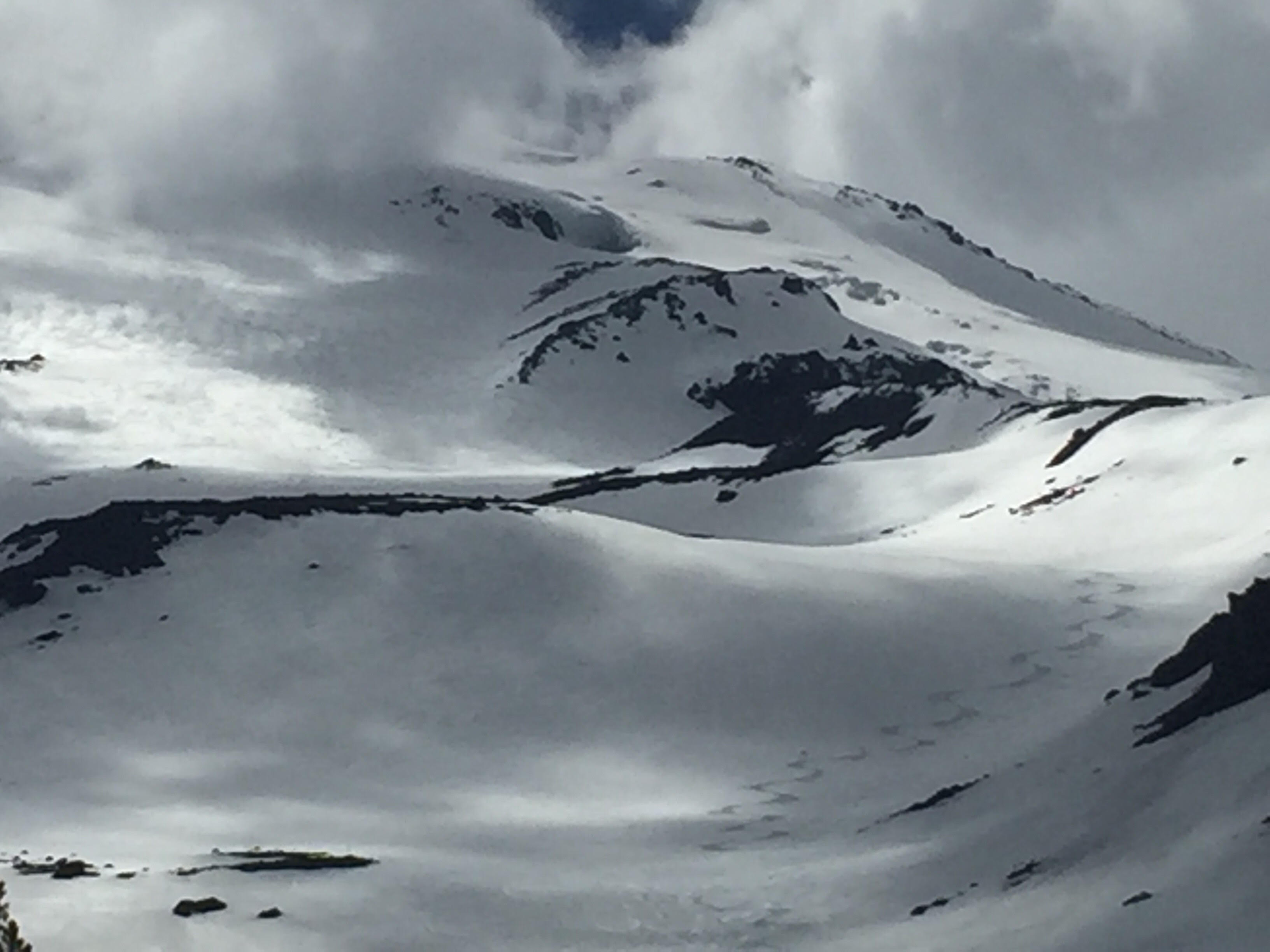
I skied the Hotlum Wintun snowfield from the summit pinnacle. The snow directly off the top, and for the first 500 feet is heavily wind affected. 20cm thick, stubborn and hard, wind slab. The skiing did not inspire confidence and I questioned the slab's stability. I avoided open bowls and skied conservatively through rock anchored features until reaching 13,000 feet. Below 13,000 feet, I enjoyed good quality powder snow that became progressively crustier (zipper crust) as terrain opened up and offered less protection from wind. Below 11,000 feet, there was good corn snow to treeline. As you can see from my photos, clouds played a large factor in snow quality on this day. More sun exposure could have impoved conditions dramatically on the upper mountain, but on the same note, the clouds allowed for good corn snow conditions down low to persist later in the day.