You are here
Mount Shasta Wilderness Trailhead Update
General Conditions
Trailhead Access: Except Bunny Flat, all summit passes, wilderness permits and human waste packout bags must be attained at the McCloud or Mt. Shasta Ranger Stations (self-issue) or at The Fifth Season in Mt. Shasta.
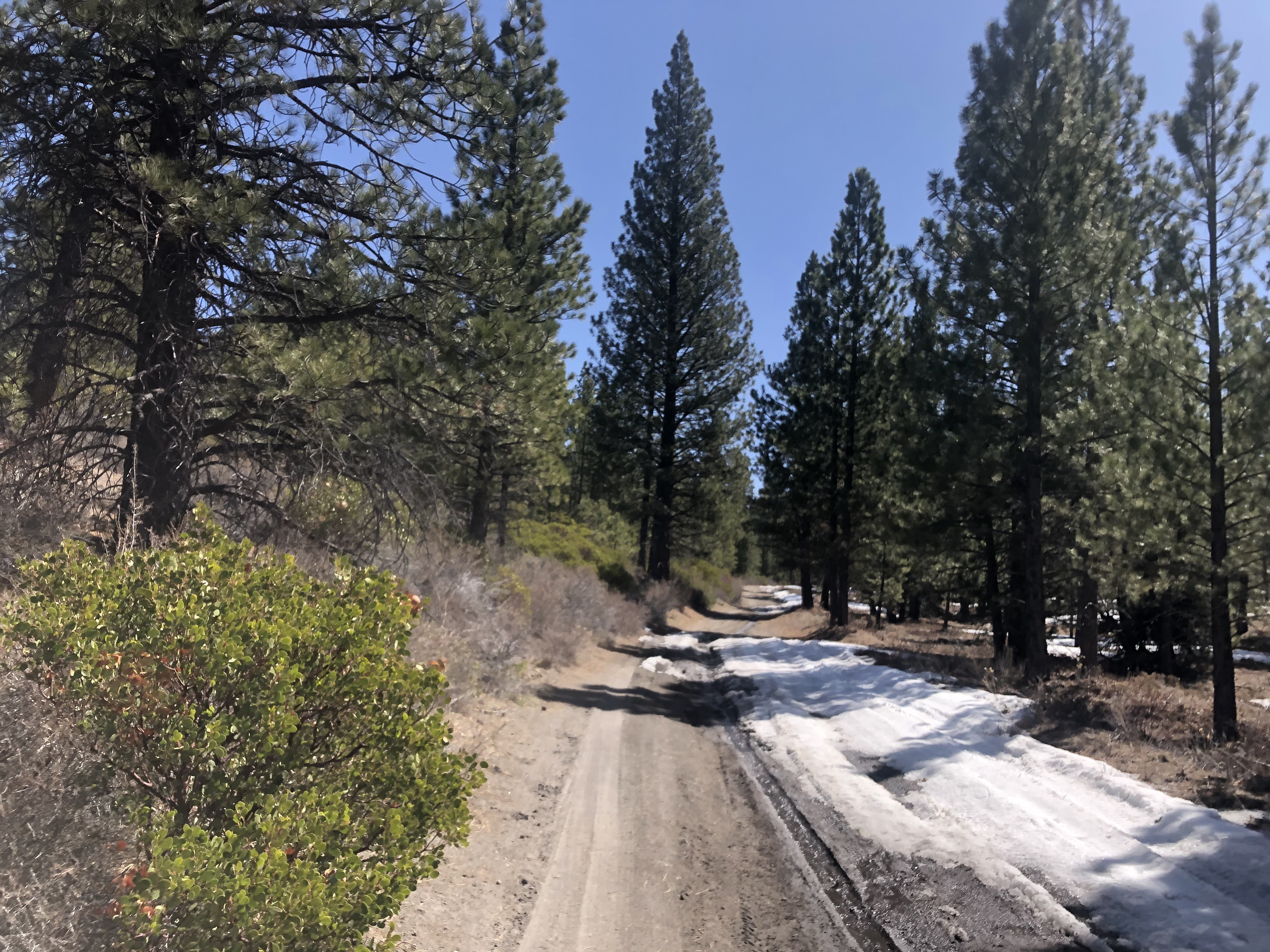
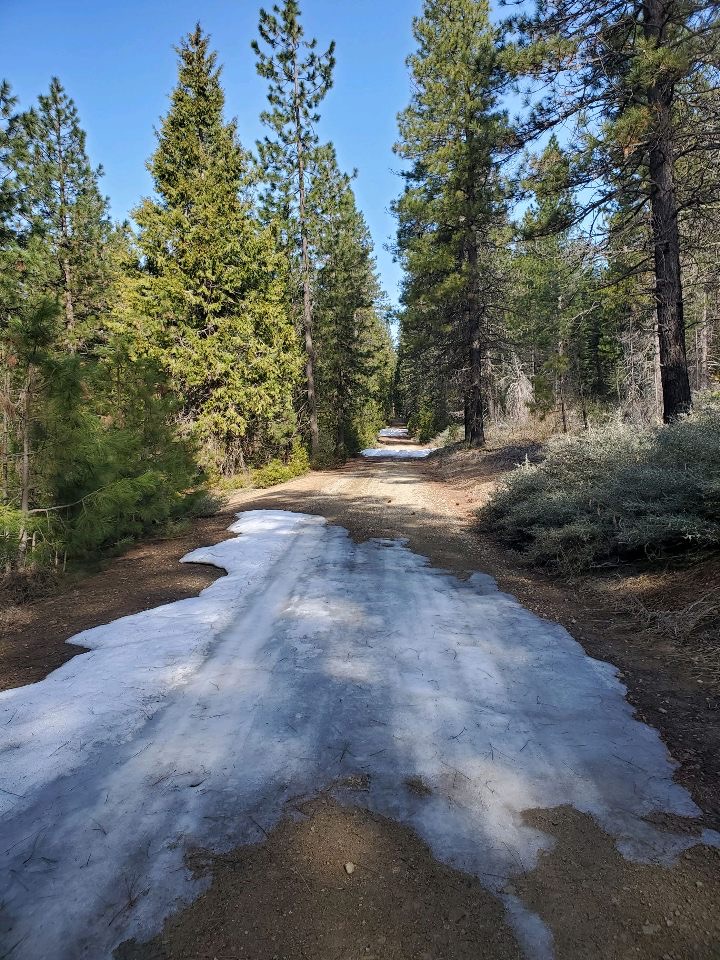
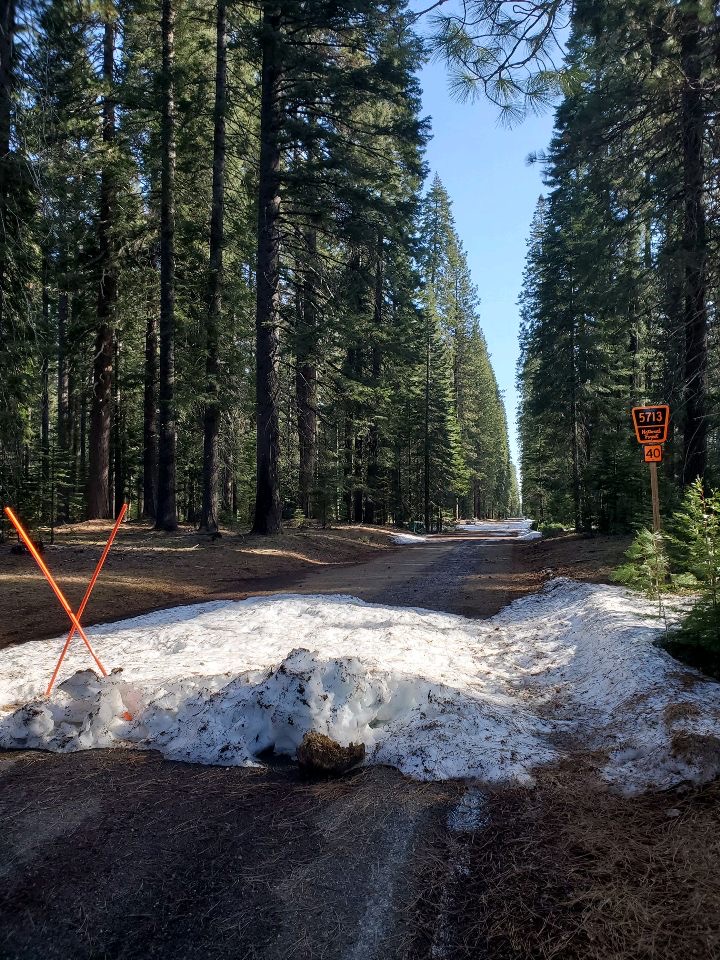
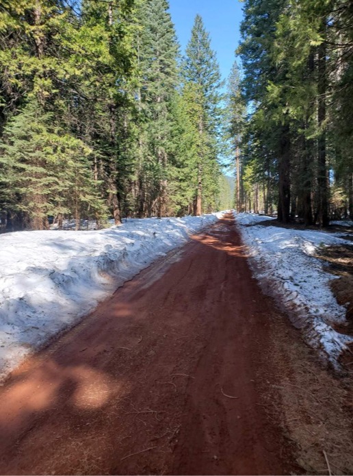
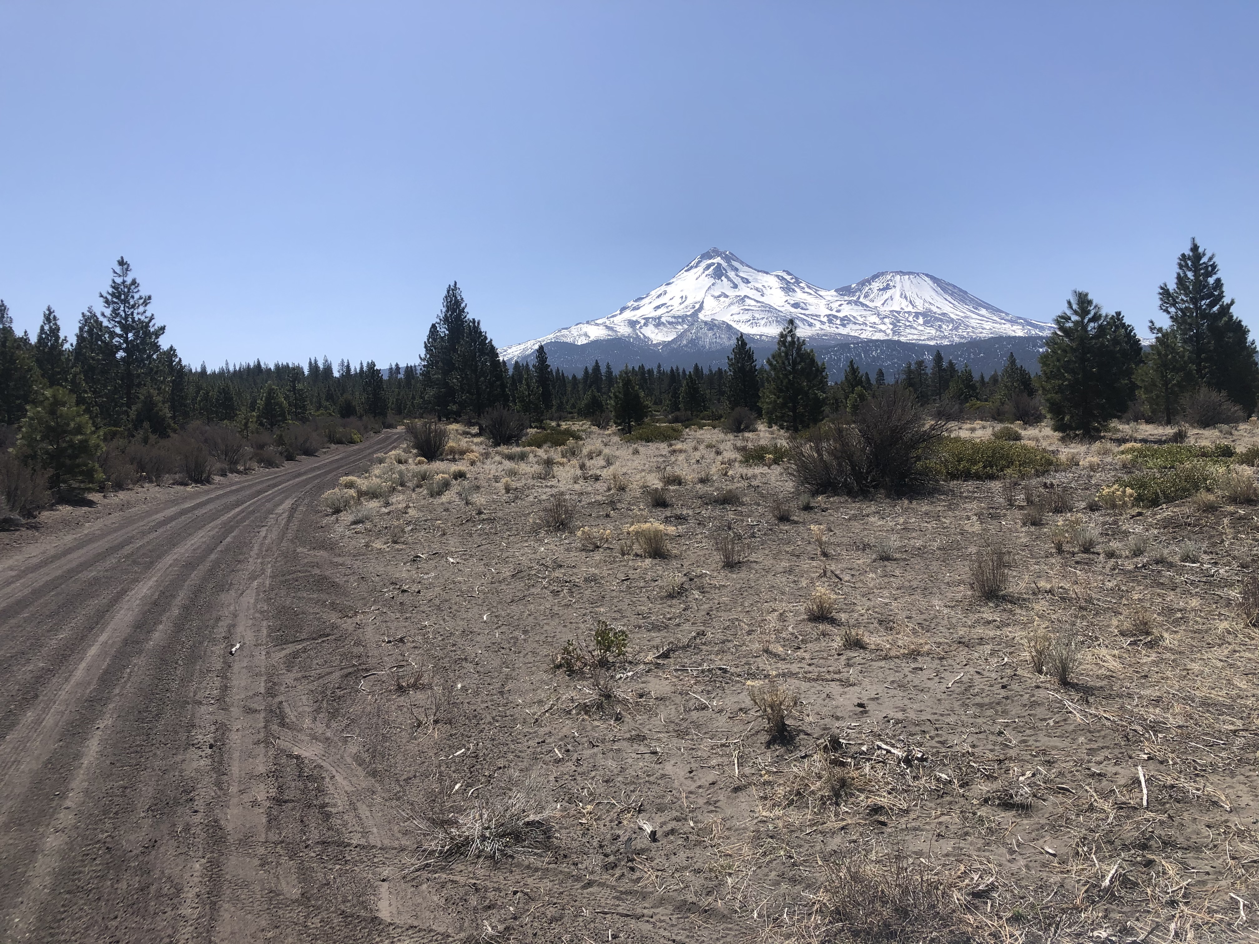
Access to the Mount Shasta trailheads on the north and east side is still a long way out despite the two weeks of warm spring weather since our last update. Many of the storms this winter came in cold with low snow levels leaving the roads clogged with snow. This is nothing out of the ordinary for April, but we understand the sense of urgency as the shallow snowpack continues to melt off the climbing routes around the mountain. Many of the roads are in rough shape, to begin with. Please do your best to stay on road and avoid creating new deep muddy ruts or wait until it melts out fully.
Signs of the shallow snowpack are visible from a distance. The gullies are filled in, but all morainal convexities are scoured to rock. Large patches of hard, glacial ice are glisten on upper portions of the Whitney, Bolam and Hotlum glaciers. All routes on this side of the mountain are not to be taken lightly. The consequences of a slip and fall could be severe.
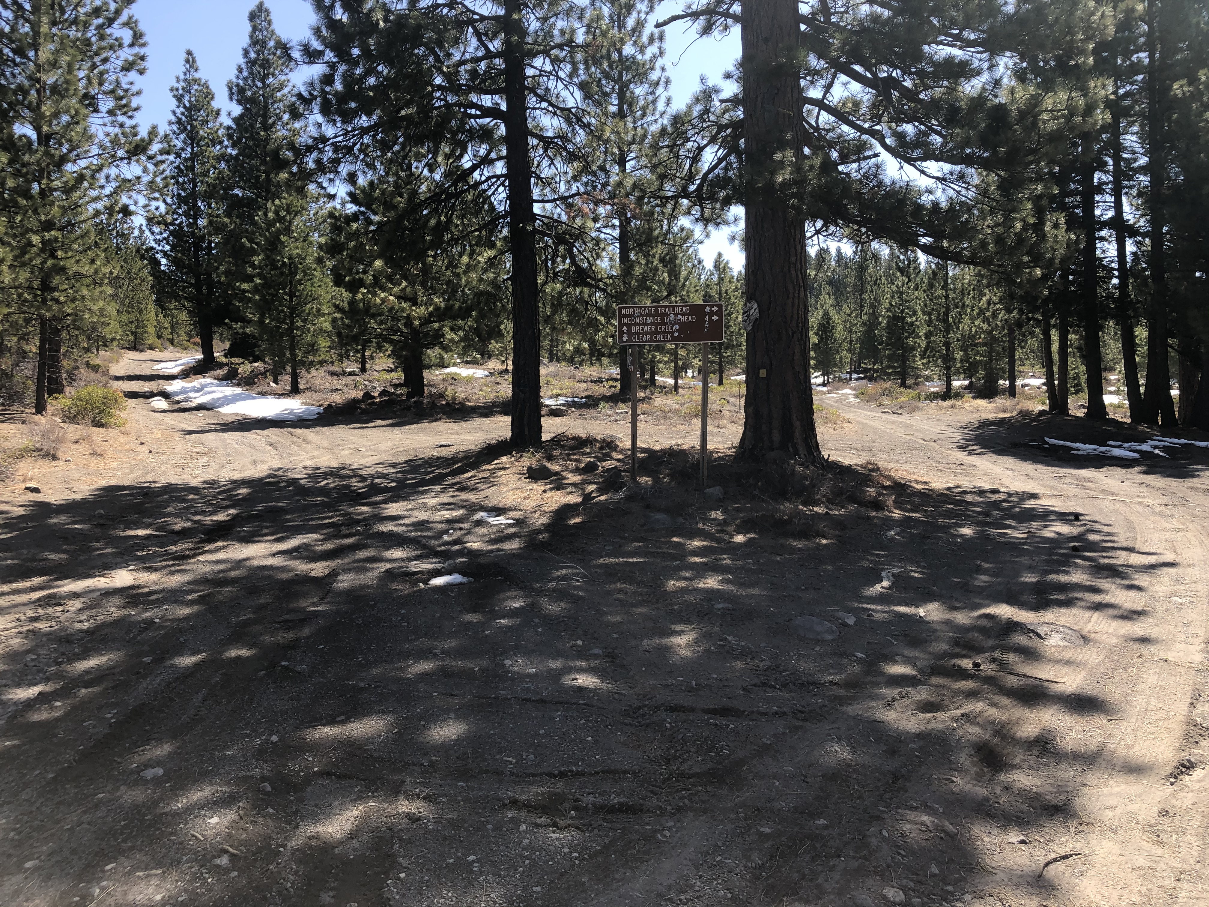
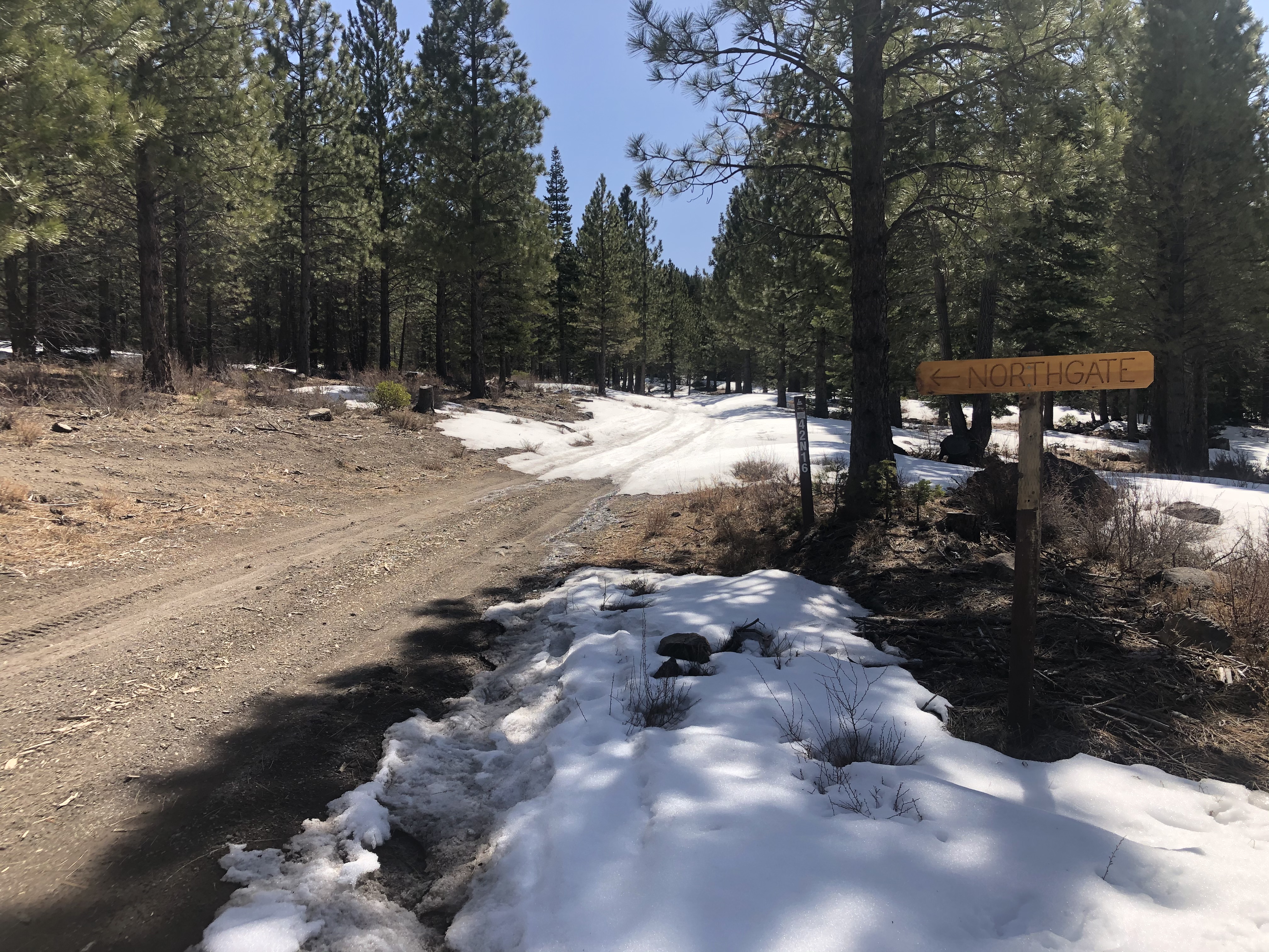
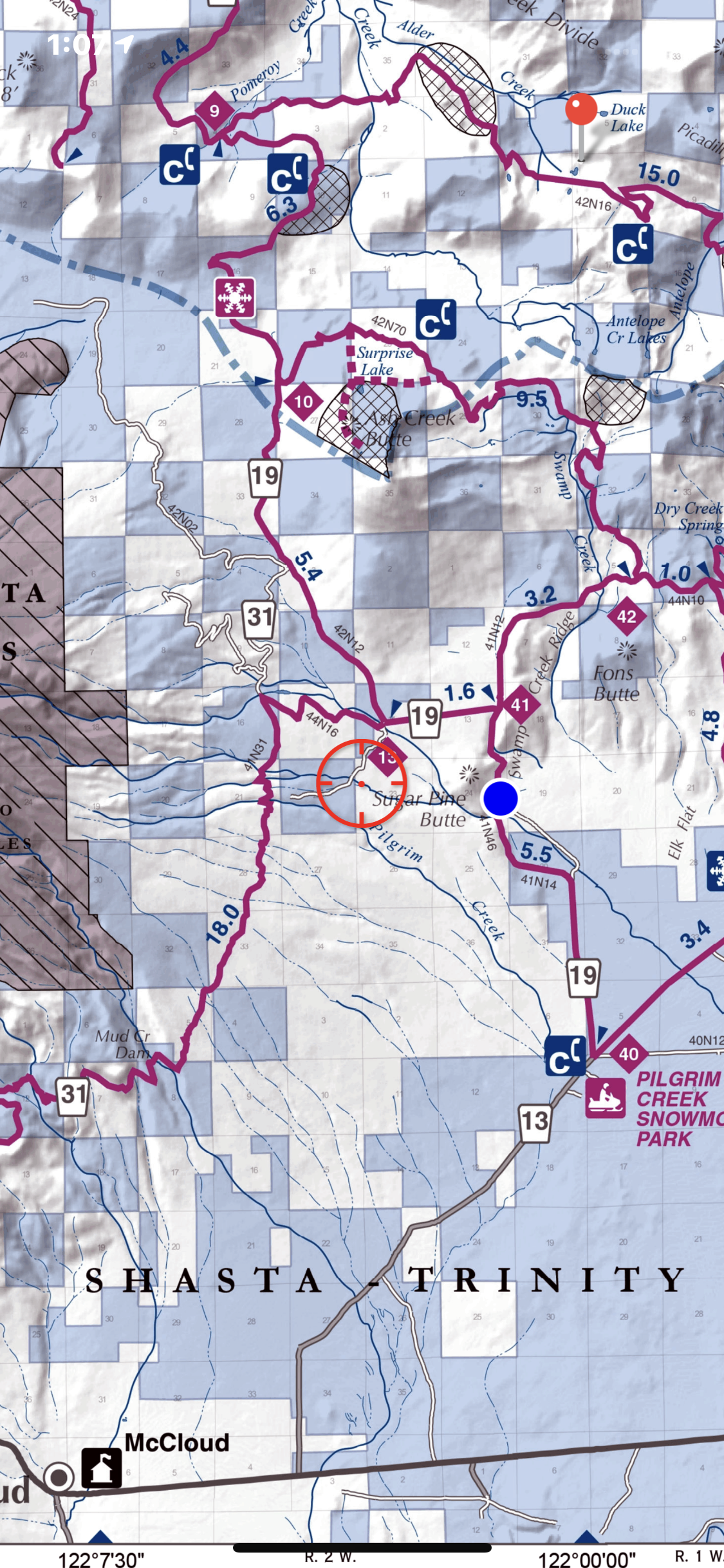
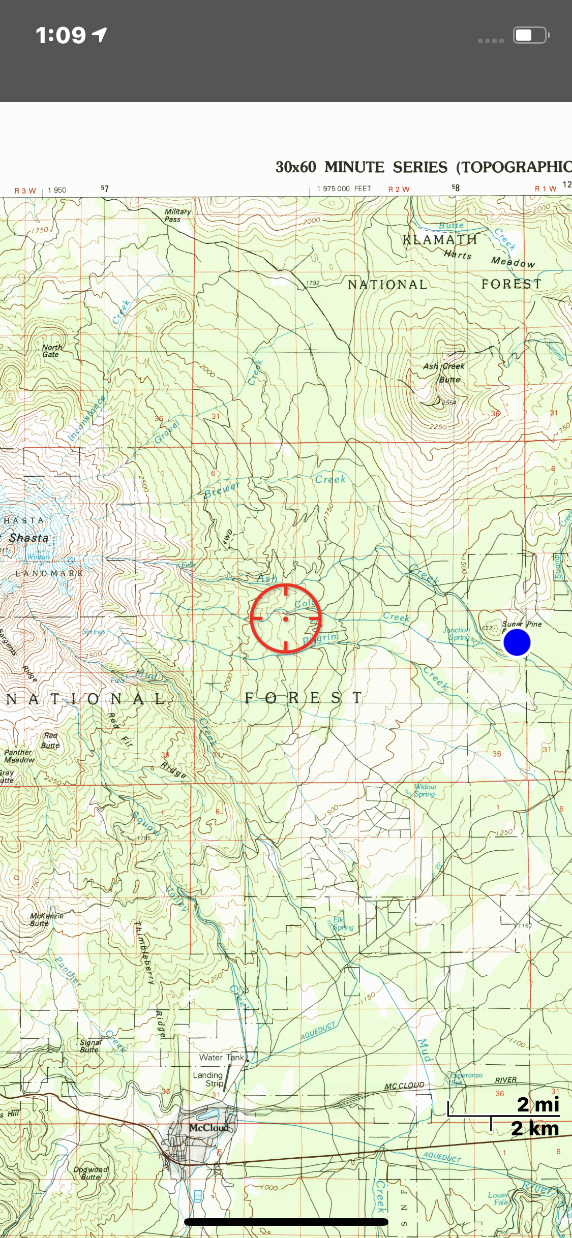
Northgate: 3.9 miles of snow covered roads to the trailhead. One can drive 4.1 miles up Military Pass road as of 4.5.21. The last .5 miles has patchy snow and 4x4 with clearance is recommended. Snow level is approximately 5,200 feet.
Brewer Creek: One lane of Military Pass has been plowed past Pilgrim Creek Sno-Park for 4 miles. Access is blocked by snow any further, leaving 16.5 miles of snow covered roads to the trailhead.
Clear Creek: Patchy snow still exists on the Clear Creek road down at Pilgrim Creek road intersection, and it doesn't take long before you reach deeper continuous snow. This leaves 8 miles of snow-covered dirt roads to the trailhead.
Bunny Flat: Open year round. Self-issue summit passes ($25 for 3 days), wilderness permits and human waste packout bags are available at the trailhead. Annual passes at The 5th Season in town.
Sand Flat/Old Ski Bowl: 3 miles of snow covered road past Bunny Flat to the trailhead. Get permits/passes/packout bags at Bunny Flat.