You are here
Mount Shasta Wilderness Trailhead Update
General Conditions
Trailhead Access: Except Bunny Flat, all summit passes, wilderness permits and human waste packout bags must be attained at the McCloud or Mt. Shasta Ranger Stations (self-issue) or at The Fifth Season in Mt. Shasta.
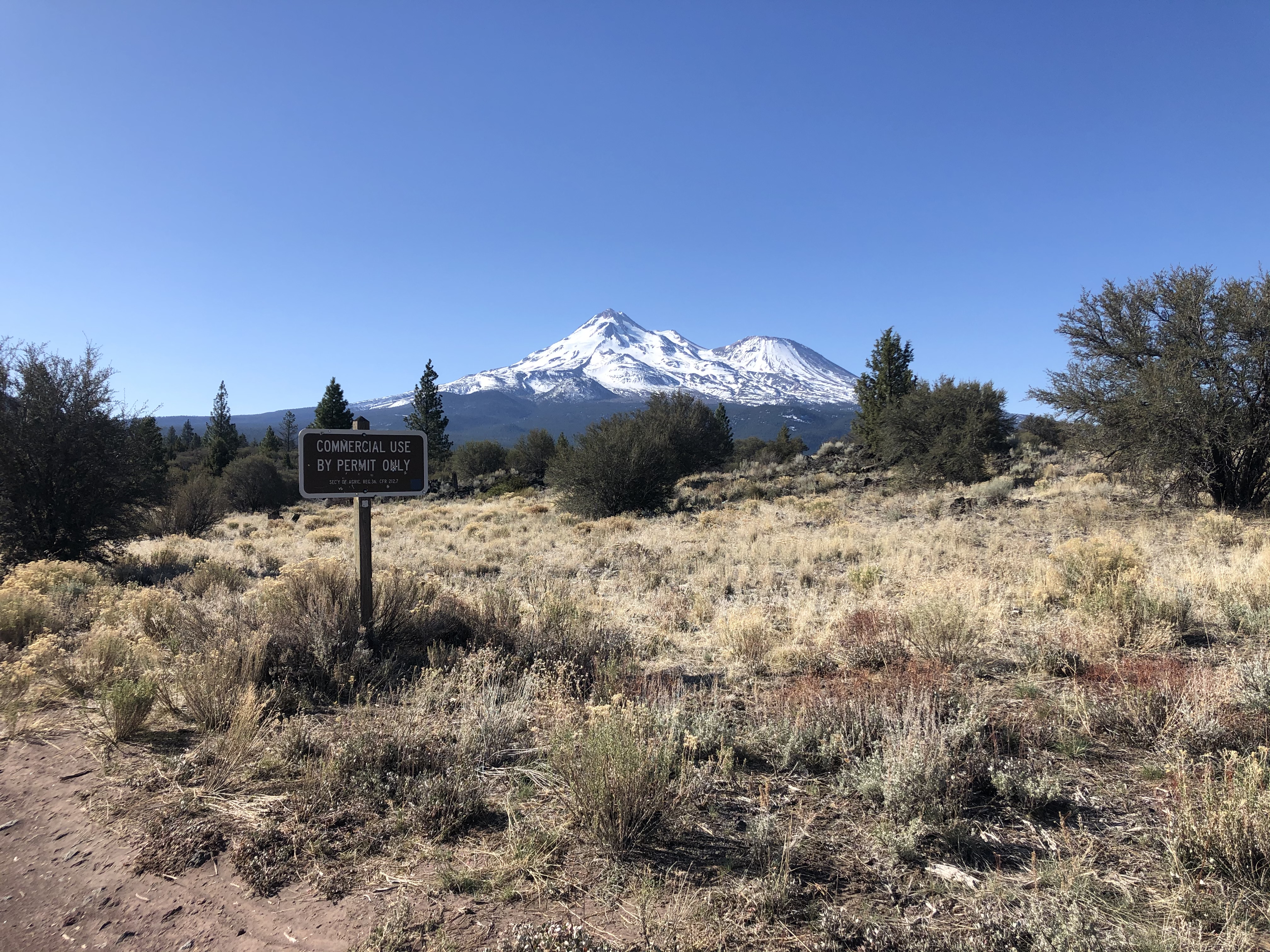
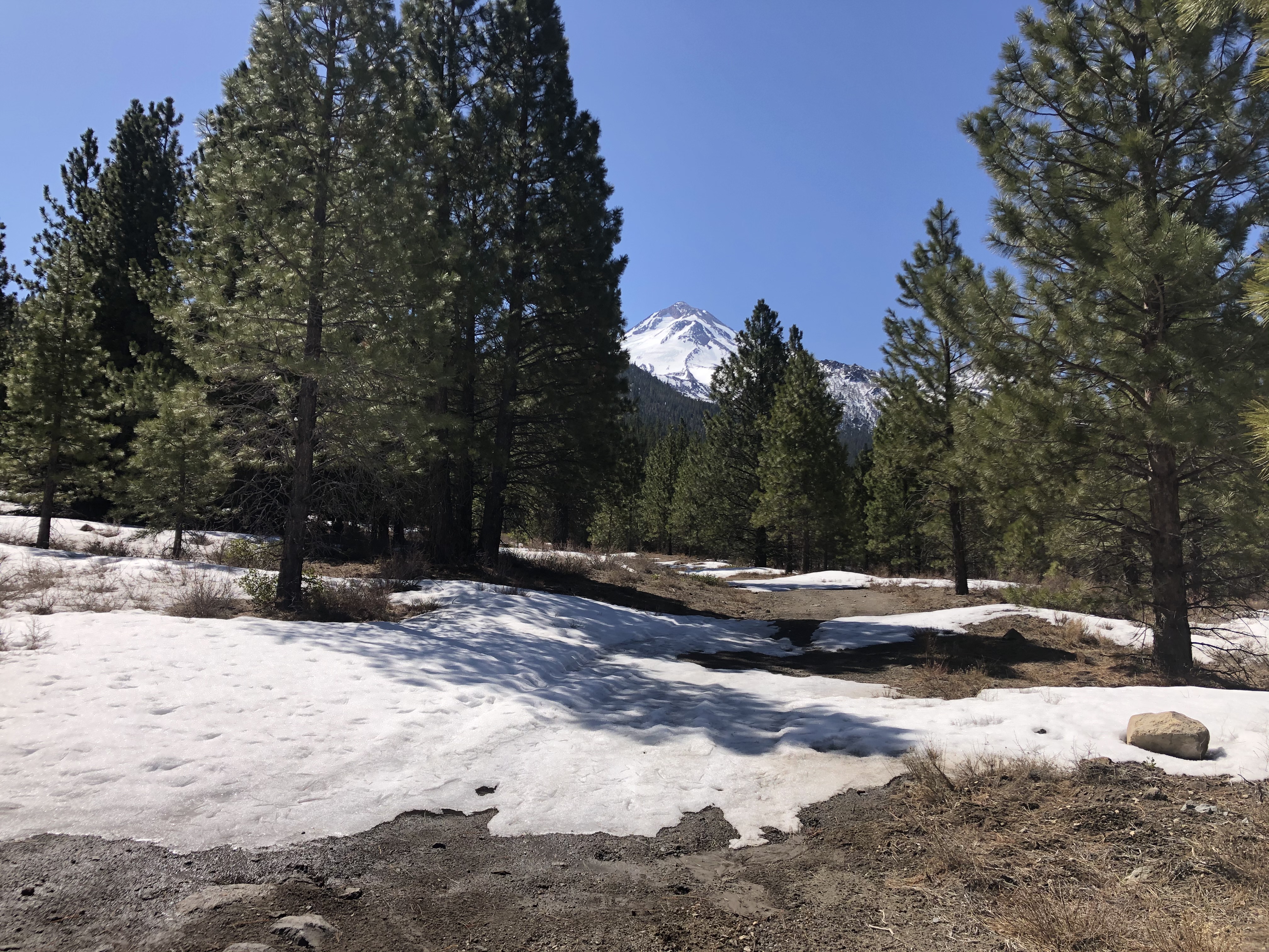
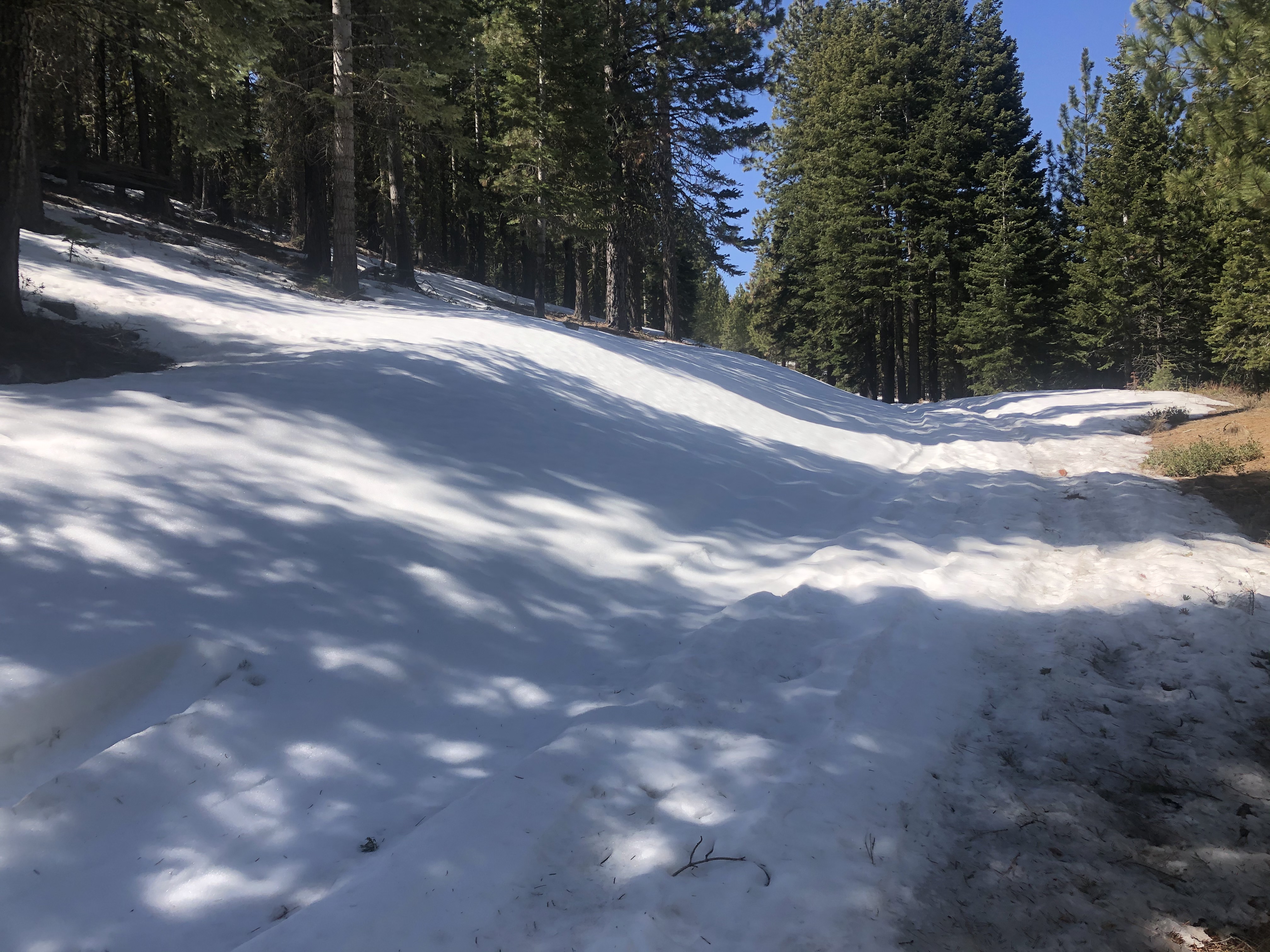
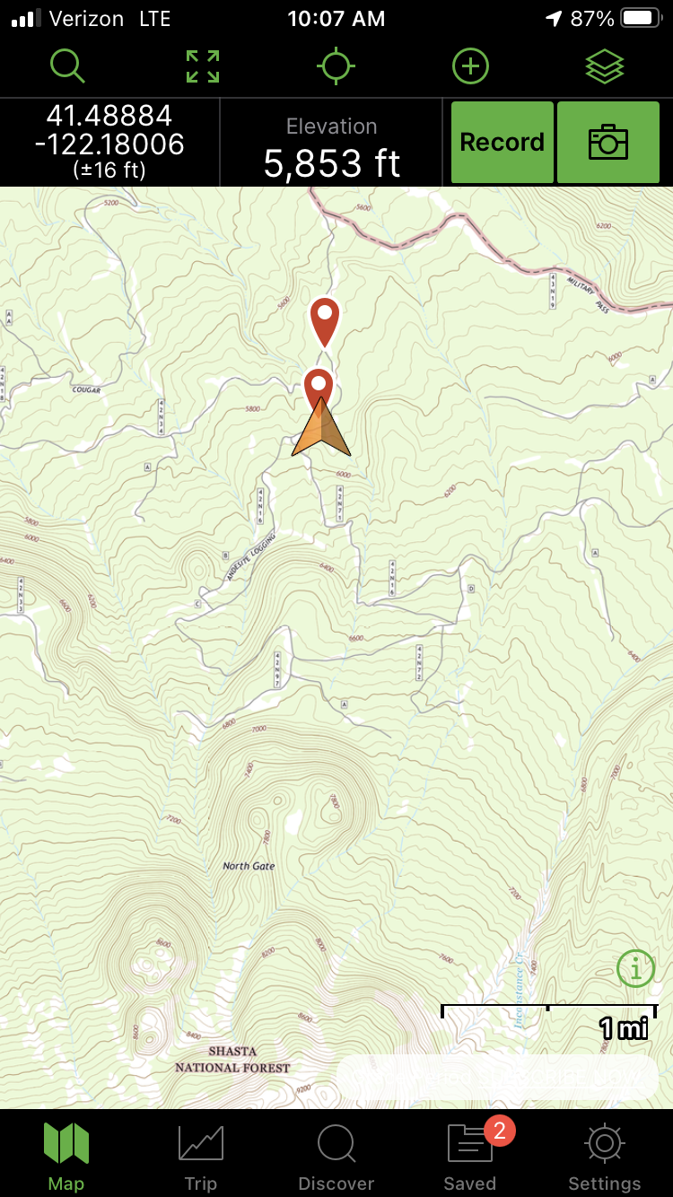
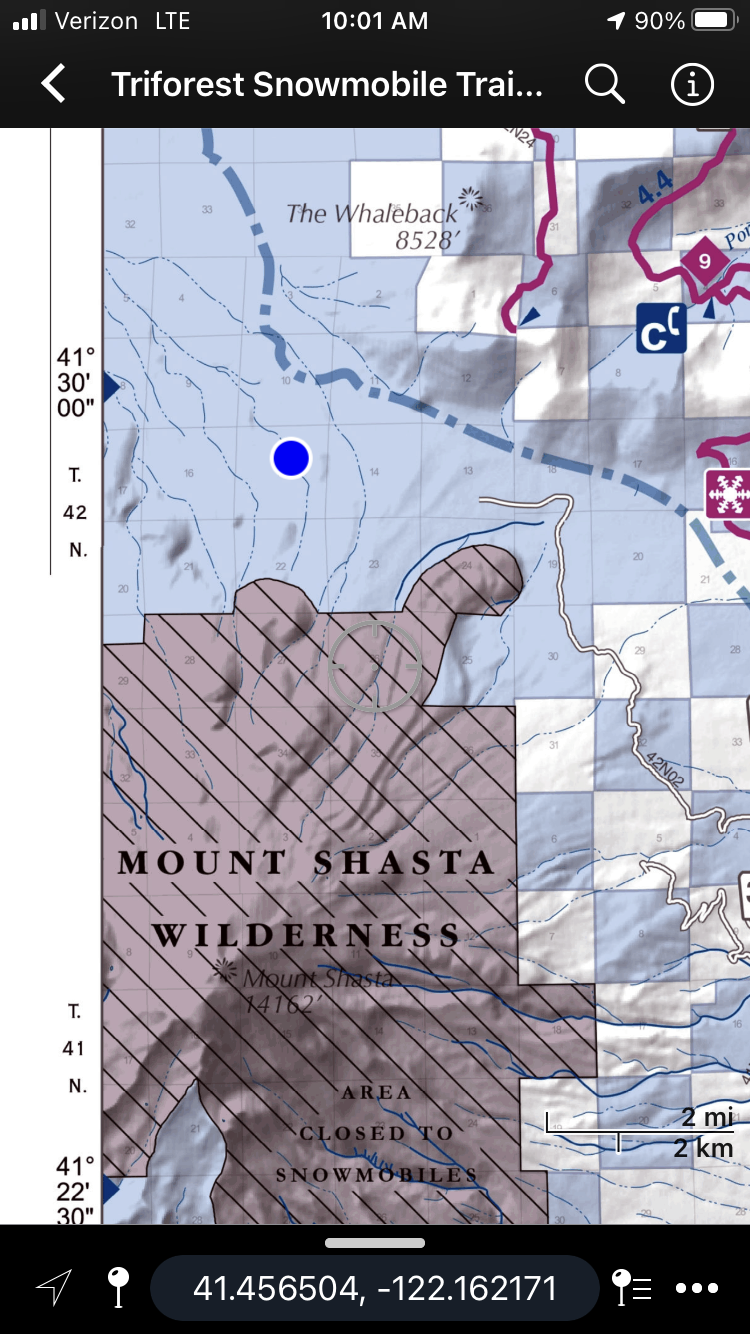
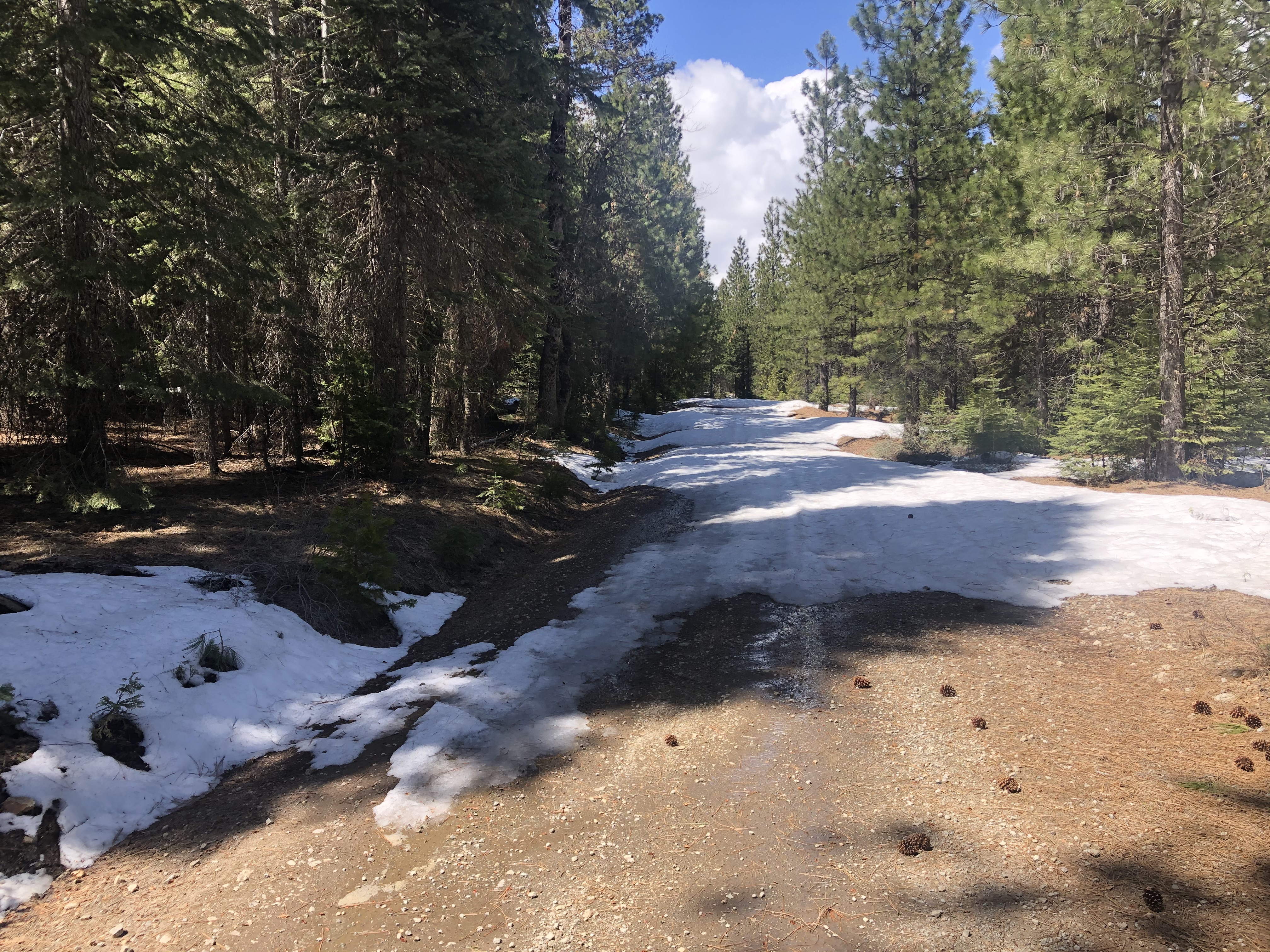
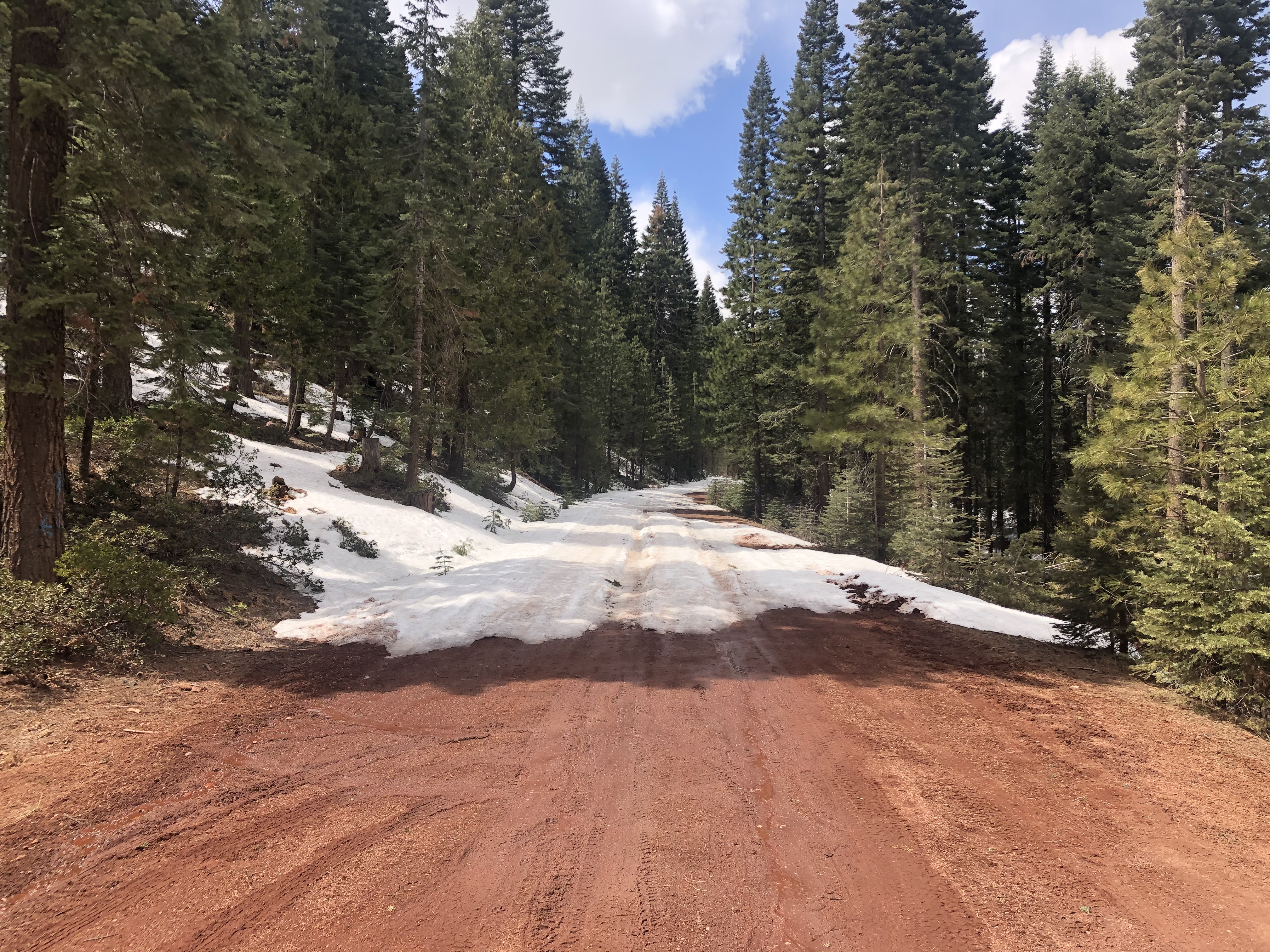
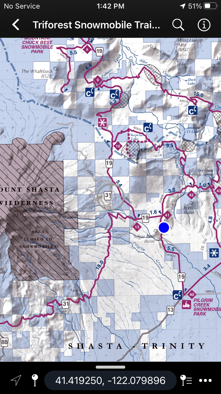
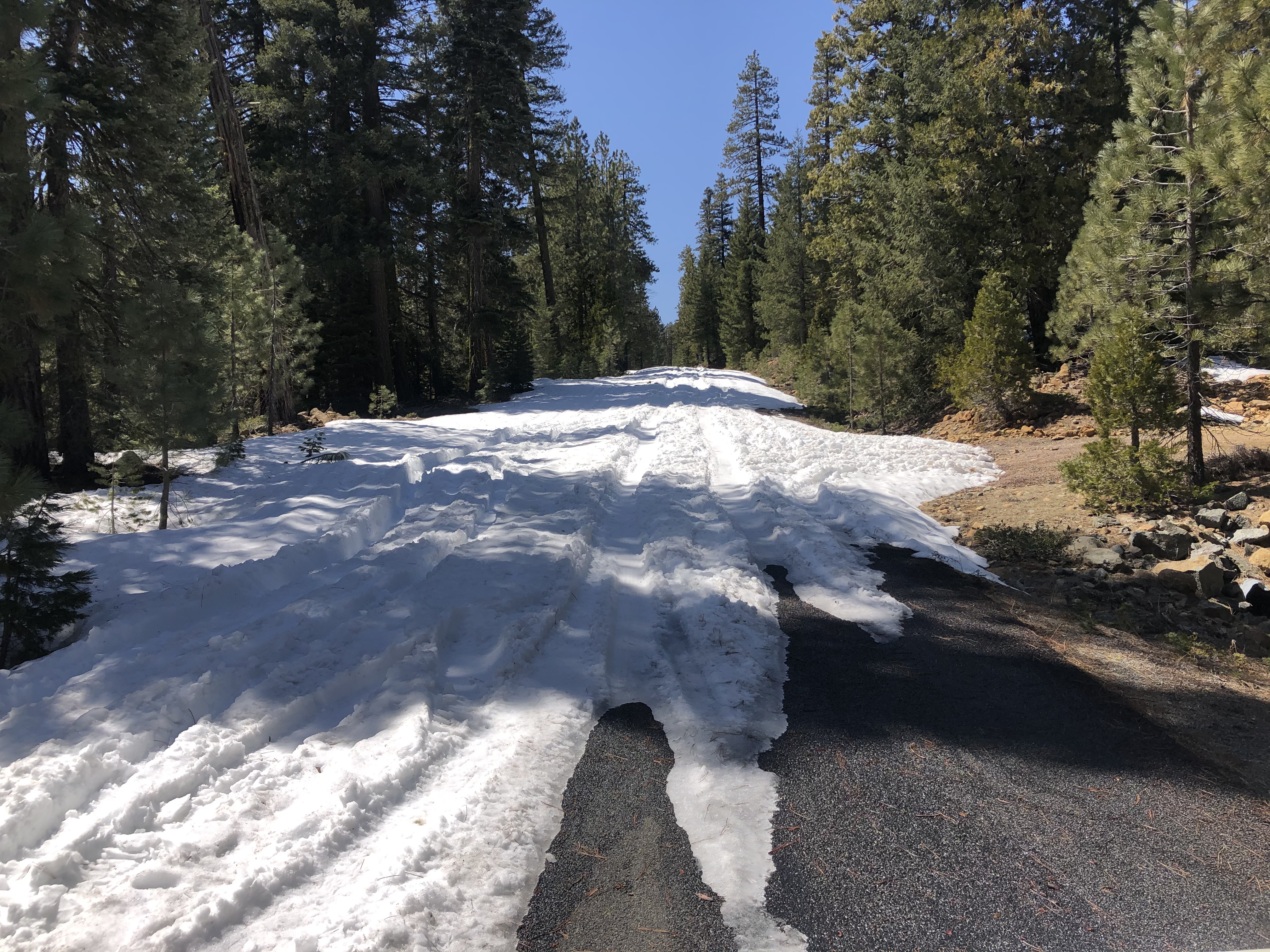
Northgate: 3.4 miles of snow covered roads to the trailhead. One can drive 5.6 miles up Military Pass road as of 4.13.21. The last .5 miles has patchy snow and 4x4 with clearance is recommended. Snow level is approximately 5,800 feet.
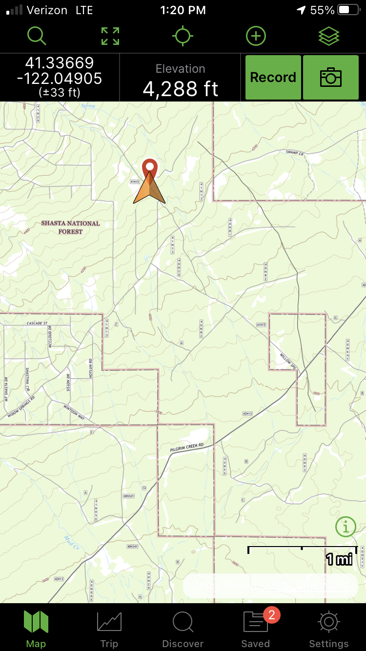
Brewer Creek: One lane of Military Pass has been plowed past Pilgrim Creek Snow-Park for 4 miles. One can drive another 0.5 miles past that with patchy snow, leaving 16 miles of snow covered roads to the trailhead.
Clear Creek: 5.8 miles of snow covered roads to the trailhead. One can drive 2.2 miles from the Pilgrim Creek road intersection as of 4.13.21. Patchy snow exist from the intersection and 4x4 with clearance is recommended. Snow level is approximately 4,200 feet.
Bunny Flat: Open year round. Self-issue summit passes ($25 for 3 days), wilderness permits and human waste packout bags are available at the trailhead. Annual passes at The 5th Season in town.
Sand Flat/Old Ski Bowl: 3 miles of snow covered road past Bunny Flat to the trailhead. Get permits/passes/packout bags at Bunny Flat.
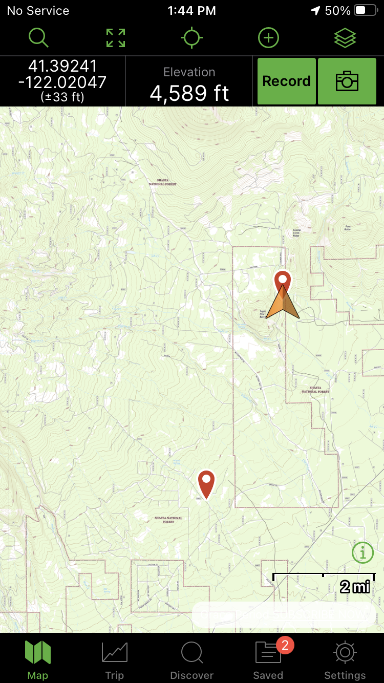
South Fork HW 26: One can drive 6.5 miles from the Forest Service boundary up HW 26 (South Fork Road). This is 0.25 miles past the bridge to the Gray Rock Lakes trailhead. Patchy snow starts 0.5 miles before the Gray Rock bridge.