You are here
Mt Shasta Wilderness trailhead access update
General Conditions
Trailhead Access: Except Bunny Flat, all summit passes, wilderness permits and human waste packout bags must be attained at the McCloud or Mt. Shasta Ranger Stations (self-issue) or at The Fifth Season in Mt. Shasta.
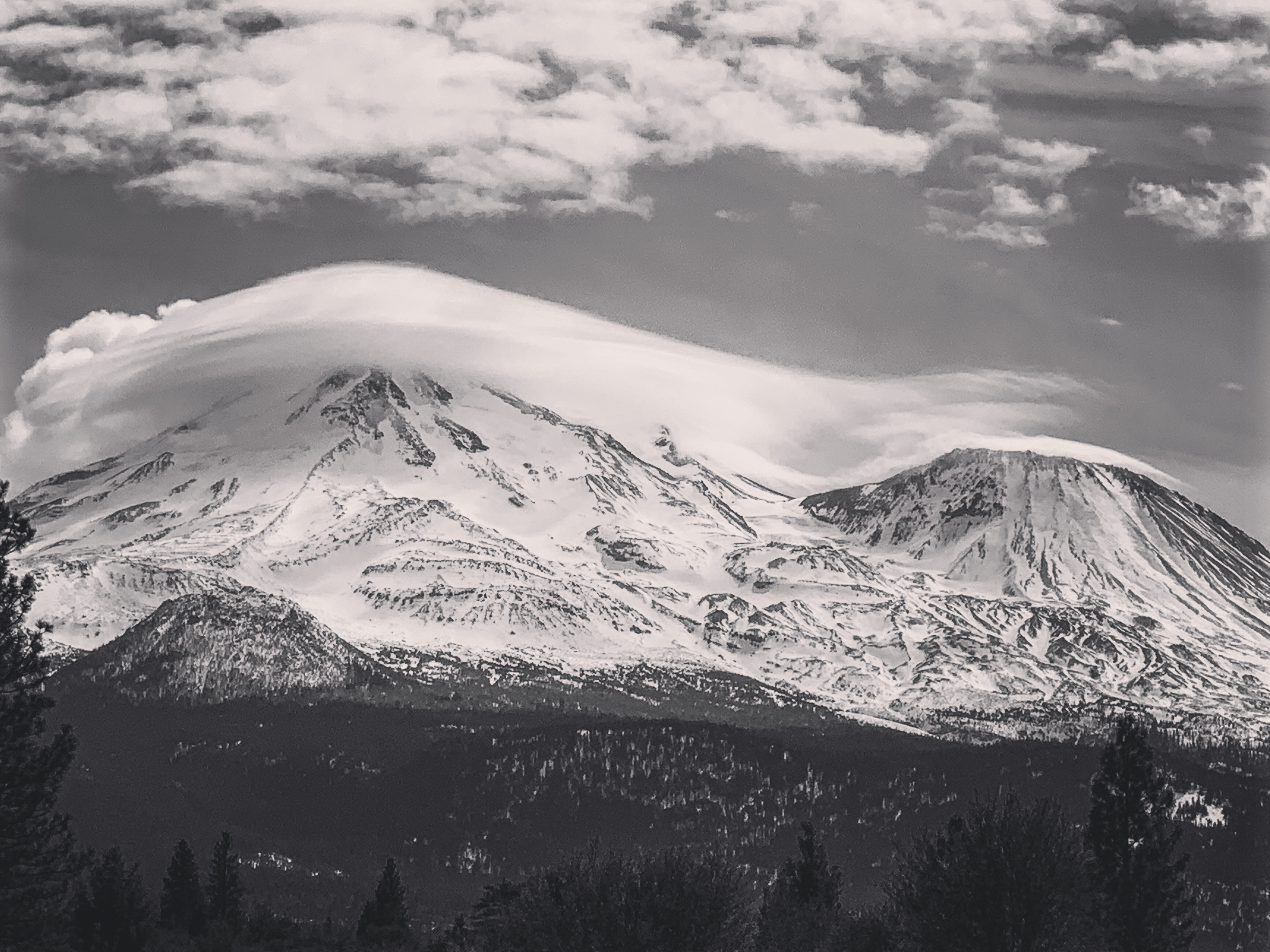
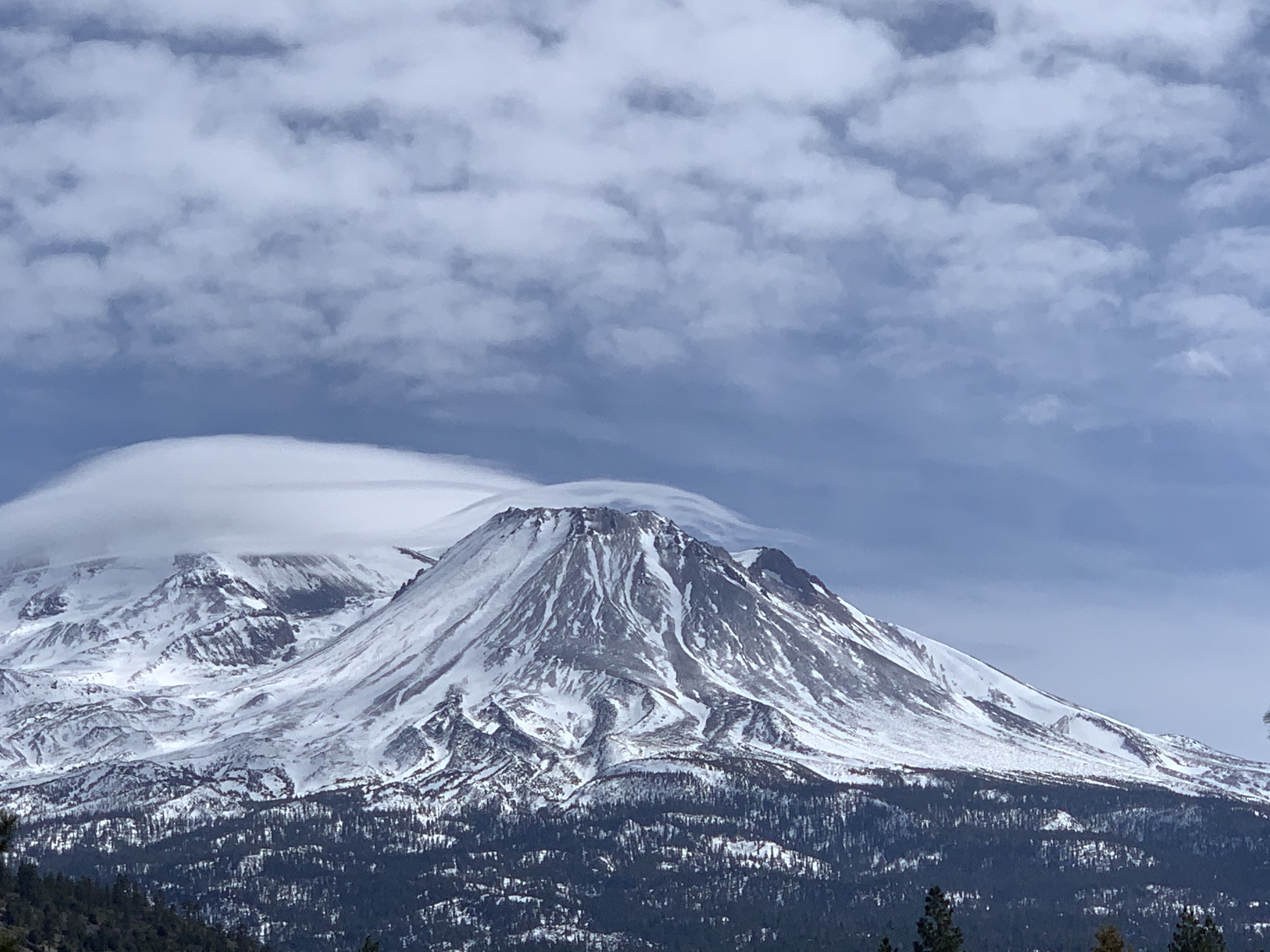
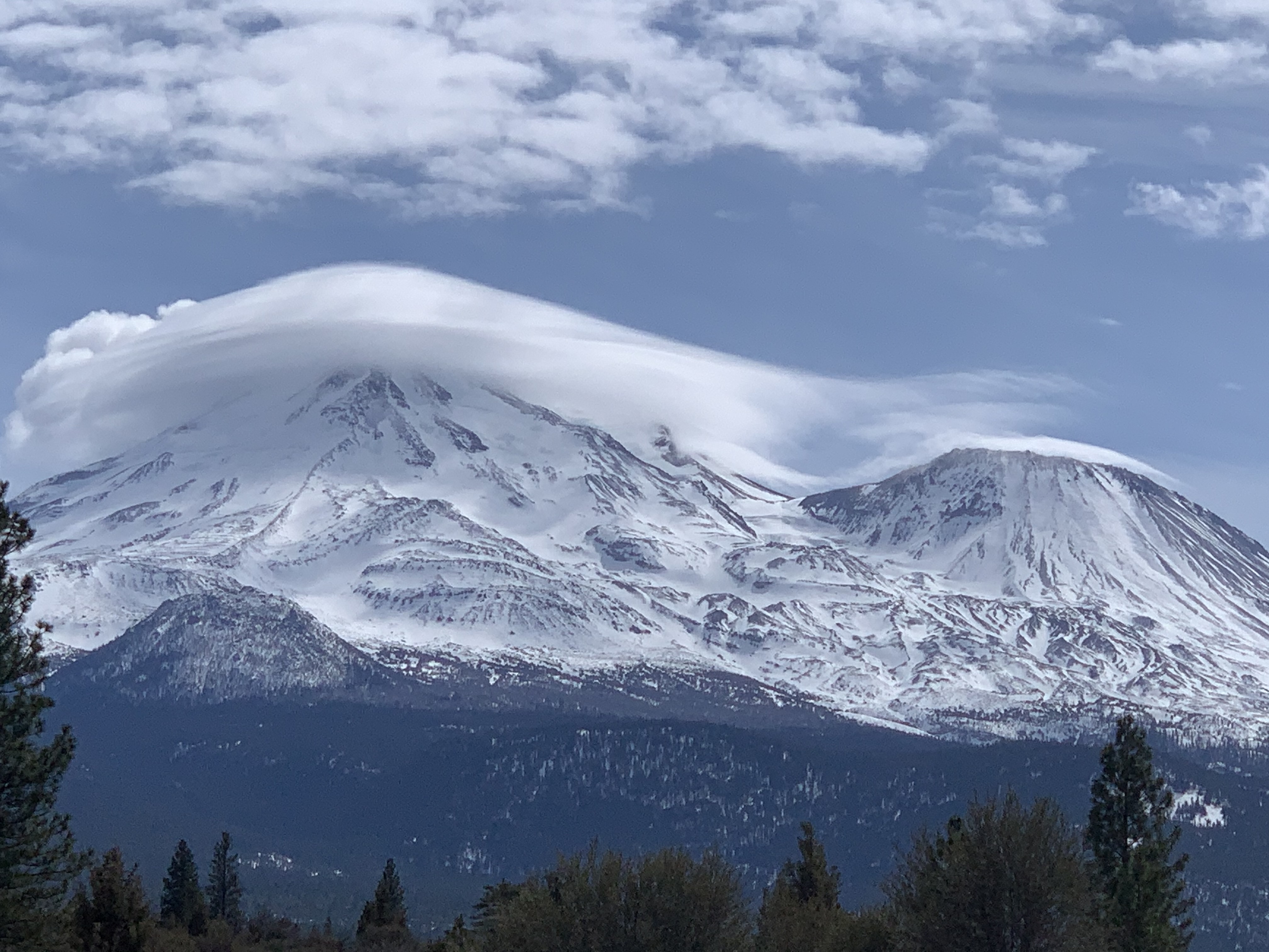
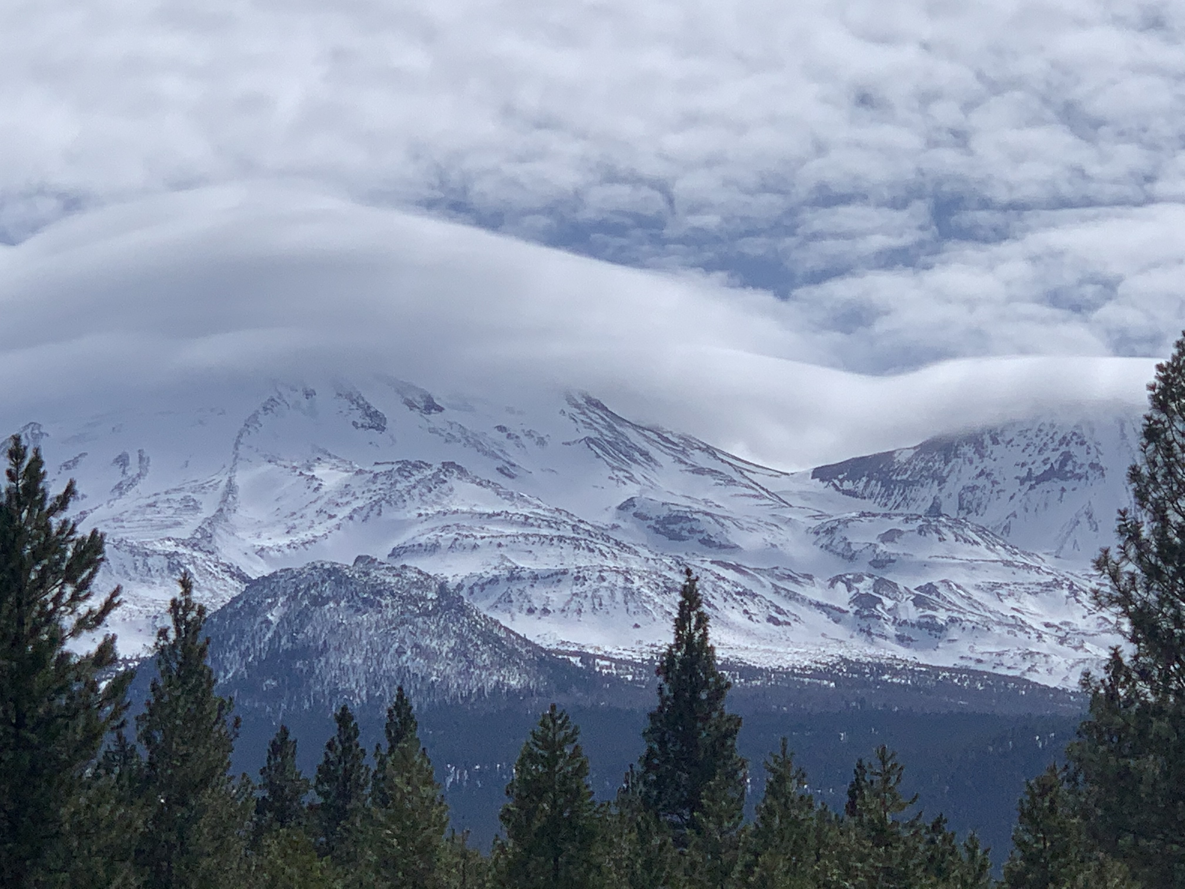
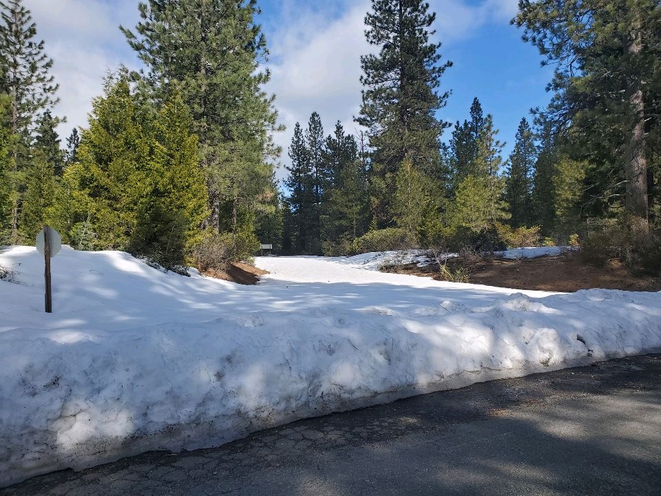
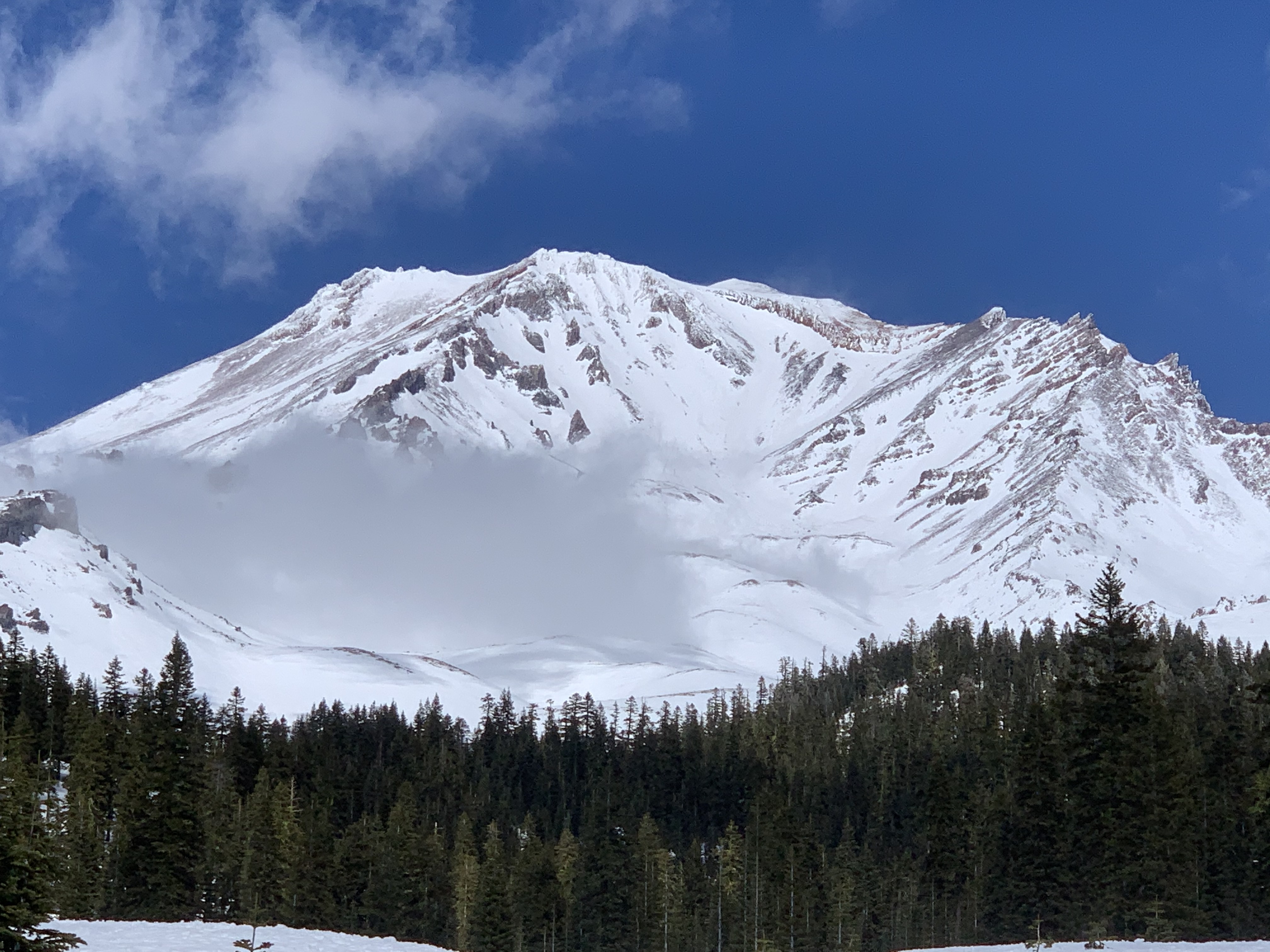
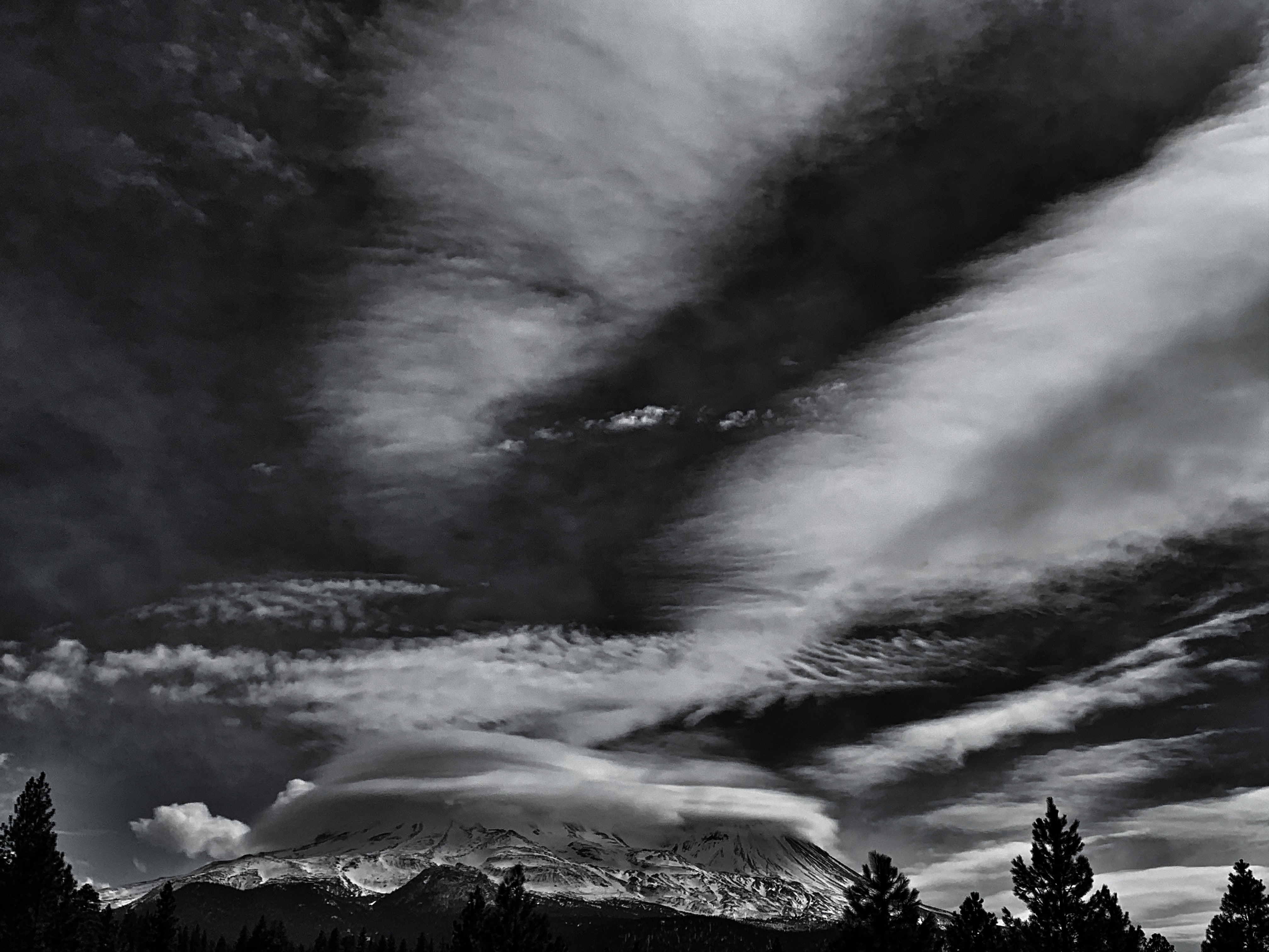
Northgate: 4.1 miles of snow covered roads to the trailhead. One can drive 3.9 miles up Military Pass road as of 3.24.21. Last .5 miles is 4x4 with clearance only. Snow level is ~5,000 feet. Temps were in the high 40's to low 50's °F. On the mountain, gullies are filled in some, but all morainal convexities are scoured to rock. Large patches of hard, glacial ice exist on upper portions of the Whitney, Bolam and Hotlum glaciers. Self-arrest on steep slopes with the given conditions is near impossible. Today hosted northerly flow and a lenticular cloud on the upper mountain, signifying high wind. The cloud deck lingered near 10-11,000 feet on the northside. All routes on this side of the mountain are not to be taken lightly. Consequences of a slip and fall could be serious.
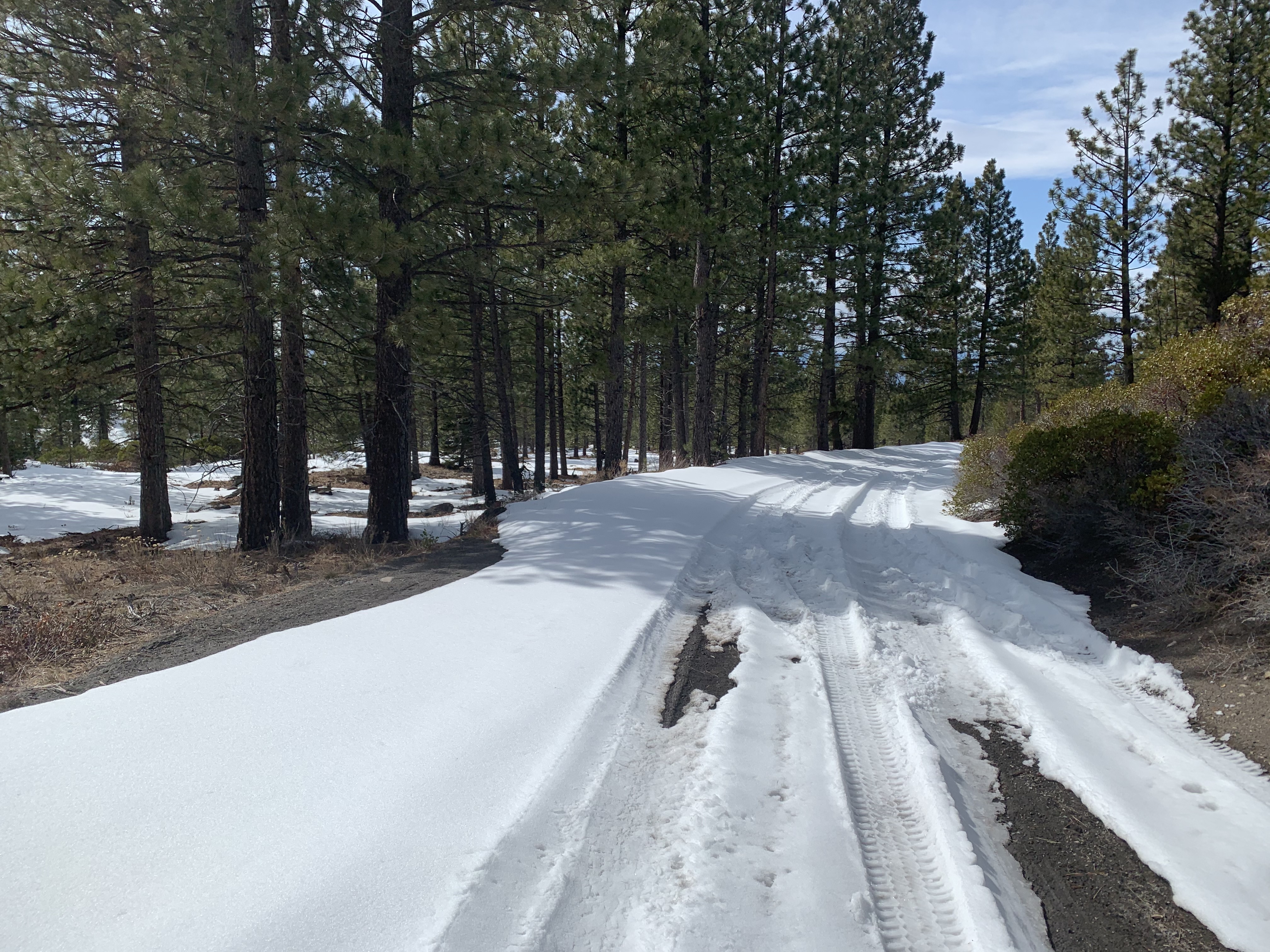
Brewer Creek: Snow still exists at Pilgrim Creek Sno-park. The road has been plowed an unknown distance past the sno-park due to logging. Access to the trailhead is a long ways out for now.
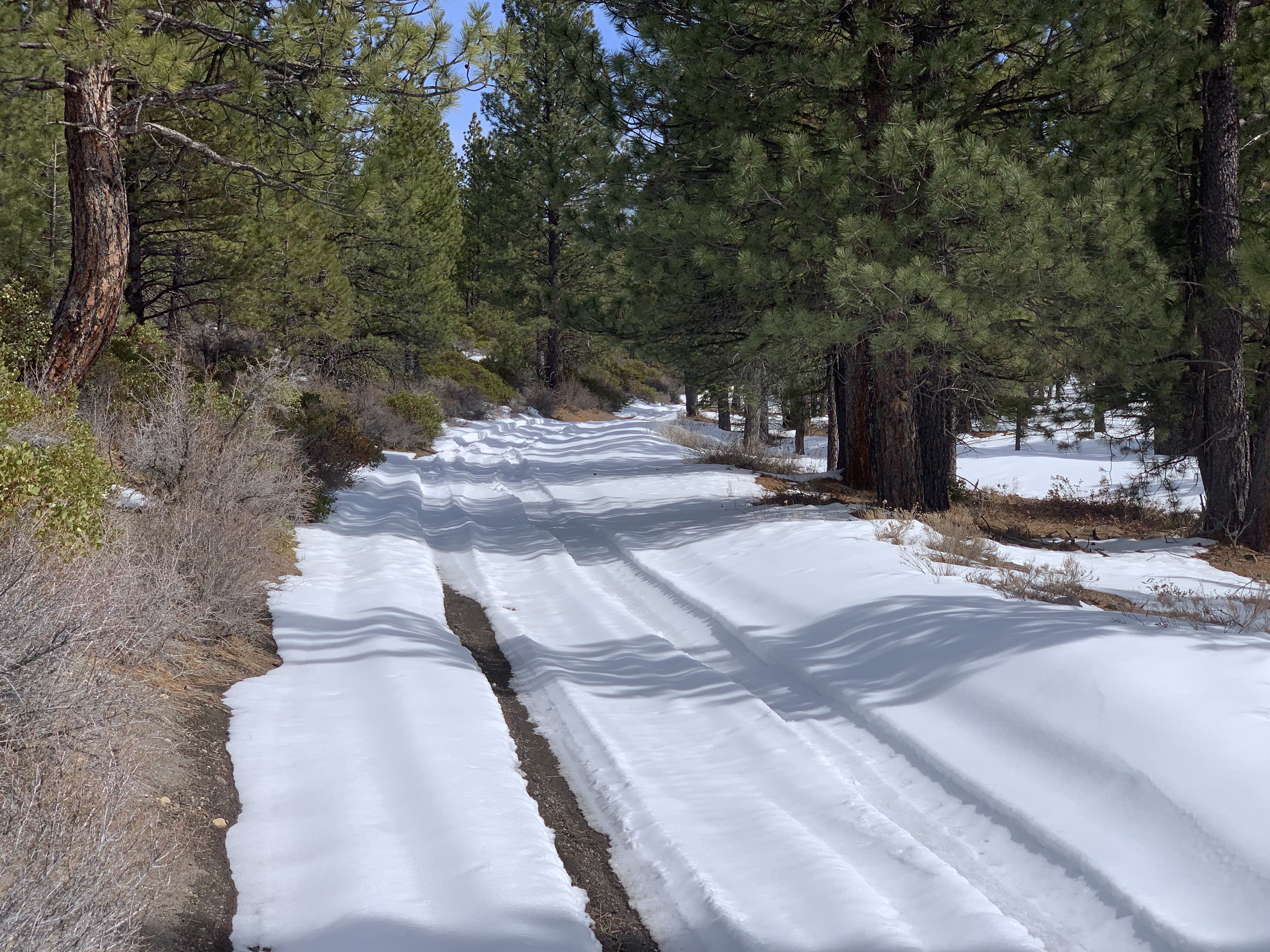
Clear Creek: Snow still exists on the Clear Creek road down at Pilgrim Creek road intersection. This leaves 8 miles of snow covered dirt roads to the trailhead.
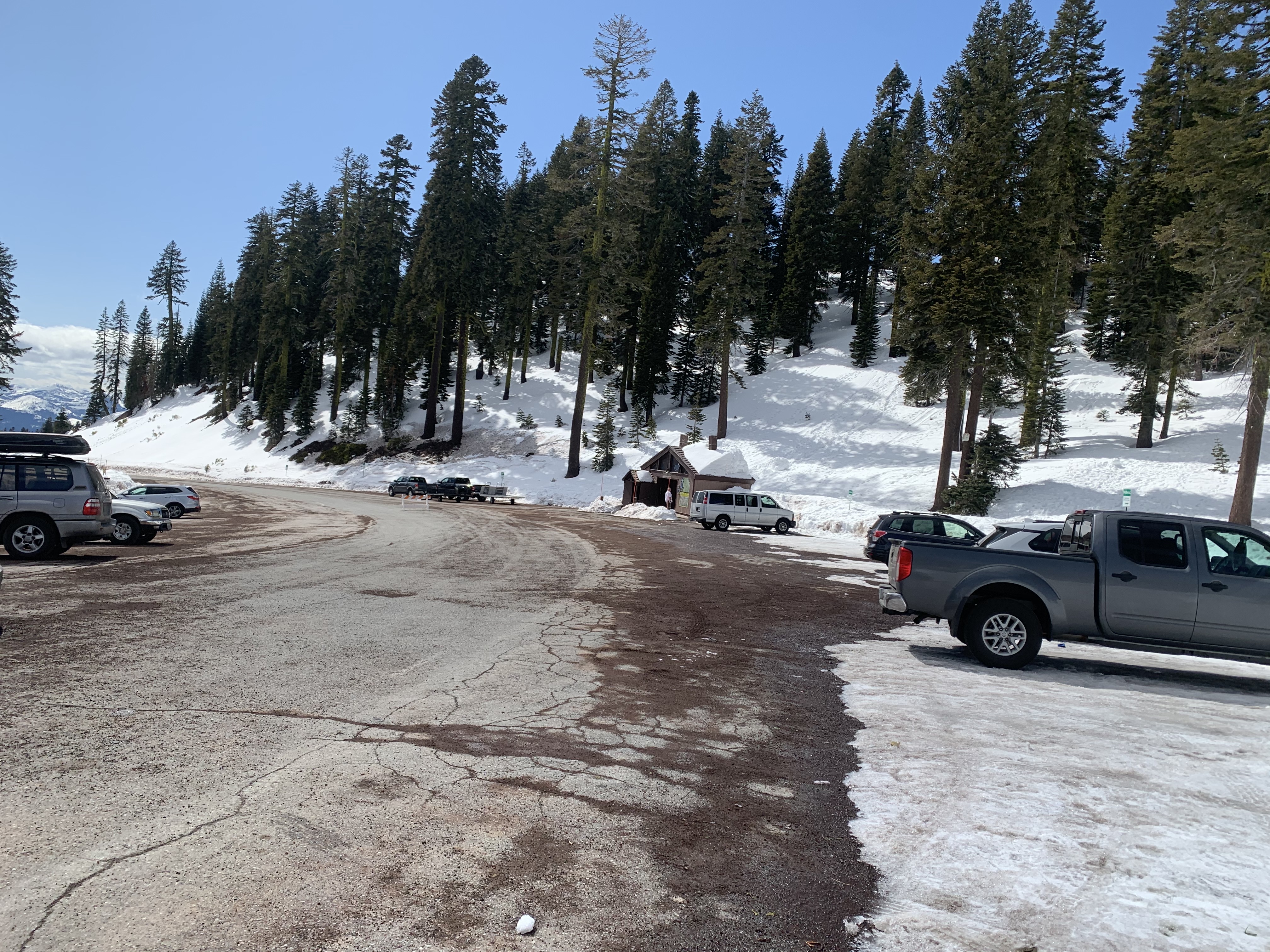
Bunny Flat: Open year round. Self-issue summit passes ($25 for 3 days), wilderness permits and human waste packout bags are available at the trailhead.
Sand Flat/Old Ski Bowl: Closed