You are here
Northside - Hotlum/Bolam to 10k
General Conditions
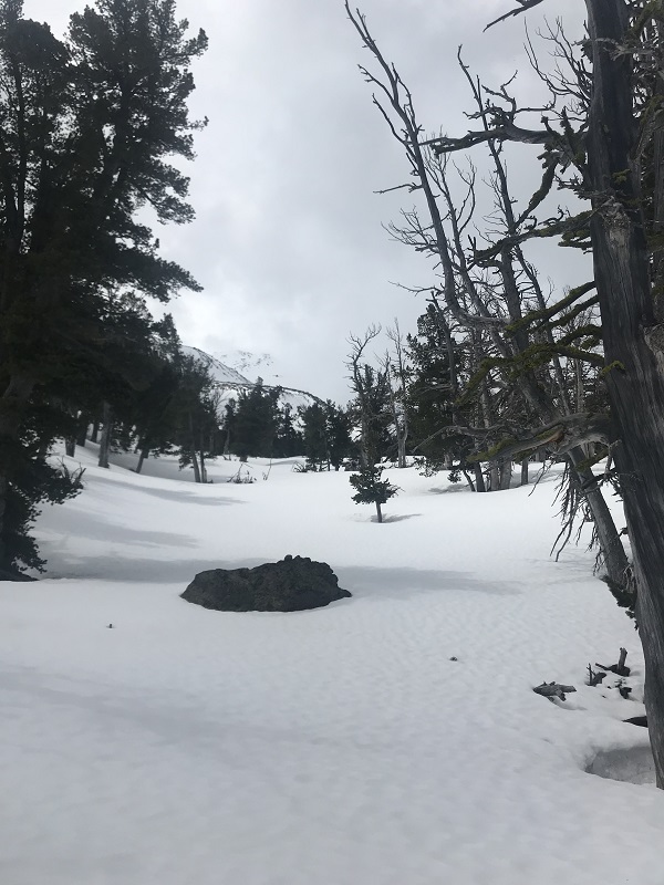
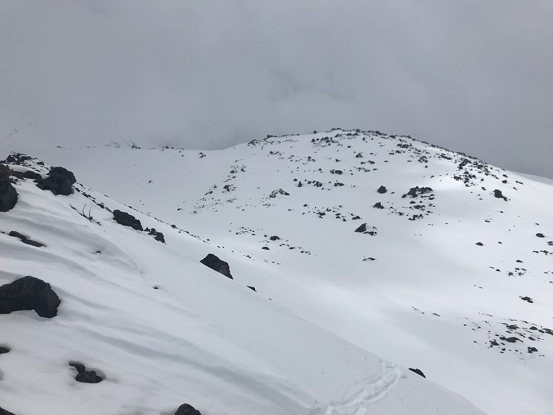
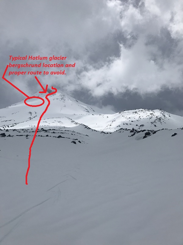
Below are several photos from a tour up to 10,000 feet on the Hotlum/Bolam route, via the Northgate trailhead. This trailhead is accessed via highway 97. Military Pass is still closed due to snow, so the southerly approach via highway 89 is not possible at this time. The Northgate trailhead road from 97 is rough. If you have 4wd, you will be able to make it to the trailhead proper. A few snow drifts exist that one can bust through with a truck or comparable vehicle. A car will likely have trouble and one might have to park .5 miles or so shy of the trailhead. A good bit of snow still exists over on the northside and one can get on snow not to far from the trailhead. Snow conditions have been very soft lately with freezing levels near 10-11,000 feet. Mushy snow demands the use of randonee skis, split-board or snowshoes. Otherwise, arduous post-holing is likely. The Hotlum/Bolam route looks like it's in good shape. Snow coverage on the route is good. The classic bergschrund that has caused issue for climbers in the past is completely bridged over now. As the spring/summer wears on and the snow bridge melts, sags and becomes thin, this will become a more important feature to avoid. (illustrated photo below)
Camping for this route usually occurs around 9,700 feet on the bench below the main route. Usually there is running water, but not at this time. The northside can become blasted by north winds. Always check the weather and wind forecast before attempting this route. Also remember that the trail from the trailhead to treeline is almost entirely covered in snow right now. Many climbers become lost when descending back to their car. Carry proper navigation tools and know how to use them. Using a GPS or your phone? The most common occurrence for lost climbers is dead batteries in their phone or GPS. Carry an extra charging stick and keep it in a warm place.
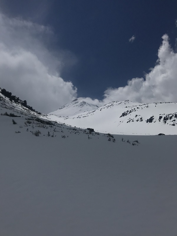
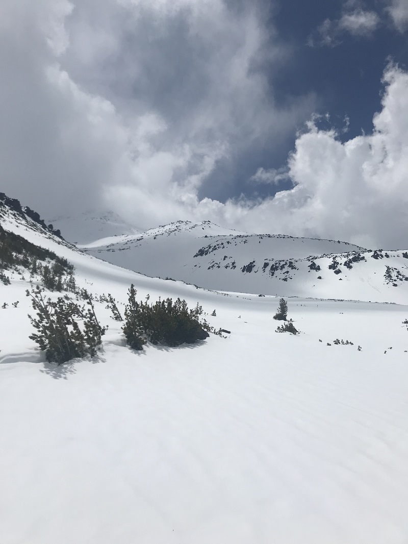
The photos below show the approach and view from near and just above treeline. Inclement weather including spring snow storms and afternoon rain, lightening and thunder storms have prevented most successful summit attempts as of late. For more details on this route, feel free to call the climbing ranger office at 530-926-9614 or the always available and helpful front desk personnel at 530-926-4511.