You are here
Summit via Helen Lake and Red Banks
General Conditions
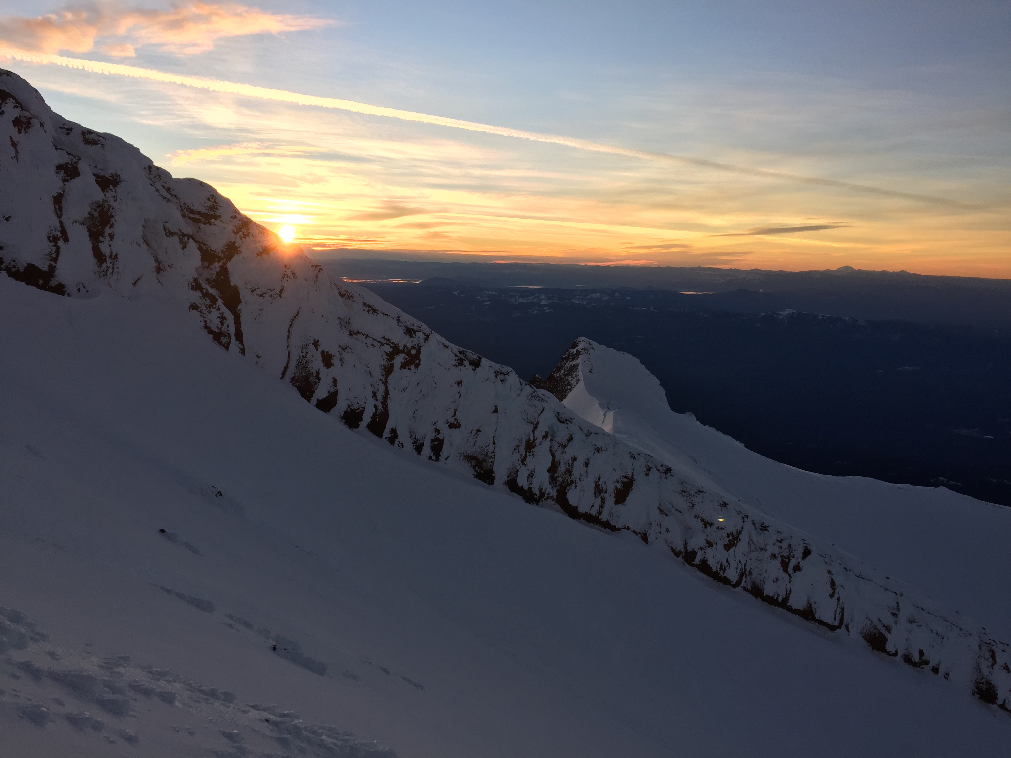
Sunny but windy conditions at Helen Lake from late night Saturday to Sunday. It was still windy at the time we left around 1PM Sunday. We had to be careful about walking around the camp after dark and for our summit climb as it was very icy.
Approach (especially early morning) from The Heart and conditions at the chutes of Red Banks can make the route finding challenging and also dangerous. The Konwakiton bergsrchurnd is wide open and it extends towards the left to base of "short hill" and very much the full length of the Red Banks. Icy chutes have to be checked and evaluated before trying the approach from this direction.
Descent during daylight via this route requires attention as well, but it might be safer and depends on visibility. At the base of "short hill" stay on the Red Banks and make sure the bergschrund is on your left, examine and evaluate the chutes and the place it takes you before you descend one of them.
Approach via the left end of the Red Banks leading to the base of the Misery Hill is recommended for alpine start summit climbs. Collapsed cornice brought some debris down on the couloir and made icy patches. Might be an option for your descent, but falling ice and rock during a sunny day such as Sunday was can make it dangerous.
Very windy conditions and cold on the Summit plateau. Route to the summit from the plateau is not very clear, snow covered by icy debris. If the sulfur spring is on your left, it is the right spot to start your climb up to the summit pinnacle.