

You are here
Trailhead Access Update
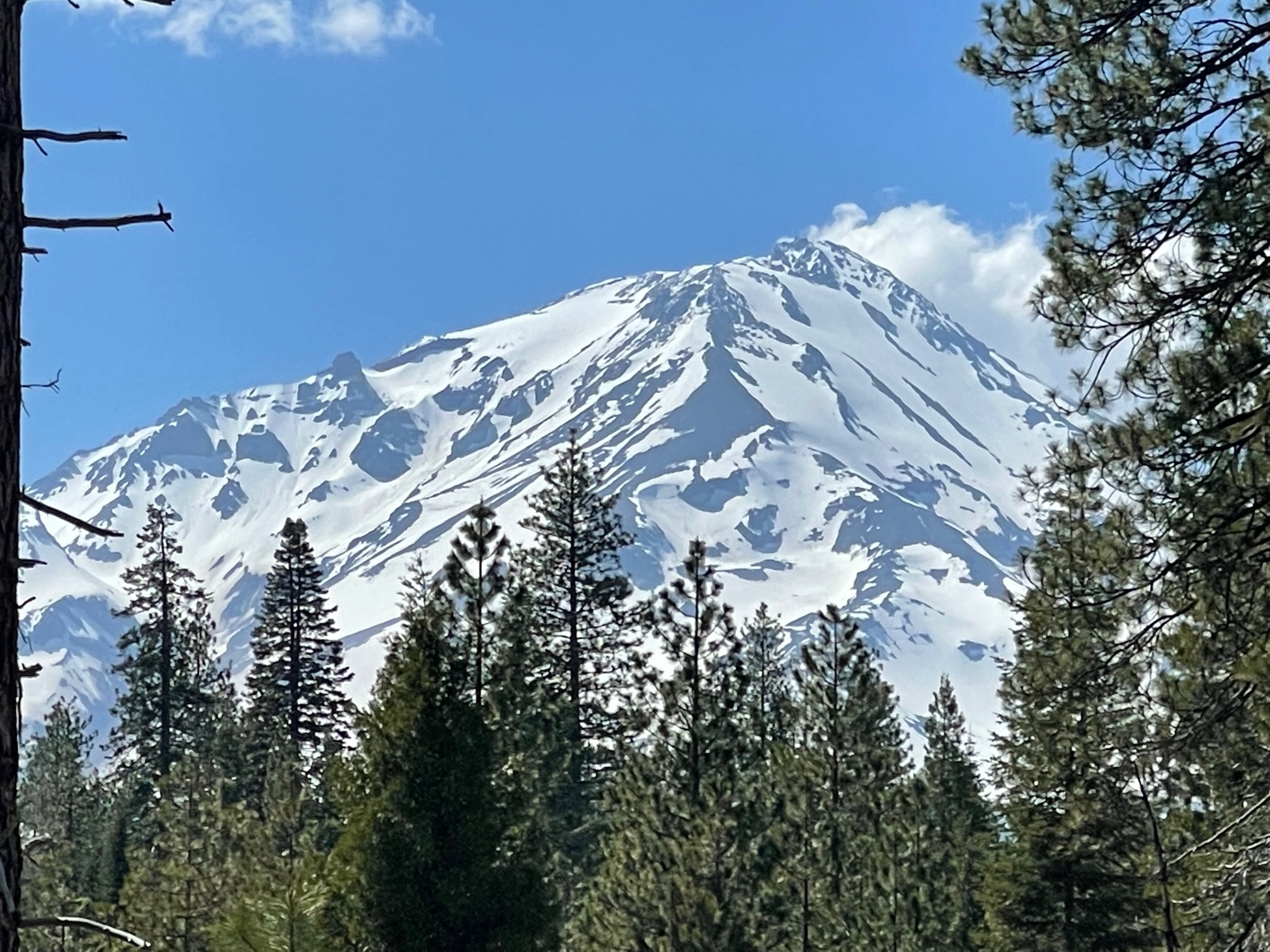
General Conditions
Trailhead Access Update as of 5-18-23
Ample snow still exists above 5,000 feet elevation on/around Mount Shasta. While it's melting fast with the warm temps, many miles of snow covered roads prolong access to backcountry wilderness trailheads. Bunny Flat is the only open trailhead at this time. It is plowed to this trailhead year-round. This is the most popular trailhead and accesses all south and west side routes. On weekends, Bunny Flat is a busy place. If the parking lot is full, park single file down the east side of the Everitt Memorial Highway. Maintain two-way traffic in and out of Bunny Flat. DO NOT park on the west side of the road. Not only will you block traffic flow, you may get a boulder into the side of your vehicle from the exposed road cut above.
For all other trailheads around Mount Shasta, you may still access if you wish, but your summit pass, wilderness permit and wag bags must be attained at the Mt Shasta or McCloud Ranger Stations. Self-serve climber kiosks have all your necessary items and are available 24/7/365. For annual summit passes, you must purchase at the Mt Shasta Ranger Station or The Fifth Season during business hours.
TRAILHEAD ACCESS - 5.18.23 - Distances listed below represent the mileage remaining to the trailhead, blocked by snow. Roads are often patchy at lower elevations, becoming more consistently covered as elevation is gained. A snowmobile could be used, but expect patches of dirt riding.
Clear Creek - 7 miles
Brewer Creek - 16.5 miles via the Highway 89 approach. From Highway 97, Military Pass is still closed, which leaves a similar distance to the TH.
Northgate - 2.5 miles
Old Ski Bowl - 3 miles
Sand Flat - 2 miles


