

Yesterday, MSAC forecasters assisted with a Forest Service snowmobile class out at Pilgrim Creek Sno-Park. Believe it or not, snow is still holding out along the Tri-Forest Snowmobile Trails and access via Pilgrim Creek is good. The trails are snow covered, but barely in some areas. Active grooming operations have been taking place. Go get some wind in your face, take a run or walk on the firm snow in the morning, or skate ski on fresh groomers as snowmobile traffic has been light. The Deer Mountain side is free of snow past Pomeroy Creek. The Trout Creek and Ash Creek loops are groomed, as well as Military Pass. Average snow depth is 1-3.5 feet, depending on aspect. Southerly aspects are really starting to melt out. Rocks, stumps, trees and logs are beginning to show. Remember to take the Esperanza road if heading out there. The Pilgrim Creek road and Mud Creek crossing section is still closed.
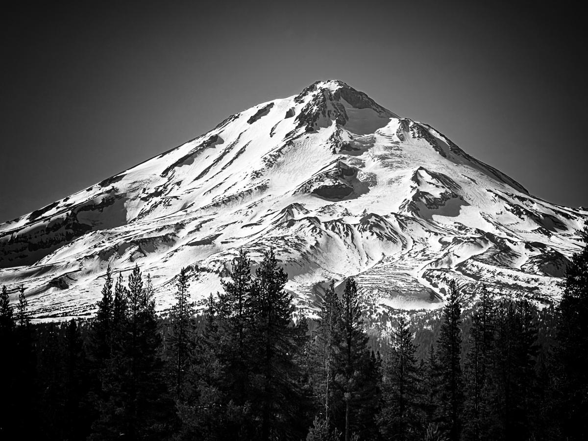
Mt. Shasta's east side, view from Jackrabbit Flat. 2.10.22 [Photo: N Meyers]
Snow surfaces are softening up by late morning to early afternoon. Smooth snow is hard to find. Climbing conditions are pretty good, but it's still rough up there. Climb early, wear a helmet, and keep your head up. Be prepared for icy slopes and overhead, falling rock and ice hazards. It's been high and dry since January 8th. On the mountain, surfaces are nothing close to smooth with wind, sun and dirt effects, and tracks. Ice and rockfall are the primary concern.
Dig into that tickle trunk and find some other toys. We've slowly watched sliding and riding equipment be replaced by boards (surf), boats, bikes, mopeds or motorcycles, because that is what's happening around here. If we don't get any more snow soon, winter recreation will have left the chat.
Keep your chin up and let that sun shine on your beautiful face, today is going to be a roasty toasty one. That pesky east/northeast flow will keep things warm, with light wind. It could be breezy over ridges and the upper mountain. High temps will test records in some areas. By Sunday, a ridge of high pressure will still remain over the area, keeping temperatures warmer than normal. We should begin a trend downwards as the overall flow turns more westerly Sunday afternoon. Confidence is decent that a closed low out of the Gulf of Alaska will bring light precipitation to the area on Monday and Monday evening. This would potentially end a dry spell of over a month. Yeesh.

