The "storm", if you would call it that, beginning yesterday morning has been underwhelming. In the late afternoon at Bunny Flat, only .25 - .5 inches of snow was measured. The pavement was wet and a skiff of snow was visible on the existing old and abused snowpack. It's a rough game out there currently. Yes, ski and snowmobile recreation is still possible, but user beware. Only the most passionate will find solace.
As of this morning, the Old Ski Bowl at treeline on Mount Shasta is reporting a current temp of 25° F degrees with 1 inch of new snow and a snow/water equivalent of .11 inches. The height of snow on Mt. Shasta is 58 inches. Wind has been variable out of the E-SE-S-SW-W-NW, averaging 5 mi/hr with gusts to 30 mi/hr. Temperatures averaged 28° F over the past 24 hours, with a low of 26° F and high of 30° F.
No avalanche problems have been observed in almost 2 months.
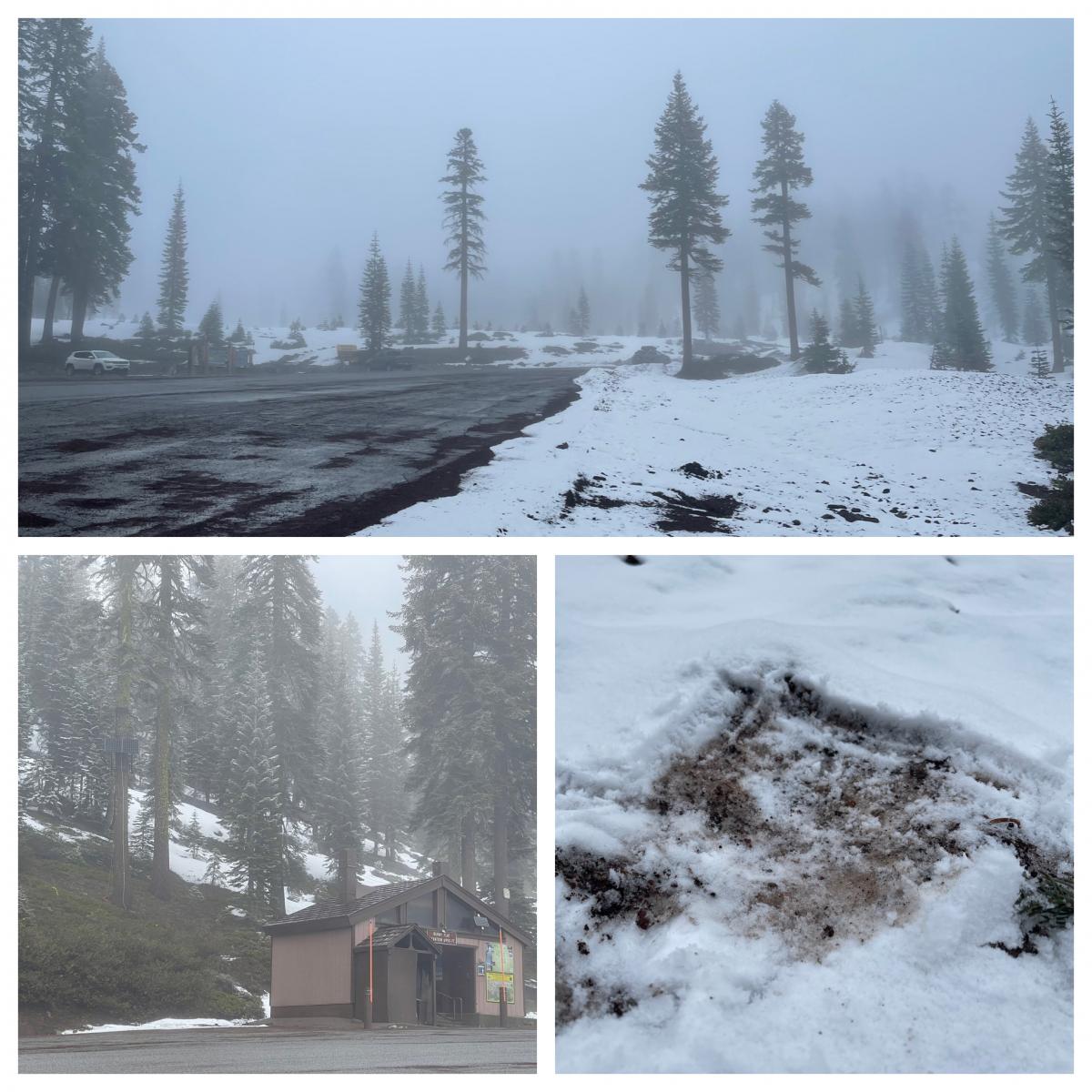
Bunny Flat area at 1600 hours on 3.3.22, just a trace of new snow. Photo: Meyers
Mountain Weather:
Another band of moisture is moving southeast toward the Oregon coast. Things should remain dry until later today. Precipitation will spread inland and we should see some light rain and snow by 4pm. Models are conflicting on how much we might get, but it seems that the brunt of the storm will be to our north. I'd expect perhaps a bit more than this first wave, but nothing very notable. Temperatures are dropping and snow levels will linger near 3,600 feet today and near town tonight and tomorrow. Northwesterly wind will turn up, so hang on to your hat near and above treeline. Tomorrow, the weather will clear out and dry conditions are forecasted for the weekend.
Today 7-8 Weather :
Snow showers, mainly after 4pm. Increasing clouds. Chance of precipitation 60%.