It was an unbelievable miracle. Mother Nature repaired the January 12th meltdown as quick as it came about. Rain on snow up to at least 8,000 feet turned to snow that night, and what ensued was nothing short of amazing. A fat foot, up to 13" of moist snow, fell upon the landscape during the AM hours of the 13th, literally covering up the rain on snow event like nothing happened. By noon, if you just arrived, you would have never known the destruction of the day past. Snowfall rapidly accumulated, tapering off by the late afternoon, but never ceasing. Snow levels fluctuated between 3,500 to 5,000 feet. None-the-less, a widespread rain crust of variable thickness exists beneath the moist, new snow. Below the crust, soft snow remains. It is still an upside down cake out there and yesterday, small loose-wet style point releases could be ski cut on steep slopes, sliding downhill and entraining more snow as momentum was gained. Slab properties were not great, moreover just moist, loose, wet snow sliding on top of the rain crust. All told, some column tests (ECT) were conducted resulting in full propagation (ECTP14) with moderate force, failing just below the rain crust on soft snow. The weight of today's new snow could reach the stress vs strength tipping point of the low density layer below the January 12th rain crust. Visibility continues to be very poor and backcountry travel difficult due to deep snow conditions.
Weather Station Data Round-Up - Last 24 hours...
Mount Shasta:
- Snow Depth: 151 inches at treeline
- New Snow: 12 inches
- Snow-Water Equivalent: 2.11 inches
- Wind: Min - 6 / Max - 42 / Avg - 12 / Dir - SSE
- Temp(°F): Min - 25 / Max - 29 / Avg - 27
Castle Lake - Mount Eddy:
- Snow Depth: 116 inches (Eddy)
- New Snow: 8 inches
- Temp(°F): Min - 28-31 / Max - 30-35 / Avg - 29-32
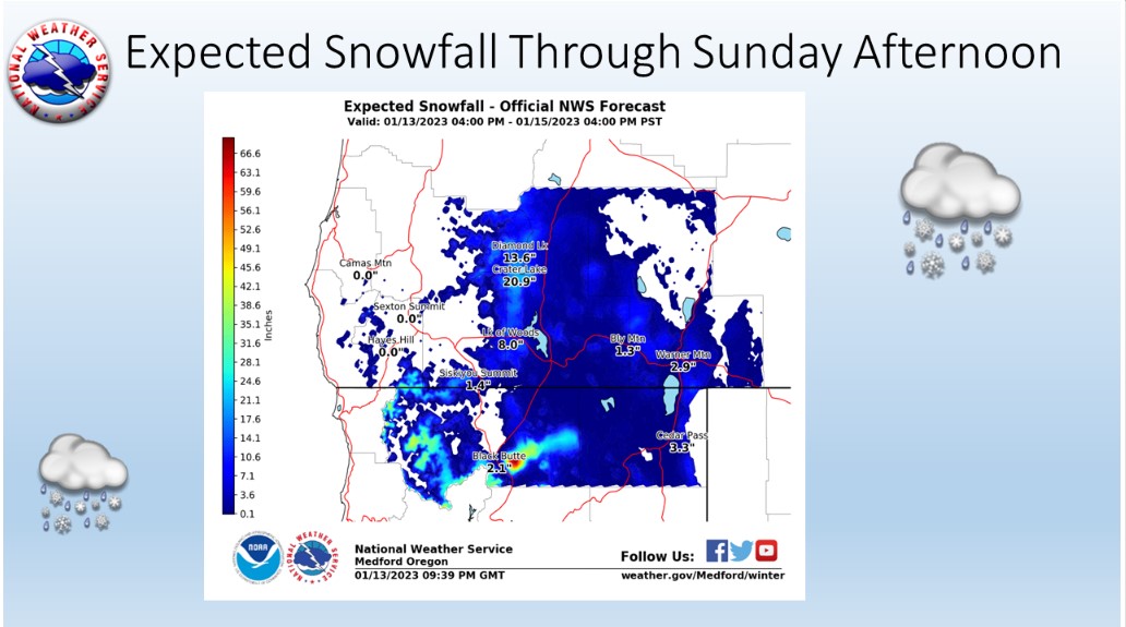
If you guessed more storms for the weekend, you're right! Pacific storm systems will bring heavy lower elevation rain, significant mountain snow and strong winds. Today through Sunday morning, models indicate precipitation totals of 1 to 3 inches (water) in western and southern Siskiyou County with snow levels around 5,000 feet this morning and lowering to 4,000 feet during the afternoon. Expect locally heavy snowfall accumulation across the mountains above 4,000 feet, over an inch an hour possible. South winds will strengthen this morning into early afternoon. Gusty winds will persist tonight. Showers will linger Sunday. Longer term, the flow finally appears to switch heading into Tuesday, with the upper level flow out of the west and northwest. High pressure will build across the region. This will result in some quieter conditions for the area in addition to valley fog.