A smidgen of wintry weather passed over the area yesterday, brining a quarter inch of water and an inch(ish) of new snow. Temperatures were chilly, averaging 17° F. Light snow fell to town. West - northwest wind was evident above treeline, averaging 11 mi/hr, with gusts to 36 mi/hr. Plenty of snow remains available for wind transport. The insane amount of snow from the January parade of storms continues to settle in. About 33 inches of settled snow sits on top of the January 12th meltdown crust. Old avalanche crown lines and huge settlement cracks along ridges and around trees continue to be observed. Southerly wind dominated throughout the storm series and loaded northerly aspects. This week, the weather pattern has shifted to a northerly flow. This has redistributed snow onto southerly aspects. None-the-less, huge cornices remain along ridges facing the north half of the compass. A couple wind slab avalanches have been observed on east and southeast aspects on Ash Creek Butte from the recent round of north wind. A few weak layers (density changes) within the recent storm snow have been observed, but unlikely to fail on a slope scale. All focus has been on freshly formed wind slabs.
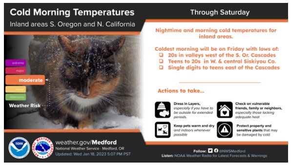
An upper trough that brought chilly temperatures and a bit of snow to the region yesterday is shifting east. Northerly flow and a colder air mass move in. North wind will blow 30 to 40 mi/hr above treeline today. Wind speeds will be less near and below treeline. The cold air will get along Friday, bringing warmer temps for the weekend. Over the coming days, clear weather will dominate. A few disturbances in the upper level ridge will disrupt the development of a stagnant air pattern, but won't bring any significant weather.


