

Over the last 24 hours on Mount Shasta, winds have been moderate out of the W/NW. Temperatures are balmy, with a low of 42 °F and a high of 53 °F. The height of snow at the Old Ski Bowl is 20.5 inches (53 cm) and we've observed very little settlement.
October and early November precipitation brought a solid base of snow to Mount Shasta. Even with warmer temperatures, that base still lingers above treeline. Mid-week, snow depth was 14 in (35 cm) at 8,000 ft and 32 in (80 cm) at 9,000 ft. One must walk with recreational equipment approximately .25 to .5 mile before consistent snow is found on the mountain, ~ 7,500 feet. Sunny, sheltered, southerly facing slopes have melted out.
Snow surfaces are pretty smooth, though expect areas of wind textured, variable snow above treeline. Slide-for-life, firm conditions exist up high. Be leery of hidden obstacles if snow becomes soft. There are plenty of visible obstacles as well. Skiing conditions have been spring-like, with the snow softening in select areas during the warmest hours of the day. A few have reported some fun turns!
Climbers should be prepared for falling ice and rock. A handful of climbers have been summiting with success.
There is no usable snow at Sand Flat for cross-country skiing. The road above Bunny Flat is closed and free of snow for ~1 mile. Snowmobiling from Bunny Flat is not possible. There is no snow at Castle Lake and the lake is not frozen. In the Eddies, there is little to no snow for recreation.
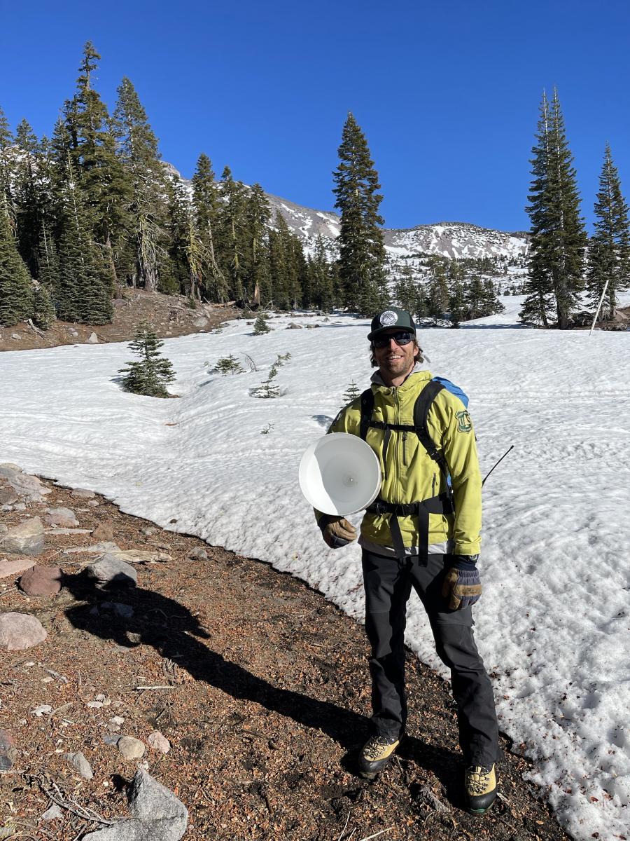
Ryan Lazzeri, new MSAC forecaster, up for some weather station maintenance in the Old Ski Bowl, yesterday 12.03.21

Until Mother Nature decides to flip the winter switch back on, it's going to be more of the same: sunny days and cool nights, brought to you by high pressure exerting its influence over the area. Valleys will see some air stagnation. A strong temperature inversion is present this morning, with a 12 degree difference from Mt. Shasta City (30° F) to treeline on the mountain (42° F). Most notably for the near future will be an increase in wind out of the west/northwest. Expect increasing wind beginning this afternoon and into Monday. Above treeline and upper mountain winds could reach speeds of 50+ mi/hr. Wind chill will be a life-threatening factor for unprepared climbers. Daytime high temps will remain in the mid 30s for the next two days, beginning to cool off next week. At this point, the late Sunday/Monday storm looks underwhelming, but we will take anything!

