

It has been very tranquilo this week with daily air stagnation advisories, inversions, clear and cold nights and beautiful sunny days. Not complaining...wait, yes we are. More snow, please!
- Over the past 24 hours, temperatures have ranged from 30 to 44 F at 8,000 feet on Mt Shasta. In town, 15 to 36 F
- Wind calm and variable to light, easterly
- Snow depths: Mt Shasta ~56" / Castle and Eddy Mtns ~38" / East of Mt Shasta ~55"
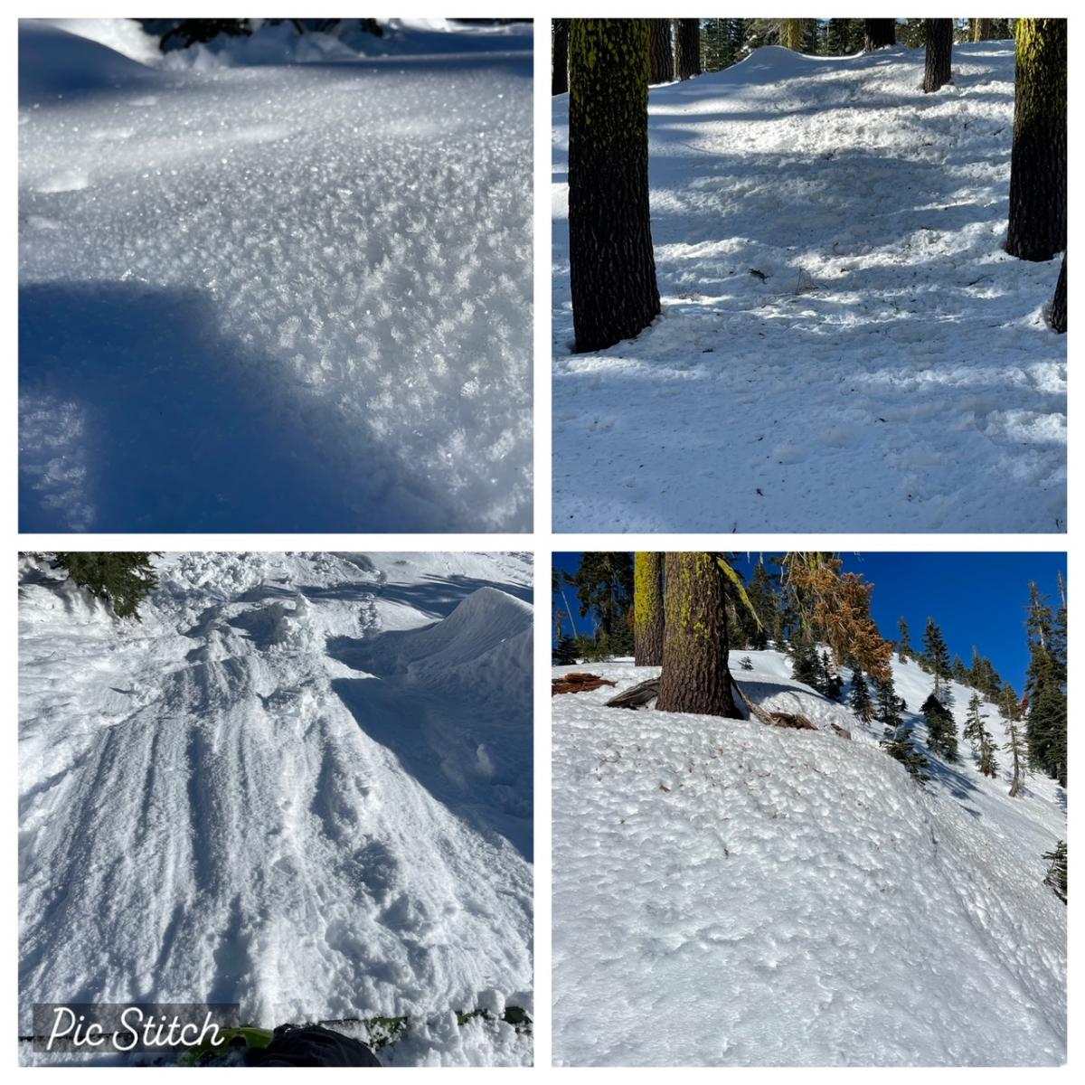
- Small, greasy loose-wet avalanches were observed on steep, protected, sunny southeast facing aspects below treeline yesterday. These slides were not big enough to bury anyone
- Soft snow is becoming harder to find, but possible on those shady aspects
- Snow below trees is a frozen, chunky, bomb crater disaster
- Above treeline, wind packed powder, crusts and wild sastrugi features will be found
- Surface hoar widespread below treeline in low-lying drainages
Any climbers out there? Undoubtedly, the high pressure and low avalanche danger has lured a few into the possibility of climbing the mountain. The main crux for climbers is still soft, unconsolidated snow. Skis, split board or snowshoes are mandatory to prevent arduous post-holing. When the terrain becomes too steep to skin, that's where the real work begins. Two days ago at 10,000 feet on Green Butte Ridge, even a week after the storm, I sank in calf deep. So...climbing is possible, the weather is nice, the avalanche danger low...but the post-holing situation is extreme! Remember too, the days are short, the nights are cold and the wind chill factor on the upper mountain can be severe. A winter climb of Mt. Shasta is a different beast. Be prepared.
A ridge of high pressure bringing us clear, cold nights and dry, stagnant days will begin to weaken. Still, we will experience much of the same for the next few days. Inversions have been the norm. Temperature spread between town and in the mountains has been 5-10 degrees warmer. The wind, once again, light and variable. If it wasn't winter, we'd probably be stoked on the current weather pattern. Longer term, Monday will be dry, but unsettled weather returns Tuesday as an upper trough sinks south into northwest Washington. This setup typically favors areas north of us like Crater Lake, but we're not looking a gift horse in the mouth. More updates as the time draws near!
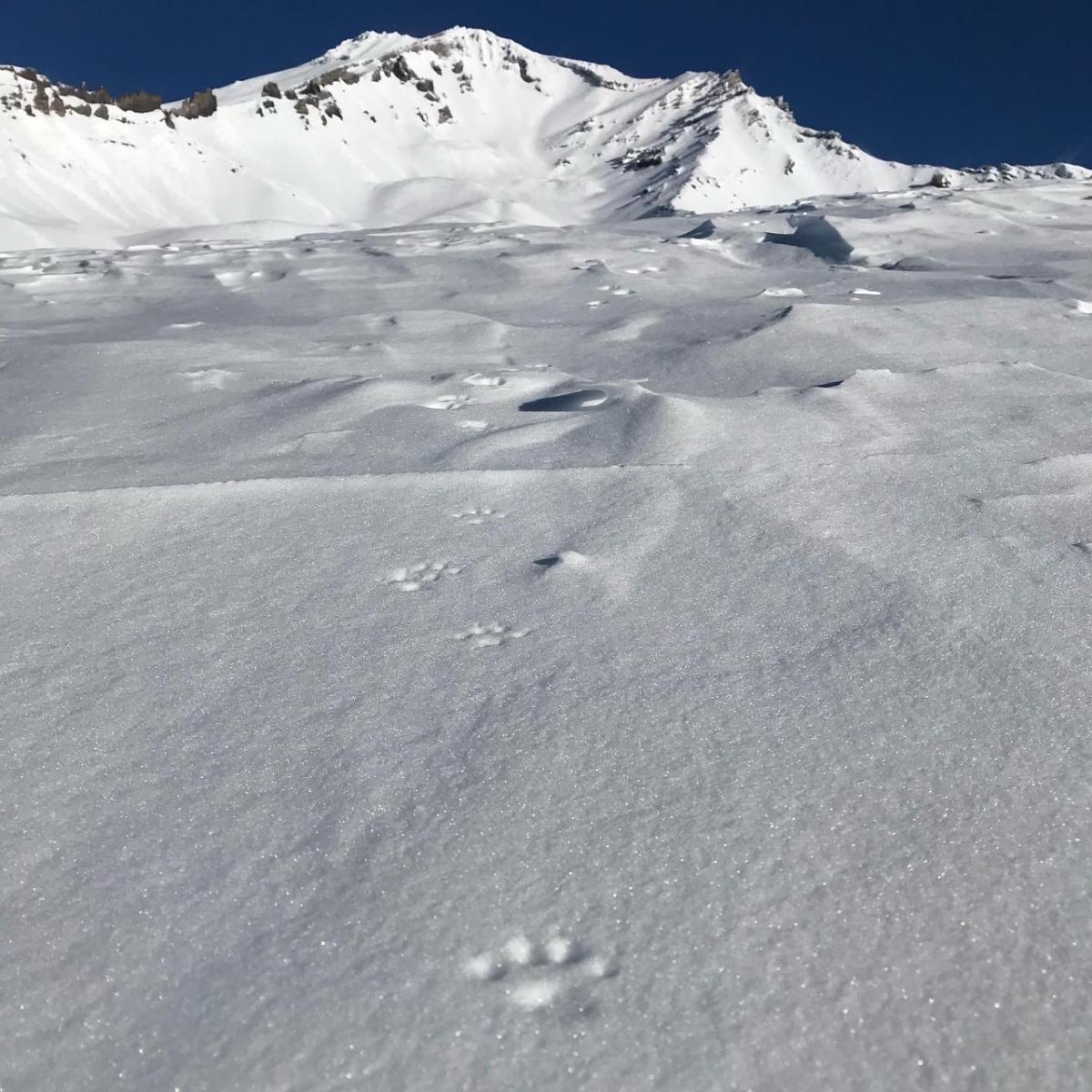
Pine Marten tracks in Avalanche Gulch / Photo: J Koster

