Sliders and riders have been exploring plenty of terrain lately, with no new avalanche activity reported or observed. Most notable yesterday was gale force north wind that picked up midday. Over the past 24 hours, northerly wind has averaged 23 mi/hr with gusts to an impressive 110 mi/hr at our Gray Butte weather station at 8,000 feet. Spin drift could be seen spooling off ridgelines on Mount Shasta. Skiers in the Eddy Mountains noted the strong north wind as well. Snow conditions are becoming more variable as these sunny days persist. Crusts and powder are the main surface conditions below and near treeline. Crusts will exist mainly on southerly facing slopes. Nice powder can still be found in protected areas. Wind affected snow is the daily special above treeline. In general, the snowpack is deep and stable. Temperatures have ranged from 22° to 34° F in the last 24 hours, with no new snow. Snow on the ground near treeline measures ~147 inches.
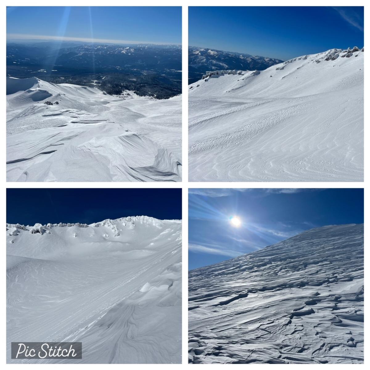
Clockwise from top left: 10k ft on Green Butte Ridge looking south / Avalanche Gulch, 50/50 Flat, Casaval Ridge / Widespread wind textured snow above treeline / Upper Avalanche Gulch [Photos: N Meyers on 01.20.23]
An upper ridge is building just offshore. Northerly flow will mean chilly low temperatures and areas of freezing fog in sheltered valleys. Over exposed, high terrain, wind will be breezy. High pressure remains the dominant pattern for most of the week, hosting clear, dry weather. Daytime high temperatures will warm. Nocturnal inversions could persist through the days with poor mixing. A pattern change is possible at the end of the week, though timing varies. This would lead to a return of a wetter, colder weather pattern.