Crisp, clear, blue sky days with periods of north wind have been the daily driver. We've received no new snow since January 18th. Over the past 24 hours, temperatures have averaged 41° F, with a low of 35° and high of 50°. Wind has blown predominantly out of the WNW, averaging 6 mi/hr with gusts to 36 mi/hr. No red flags of avalanche danger have been observed and no reports of avalanches have come in since Monday, January 23rd. The snowpack across the forecast area is wind hammered and variable. Soft snow can still be found below treeline in select areas, maybe. Yesterday was quite nice, sunny but cool, with windy conditions over exposed terrain, above treeline. We're in a holding pattern until more snow arrives. Most have shelved their skis and sleds for now. Despite terrain that is scoured to rock on the north, west and east sides of the mountain, the height of snow measures about 13 feet at 7,800 feet on the south side of the mountain, Old Ski Bowl weather station.
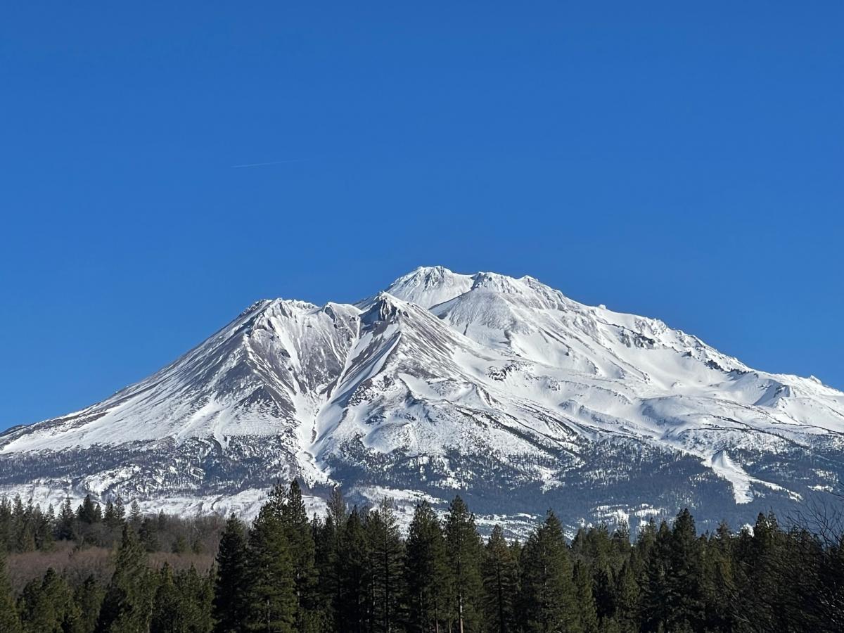
Photo: The west side of Mount Shasta and Shastina, Diller Canyon left-center / Meyers - 01.26.23
A weak cold front approaches the region this morning with northwest flow. No precipitation is expected, just chilly temps and wind. Expect to see a few mid and high level clouds. High temperatures will be in the mid 30s to lower 40s. North wind will blow 10-15 mi/hr, with gusts to 40+ mi/hr. A stronger shortwave will drop in Saturday afternoon and night, bringing a chance of precipitation to areas to the north of Mount Shasta. For us, a surge of cold, arctic air and wind are the highlight. Wind chill impacts on the upper mountain will be significant.