Submitted by efalconer on Wed, 02/01/2023 - 5:59am
Recent Observations:
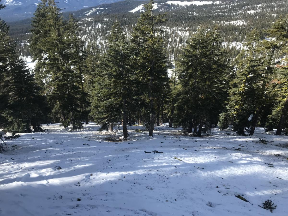
When snow falls again, it will fall onto various slick and firm bed surfaces. During a tour near Gray Butte yesterday, I encountered highly variable surface conditions, some of which were more difficult than others. Forested areas presented the main crux, with many changing obstacles to navigate. Open exposed southerly slopes were the most friendly. Below and near treeline, winds were calm with notably warmer temperatures.
Mountain Weather:
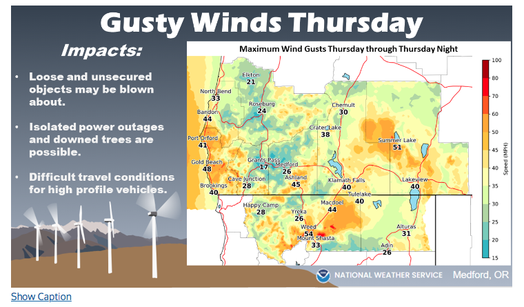
Another brisk morning is upon us with temperatures looking to rebound into the upper 30s at 6,000 feet. Over the next 24 hours winds will shift from northwest to south-southwest with the approach of this low-pressure system. High elevation clouds will build overhead in tow of the next round of storm systems, the first of which will make landfall late Thursday. High winds around valley floors look to be associated with the start of this storm.
Today 7-8 Weather :
Partly sunny, with a south wind. Freezing level 8,200 feet
Today 7-8 Wind Direction:
S
Today 8-9 Weather:
Partly sunny. Windy, with a southwest wind with gusts as high as 50 mph. Wind chill as low as -3
Today 8-9 Wind Direction:
SW
Tomorrow 7-8 Weather:
Mostly cloudy, with a south southeast wind. Gusts as high as 38 mph. Freezing level 6,700 feet
Tomorrow 7-8 Wind Direction:
S
Tomorrow 8-9 Weather:
Partly sunny. Windy with a south southwest wind with gusts as high as 65 mph. Wind chill as low as -7
Tomorrow 8-9 Wind Direction:
S
Tonight 7-8 Weather:
Partly cloudy, with a southeast wind. Gusts as high as 24 mph. Freezing level 8,000 feet
Tonight 7-8 Wind Direction:
S
Tonight 8-9 Weather:
Partly cloudy. Breezy with a south southeast wind with gusts as high as 41 mph. Wind chill as low as -2
Tonight 8-9 Wind Direction:
SW
22
16
42
27
100
0
0
19
19
23
21.5
145
0
0
Grey Butte Temp Cur:
32.5
Grey Butte Temp Min:
30.5
Grey Butte Wind Gust Max:
24.54
Castle Lake Temp Max:
43.5
Mount Eddy Temp Min:
22.5
Mount Eddy Temp Max:
43.5
Mount Eddy Wind Gust Max:
4.93
Mount Eddy Snow Depth:
100.2
Ash Creek Bowl Temp Cur:
27.5
Ash Creek Bowl Temp Min:
22
Ash Creek Bowl Temp Max:
40
Ash Creek Bowl Temp Avg:
29.5
Ash Creek Bowl Snow New:
57.8
Ash Creek Ridge Temp Cur:
32.5
Ash Creek Ridge Temp Min:
26
Ash Creek Ridge Temp Max:
39
Ash Creek Ridge Temp Avg:
32
Ash Creek Ridge Wind Cur:
2
Ash Creek Ridge Wind Max:
9.5
Ash Creek Ridge Wind Gust Max:
14.61
Ash Creek Ridge Wind Avg:
S
Mt. Shasta City Temp Cur:
22
Mt. Shasta City Temp Min:
16
Mt. Shasta City Temp Max:
47
Mt. Shasta City Temp Avg:
30
Mt. Shasta City Wind Cur:
3
Mt. Shasta City Wind Min:
0
Mt. Shasta City Wind Max:
6
Mt. Shasta City Wind Avg:
1
Mt. Shasta City Wind Avg:
N
Ash Creek Ridge Wind Min:
2
Ash Creek Ridge Wind Avg:
5.5
Sand Flat Snow Settlement:
0
Ski Bowl Snow Settlement:
1
Mount Eddy Snow Settlement:
0.9
Ash Creek Bowl Snow Settlement:
0
Measured Precipitation Oct:
25.88
Normal Precipitation Oct:
18.11
Percent Precipitation Oct:
143
Measured Precipitation MTD:
16.75
Normal Precipitation MTD:
5.87
Percent Precipitation MTD:
285
Measured Precipitation YTD:
16.75
Normal Precipitation YTD:
5.87
Percent Precipitation YTD:
285
Tomorrow Wind Max 7-9:
25
Tomorrow Wind Min 7-9:
15
Tonight Wind Max 9-11:
30
Tomorrow Wind Max 9-11:
45
Tonight Wind Min 9-11:
20
Tomorrow Wind Min 9-11:
35
Tonight Snow Max 7-9:
0.00
Tomorrow Snow Max 7-9:
0.00
Tonight Snow Min 7-9:
0.00
Tomorrow Snow Min 7-9:
0.00
Today Snow Max 9-11:
0.00
Tonight Snow Max 9-11:
0.00
Tomorrow Snow Max 9-11:
0.00
Today Snow Min 9-11:
0.00
Tonight Snow Min 9-11:
0.00
Tomorrow Snow Min 9-11:
0.00
Weather Station Discussion:
The table below summarizes data reported from all of our weather stations over the last 24 hours.
Seasonal Stats Discussion:
The wet season is October 1 through May 1. The table below summarizes recorded vs. normal precipitation amounts for the City of Mount Shasta.
Overall Danger Rating:
Low


