










You are here
Clear Creek
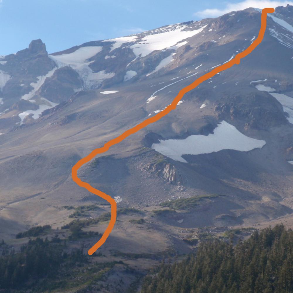
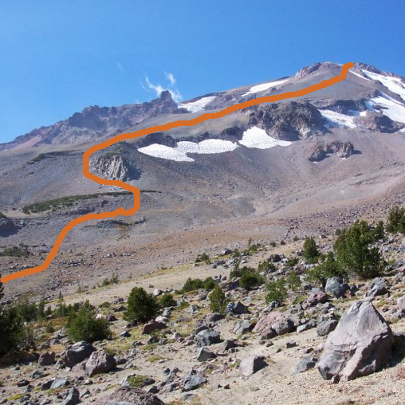
The Clear Creek route is Mt. Shasta’s easiest route to the top. That being said, “casual day syndrome” can lead one off course and into steeper, glaciated, and/or rock fall prone terrain. The climb starts at the Clear Creek trailhead beneath towering old growth Red Fir. The hike gains elevation along the ridge above the cavernous Mud Creek Canyon. Some fault the route for its loose ash, scree and gravel surface during the summer and fall. We consider it reason to take your time, and to enjoy the scenery and geology. As you climb, you'll enjoy views of the Konwakiton Glacier and Mud Creek Canyon, Wintun Glacier and a huge expanse of California. Ample camping options and spring water are available at 8,600 feet. Please camp at least 200 feet from the spring head and creek and do not step on the fragile plant ecosystem. The beautiful foliage only has a short season to do its thing! The lower 75% of the route is a moderate hike. The last portion of the route turns into easy scrambling and mountaineering style climbing. A rock bulge blocks the ridge top above "mushroom rock". For this section, it is "choose your own adventure": you can climb left, right or straight up depending on conditions, snow cover and comfort level in the terrain. Remember that lines on a map are strictly ROUTES and NOT TRAILS. Be careful skirting right or left as these routes can be on snow/ice and a slip/fall has consequences. Once you've crested the bulge, mark this spot on your navigation device. Descending the route in the correct location is very important. Overall, this route offers fantastic views of Mt. Lassen, Konwonkiton Glacier, Mud Creek Canyon, and the Wintun Glacier. It’s a long climb, so start early. It may not test your technical skills, but it will test your stamina. Those of strong mind and body can do the Clear Creek route in a day, but most should plan a delightful two, or even three day trip.