You are here
07-30-2015-Avalanche Gulch
General Conditions
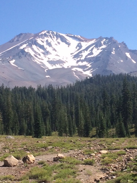
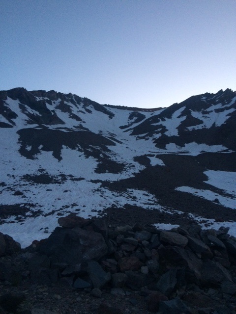
We are going to go ahead and say that this route is in poor shape right now. Some have argued against our information before stating that, "there is still snow on the route, looks good to me!"... Keep in mind we are considering the season in its entirety, from the absolute best conditions to the absolute worst. If you look at it in that respect, then we feel our interpretation of the conditions is pretty darn good. Typically August until winter marks the start of poor conditions and this year is no exception.
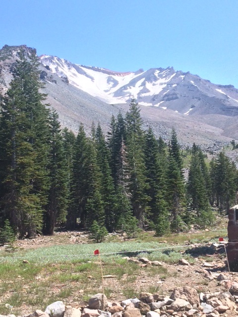
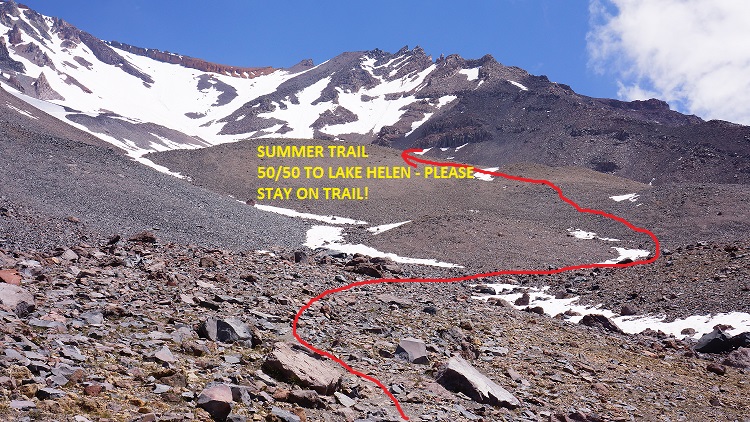
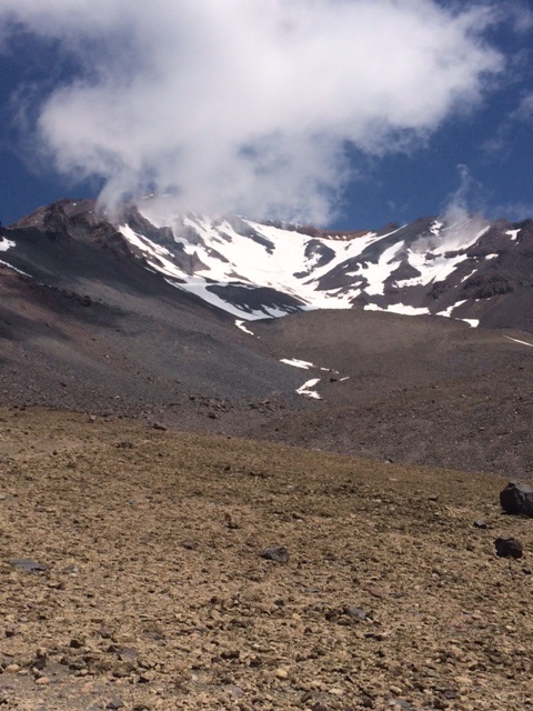
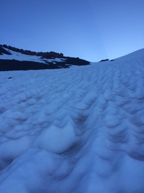
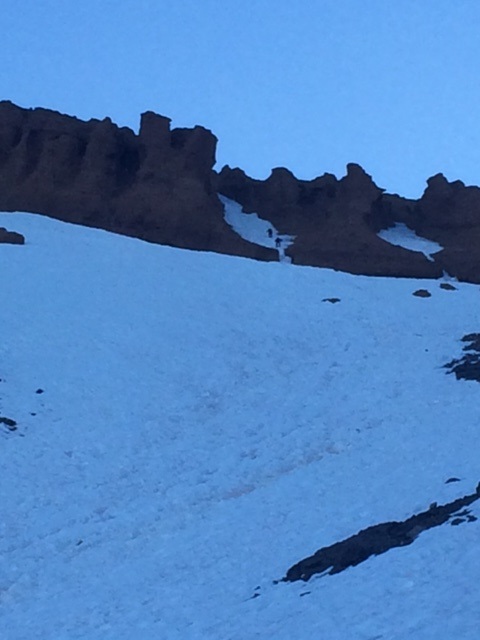
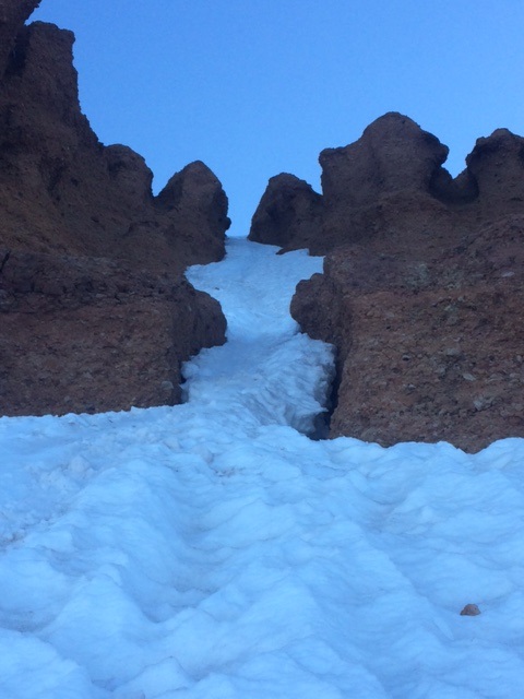
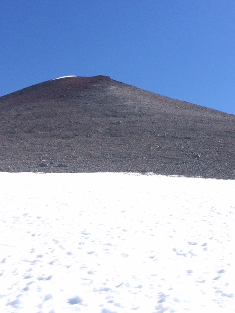
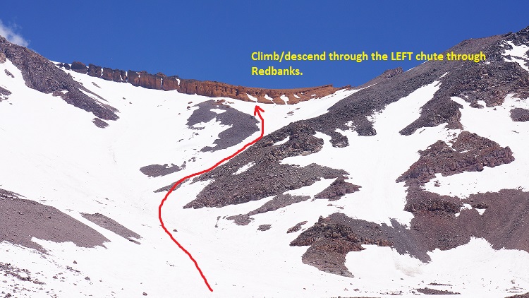
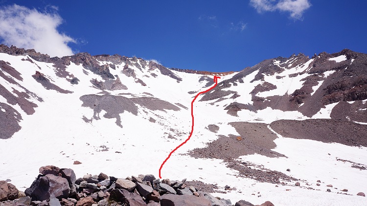
Outfitter guide services have stopped guiding trips on this route. Rangers and public reports of rockfall are numerous. Regardless, if you still choose to climb YOU NEED: Crampons, Ice axe and a helmet and know how to use them!! The lower mountain is melted out and the summer trail is exposed to Lake Helen. There is no running water at Lake Helen so bring extra fuel to melt snow. On occaison, pools of meltwater are available. There are both dirt and snow camping sites for a tent. If all dirt sites are taken (unlikely), one must camp on snow. Do not create new sites. Skiing is done on this side of the mountain. The snow is firm and supportable in the morning hours and soft and slushy in the afternoon. Loose wet slides are a possibility during the warmest portion of the day due to high freezing levels/warm temps. Misery Hill is melted out. DO NOT glissade through Redbanks and take off your crampons when you do decide to glissade. Control your speed!! PLEASE, wear a helmet and limit your exposure to rock and ice fall by moving laterally out of the fall line as you climb. Always keep an eye above for rock fall, and yell "ROCK!" if you see one to warn other climbers below you. The best route through Red Banks right now is up and through the LEFT snow filled gully/chimney located just right of the center of the Red Banks. The middle and right chutes are melted out. Climbing toward The Thumb and around the far right end of the Red Banks is an early season route alternative and longer variation that exposes one to the partially snow bridged bergschrund at the top of the Konwakiton Glacier. This route is currently NOT recommended. The bergschrund has started to gape open along parts of its length. The snow bridged portions will only get weaker and become soft in the afternoon. Don't fall through here... simply take the other route mentioned. Again, DO NOT glissade through the Red Banks...keep your crampons on, down climb through this area, and then assess the glissading conditions below. Before attempting to glissade make sure the snow is SOFT, take off your crampons, and use your mountain axe to control your speed!
CAMPING AT LAKE HELEN: PLEASE keep a clean camp...PACK OUT ALL micro trash, food scraps, coffee grounds, leftover pasta, you name it...please pack it out...Rangers take this VERY SERIOUSLY and so should you! Thousands of climbers camp here annually and it takes each of us to keep it clean. If you love what the mountains give you, then show them respect by packing out EVERYTHING and LEAVE NO TRACE. Keep it looking pristine for those that will visit after you, and for the preservation of WILDERNESS! Secure your tent and belongings well when you leave for the summit. Wind, ravens and the resident pine marten will spread your gear far and wide if it is left unsecured. If your stuff is zipped up and stowed away well within your tent, you shouldn't have a problem. We have not had any issues with critters chewing through tents to get into stored food. SANITATION: Please urinate on the far EAST side of Lake Helen, AWAY from all camps. Use your pack-out bag over in this area as well. DO NOT urinate in the general camping area! Snow must be melted for water and we recommend treating it one of three ways: iodine, boil, or filter. Water is running at the spring at Horse Camp. The toilets are OPEN at Horse Camp also. Pack-out bags are mandatory for removing all solid human waste on the mountain. Pack-out bags are available at Bunny Flat.