

You are here
Southside: Avalanche Gulch - Green Butte/Sargent Ridges - Old Ski Bowl

Location Name:
Southside Mount ShastaRegion:
Mt. ShastaDate and time of observation:
Fri, 02/14/2020 - 2:30pmObservation made by:
ForecasterLocation Map
96067
Mount Shasta
, CA
United States
41° 22' 56.0856" N, 122° 12' 30.8124" W
See map: Google Maps
California US
Snowpack Observations
Details
Photos
Weather Observations
Statistics
Cloud Cover:
ClearBlowing Snow:
NoPrecipitation:
NoneAccumulation rate:
NoneAir temperature:
Above FreezingAir temperature trend:
CoolingWind Direction:
Northwest

DATE: February 14, 2020 (20200215)
TIME: 1430 hrs
OBSERVER: Meyers
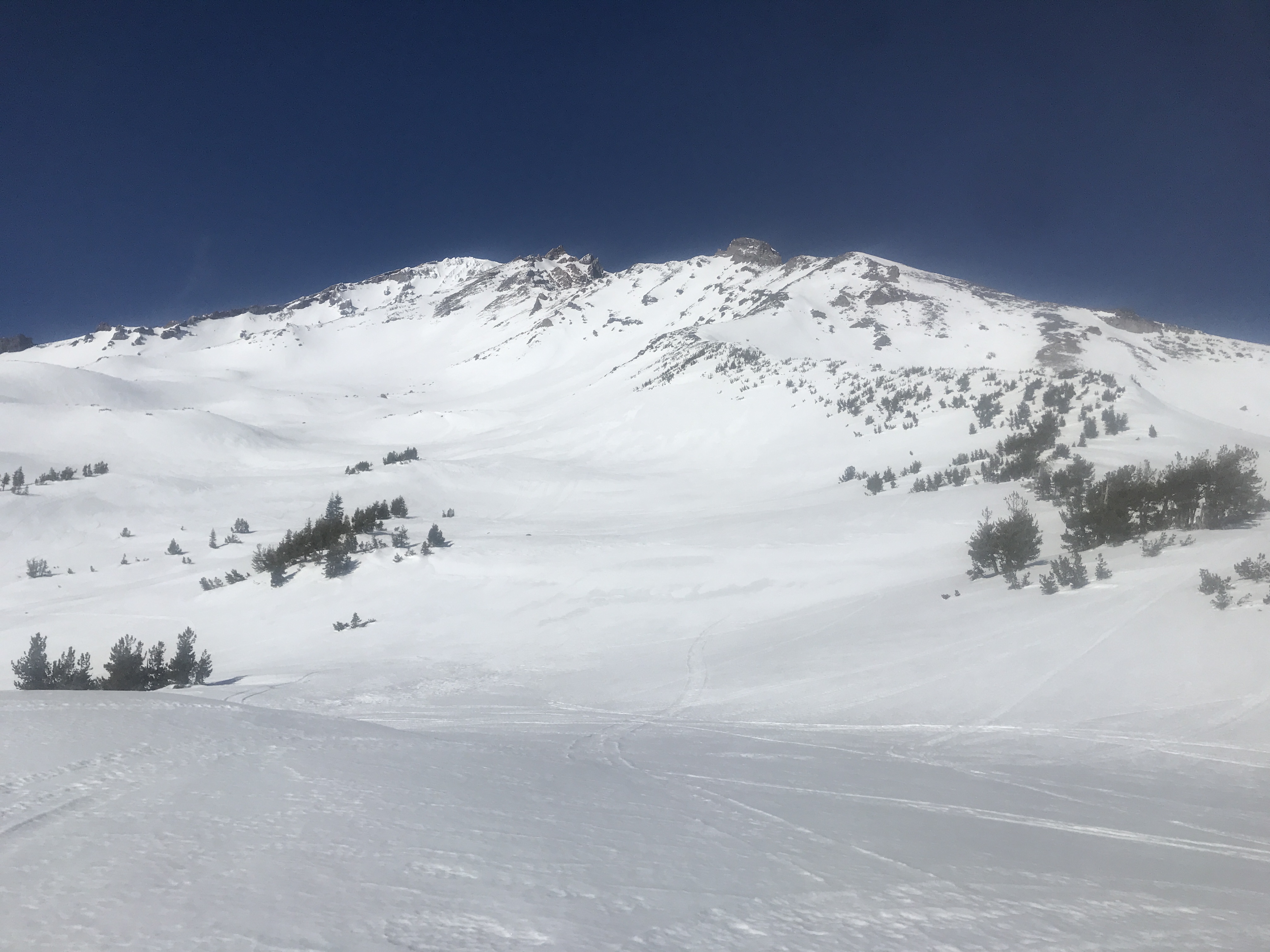
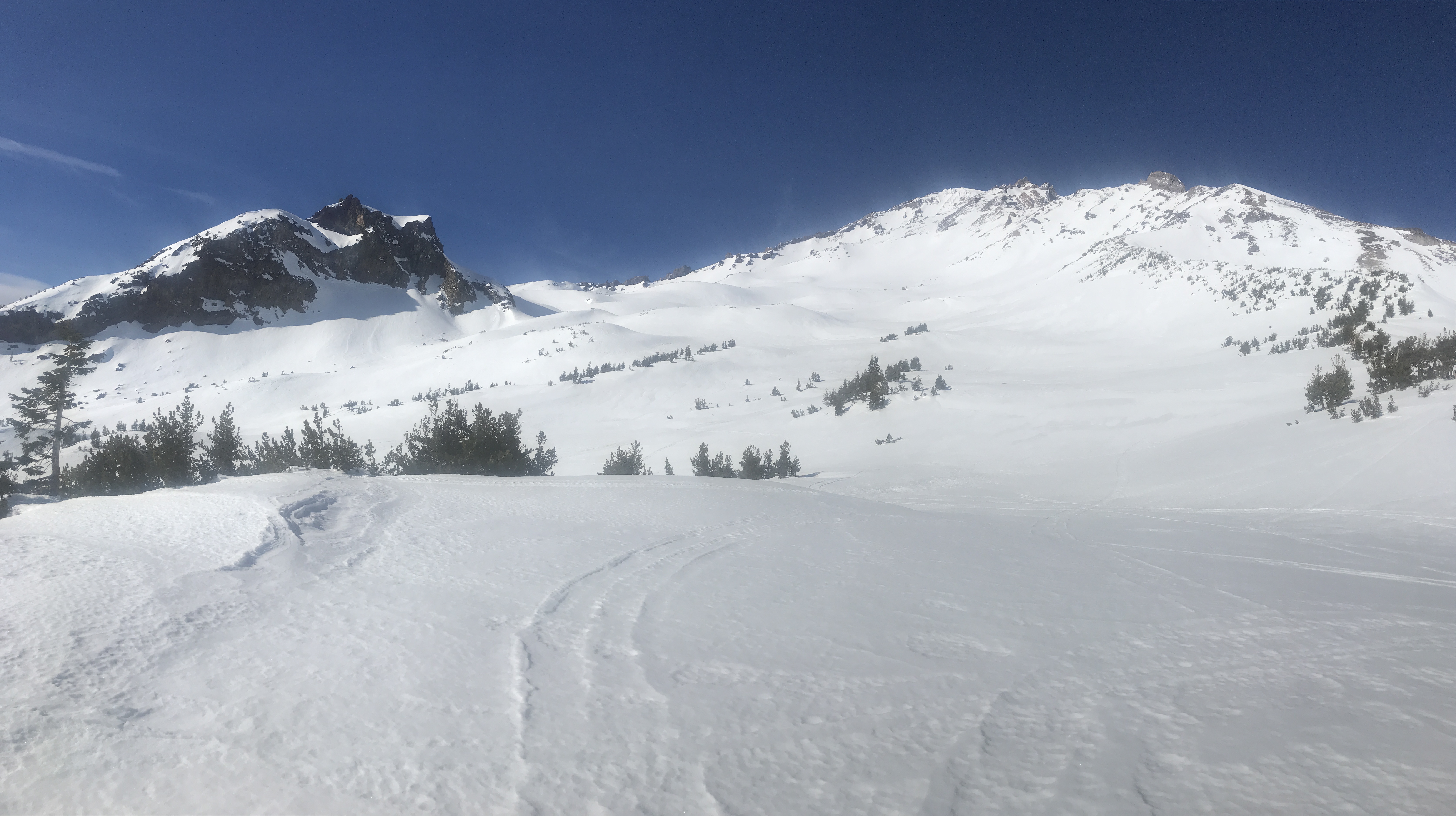
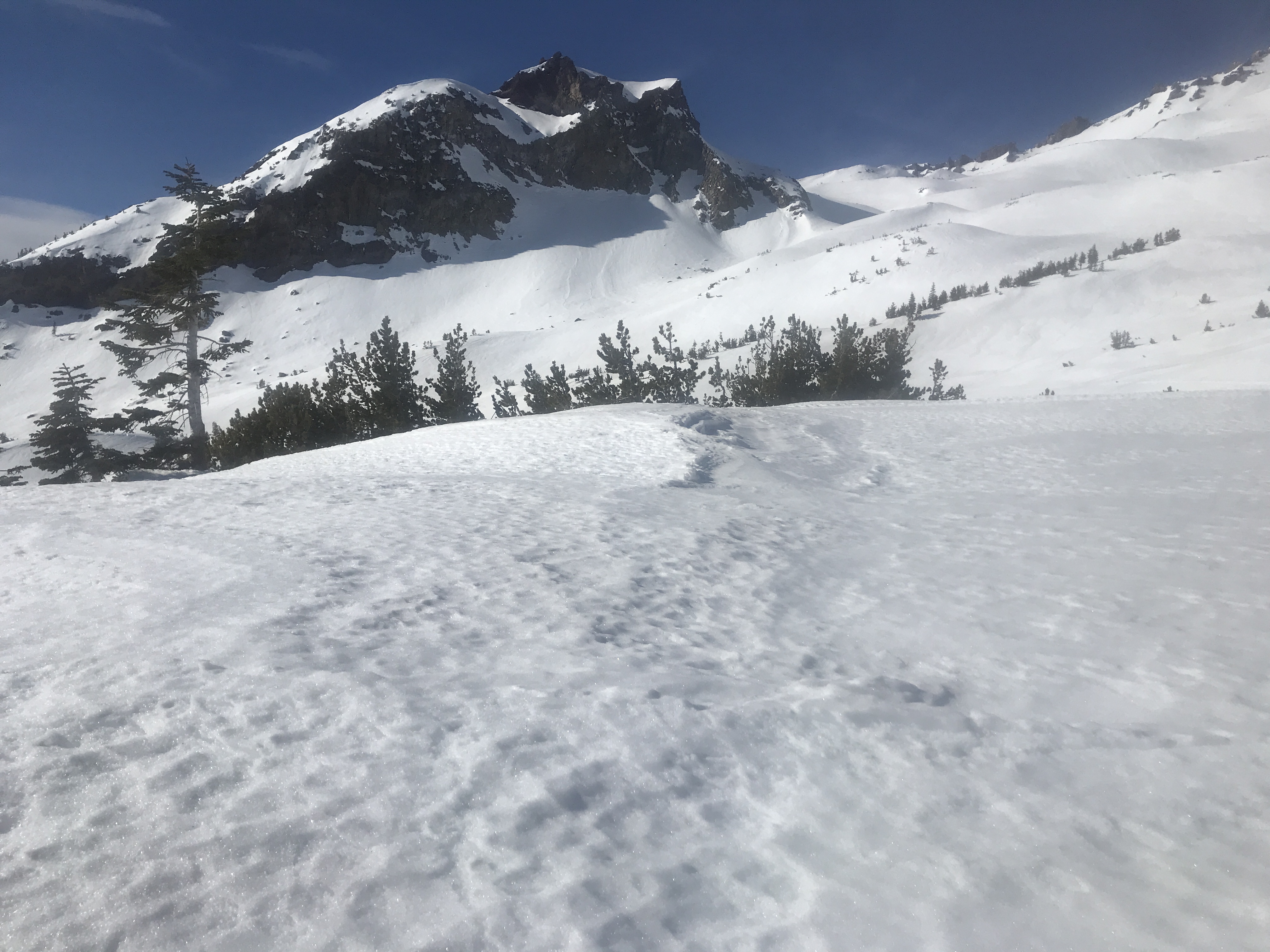
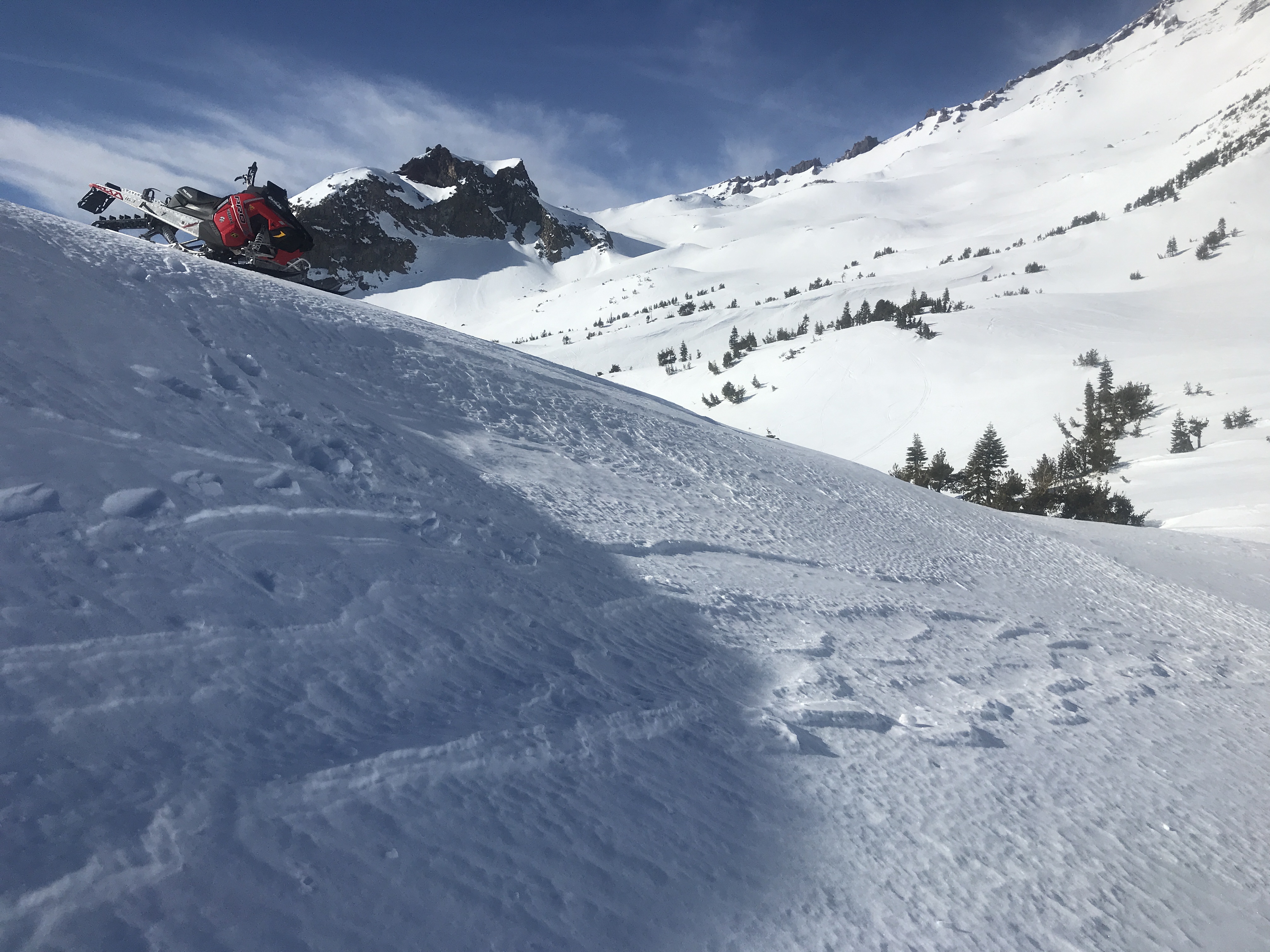
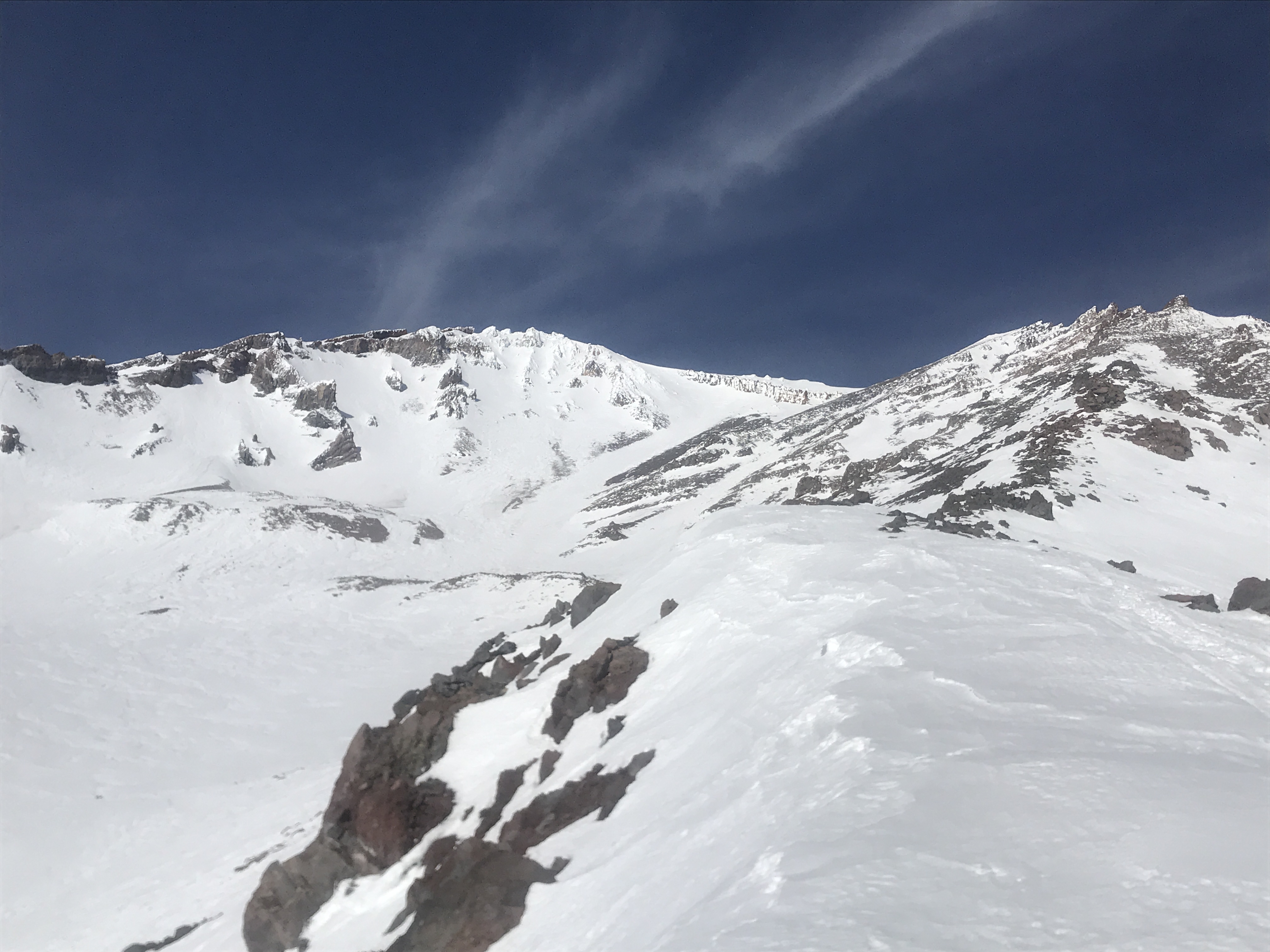
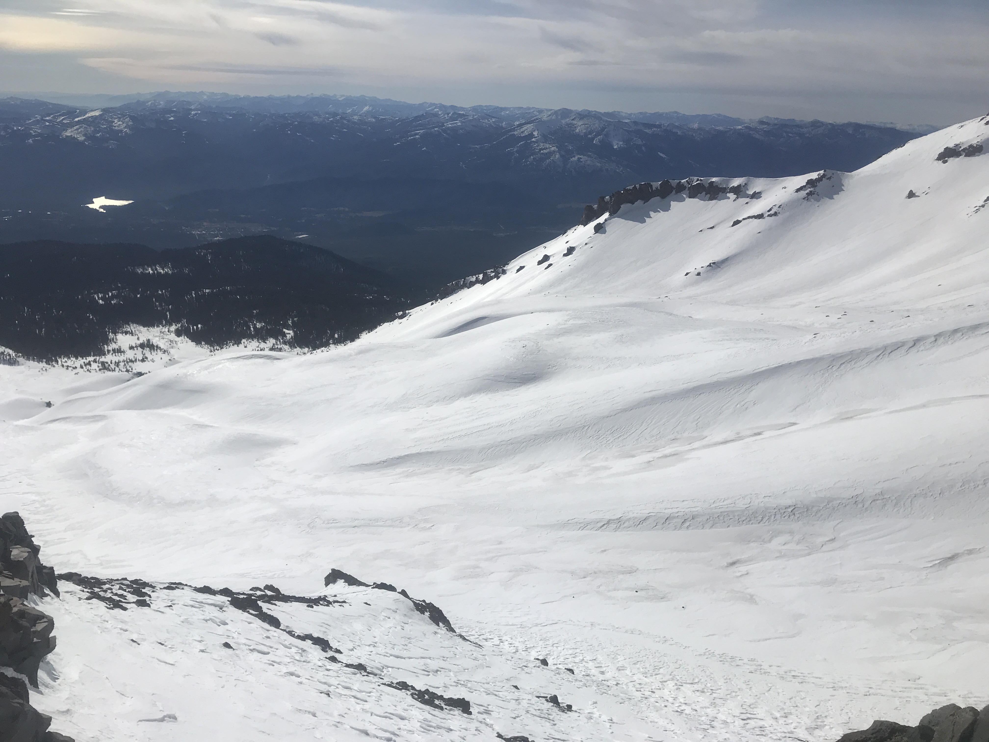
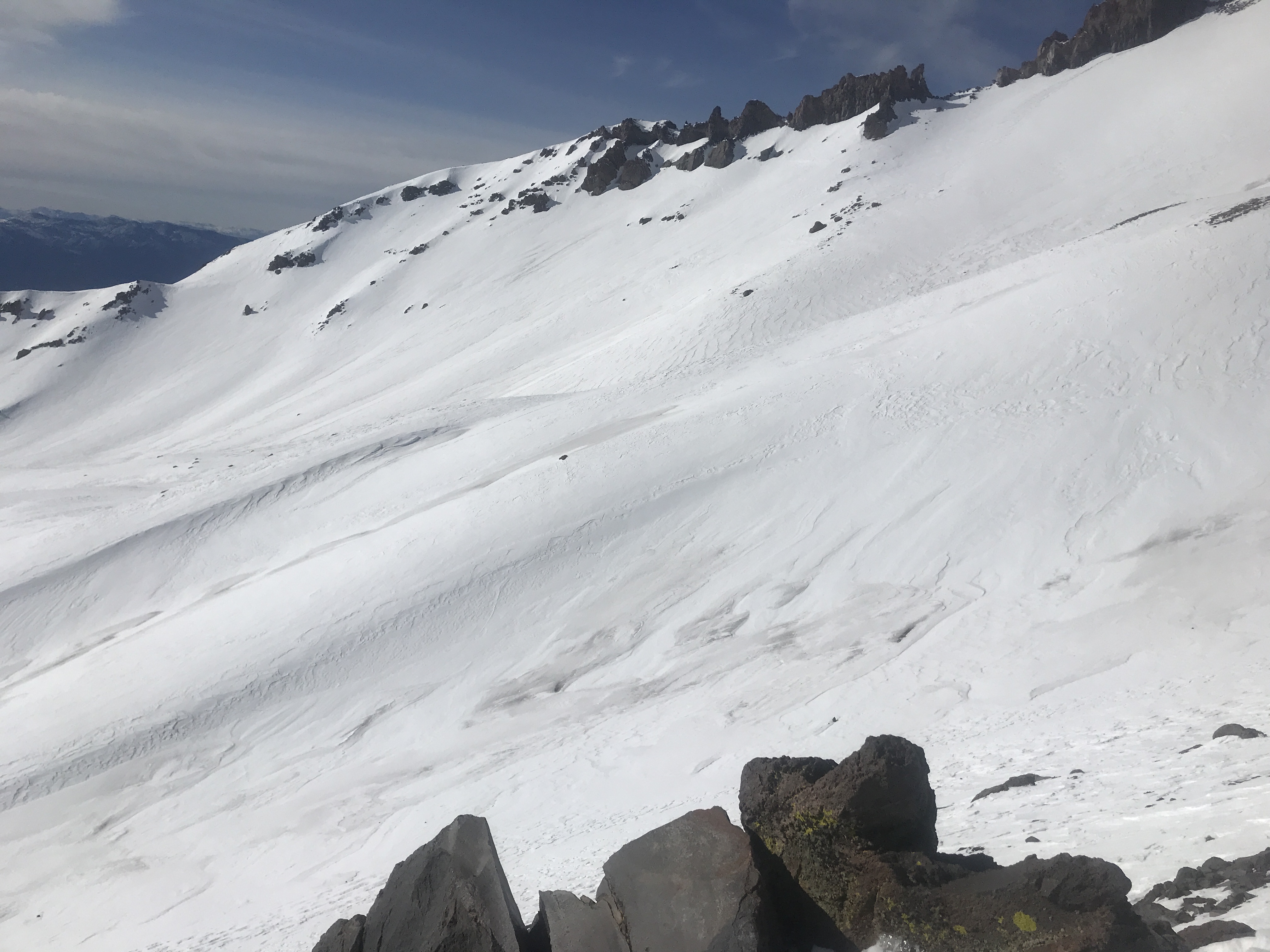
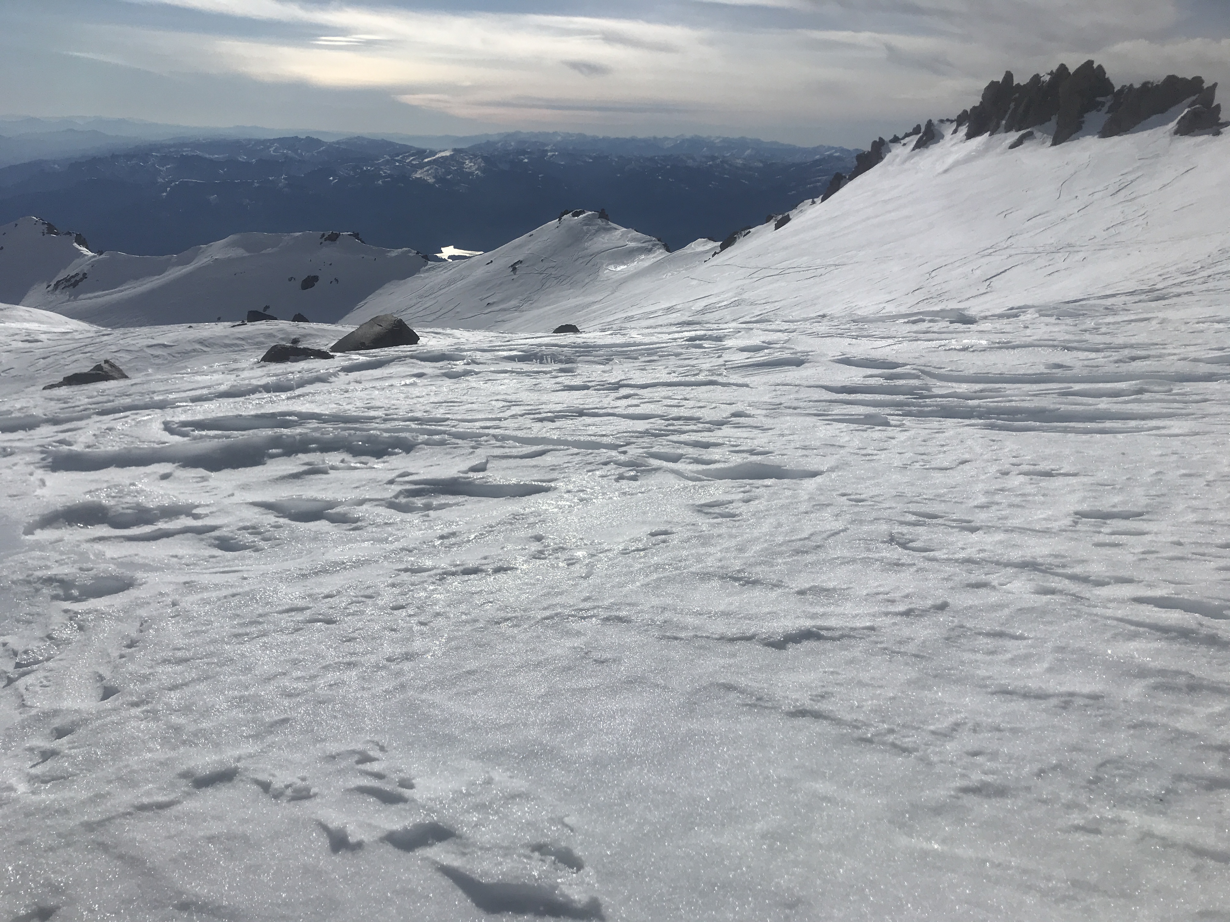
LOCATION: Avalanche Gulch, Green Butte and Sargents Ridges, Old Ski Bowl
SKY CONDITION: Clear
PRECIPITATION TYPE/RATE: None
BLOWING SNOW: None
AIR TEMPERATURE: 36 deg F
SURFACE PENETRABILITY: 0-4 inches (10 cm)
HEIGHT OF SNOWPACK (HS): ~65 inches (165 cm)
HEIGHT OF NEW SNOW (HN): 0
WIND: moderate, gusty, north/northwest
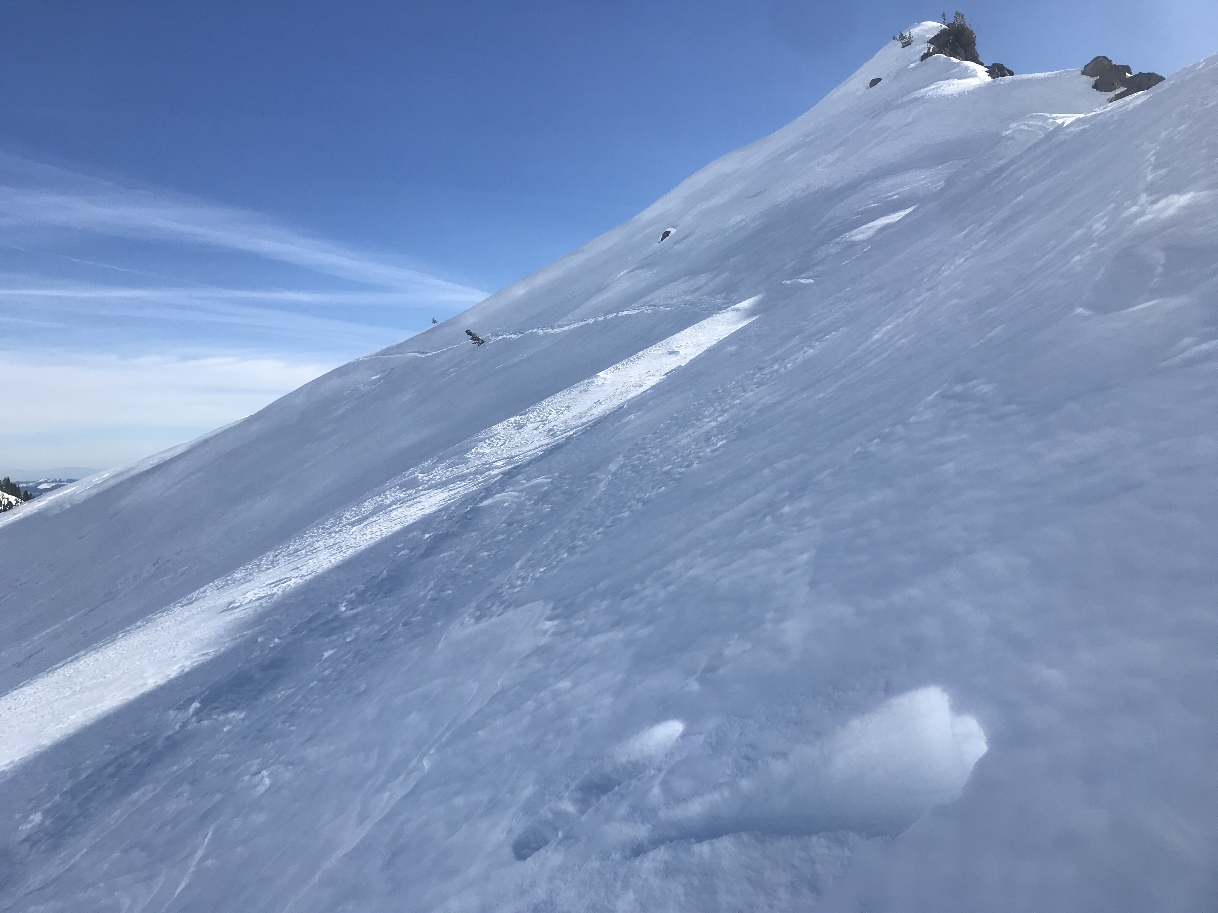
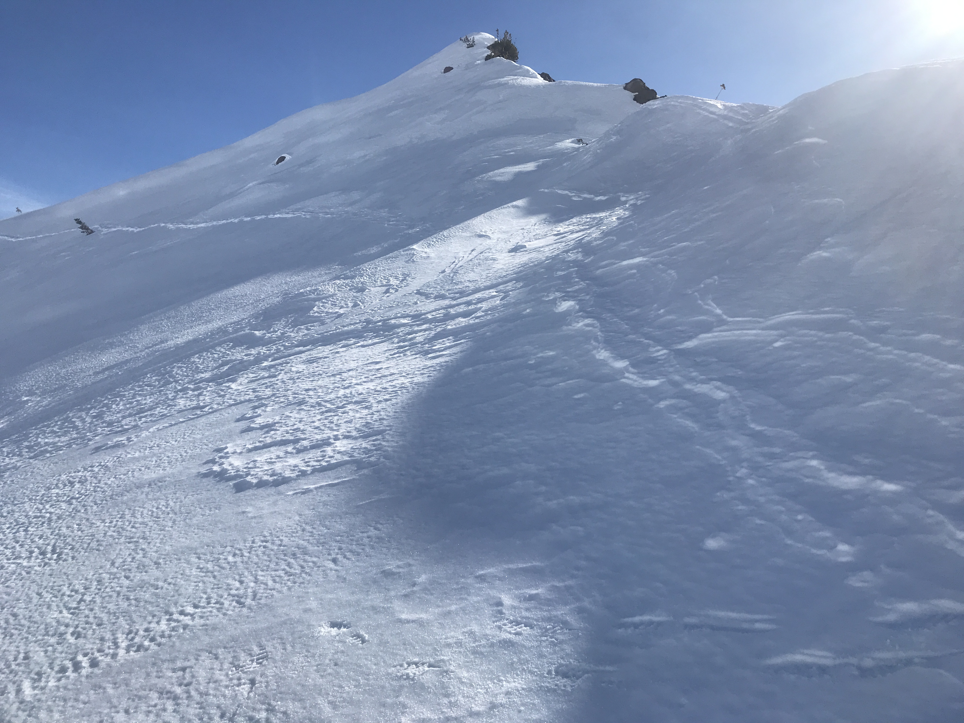
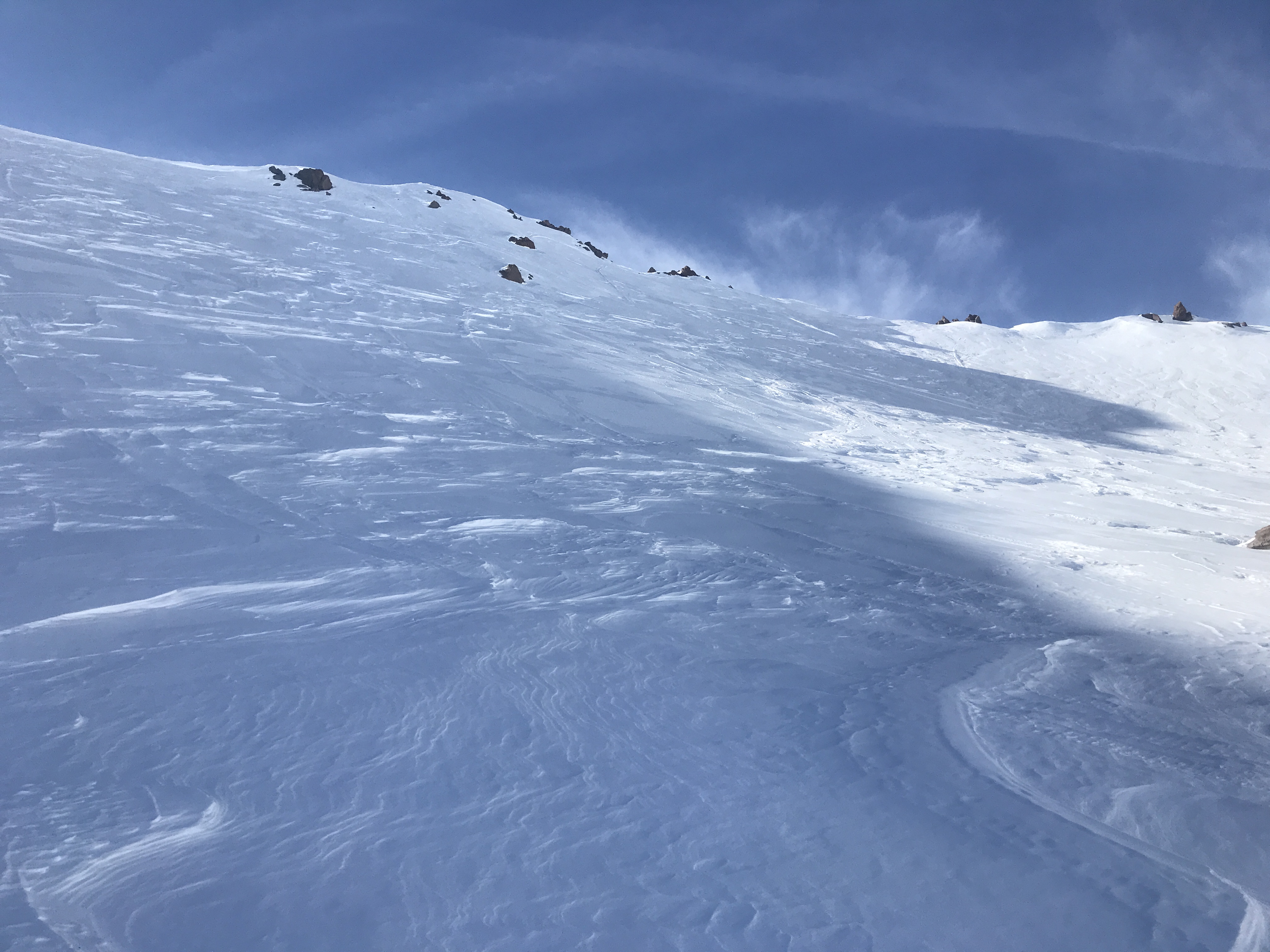
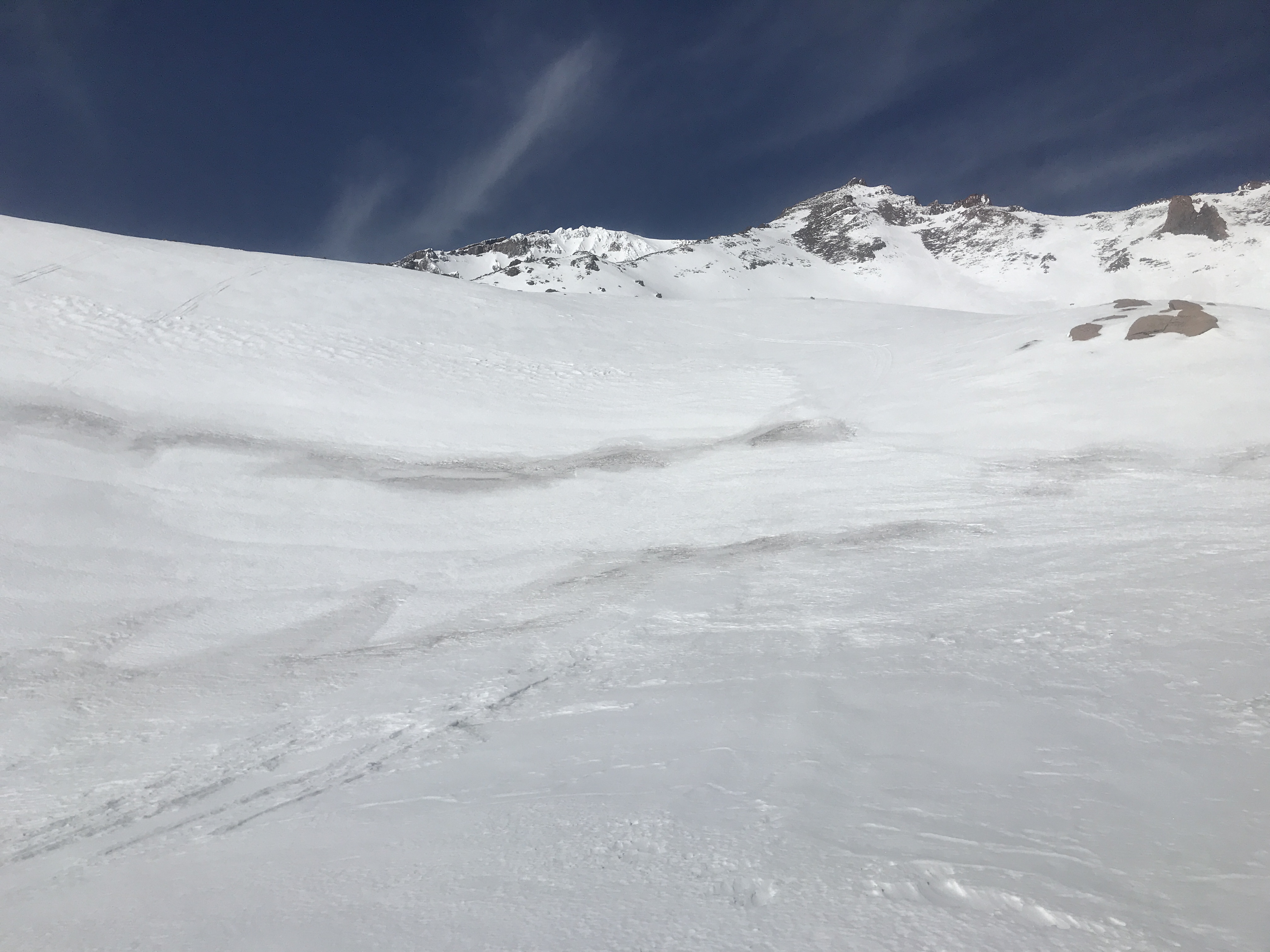
NOTES: Variable snow surface conditions exist on all aspects. Decent melt-freeze conditions and corn-like snow below 9,000 feet on E-SE-S-SW-W aspects. Above 9,000 feet, snow surfaces transition to mostly firm conditions with a mix of breakable crusts, pockets of soft snow, icy patches, and raised sastrugi scabs. Shaded, northerly aspects remain crusty all day. The Heart and the SW face of Sargents Ridge are completely exposed. In Avalanche Gulch above Helen Lake, rocks are strewn all over the snowpack. No sign(s) of avalanche danger.