

The term "snow showers" really took life yesterday. Sometimes it was sunny, sometime cloudy, sometimes it was snowing heavily, sometimes lightly or not at all. Snowfall seemed mostly localized to areas on Mount Shasta. Some places had an inch of low density snow. Others, up to 4 inches. New snow since Monday is unbonded and sits atop the old bumpy, hard, icy, crusty snowpack destroyed by 40 days of sun and wind.
Small sloughs of thin snow on steep slopes could be triggered. Snow accumulation varies throughout the coverage area. There is probably enough new snow in places to provide ample snow for the creation of small wind slabs, but it seems unlikely that this would be a widespread problem. No signs of drifting or wind slab development was seen. Winds were calm to light and very little snow was blowing even on ridge-tops visible around Gray Butte.
Low angle open areas offered the best sliding conditions but hidden obstacles required some gingerly maneuvering. Anything in the trees or on the steeps was not worth hitting.
The Old Ski Bowl is reporting about 4.5 inches of snow since Monday. Temperatures in the last 24 hours ranged from 4.5 to 16 ºF. Winds were mostly light but bumped up to moderate for an hour last night. Castle Lake has received about an inch of new snow since Monday; Mount Eddy about 3.5 inches.
Remember, that before this storm, wind-felled tree debris was widespread below treeline. Above treeline, there was plenty of exposed ground and rock. Sleds and skis will easily be broken if riding hard on the new snow.
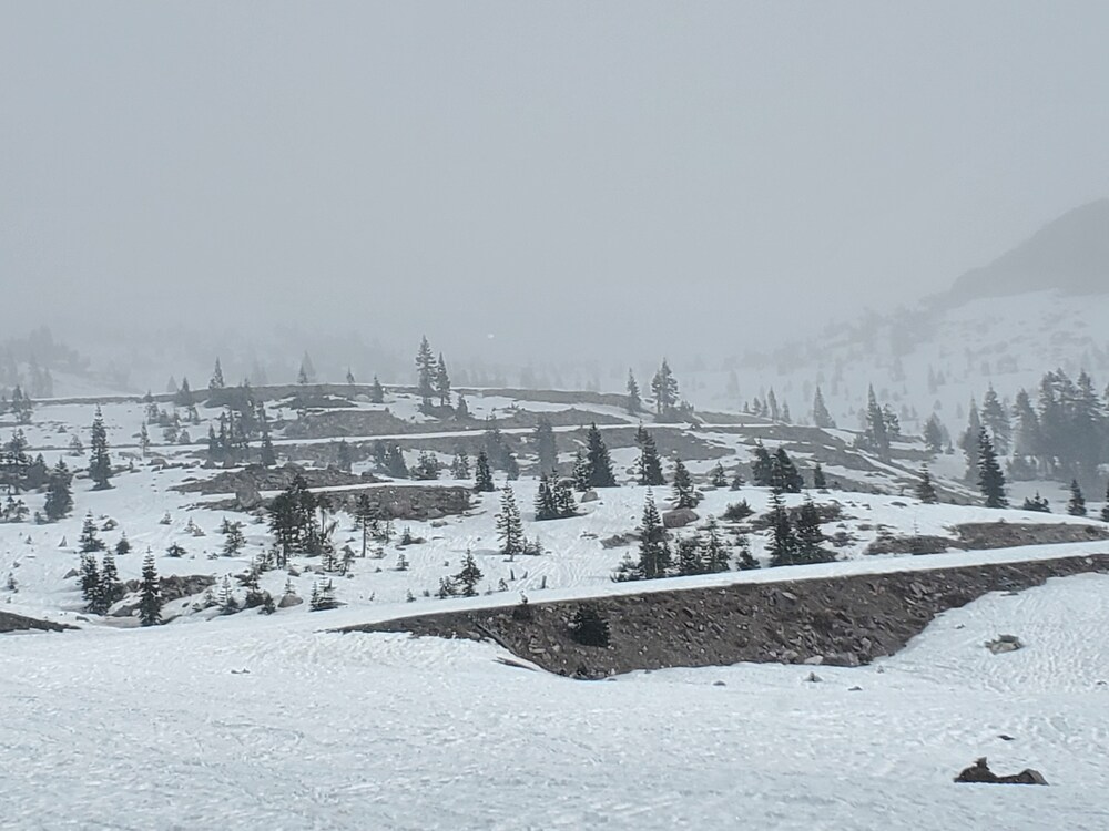
Old Ski Bowl at Start of the Storm
The cold front has passed through but cold air remains and will for the next few days, though temperatures will trend slightly upwards. Daytime highs will be in the 30s and lows in the 20s. Snow levels should remain near or below 1,000 ft today and tonight. Remaining clouds should dissipate early and clear conditions will prevail until the weekend.
Lower elevations and sheltered areas below ridges and other terrain features will see calm to light winds today. Ridge-tops and northern sides of the mountain will see moderate north to northeast winds.
More precipitation is expected Sunday, up to 0.25 inches of water.

