

You are here
After the storm - Avalanche Gulch
Location Name:
Avalanche Gulch Region:
Mt. ShastaDate and time of observation:
Mon, 12/05/2022 - 2:30pmObservation made by:
PublicRed Flags:
Recent loading by new snow, wind, or rain
Location Map
96067
Mount Shasta
, CA
United States
41° 22' 20.7768" N, 122° 13' 14.8296" W
See map: Google Maps
California US
Snowpack Observations
Details
Photos
Weather Observations
Statistics
Cloud Cover:
75% of the sky covered by cloudsBlowing Snow:
NoPrecipitation:
NoneAccumulation rate:
NoneAir temperature:
Below FreezingAir temperature trend:
WarmingWind Speed:
CalmWind Direction:
Southwest

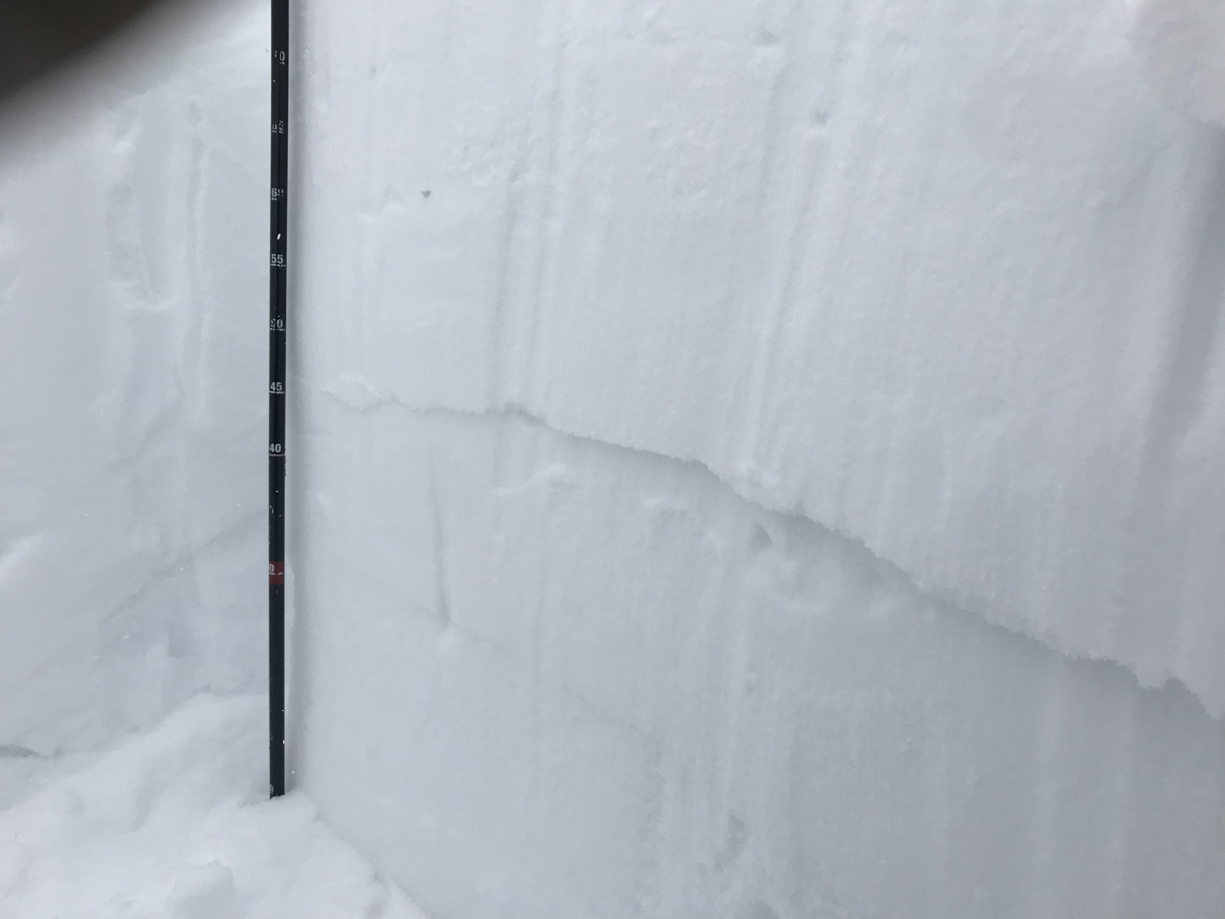
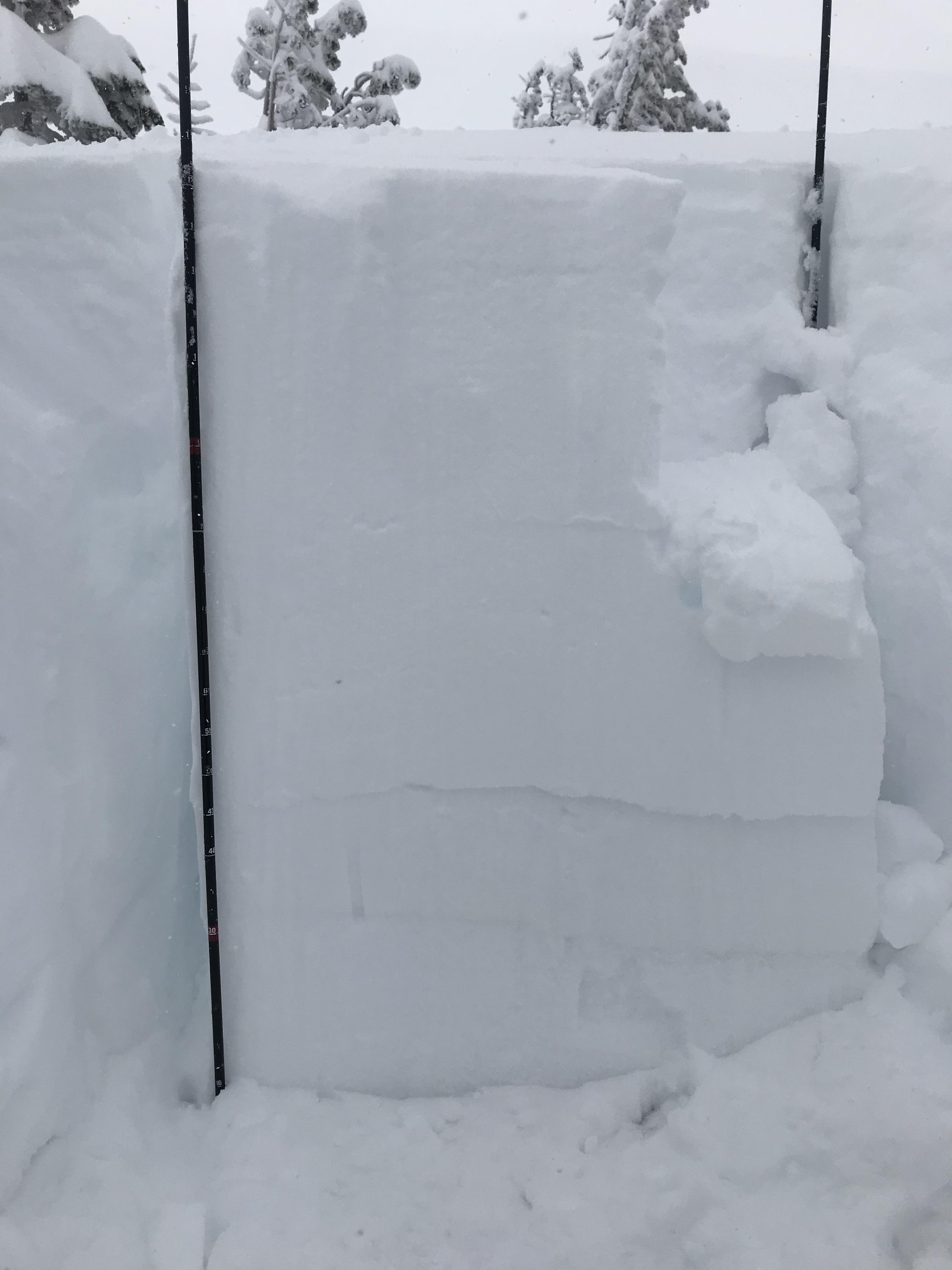
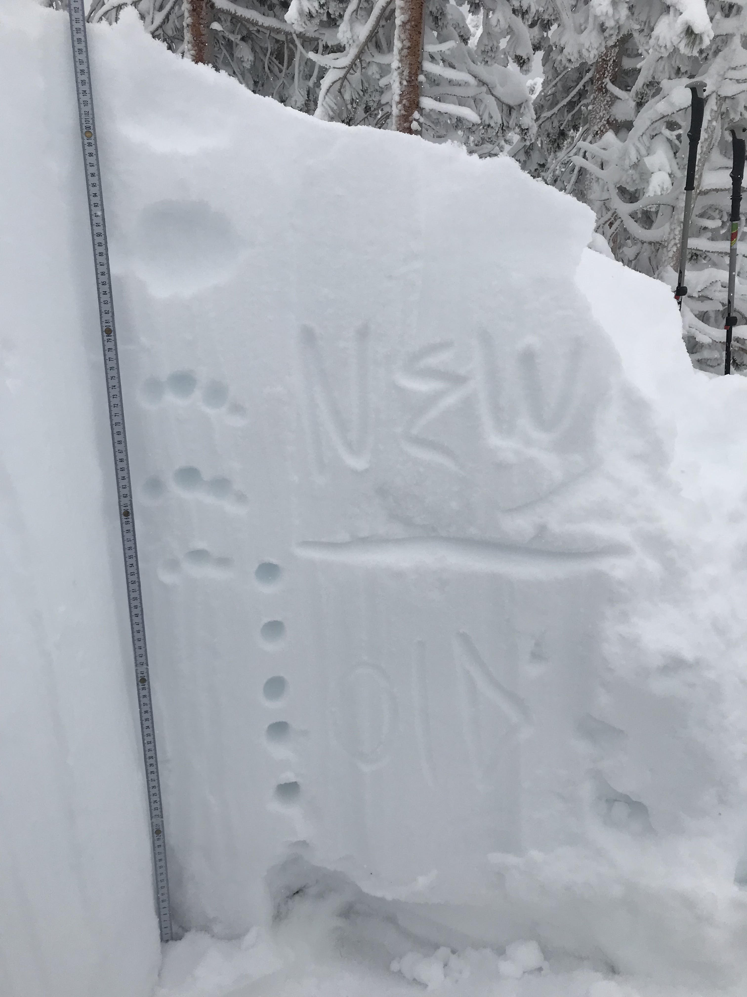
Today's observation was a tour up Avalanche Gulch to near treeline to observe snow conditions from the recent storm. The remarkable finding of the day was the unstable test results at the new-snow, old-snow interface. Test results ECTP-#21-Q2-↓32in (80cm). The bed surface appeared to be the old snow interface of (Dec 1st) which may have been rained on during the storm cycle. This will be a layer to keep an eye on moving forward. Digging downward, the snow displayed a right-side up snow pack with a snow height of 125cm (49in), increasing in density as it moved downward. A melt-freeze crust exists at 30 cm (17in) up from the ground. Beneath the crust was a cohesive slab of old snow sitting atop roughly 10cm (4in) of facted snow.
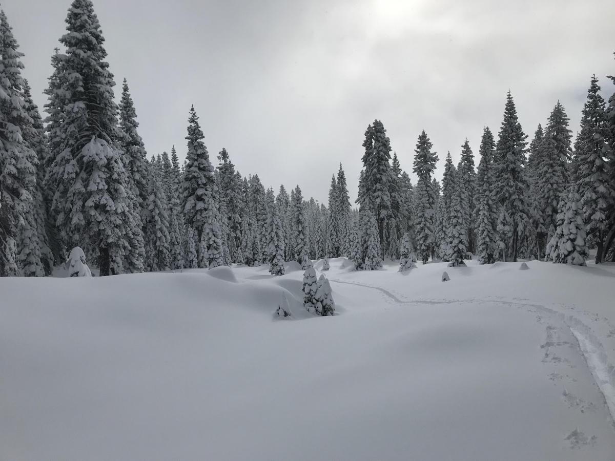
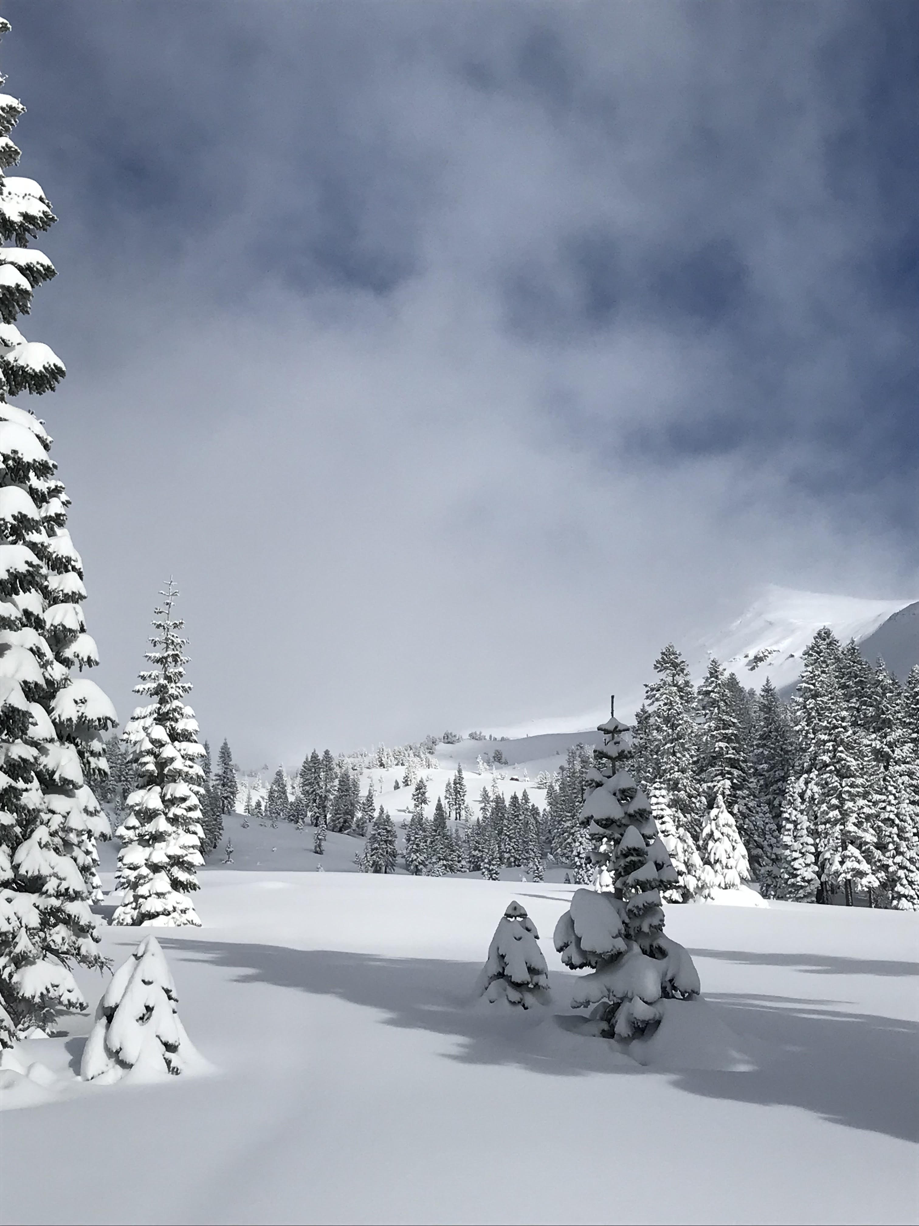
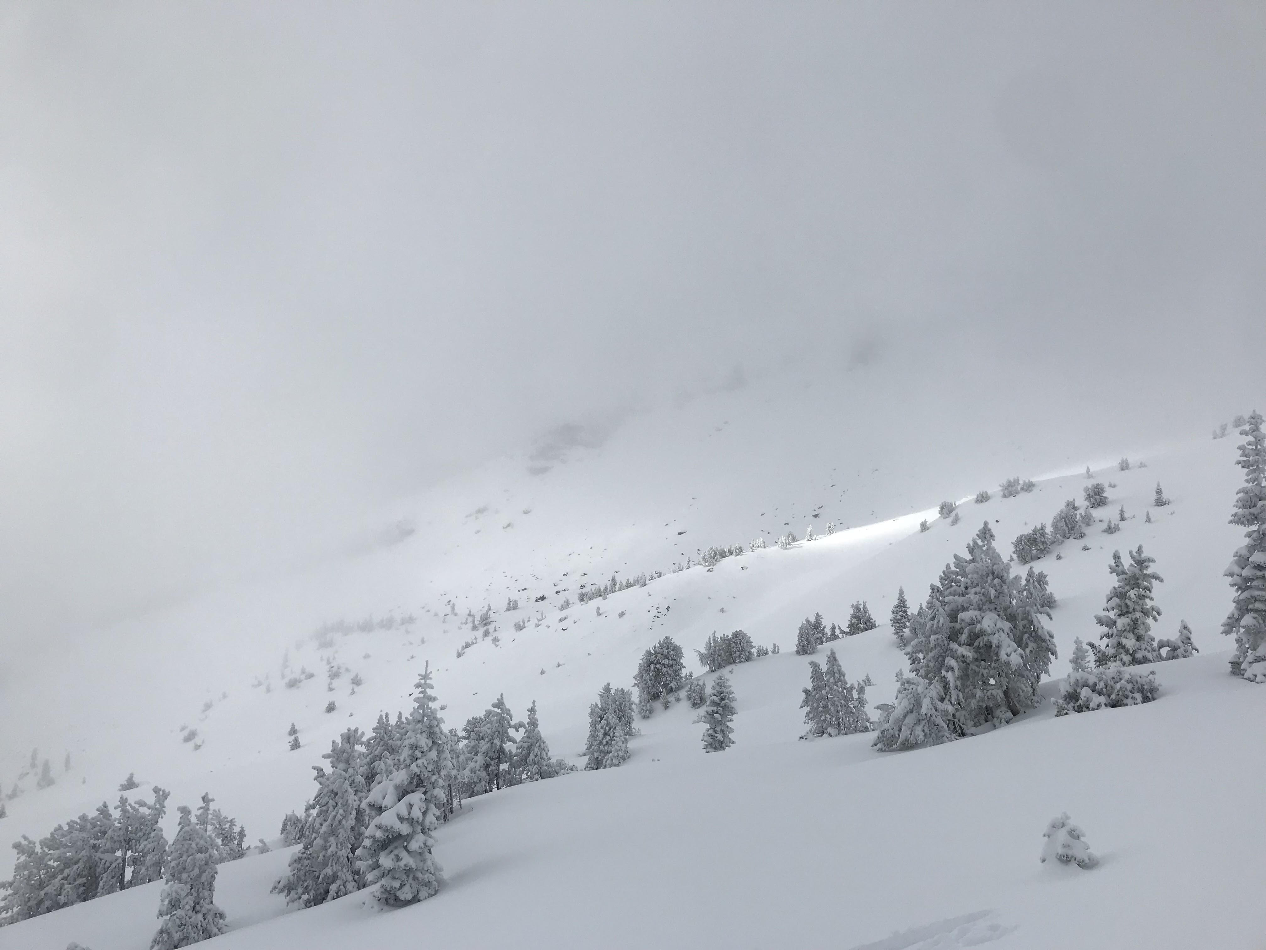
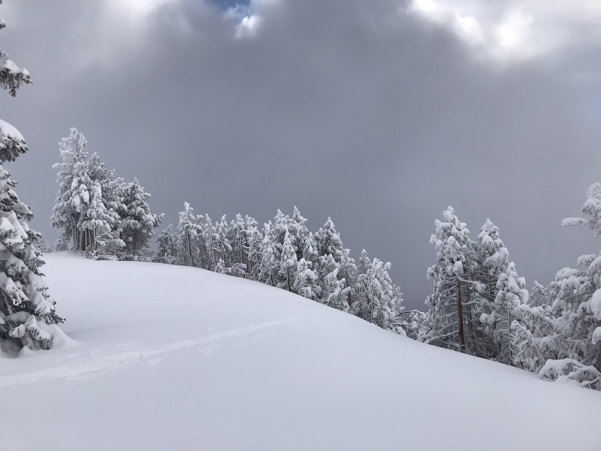
The snow quality below treeline was low density and not wind-affected, which made for easy walking. After gaining elevation and more exposure to the elements, the snow subtly became heavier due to more significant solar input and more wind activity. However, there were no significant changes in the surface texture. (Not slaby and still easy walking.) Snow conditions at a high point of (8,300ft) were unchanged, with abundant cold and soft powder canvasing the surroundings. The skiing coverage back down to Bunny was a drastic imporovement compared to three days ago, findng no rocks or hidden obsticals.
Observation Location: Avalanche Gulch