

You are here
Ash Creek Butte
Location Name:
Ash Creek ButteRegion:
East of Mt ShastaDate and time of observation:
Mon, 12/07/2020 - 12:00pmObservation made by:
ForecasterLocation Map
96067
Mount Shasta
, CA
United States
41° 27' 20.1204" N, 122° 3' 5.202" W
See map: Google Maps
California US
Snowpack Observations
Details
Photos

Weather Observations
Statistics
Air temperature trend:
WarmingWind Speed:
Light

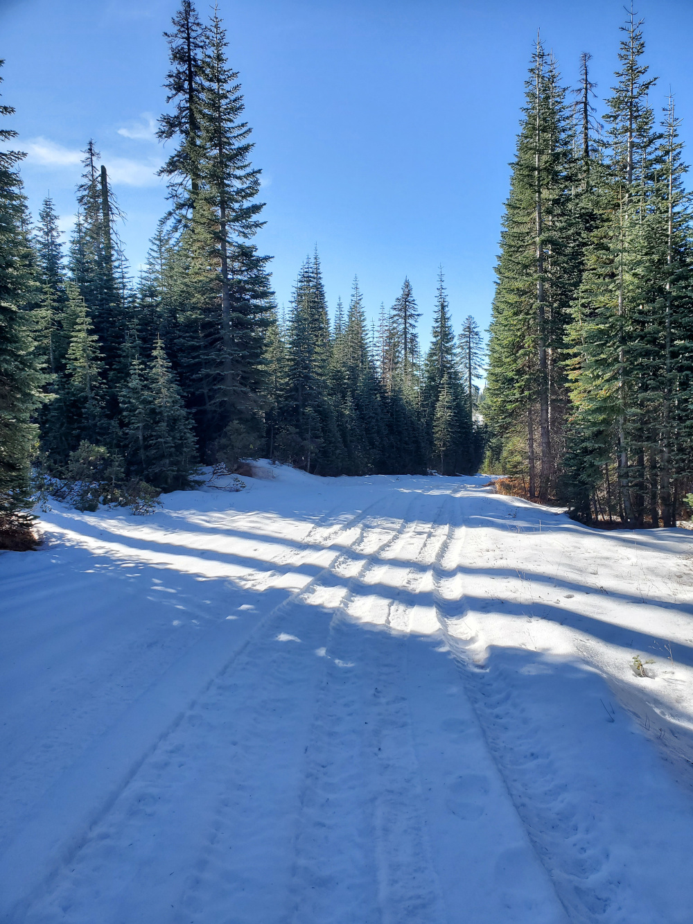
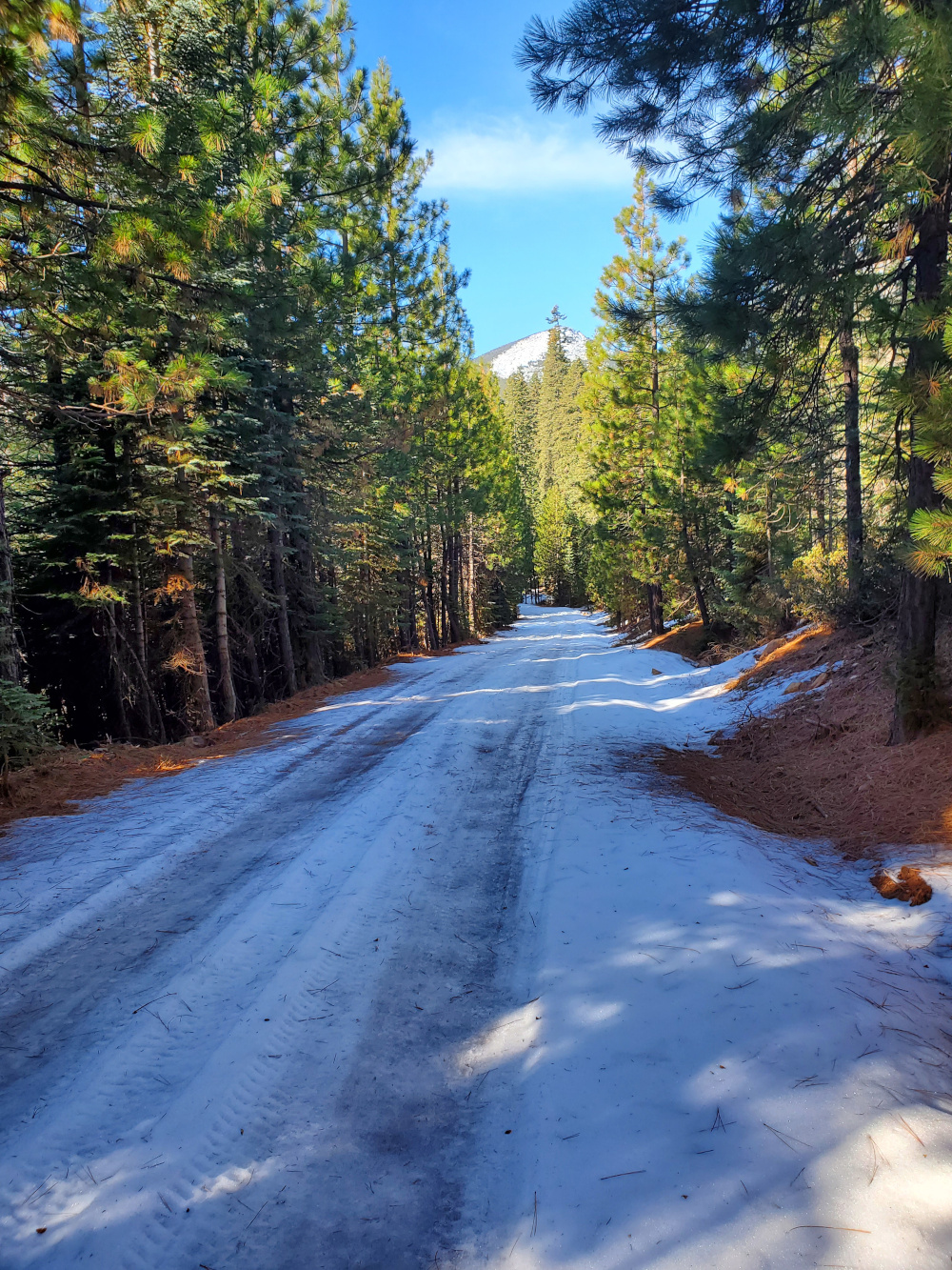
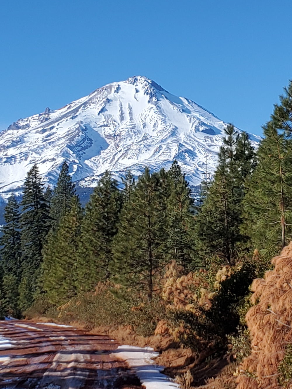
East road off of Military Pass Road to Ash Creek Butte is snow covered after 2 miles in, rutted with tracks from off highway vehicles.
Road to Brewer Creek Trailhead off of Military Pass Road is covered with snow.
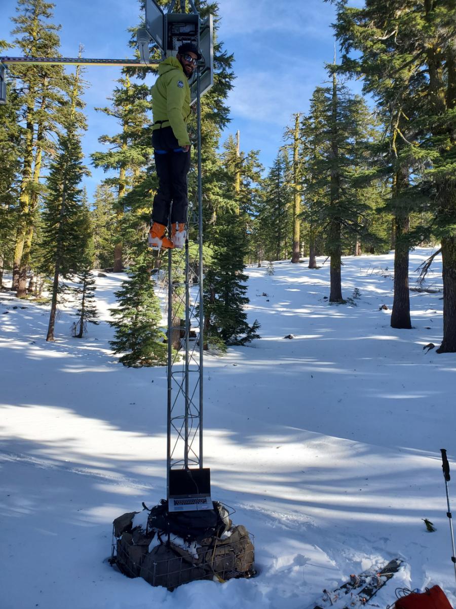
Snow depth in sheltered areas around Ash Creek Butte is 12-16 inches. Many rocks and other forest debris present below and above snow surface obstacles. Snow surfaces are variable.
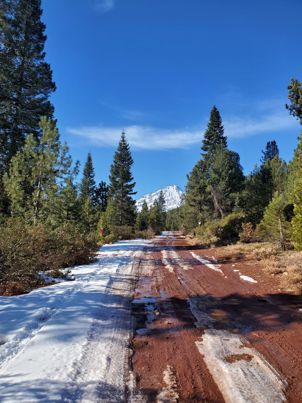
Military Pass Road from Pilgrim Creek Snowmobile Park to the west side of Ash Creek Butte is mostly clear of snow.
Due to a thin snow pack and rutted snow on roads, snowmobile travel in this area is not recommended.
See photos below for details.