

You are here
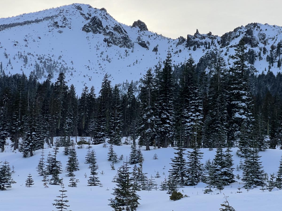
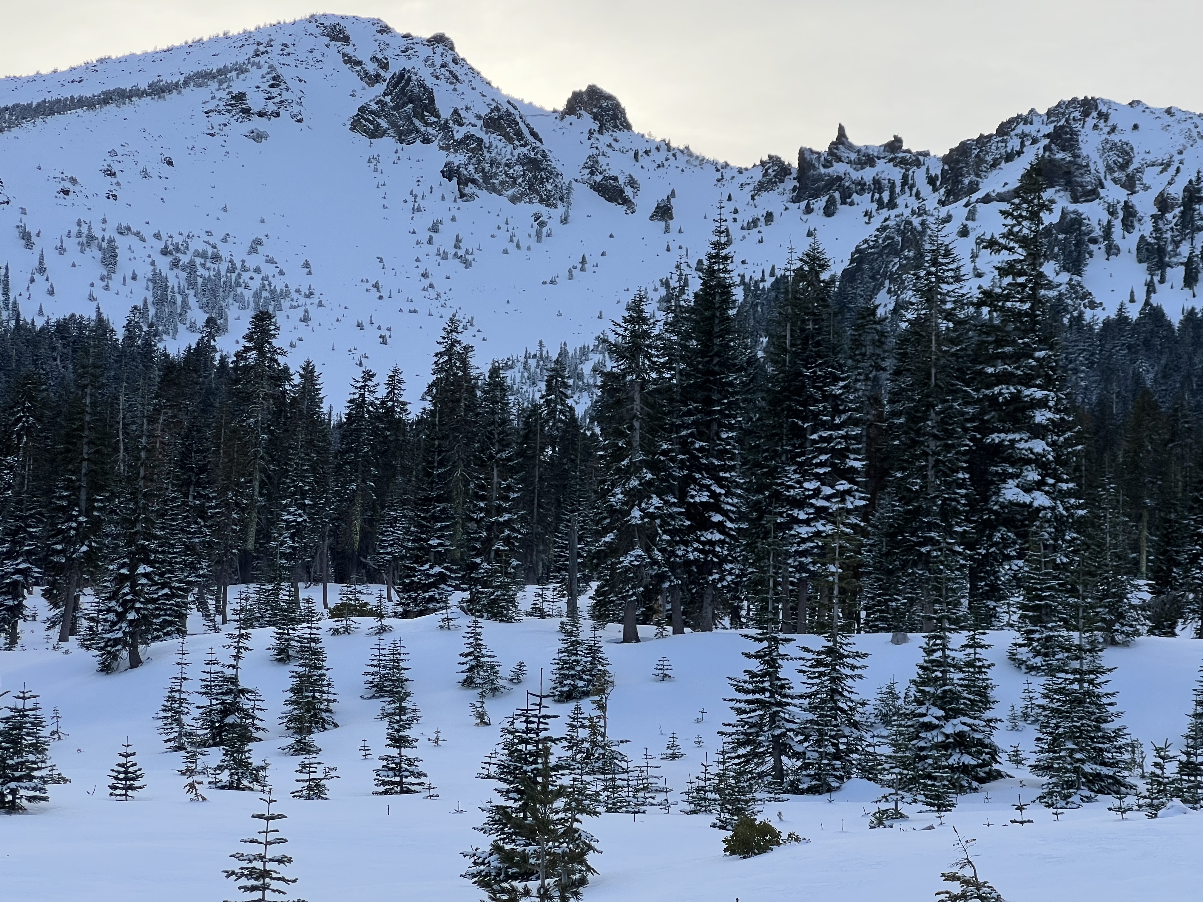
Ash Creek Butte
Location Name:
Ash Creek ButteRegion:
East of Mt ShastaDate and time of observation:
Fri, 12/02/2022 - 11:30pmObservation made by:
PublicRed Flags:
Recent loading by new snow, wind, or rain
Location Map
96067
Mount Shasta
, CA
United States
41° 27' 13.3992" N, 122° 2' 45.8772" W
See map: Google Maps
California US
Snowpack Observations
Details
Photos
Weather Observations
Statistics
Cloud Cover:
25% of the sky covered by cloudsBlowing Snow:
YesPrecipitation:
NoneAccumulation rate:
NoneAir temperature:
Below FreezingWind Speed:
LightWind Direction:
Northwest

~Total average snow depth of 110 cm. Below new snow layer, a crust exissts from old snow with facets below it. Column tests produced easy failures with three wrist taps, failing at weak layer just below crust, approximately 40 cm down from the top of the snowpack.