

You are here
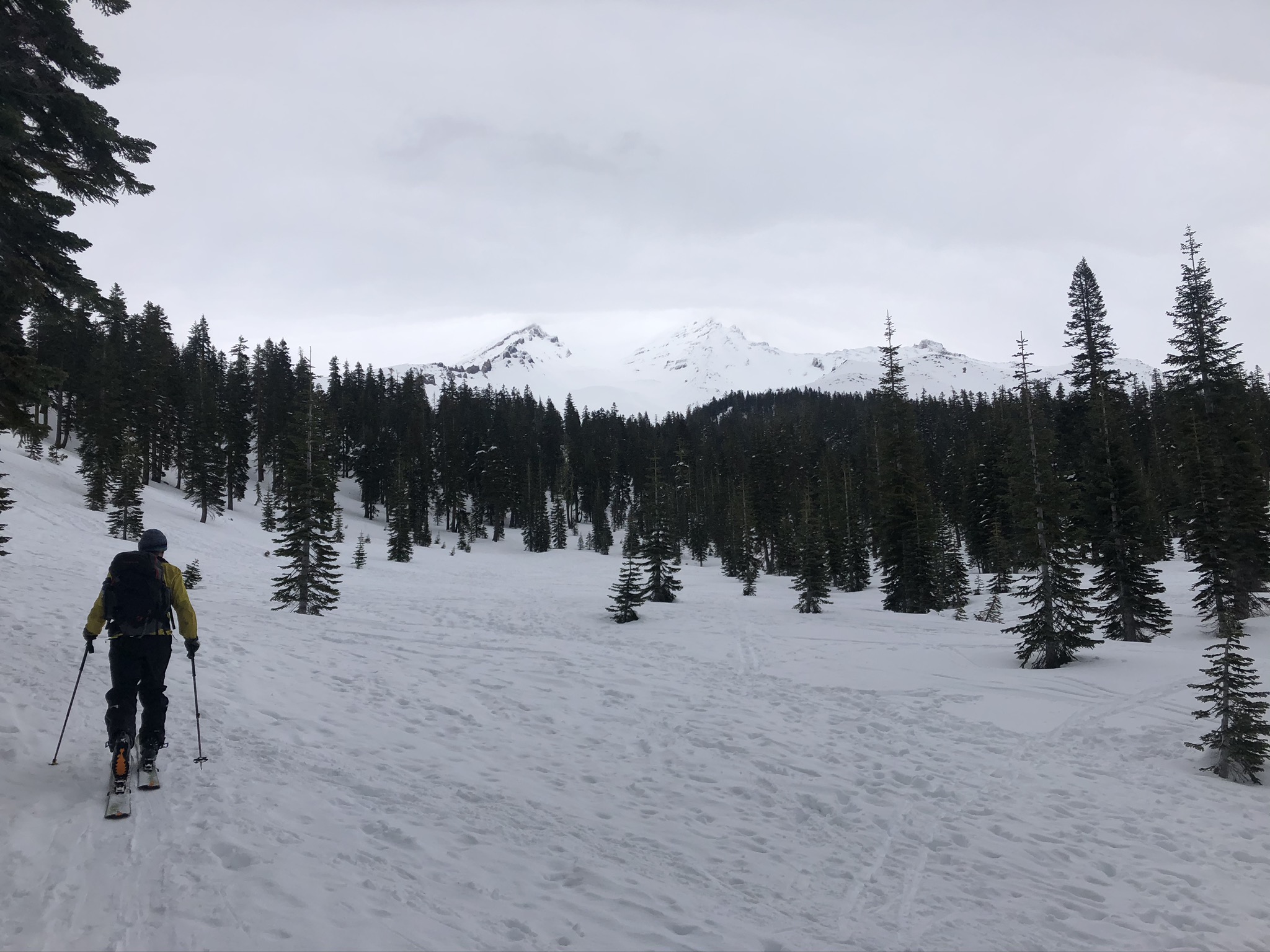
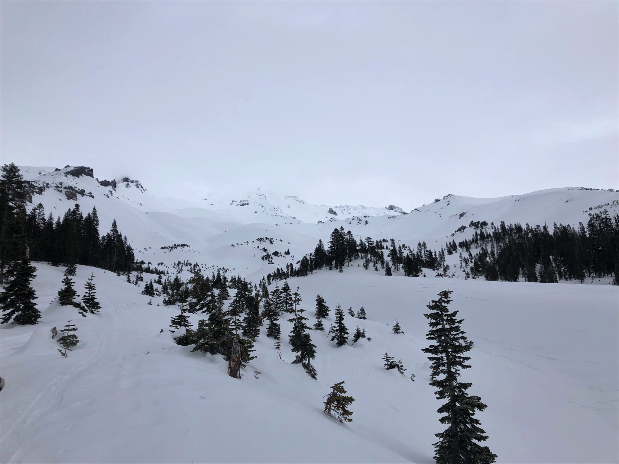
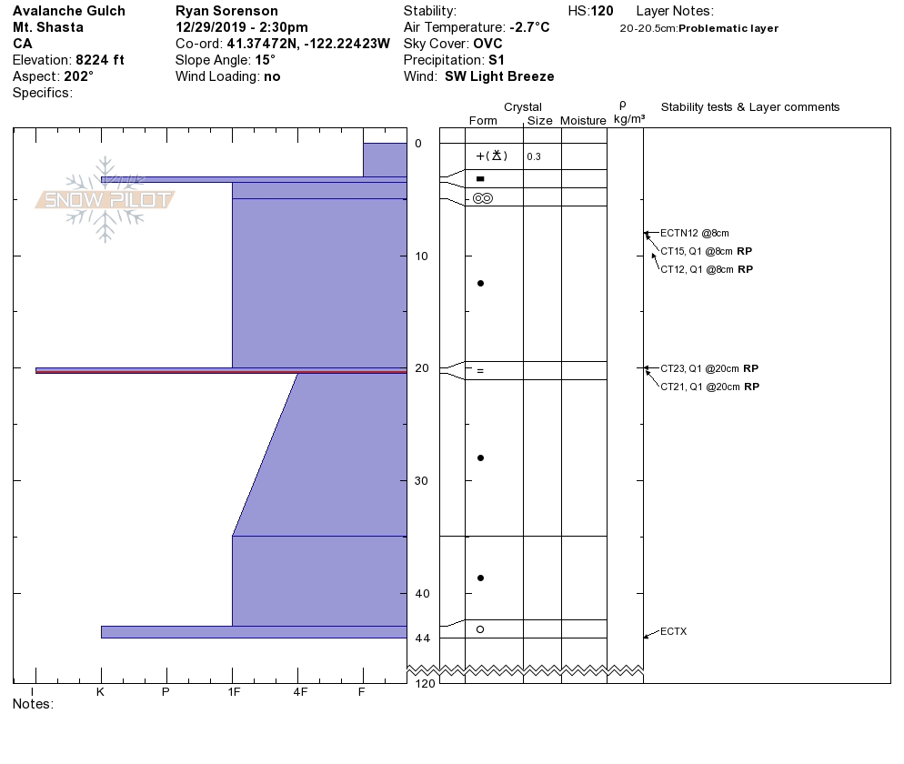
Avalanche Gulch

Location Name:
Avalanche GulchRegion:
Mt. ShastaDate and time of observation:
Sun, 12/29/2019 - 2:30pmObservation made by:
ForecasterLocation Map
96067
Mount Shasta
, CA
United States
41° 22' 28.9812" N, 122° 13' 26.7708" W
See map: Google Maps
California US
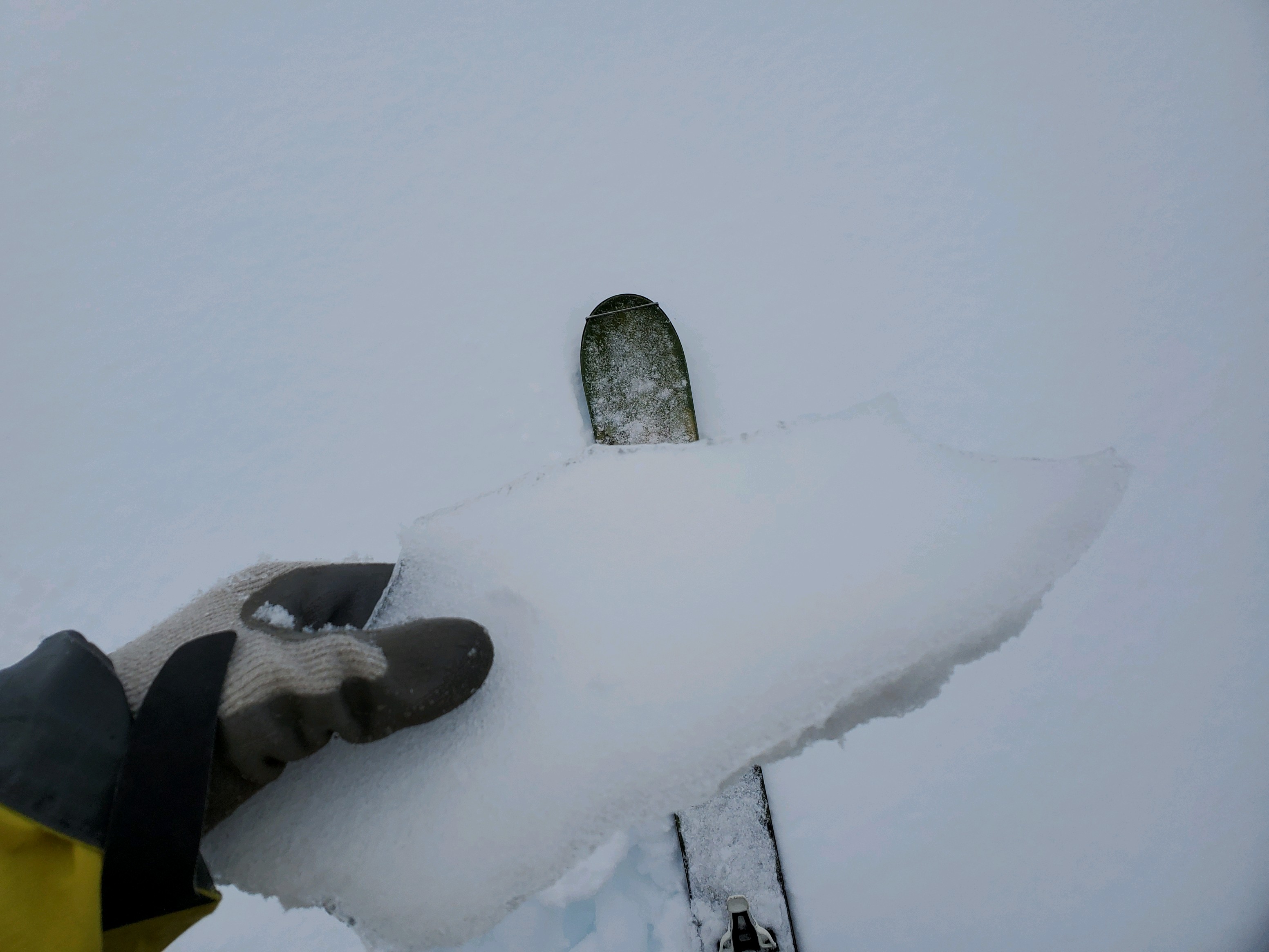
Snowpack Observations
Details
Photos
Videos
Weather Observations
Statistics
Cloud Cover:
100% of the sky covered by cloudsBlowing Snow:
NoPrecipitation:
SnowAccumulation rate:
Less than 1 in. per hourAir temperature:
Below FreezingAir temperature trend:
CoolingWind Speed:
LightWind Direction:
Southeast

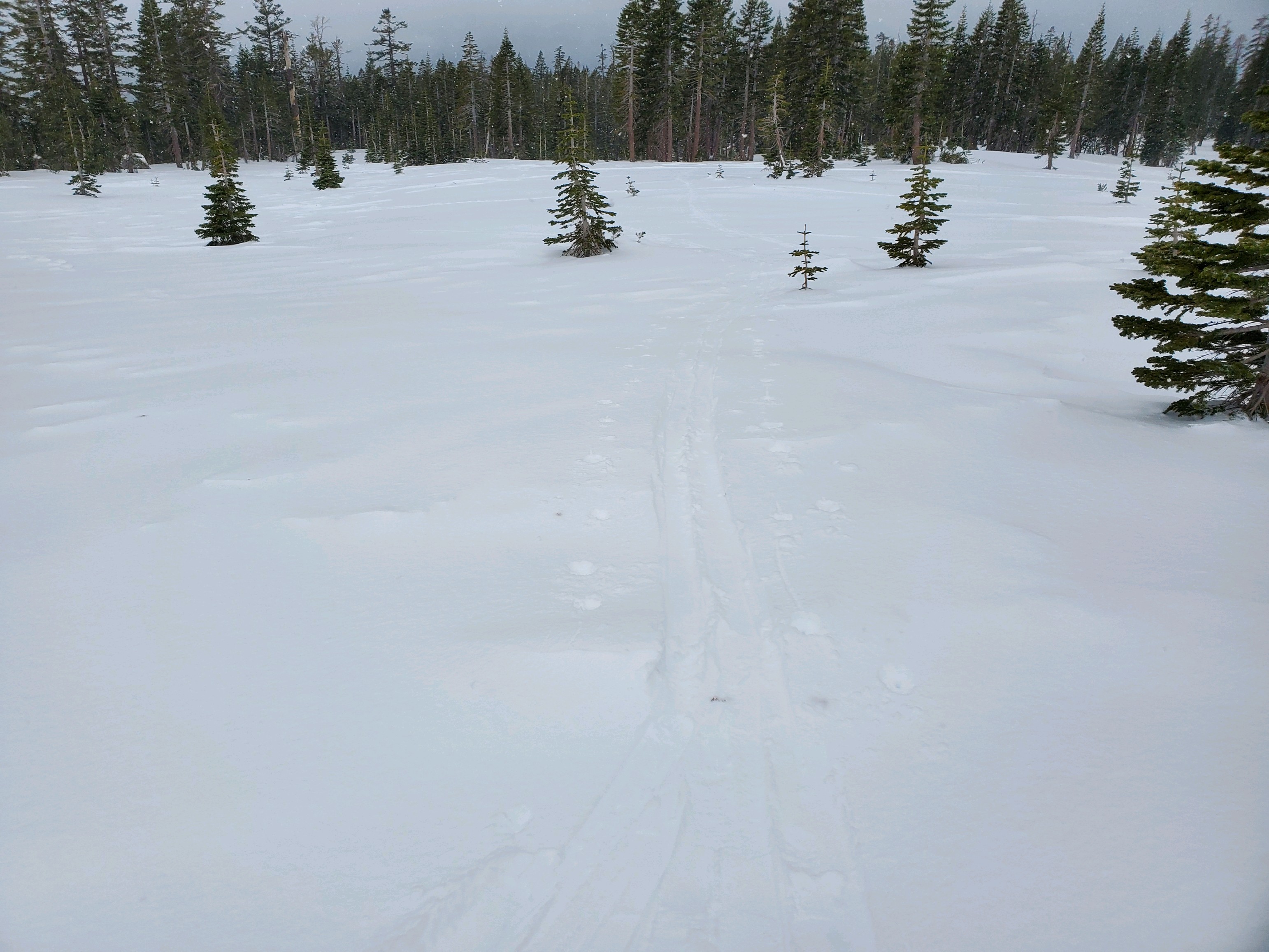
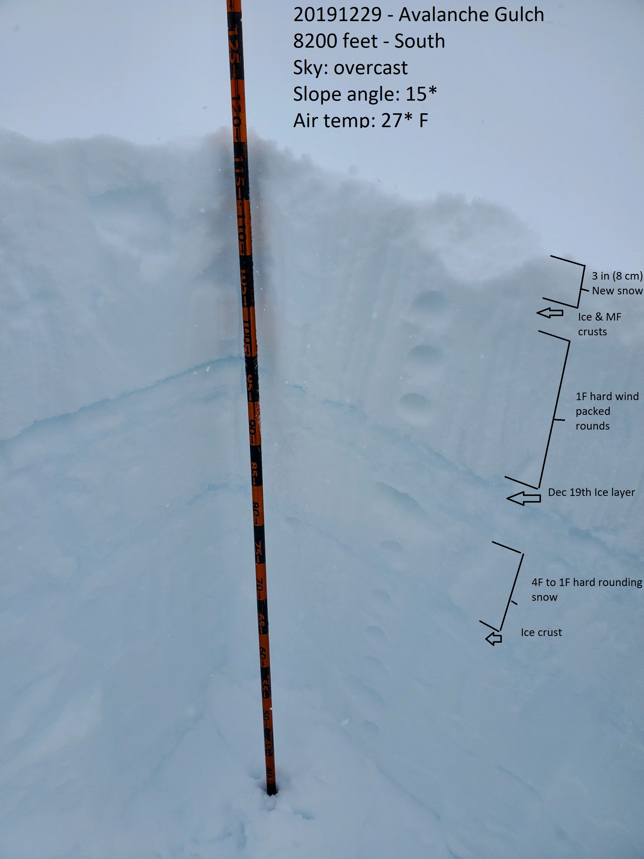
20191217 - 1400 hrs - Sorenson - Avalanche Gulch, Mount Shasta
Notes: