

You are here
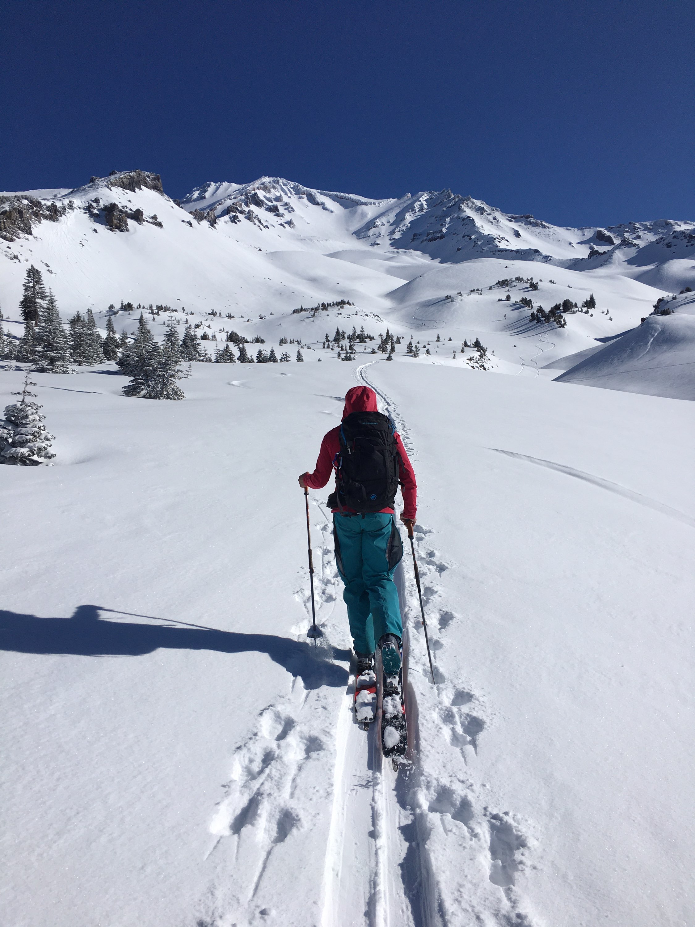
Avalanche Gulch

Location Name:
Mount ShastaRegion:
Mt. ShastaDate and time of observation:
Wed, 03/25/2020 - 8:30amObservation made by:
ForecasterLocation Map
96067
Mount Shasta
, CA
United States
41° 23' 4.362" N, 122° 12' 56.8224" W
See map: Google Maps
California US
Snowpack Observations
Details
Photos
Weather Observations
Statistics
Cloud Cover:
25% of the sky covered by cloudsBlowing Snow:
NoPrecipitation:
NoneAccumulation rate:
NoneAir temperature:
Below FreezingAir temperature trend:
StaticWind Speed:
Calm

March 25, 2020 (20200325) - 0830hrs - Meyers
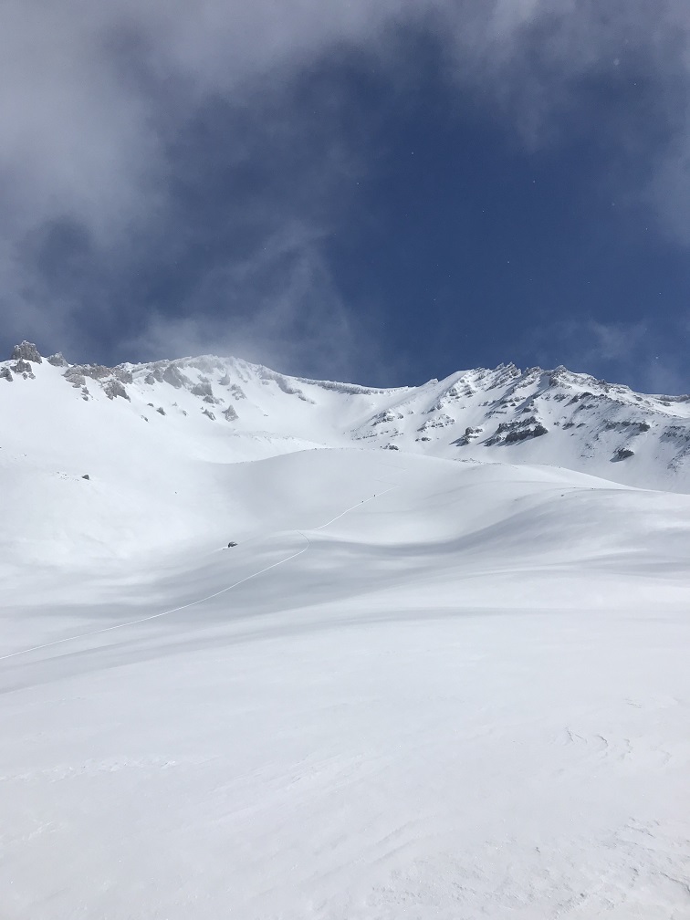
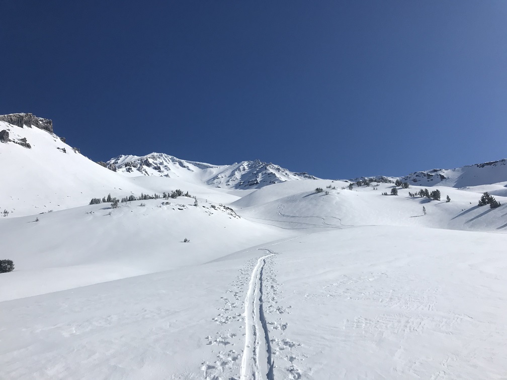
AVALANCHE GULCH
SKY: Clear in early morning, incoming low clouds ~1030hrs
PRECIP: No, flurries at times, little to no accumulation
WIND: Calm
BLOWING SNOW: No, but snow available for transport
AIR TEMP: 26F
SURF PEN: 6 inches (15cm) (down to old, supportable crust)
HEIGHT OF SNOWPACK(HS): ~73inches (185cm)
HEIGHT OF NEW SNOW (HN): 3-4 inches (10cm) below treeline / 4-6 inches (15cm) near/above treeline
SNOW SURFACE: Smooth below treeline, uniform coverage (new snow) - near treeline transitional to lightly wind affected snow above treeline.
NOTES: No obvious signs of danger. Perhaps small, isolated wind slabs possible in leeward, steep terrain along ridges/bowls. Likely not large enough to bury a person. Did not see anything notable in Avalanche Gulch proper. New snow still available for wind transport. Would pay attention to any temporal spikes in wind for the near future.