

You are here
Beginning of Storm - Gray Butte

Location Name:
Gray ButteRegion:
Mt. ShastaDate and time of observation:
Mon, 03/08/2021 - 3:00pmObservation made by:
ForecasterLocation Map
96067
Mount Shasta
, CA
United States
41° 20' 49.812" N, 122° 11' 43.656" W
See map: Google Maps
California US
Snowpack Observations
Details
Photos
Weather Observations
Statistics
Cloud Cover:
100% of the sky covered by cloudsBlowing Snow:
NoPrecipitation:
SnowAccumulation rate:
Greater than 1 in. per hourAir temperature:
Below FreezingAir temperature trend:
StaticWind Speed:
LightWind Direction:
Southwest

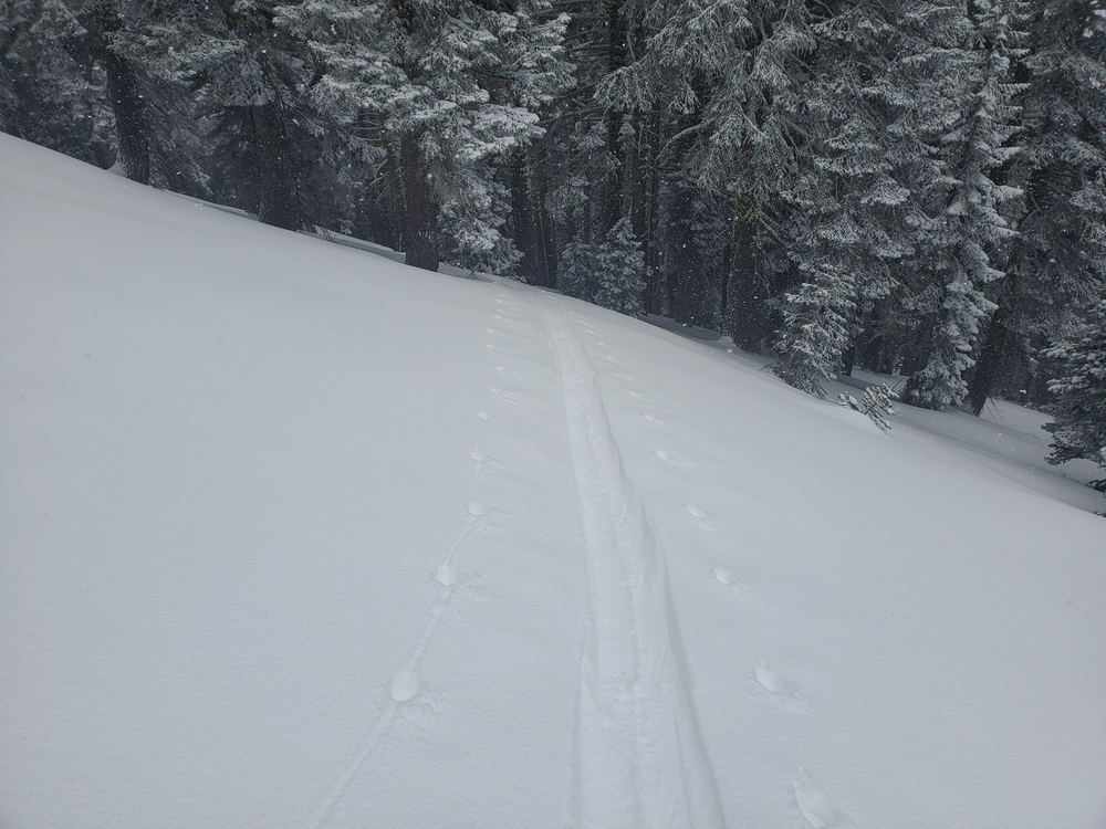
On a tour up Gray Butte early in today's storm, winds were calm to light and 2-5 inches of new light snow were encountered. No wind slabs were forming. Conditions were very "sloughy". New snow was not bonded to the underlying melt-freeze crust that had formed yesterday and sloughs were easy to trigger.
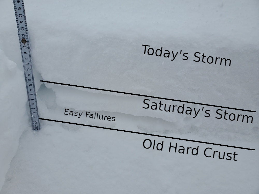
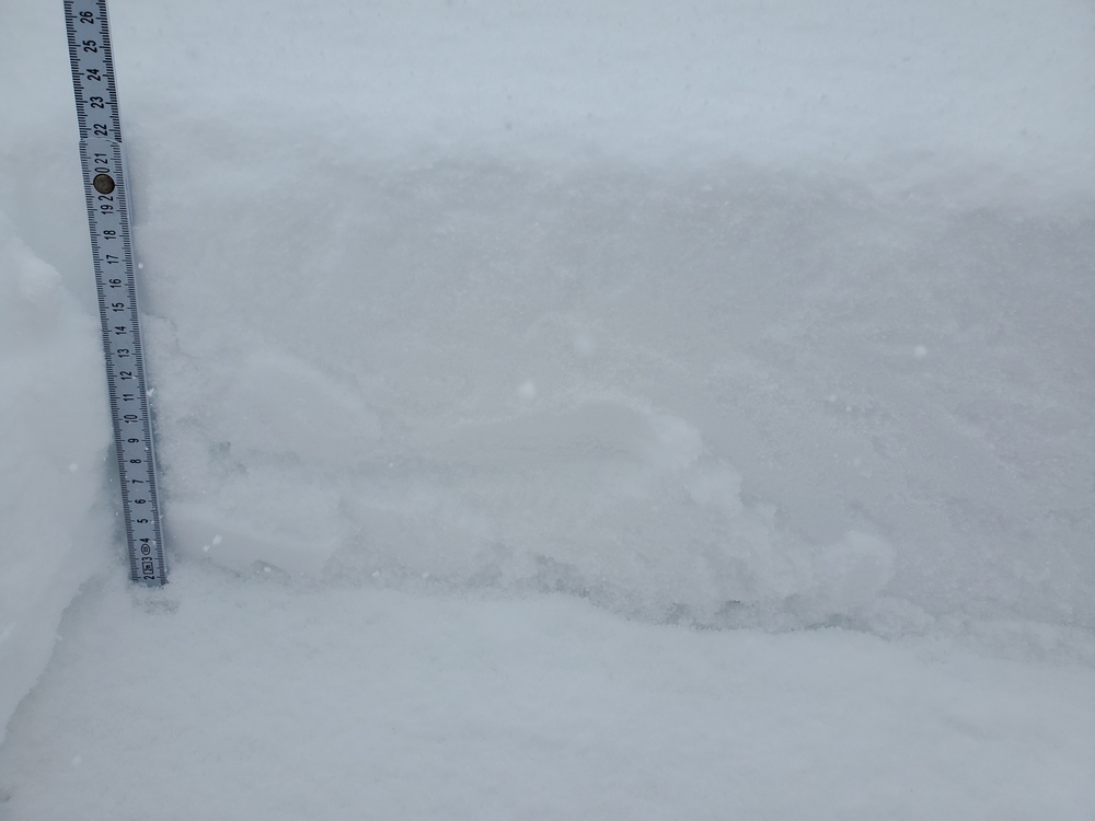
Snow from Saturday's storm is thin and has an upside down configuration - a melt-freeze crust on top of light snow on top of the old, hard pre-Saturday crust. CT tests indicate a concerning weakness in the light snow between the two crusts. See photo below. More snow and weight could activate this weakness.