

You are here
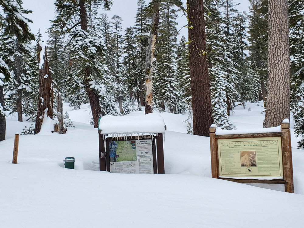
Brewer Creek
Location Name:
Brewer CreekRegion:
Mt. ShastaDate and time of observation:
Mon, 03/09/2020 - 1:30pmObservation made by:
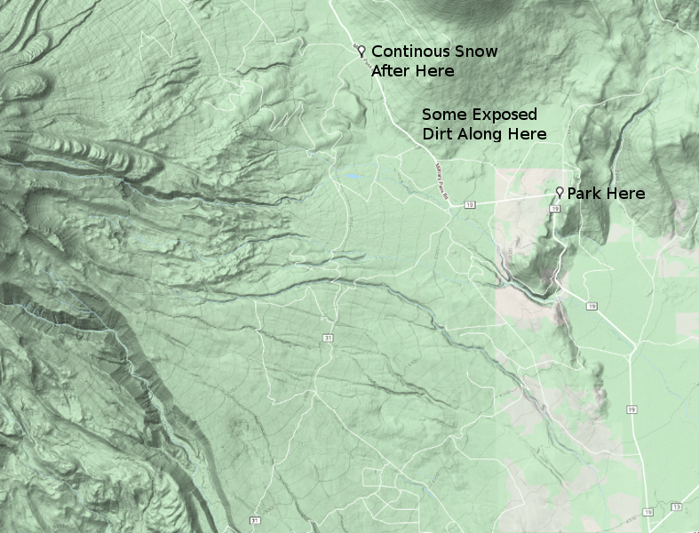
ForecasterLocation Map
96067
Mount Shasta
, CA
United States
41° 25' 31.7352" N, 122° 9' 31.086" W
See map: Google Maps
California US
Snowpack Observations
Details
Photos

Weather Observations
Statistics
Cloud Cover:
75% of the sky covered by cloudsBlowing Snow:
NoPrecipitation:
NoneAccumulation rate:
NoneAir temperature:
Above FreezingAir temperature trend:
StaticWind Speed:
LightWind Direction:
Northwest

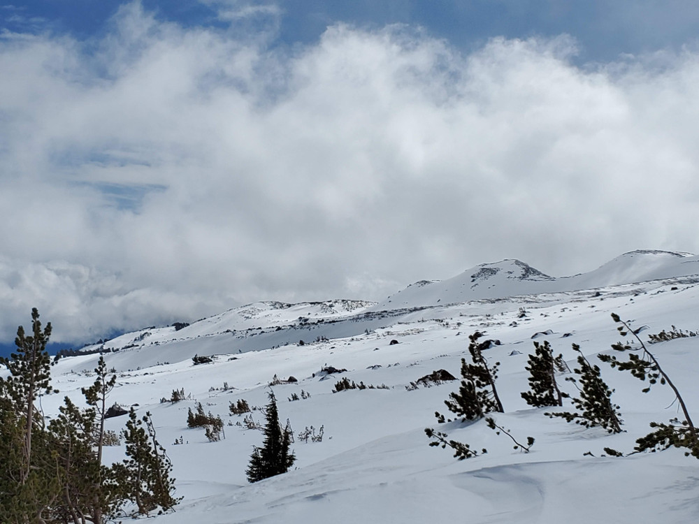
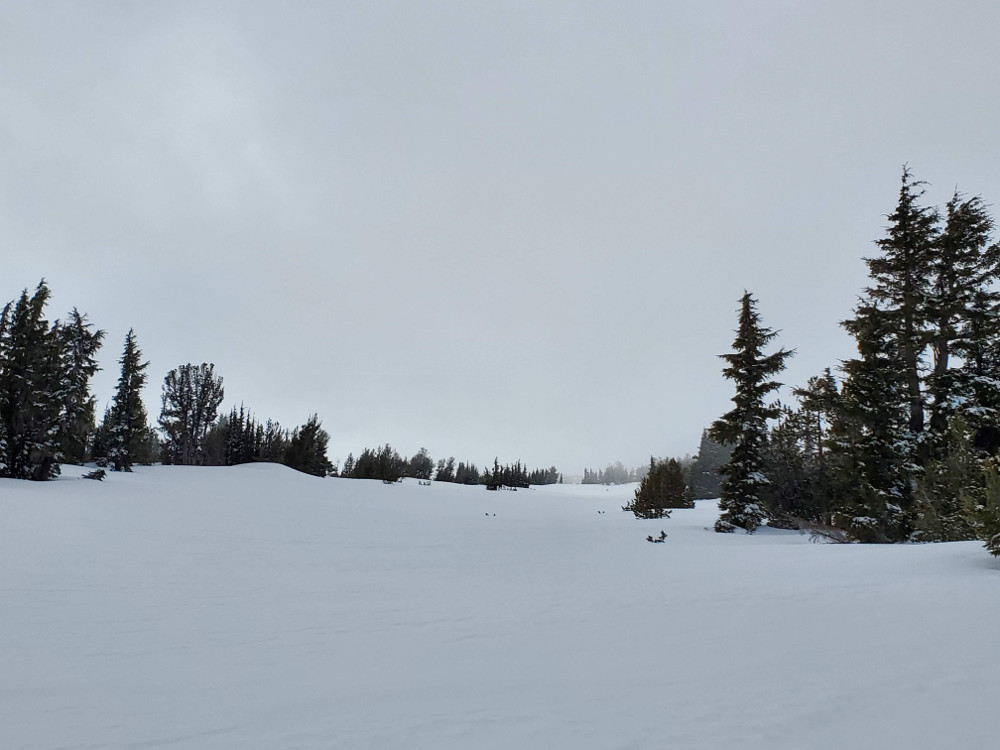
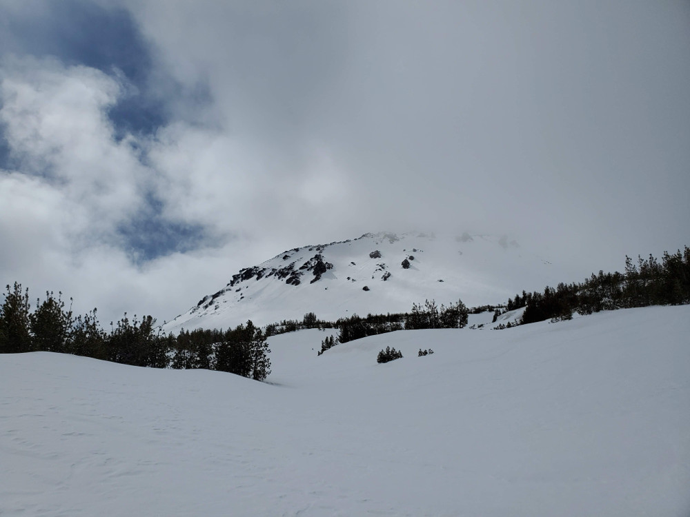
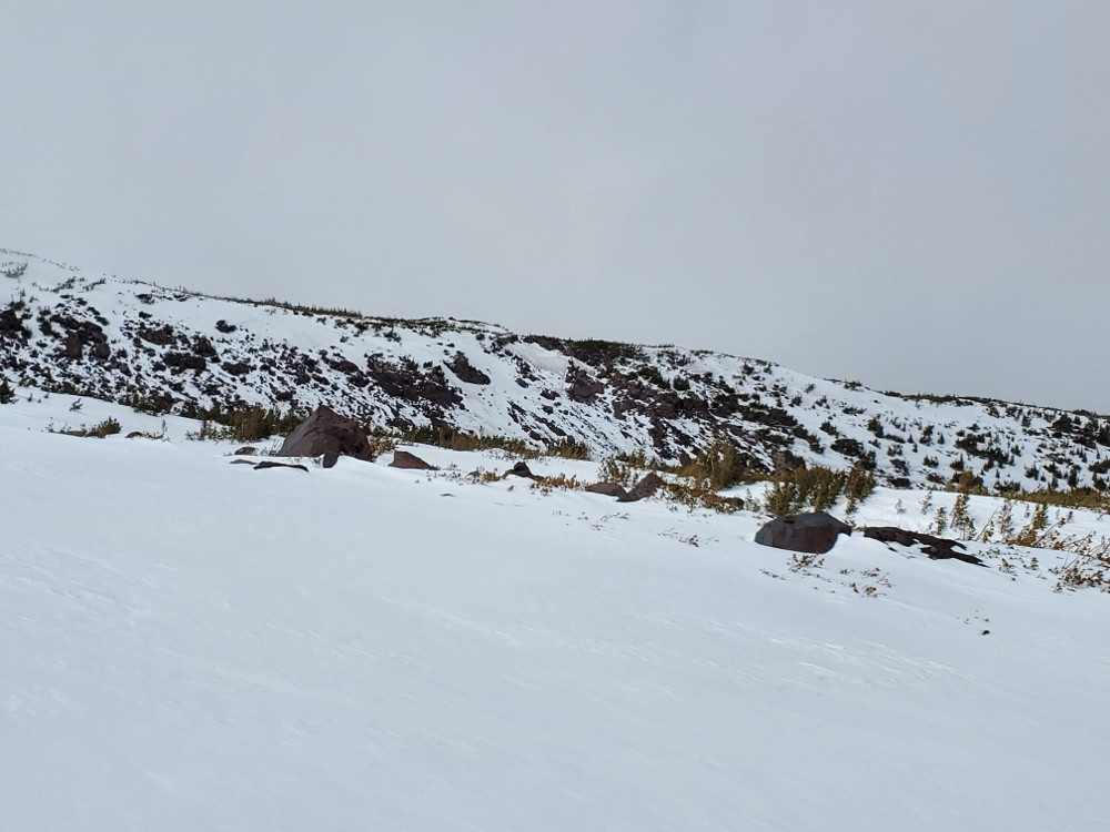
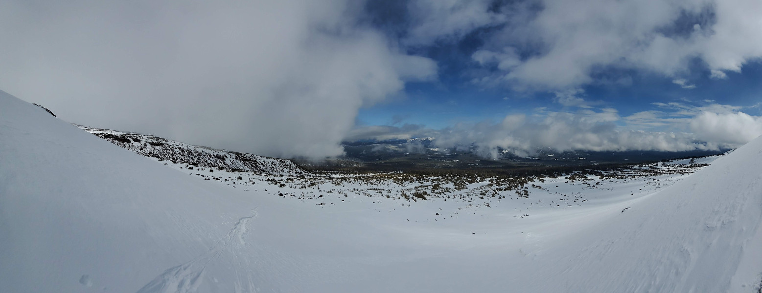
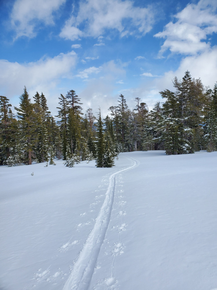
Conditions on the northeast side of Mount Shasta in the Brewer Creek area:
The northeast side of Mount Shasta has around 20 cm (8 in) of new, low density snow above 6,400 ft up to near treeline zones. New snow thins out (2-3 inches) as you transition above treeline. Depth of the snowpack varies depending on exposure to wind. Lower elevations have more snow than mid-elevations (145 cm vs. 80 cm).
No signs of instability were seen.