

You are here
Brewer Creek / East Side Mt Shasta

Location Name:
Brewer Creek / East Side Mt ShastaRegion:
East of Mt ShastaDate and time of observation:
Wed, 12/07/2022 - 2:30pmObservation made by:
AmbassadorRed Flags:
Location Map
96067
Mount Shasta
, CA
United States
41° 20' 10.6728" N, 121° 59' 48.408" W
See map: Google Maps
California US
Snowpack Observations
Details
Photos
Weather Observations
Statistics
Cloud Cover:
ClearBlowing Snow:
NoPrecipitation:
NoneAccumulation rate:
NoneAir temperature:
Above FreezingAir temperature trend:
CoolingWind Speed:
CalmWind Direction:


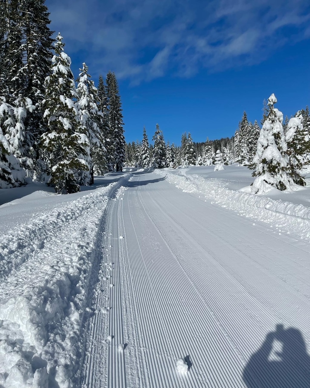
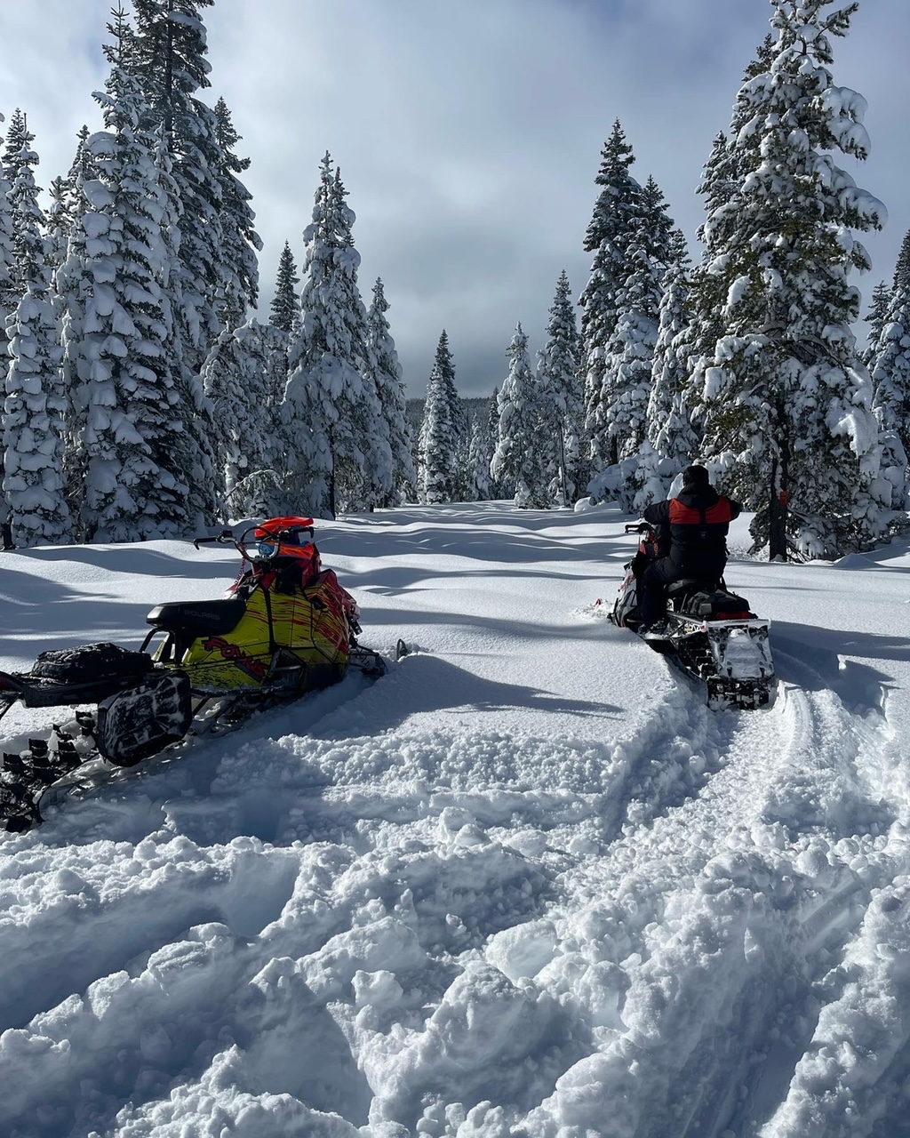
The Pilgrim Creek snopark is open and one is able to park rigs and launch a snowmobile from the snopark proper. Fresh grooming operations by the US Forest Service are happening, and the riding is good. Off piste, boondocking is still a little dicey. Riders will be lured into wide open clear-cuts, but watch out for those stumps! Please be mindful of the non-motorized, Mt Shasta Wilderness boundary. Carry a map and know your location. CLICK HERE for maps and more info about riding out east of Mt Shasta. It's amazing!