

You are here
Castle Lake Basin

Location Name:
Castle LakeRegion:
Castle LakeDate and time of observation:
Thu, 01/07/2021 - 11:30amObservation made by:
ForecasterRed Flags:
Recent loading by new snow, wind, or rain
Location Map
96067
Mount Shasta
, CA
United States
41° 13' 23.2176" N, 122° 23' 13.9056" W
See map: Google Maps
California US
Snowpack Observations
Details
Photos
Weather Observations
Details
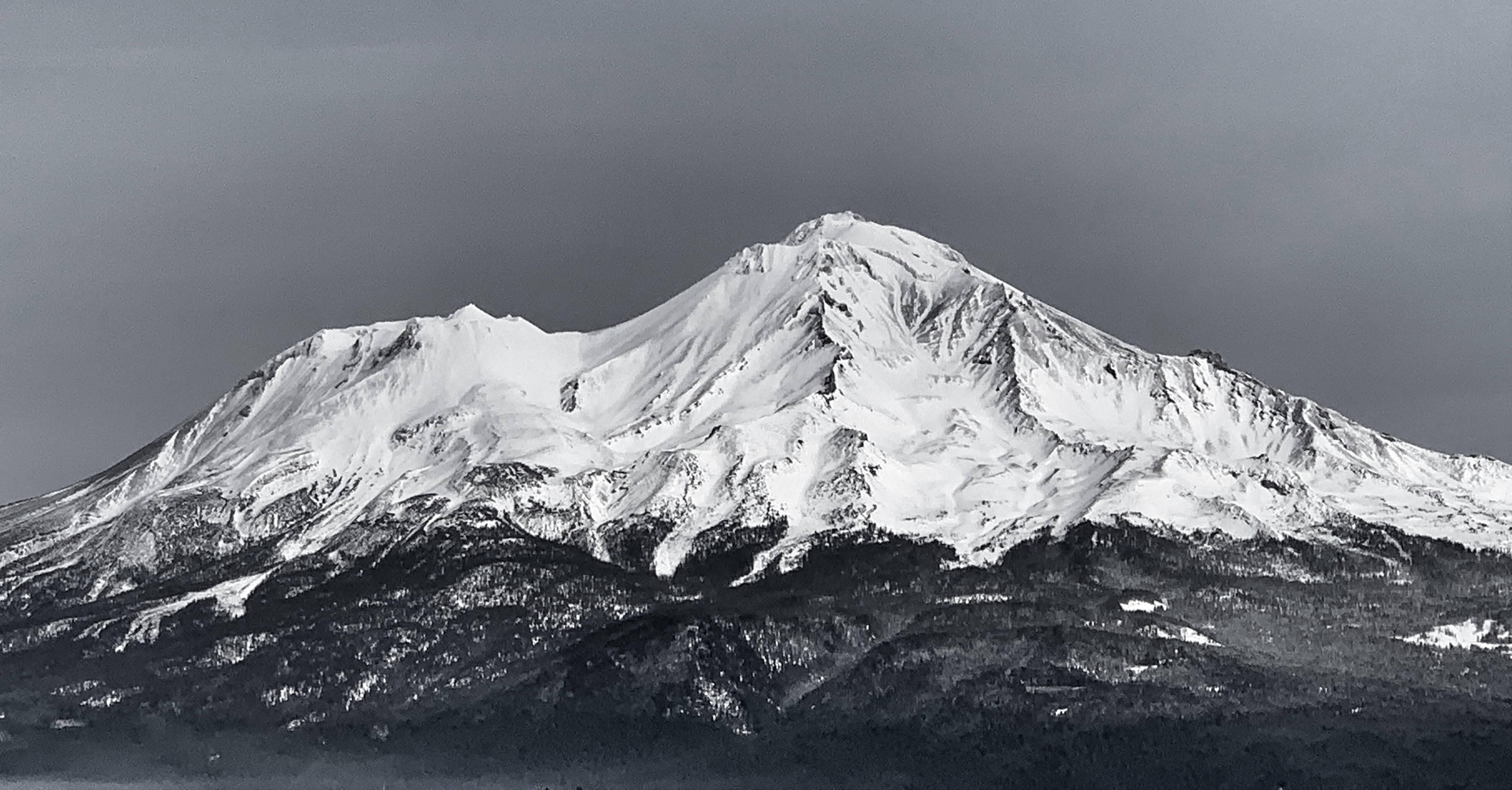
Mostly clear, warm, high of 43°F at 1300 hours. Windy again on Mount Shasta itself, blowing out of the NW/W/SW, but not as much on the west side of I-5/Castle Area. A lenticular formed late in the day on the mountain, a classic sign of high wind.
Statistics
Cloud Cover:
50% of the sky covered by cloudsBlowing Snow:
NoPrecipitation:
NoneAccumulation rate:
NoneAir temperature:
Above FreezingAir temperature trend:
CoolingWind Speed:
LightWind Direction:
South

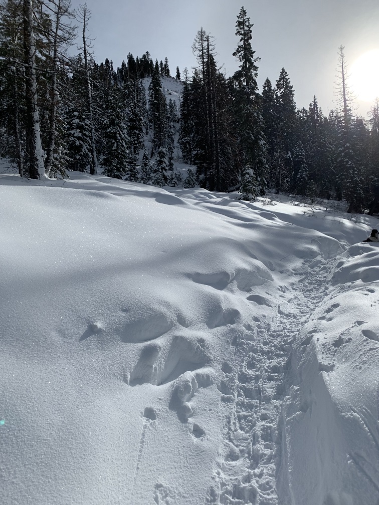
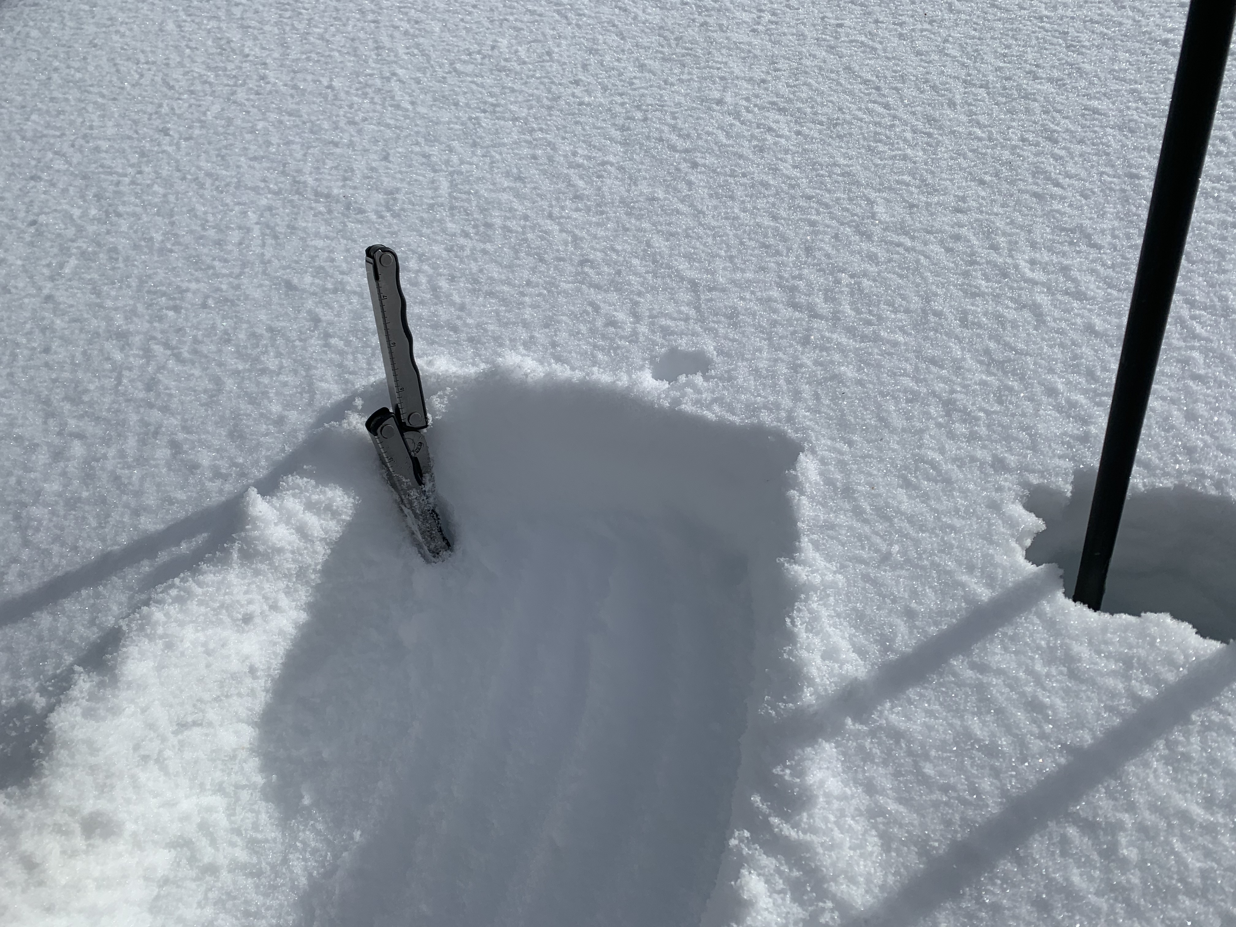
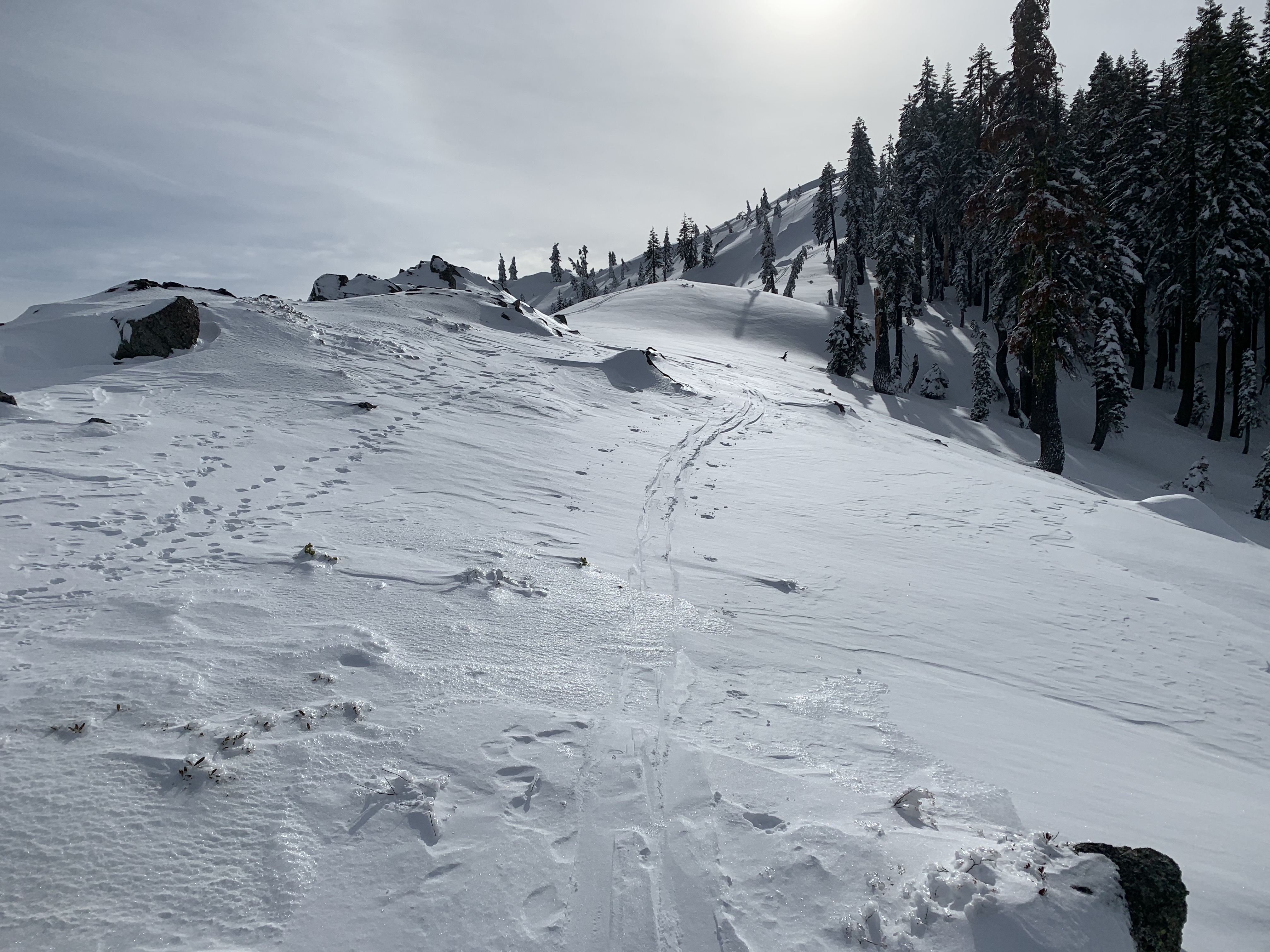
Castle Lake tour, the first of winter with skis on the feet. Finally, a (barely) usable snowpack up there with an average snow depth of 30-35 inches. A mostly clear day with scattered, high clouds and light S/SW wind with moderate gusts, near and above treeline. Winds were strongest only on the highest ridges. New snow observed 1 to 3 inches.
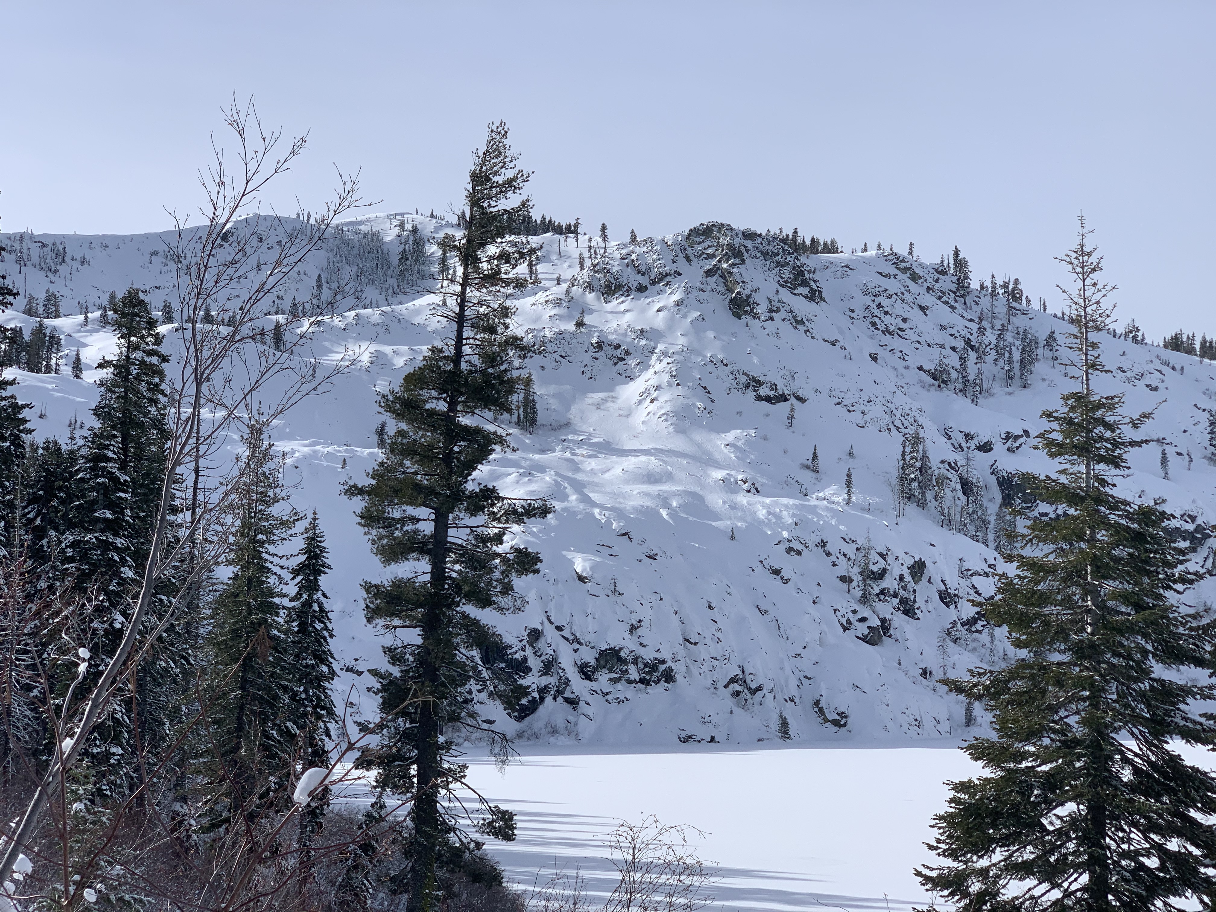
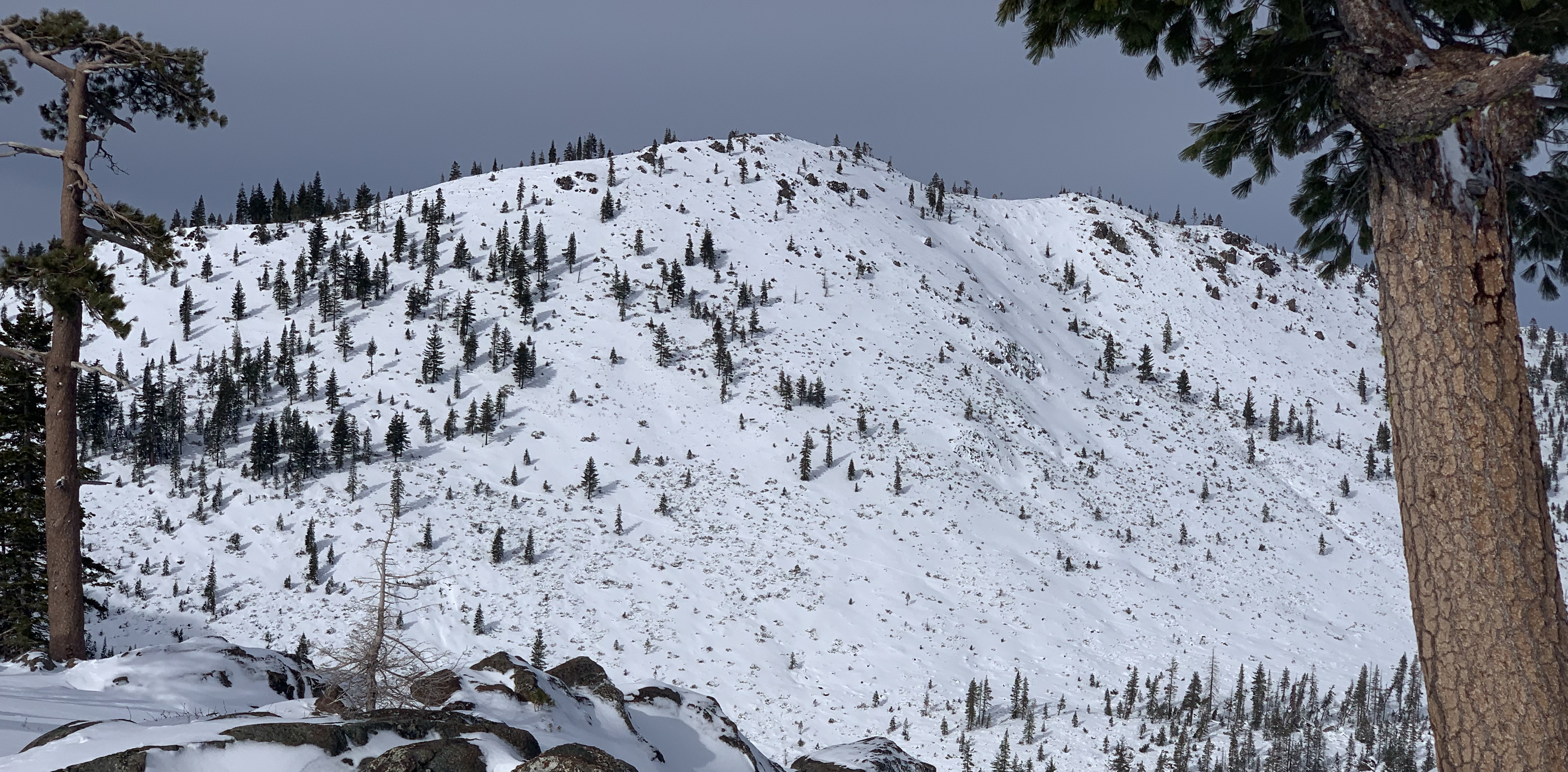
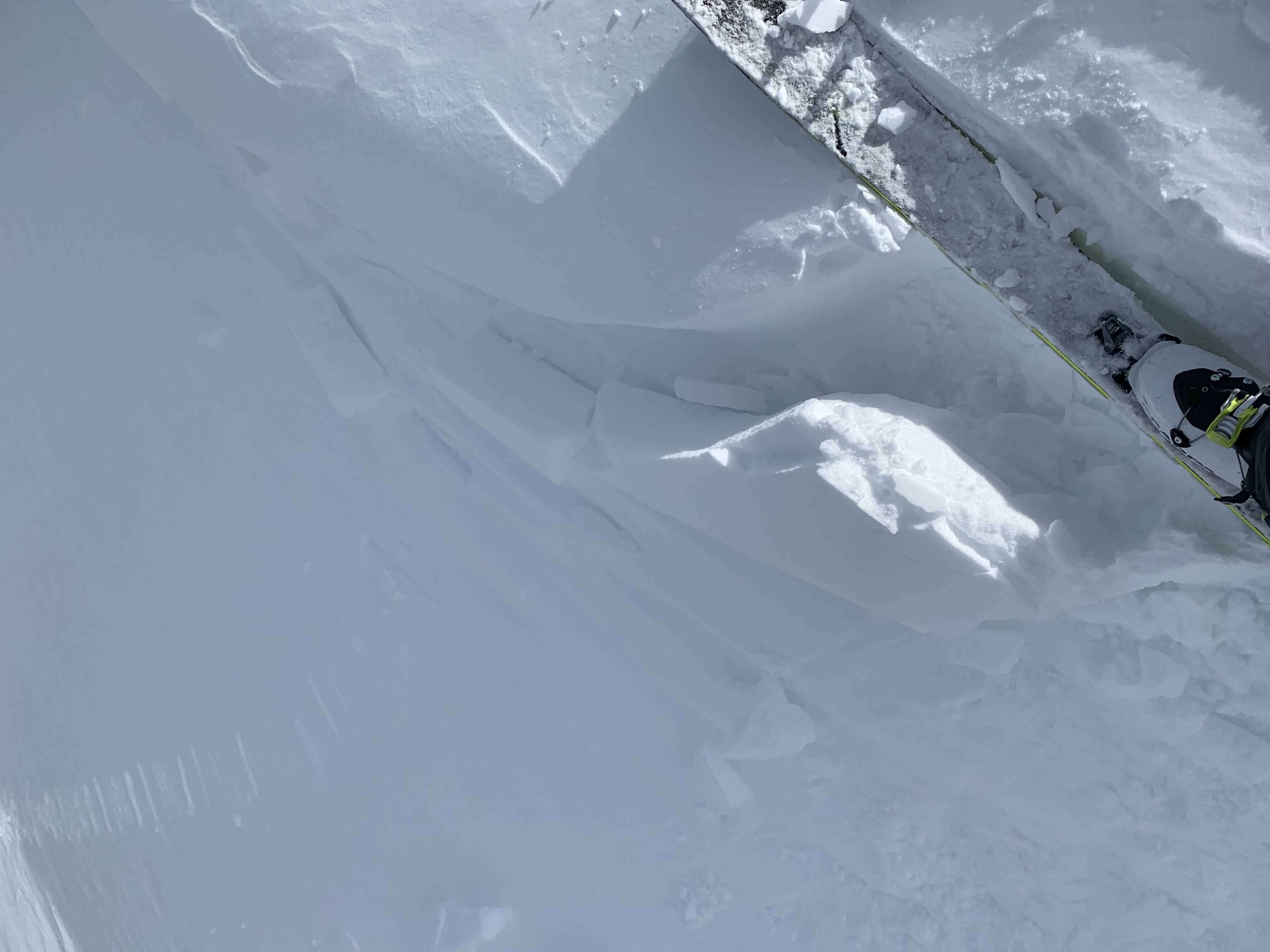
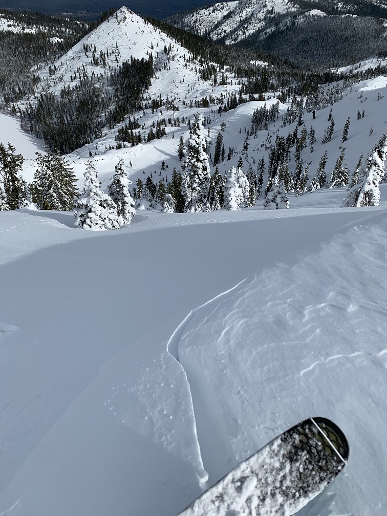
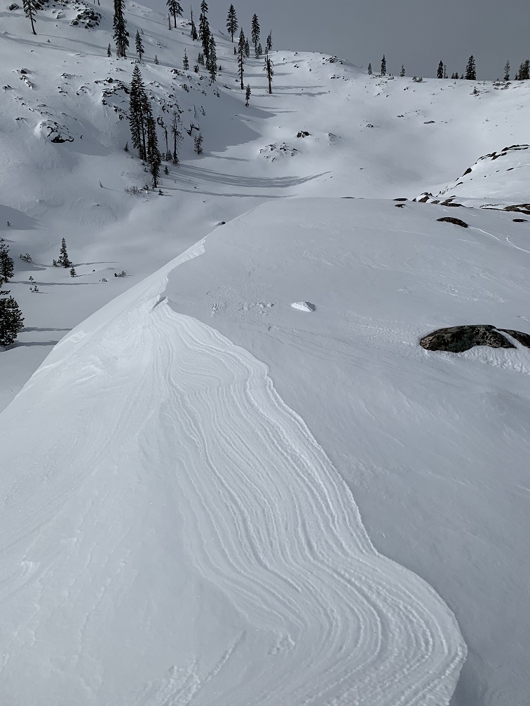
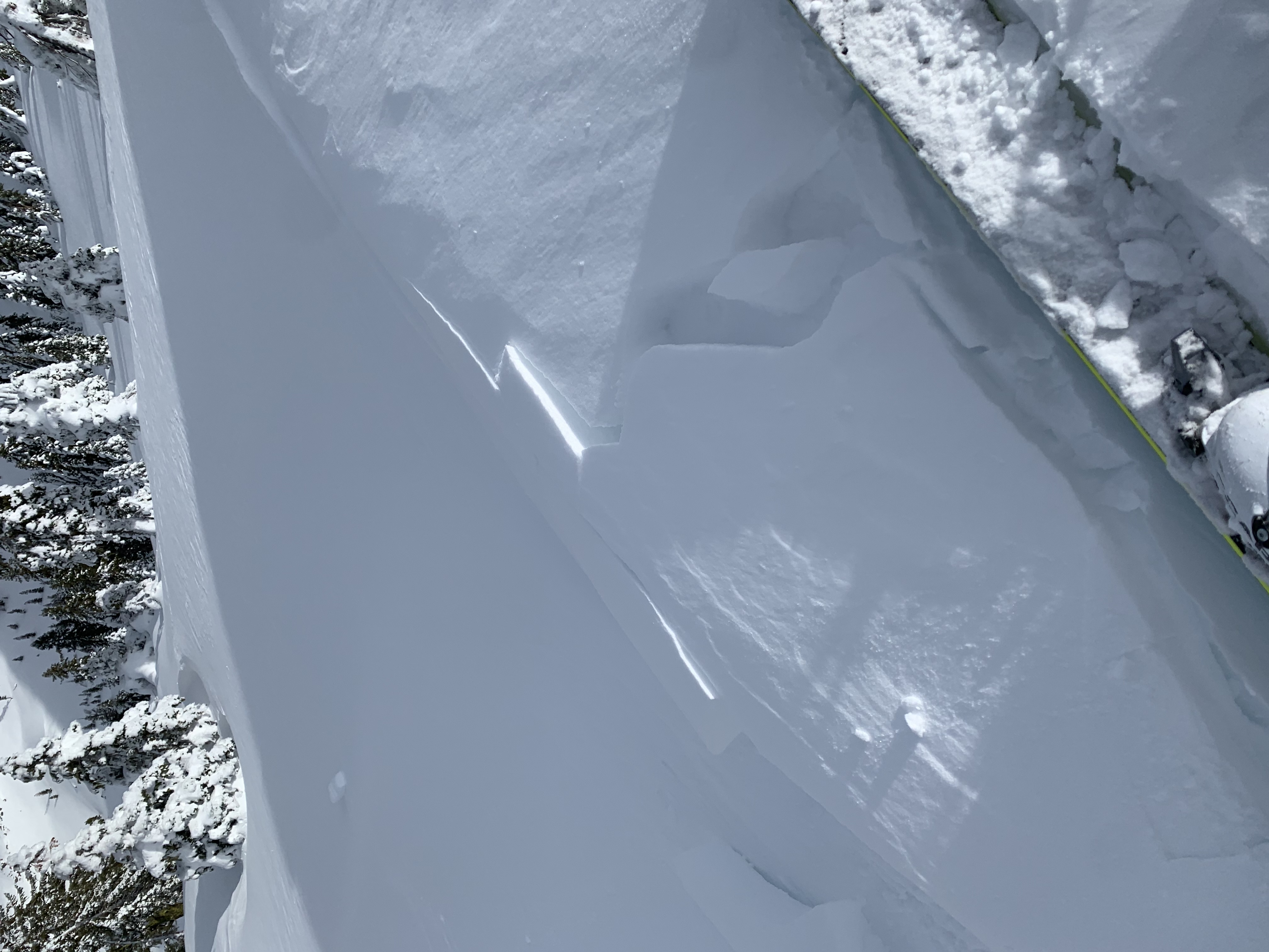
Overall stable conditions at Castle Lake. I took a circuitous route to Heart Lake and continued up to Middle Peak, stomping around on many, small test slopes. Small wind slabs and cornices near ridge lines were easily triggered. Larger avalanches on a slope scale not likely. Wind slabs varied from 6 inches to 1 foot deep. Wind transport was minimal today, though previous wind was evident, a lot of westerlies moving snow toward NE/E/SE facing slopes. Windward NW/W/SW facing ridge lines are scoured to rock and ice. Where snow exists and exposed to wind, expect firm wind packed powder. Shady and/or protected slopes still hold soft powder. Snow surfaces are generally smooth. For those sunny slopes, warm temps today (43° F at 1300) are likely to create a crust for tomorrow. The days are getting longer! Castle Lake is frozen and supportable. Right Peak has a good bit of Manzanita still showing. Middle Peak offers the best skiing. Left Peak is marginal at best. Definitely watch for rocks, bushes, stumps and other assorted goods. The road is plowed, bathrooms are open.