

You are here
Castle Lake Snowpack Observations

Location Name:
Middle PeakRegion:
Castle LakeDate and time of observation:
Fri, 01/07/2022 - 11:00amObservation made by:
ForecasterLocation Map
96067
Mount Shasta
, CA
United States
41° 13' 12.6552" N, 122° 23' 11.0148" W
See map: Google Maps
California US
Snowpack Observations
Details
Photos
Videos
Weather Observations
Statistics
Cloud Cover:
100% of the sky covered by cloudsBlowing Snow:
YesPrecipitation:
SnowAccumulation rate:
Less than 1 in. per hourAir temperature:
Below FreezingAir temperature trend:
CoolingWind Speed:
ModerateWind Direction:
West

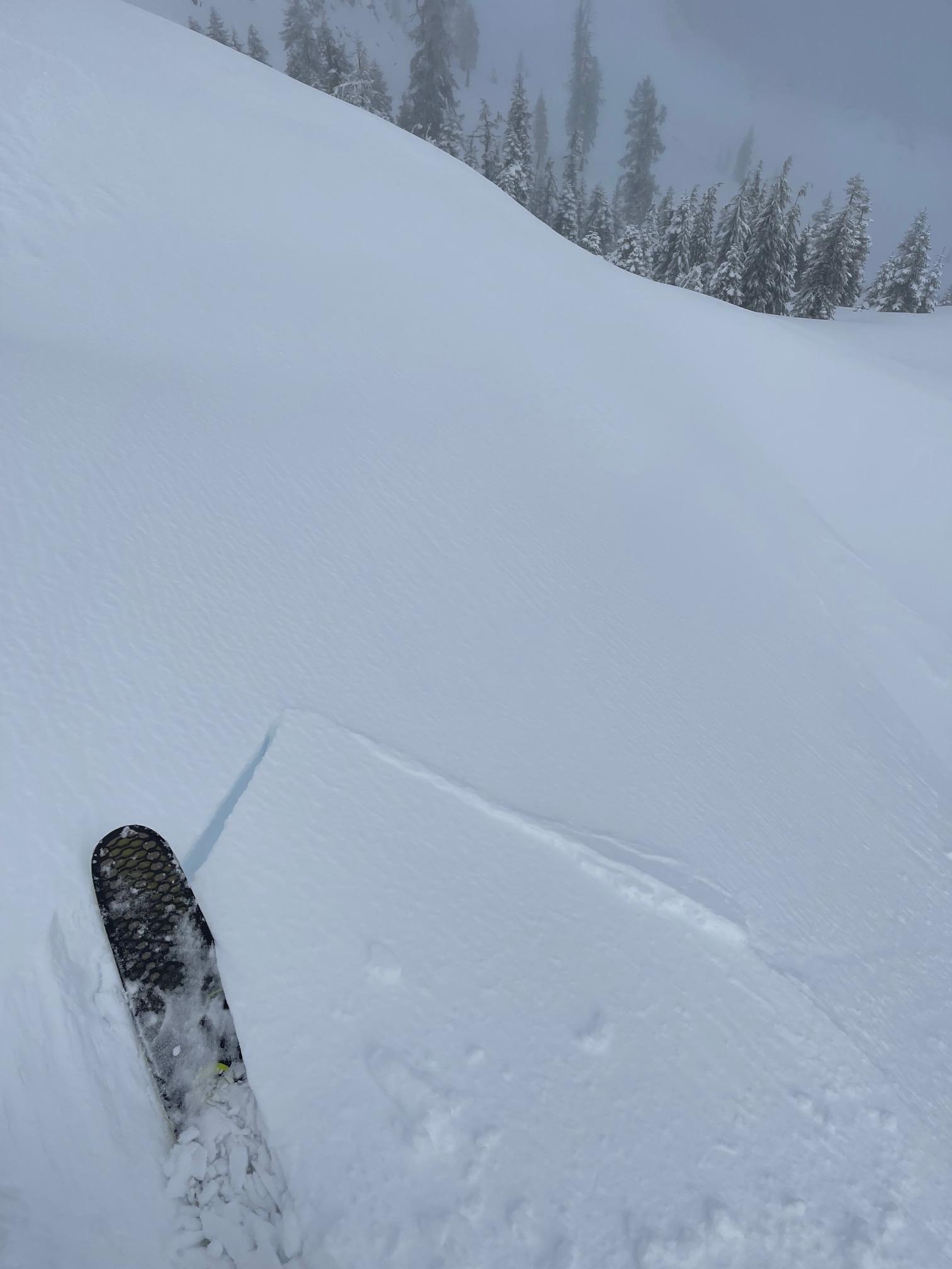
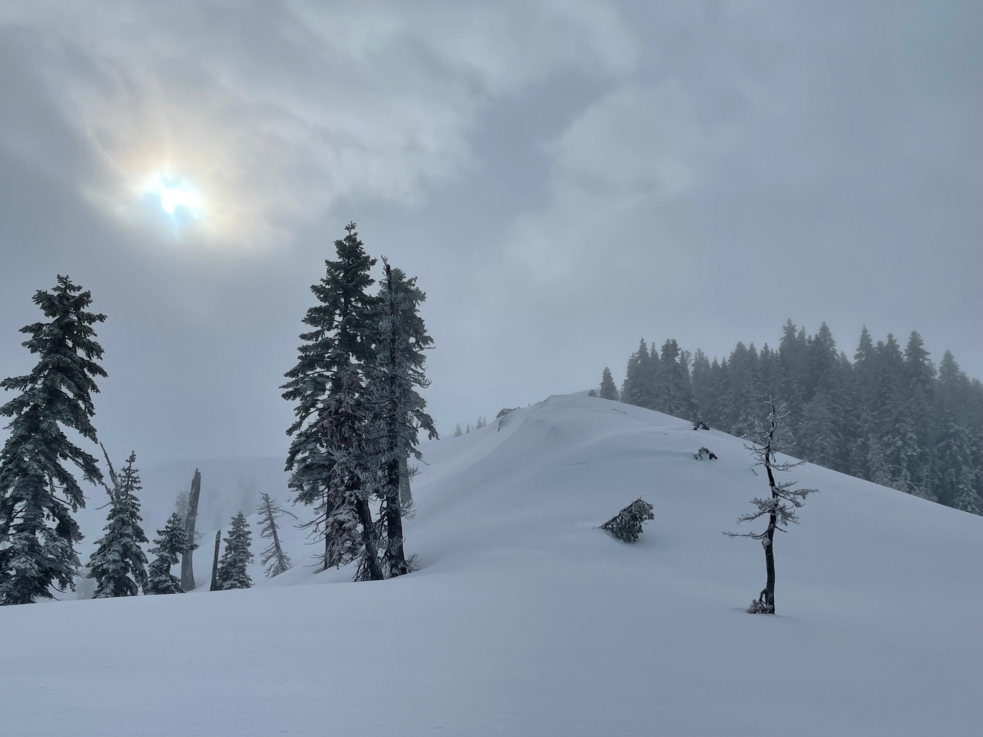
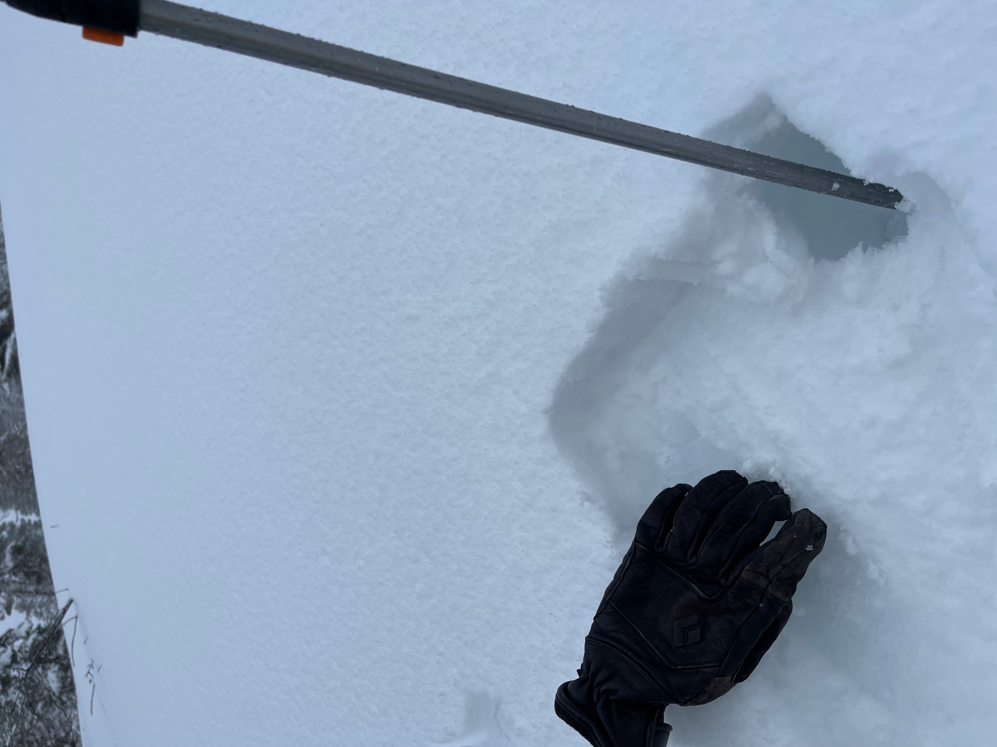
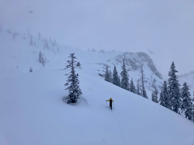
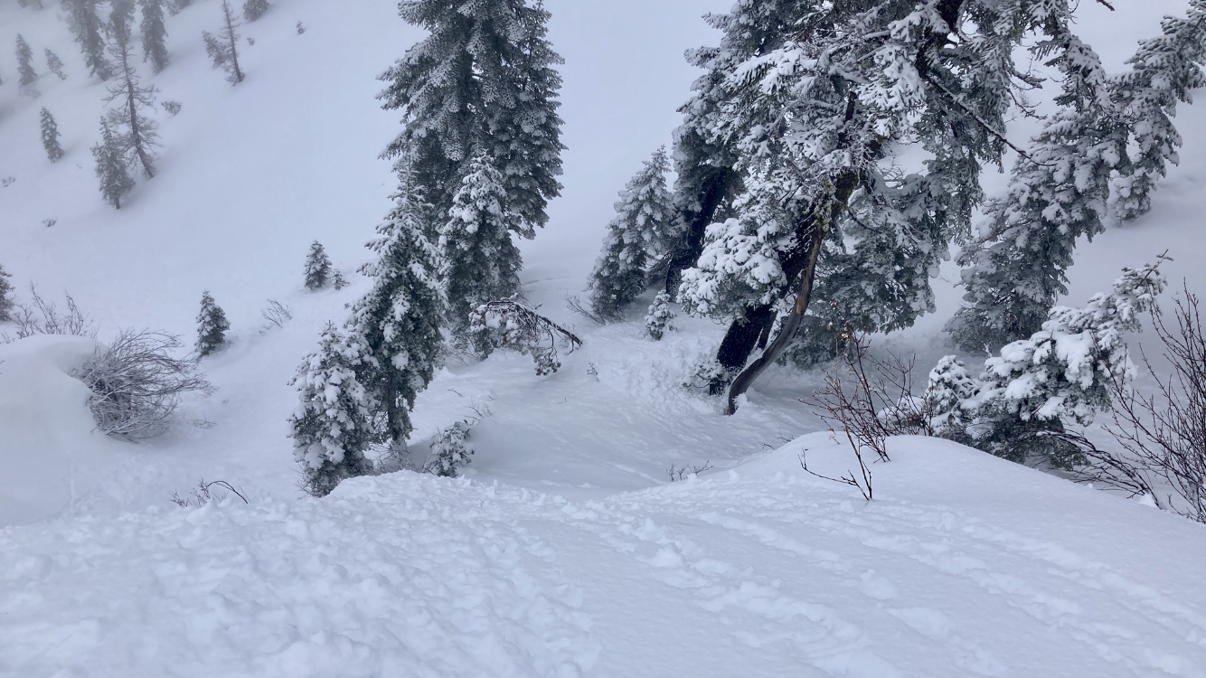
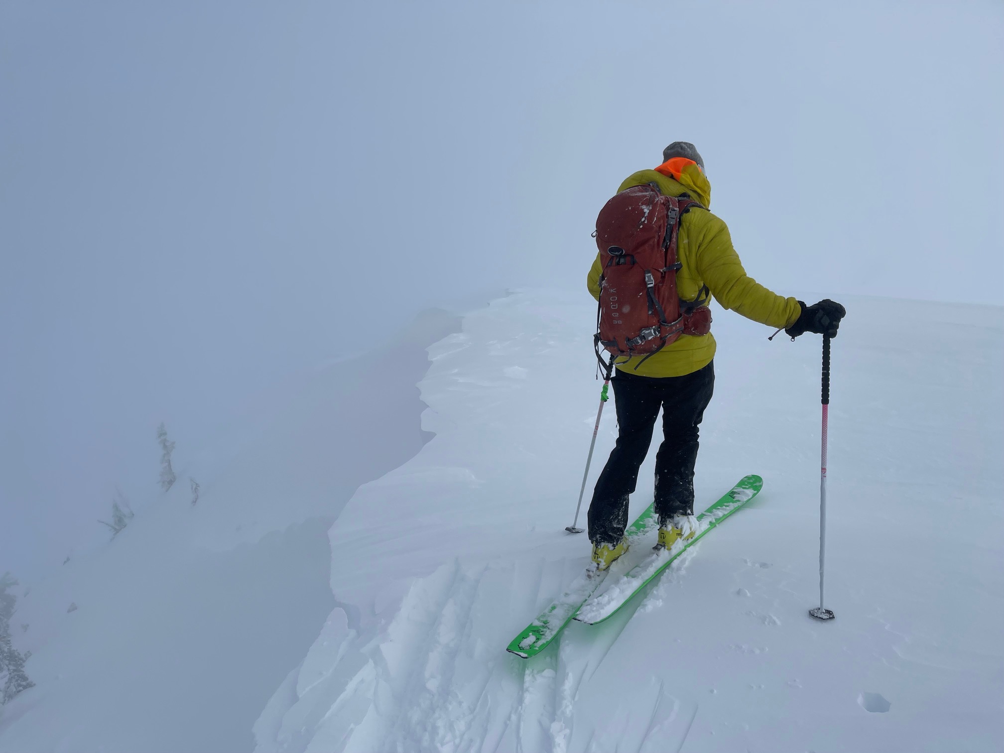
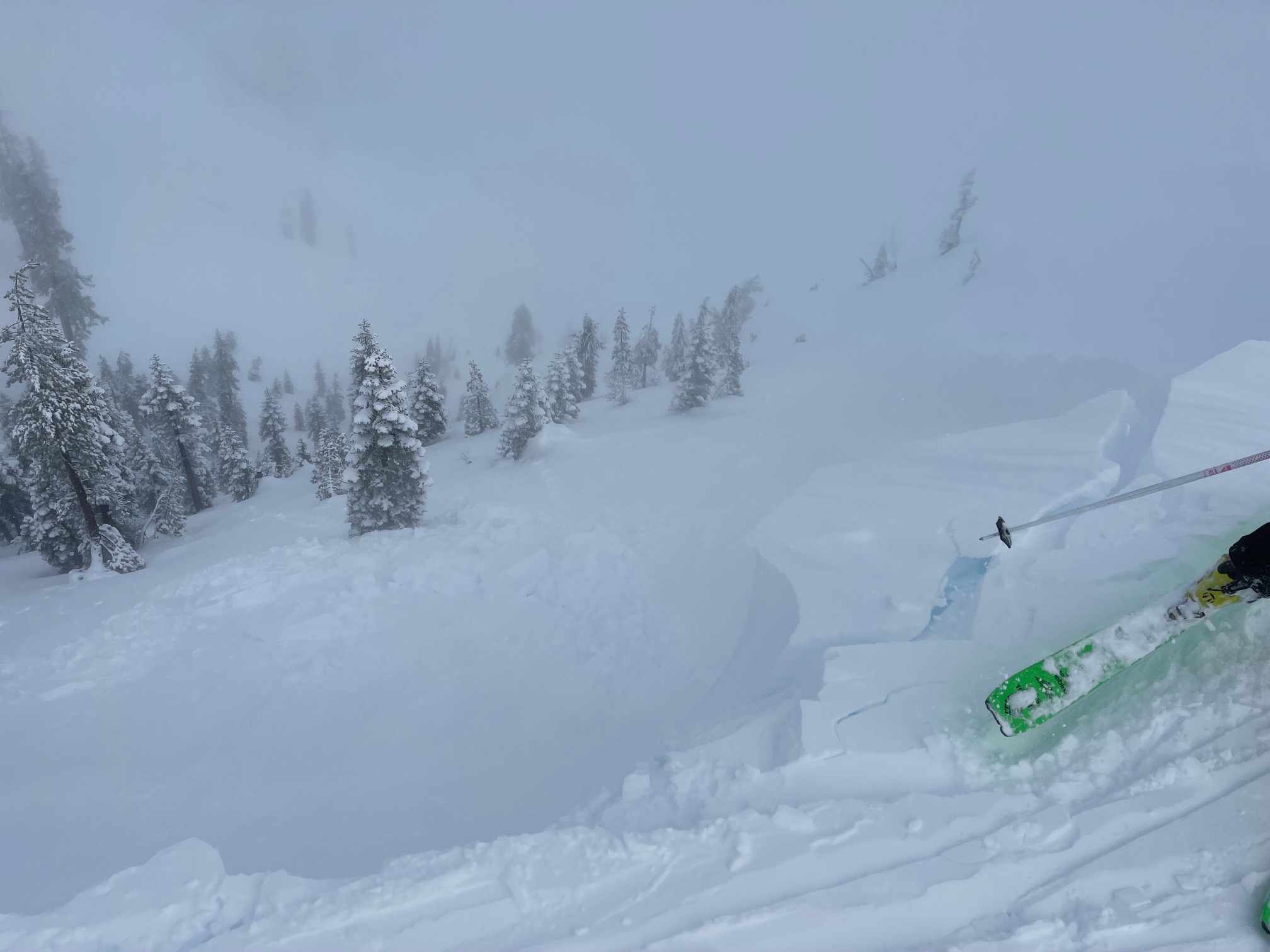
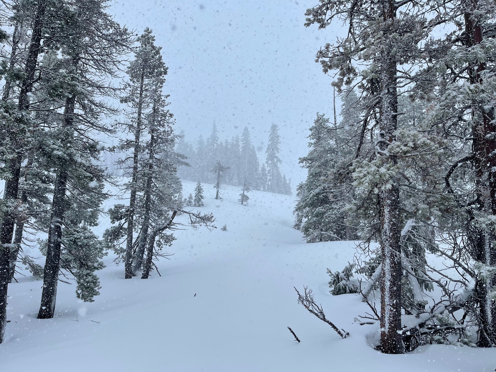
A Middle Peak tour in the Castle Lake area today. High pressure is building for the future, but we received a nice refresher from the small storm today. Most of the 2-4 inches of new snow came down during the early AM hours on 1/7 and into the noon hour. Visibility was poor most of the time during our tour. Below treeline, loose wet slides were easily triggered from ski cuts. This avalanche problem was a bit of a surprise as temperatures have been below freezing. Near and above treeline, the westerly wind became known. Moderate wind speeds were doing a good job moving snow onto easterly aspects, and crossing loading NW-SW aspects. Cornices and small wind slabs were reactive to human weight, but none big enough to pose a life threat. As wind continues, we advise using caution in steep, extreme terrain with wind loading. Even a small slab can cause a long fall, sometimes into terrain of consequence. Perhaps the most notable avalanche problem today was the loose wet slides below treeline. The new snow greased off the old easily, and entrained enough snow while sliding down the slope to potentially knock a rider off their feet. This problem is likely short-lived.
The lake is frozen and supportable for foot and ski traffic. One ice fisherman was giving it a go. The ice is ~1 foot thick with snow on top. The road is open, plowed and in good shape. 1.7.22