

You are here
Clear Creek Access

Location Name:
Clear Creek AccessRegion:
Mt. ShastaDate and time of observation:
Wed, 02/21/2018 - 10:30pmObservation made by:
ForecasterRed Flags:
Location Map
96067
Mount Shasta
, CA
United States
41° 21' 44.9028" N, 122° 5' 32.7624" W
See map: Google Maps
California US
Snowpack Observations
Details
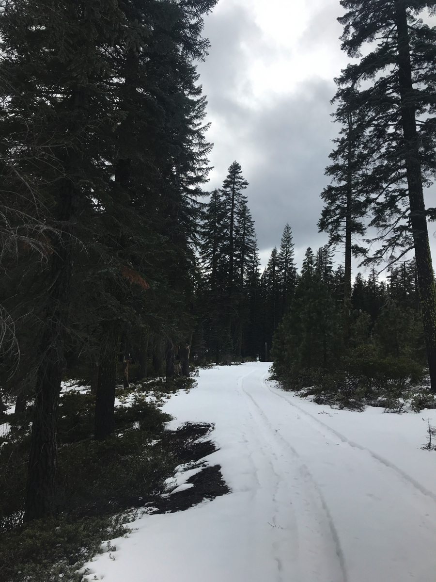
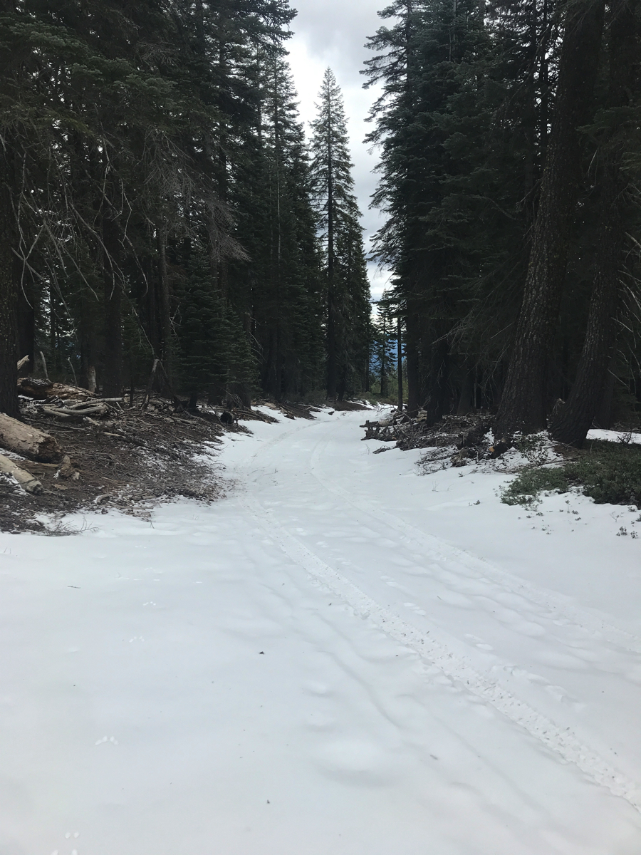
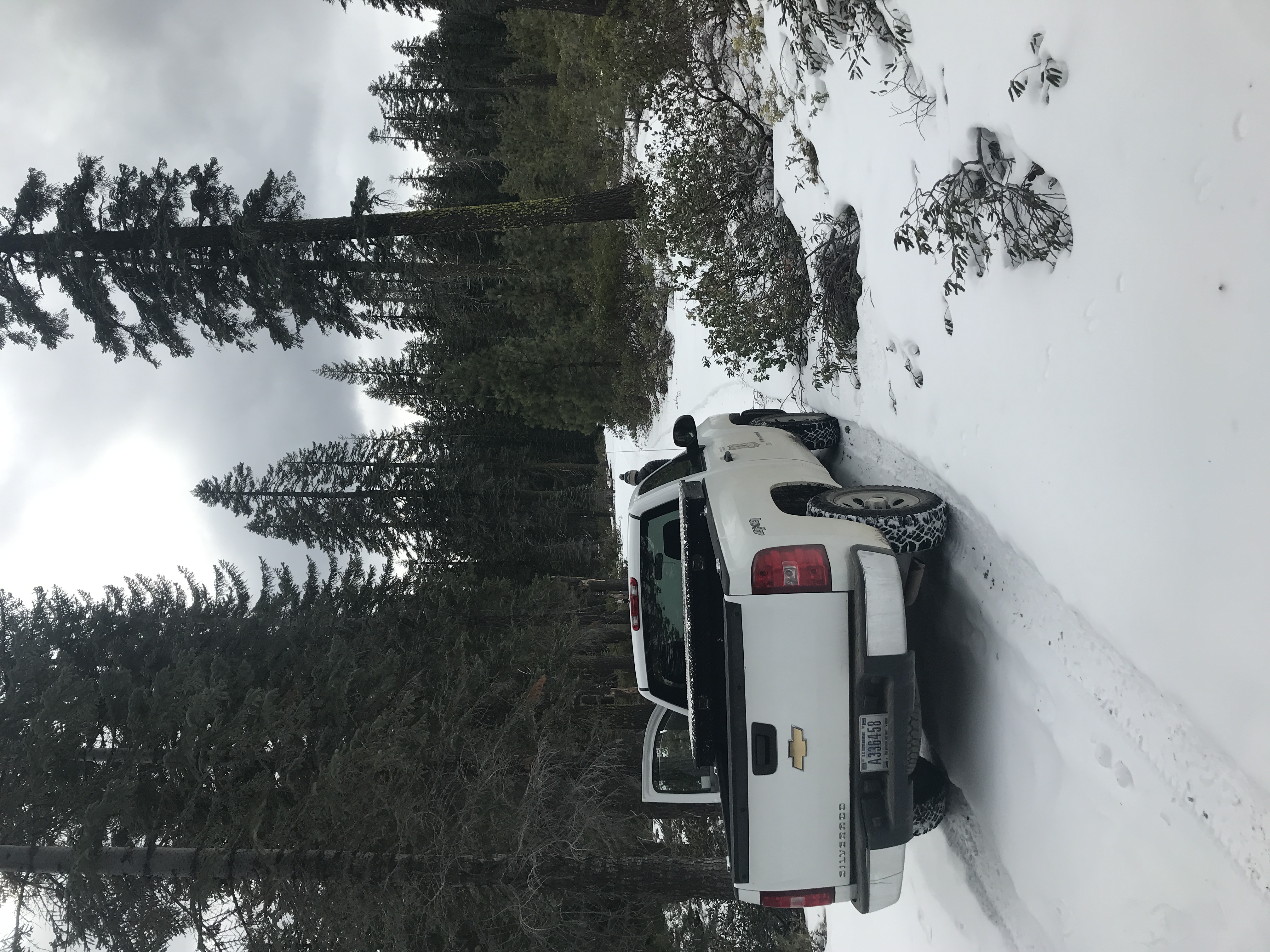
- Trailhead access scouting mission
- Clear Creek road driveable to 5,700 feet, .7 miles past the road 31/clear creek road junction
- With 4wd, road is driveable approximately 1 mile past junction
- This leaves approximately 2 miles of snow covered road to the trailhead. Patches of dirt are likely.
- Logging operations ongoing on Clear Creek road
- 0-6 inches of snow on ground at 5,700 feet
- Snow very hard, hard enough to support a small truck.
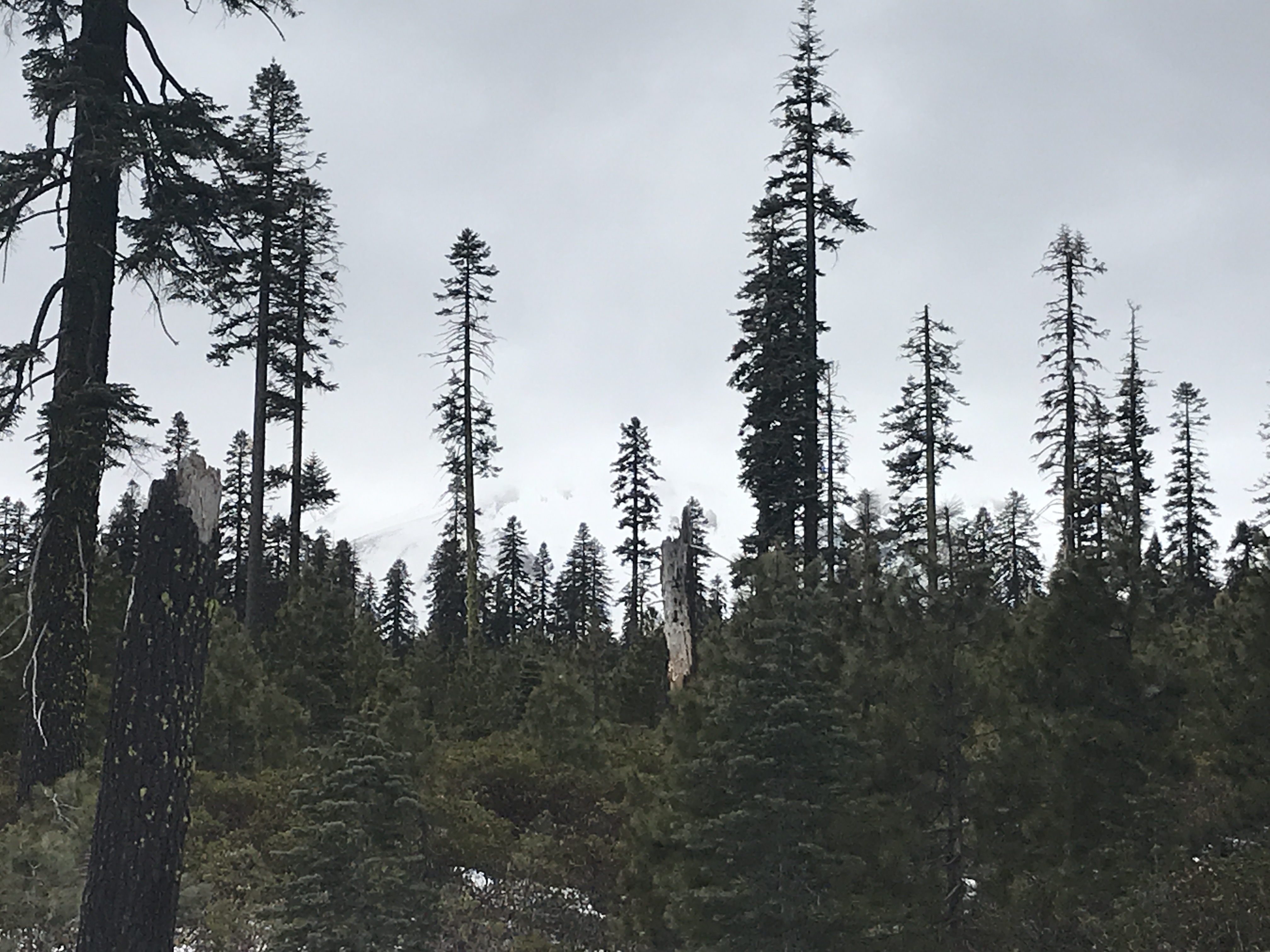
- Clear Creek route mostly hidden through the mist, though through brief glimpses, the route looked scoured, especially along the northern flank of Mud Creek Canyon. This route typically gets hammered by both southerly and northerly winds, stripping away snow easily.
Photos
Weather Observations
Statistics
Cloud Cover:
75% of the sky covered by cloudsBlowing Snow:
NoPrecipitation:
NoneAccumulation rate:
NoneAir temperature:
Below FreezingAir temperature trend:
StaticWind Speed:
CalmWind Direction:
Northwest
