

You are here
Crater Lake National Park, Garfield Peak, Forecaster's Day Off
Location Name:
Crater Lake National ParkRegion:
Outside of the Forecast AreaDate and time of observation:
Wed, 12/20/2017 - 7:00pmObservation made by:
ForecasterRed Flags:
Recent loading by new snow, wind, or rain
Location Map
96067
Mount Shasta
, CA
United States
42° 54' 16.2504" N, 122° 7' 27.5664" W
See map: Google Maps
California US
Snowpack Observations
Details
Photos
Weather Observations
Statistics
Cloud Cover:
100% of the sky covered by cloudsBlowing Snow:
YesPrecipitation:
SnowAccumulation rate:
Less than 1 in. per hourAir temperature:
Below FreezingAir temperature trend:
StaticWind Speed:
ModerateWind Direction:
Southwest

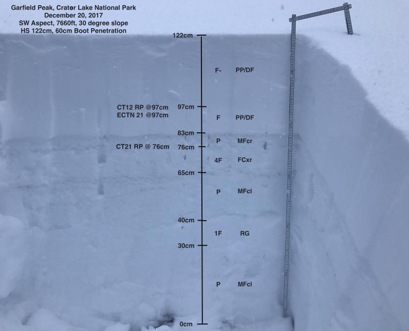
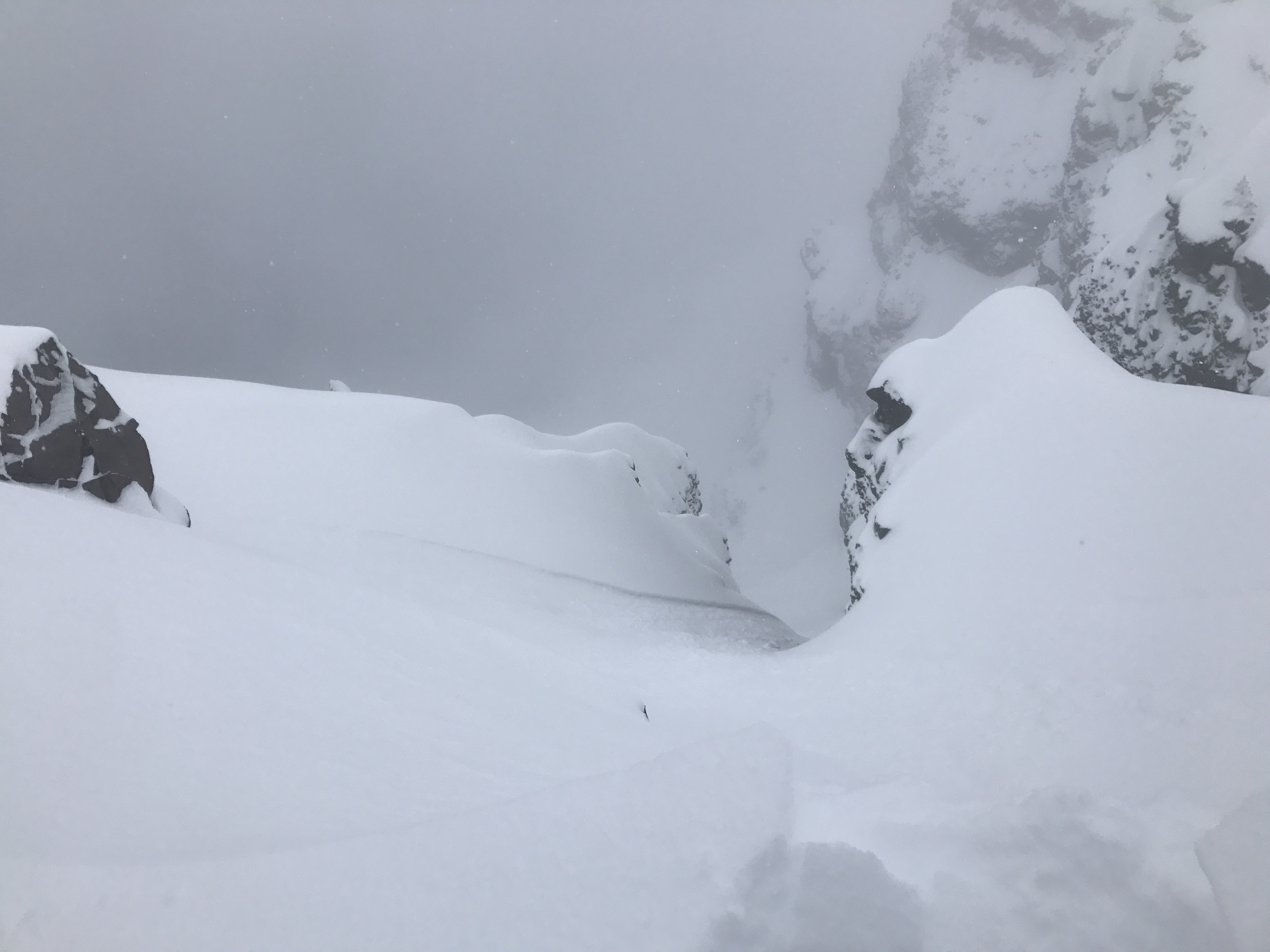
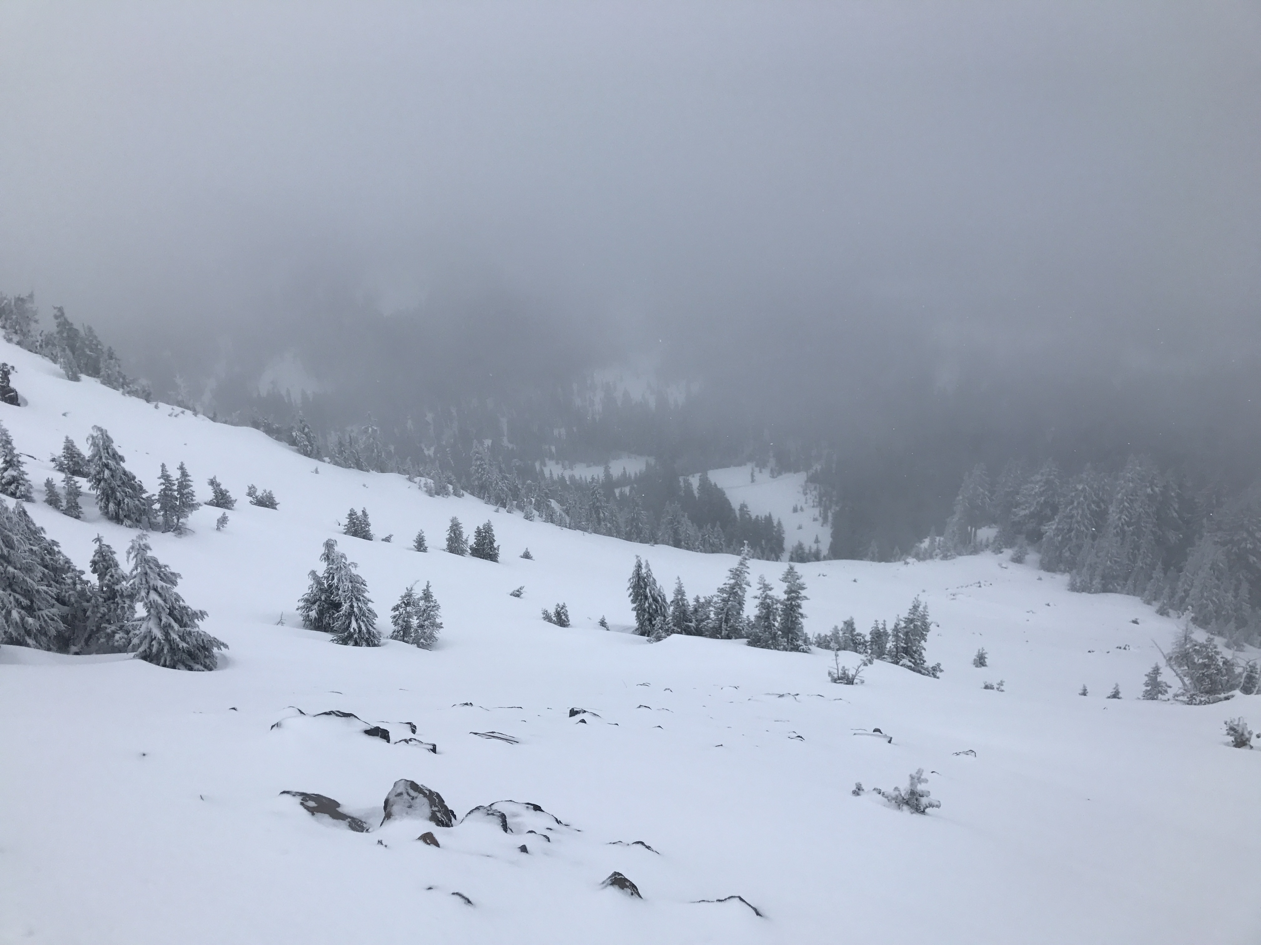
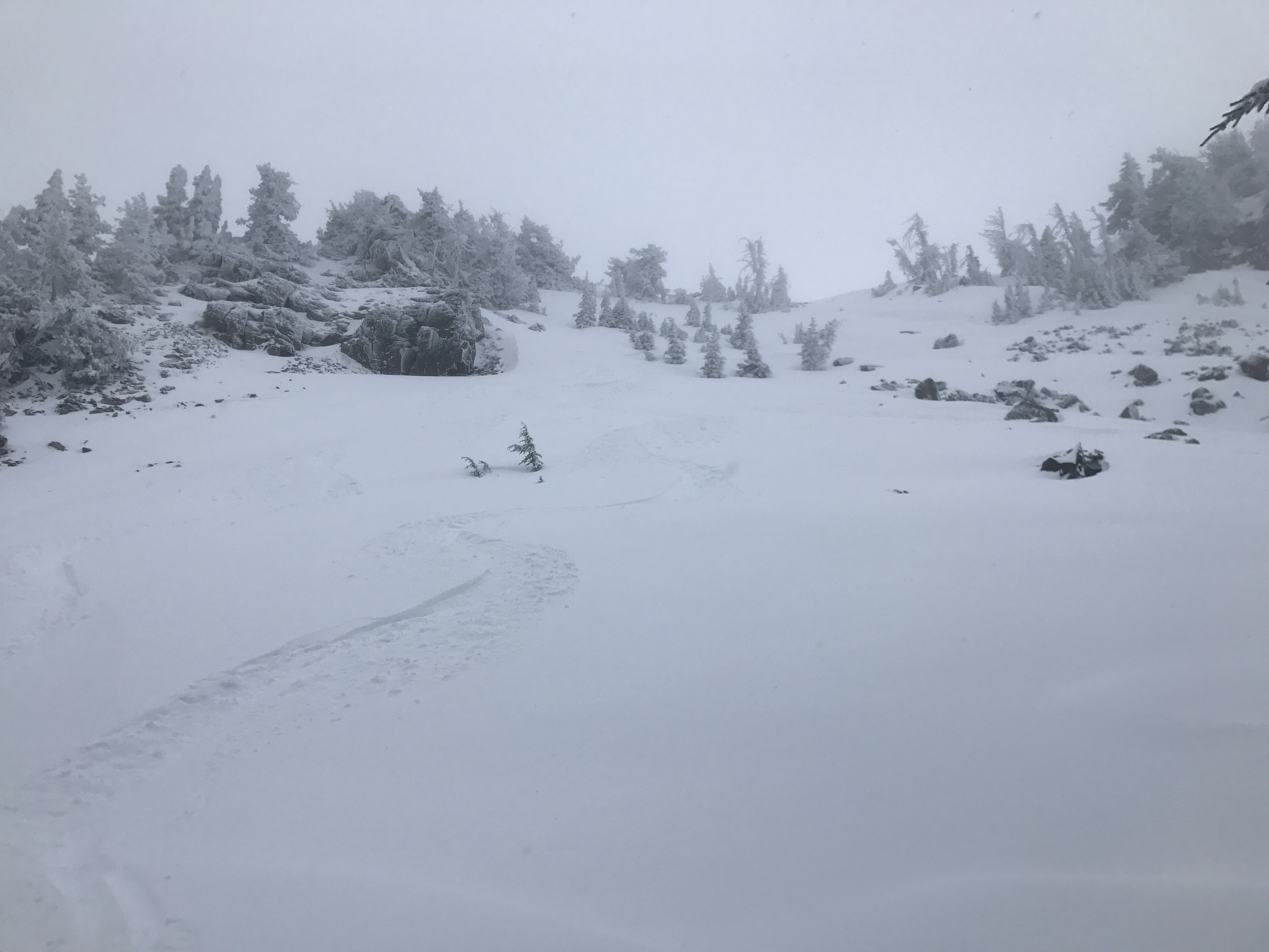
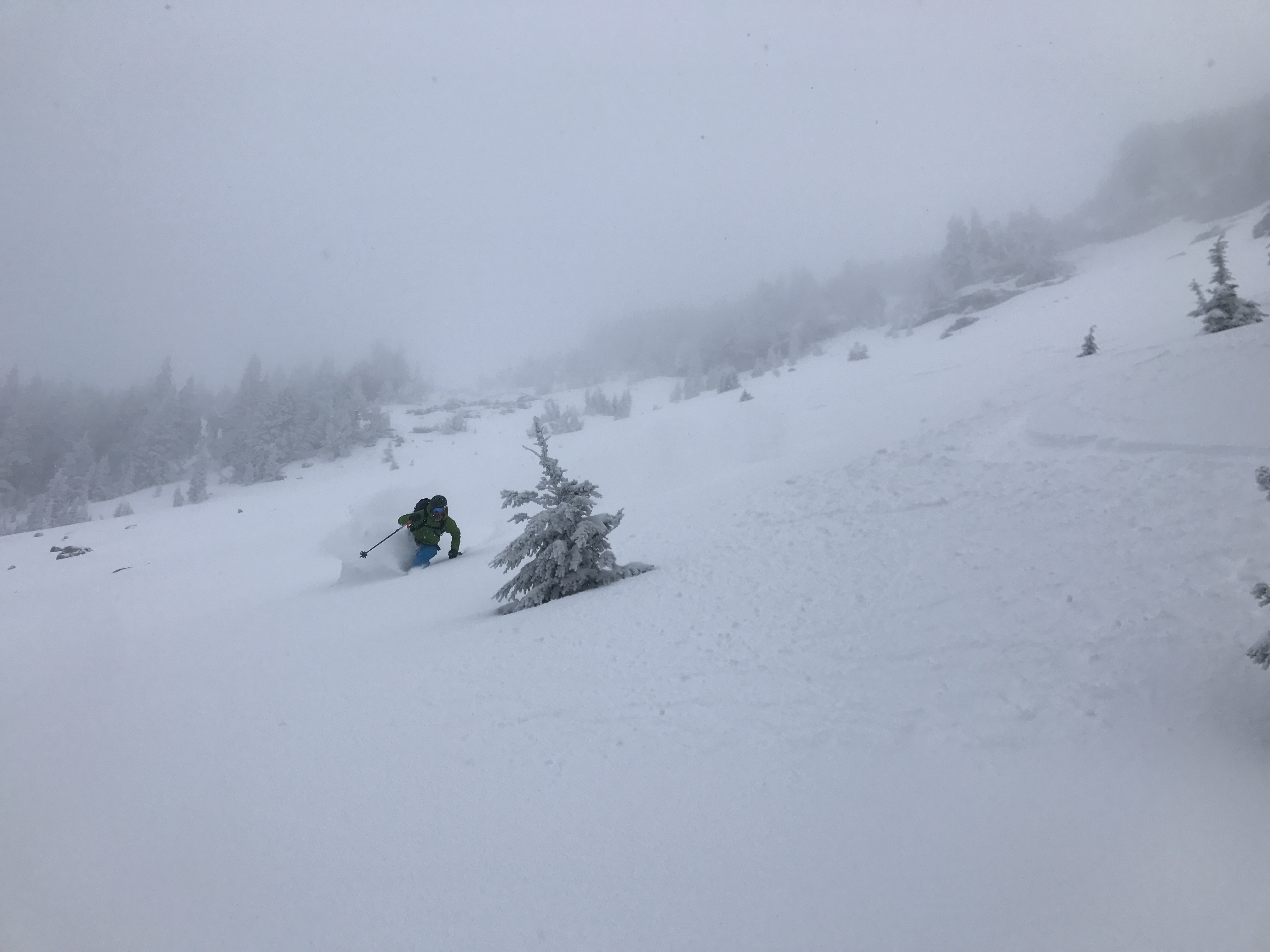
In the Garfield Peak area between 6400-8000ft, the height of the snowpack ranged from 80-130cm. The height of new snow by the end of the day measured 40-50cm. Natural dry loose sluffs were observed in steep north facing terrain dropping down to Crater Lake. Evidence of wind loading was easy to find near ridgelines. Stability tests found a density break within the new snow that produced resistant planar fractures and no propagation. Plenty of rocks and sticks were exposed and the overall snow coverage felt thin. The skiing was good on open low angle slopes with smooth ground cover.