

You are here
Deadfall Lakes/Mount Eddy

Location Name:
Mount EddyRegion:
Mt EddyDate and time of observation:
Sat, 01/26/2019 - 1:30pmObservation made by:
ForecasterLocation Map
96067
Mount Shasta
, CA
United States
41° 19' 9.2028" N, 122° 28' 46.4304" W
See map: Google Maps
California US
Snowpack Observations
Details
Photos

Weather Observations
Details
- Steady, warm breeze, 10-20 mph, southeast until mid-day, diminishing.
- Light, thin clouds
- no precipitation
- no blowing snow
Statistics
Cloud Cover:
50% of the sky covered by cloudsBlowing Snow:
NoPrecipitation:
NoneAccumulation rate:
NoneAir temperature:
Above FreezingAir temperature trend:
WarmingWind Speed:
ModerateWind Direction:
Southeast

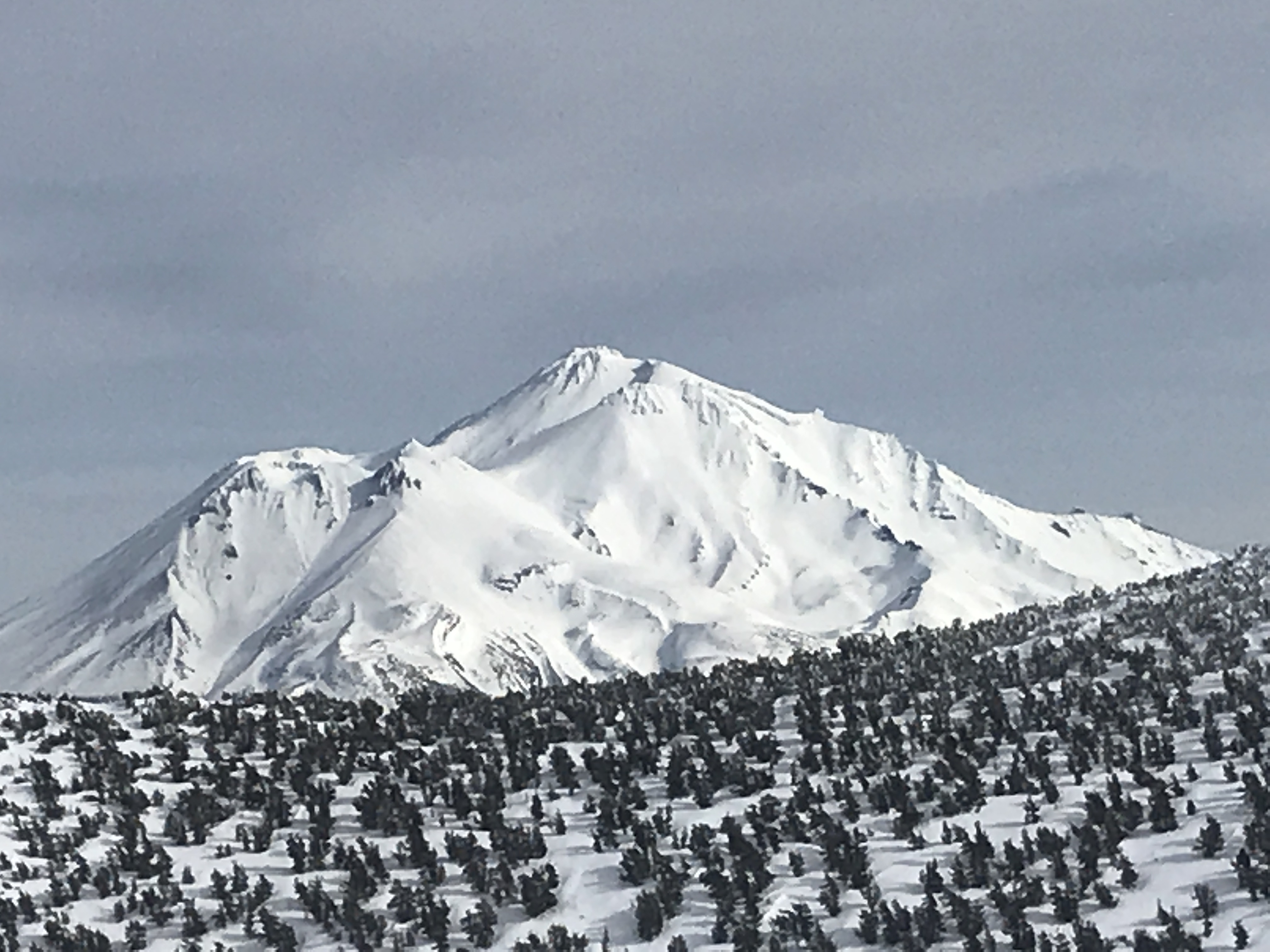
20190126 - Upper Deadfall Lakes area - 7,790 feet / Mount Eddy - 9,025 feet
Precip: No
Wind: Steady, moderate, southeast, diminishing in afternoon.
Sky: 50% obscured by light clouds
Ski Penetration: 0-5 cm
Snow Surfaces: Smooth
Snow type: Icy chicken heads along ridgelines, wind packed powder, corn snow, breakable crust.
Red Flags/Other: Minor rime ice fall / no avalanches, new or old, observed. Rain runnels fade above 7,000 feet. Good coverage over creek crossings.
Total HS: 155 cm
Crusts: 85 and 120 cm
December 13 rain crust: 120 cm
Approach: Snowmobile via Parks Creek road, parked approximately 1 mile below Caldwell Lakes Trailhead turnoff