

You are here
East side
Location Name:
Ash Creek ButteRegion:
East of Mt ShastaDate and time of observation:
Thu, 12/27/2018 - 1:30pmObservation made by:
ForecasterRed Flags:
Recent loading by new snow, wind, or rain
Location Map
96067
Mount Shasta
, CA
United States
41° 26' 55.032" N, 122° 2' 31.5744" W
See map: Google Maps
California US
Snowpack Observations
Details
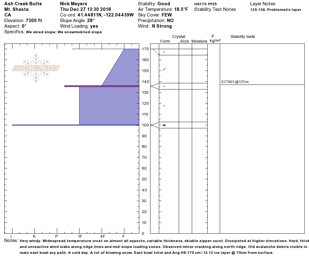
- Average HS at 7,000 feet : 170 cm
- Average HS above December 13/14 rain crust: 70 cm
- Widespread sun crust on most aspects and at most elevations.
- Thick, hard wind slabs along ridgelines, near and above treeline, difficult to trigger
- Old avalanche debris in east bowl runout zone
- Minor cracking of wind slabs along northeast ridge, out toward the weather station
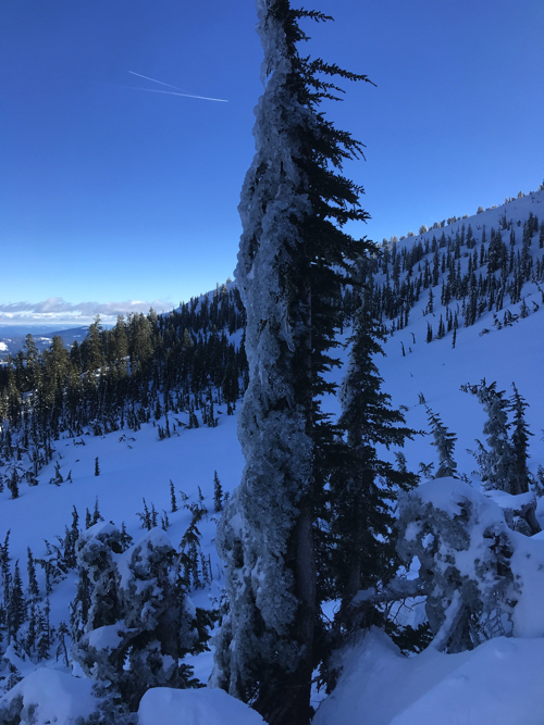
- Heavy ice armor coating north sides of trees
- Right side up snowpack above rain crust
- Stability test (ECTN23@37cm(RP) - North aspect, 7,300 feet - 28 degree slope
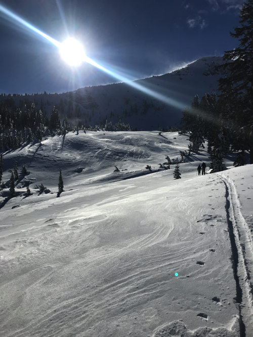
- Pilgrim Creek snowpark still closed. We parked trucks approximately .25 miles past where the pavement turns to dirt along the 19 road (Military Pass). Snow coverage on road was good from there. Logging operations have ceased at this time. Some vehicle traffic tracks are on the road but soon dissipate.
Photos
Weather Observations
Details
- Strong northerly wind
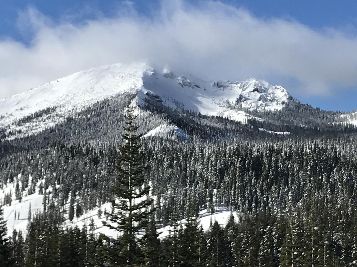
- Visible plumes of snow blowing off summit of Ash Creek Butte
- Mostly clear skies with isolated, low clouds
- Cold, 18 degrees F, mid-afternoon
Statistics
Cloud Cover:
25% of the sky covered by cloudsBlowing Snow:
YesPrecipitation:
NoneAccumulation rate:
NoneAir temperature:
Below FreezingAir temperature trend:
StaticWind Speed:
StrongWind Direction:
North
