

You are here
East Side Snowmobile Trails
Location Name:
Pilgrim Creek - Ash Creek ButteRegion:
East of Mt ShastaDate and time of observation:
Tue, 12/20/2022 - 10:00amObservation made by:
ForecasterLocation Map
96067
Mount Shasta
, CA
United States
41° 26' 55.1904" N, 122° 4' 44.9436" W
See map: Google Maps
California US
Snowpack Observations
Details
Photos
Weather Observations
Details
- Observation Location: Pilgrim Creek --> Ash Creek Butte
- Date: 2022 12 20
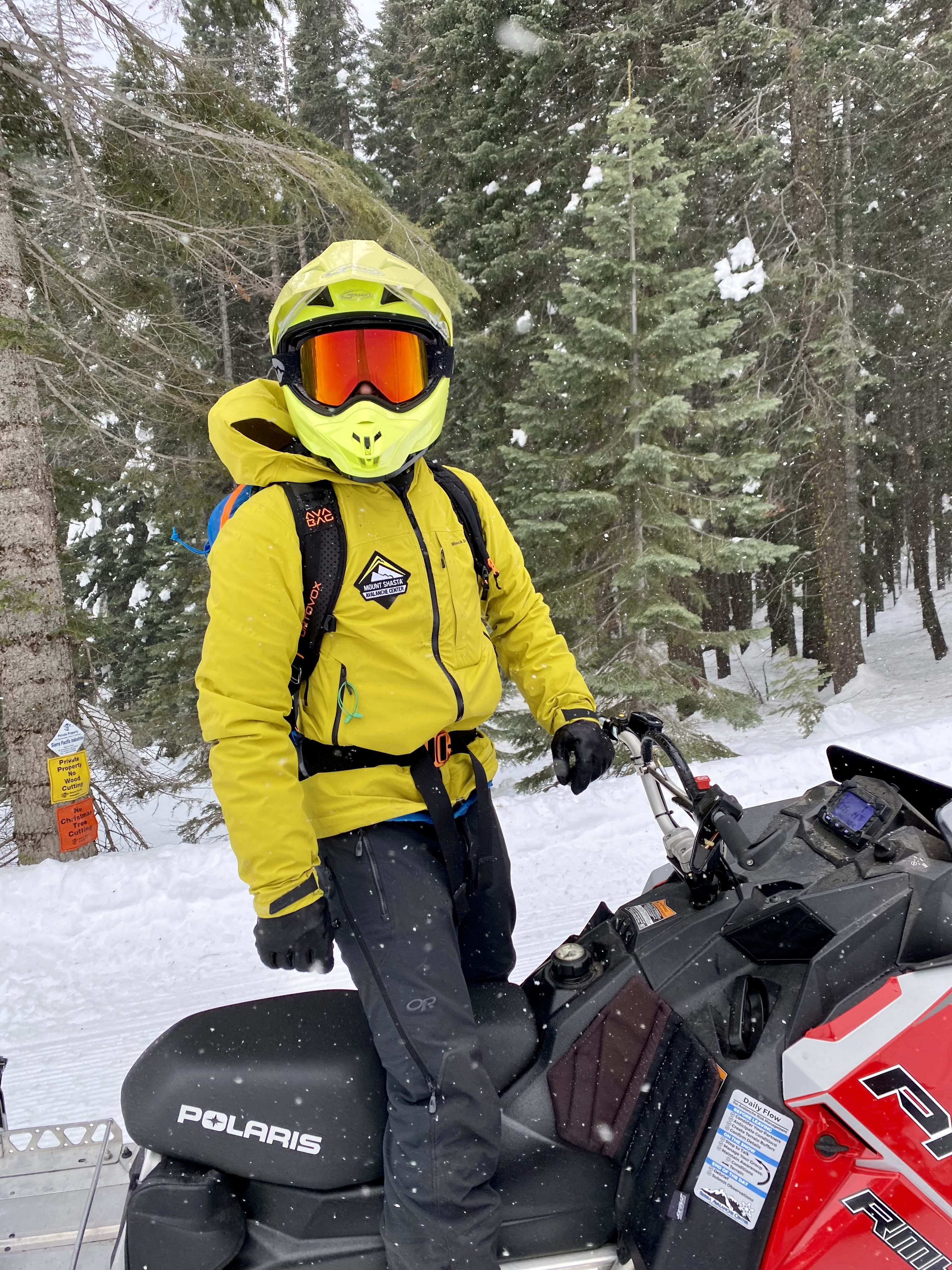
- Observer: Casey
- Sky Conditions: Overcast
- Current Precipitation: Light snow
- Total Snow Depth (HS): 1.5 meters


Today we set out to inspect the area to the east side of Mt Shasta, near Ash Creek Butte and the surrounding trails. We knew there was some precipitation predicted for the afternoon and wanted to see how the snow coverage was prior to anything coming in and covering things up.
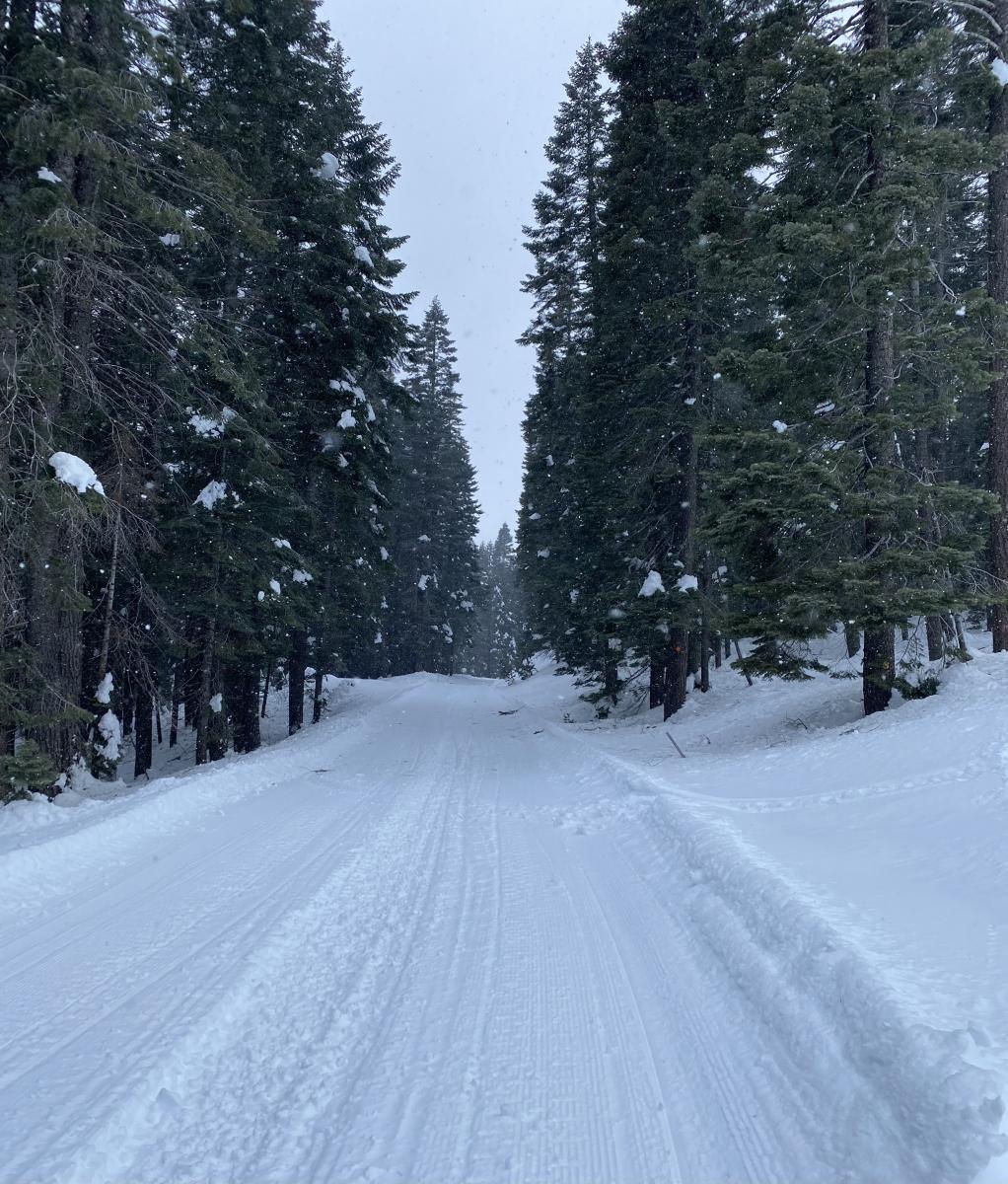
The road out to the Pilgrim Creek Snowmobile Park parking is clear and easy to drive. The parking lot has good snow coverage and the trails are snowy all the way up to the edge of the parking. The trails themselves were all in great condition.
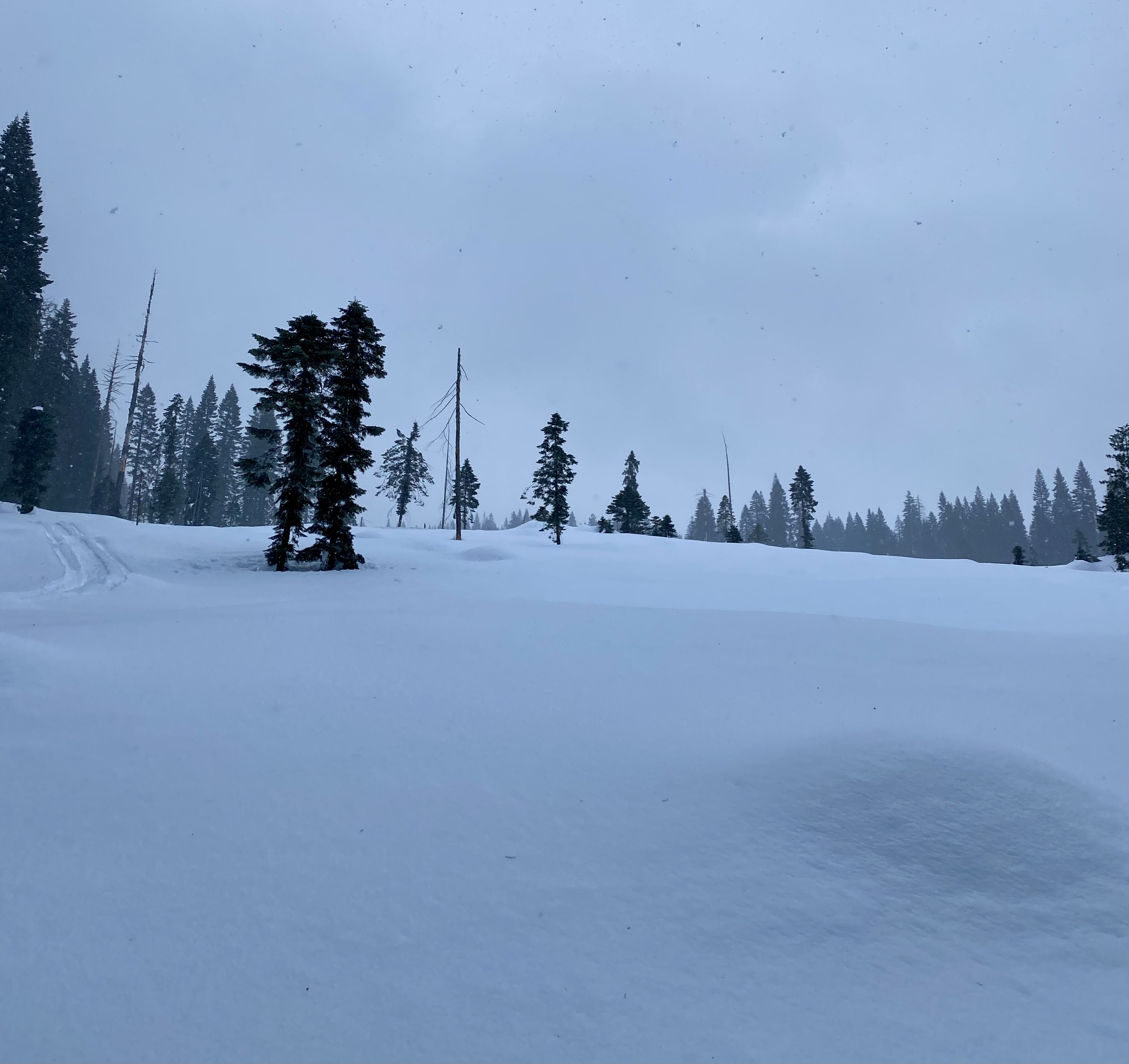
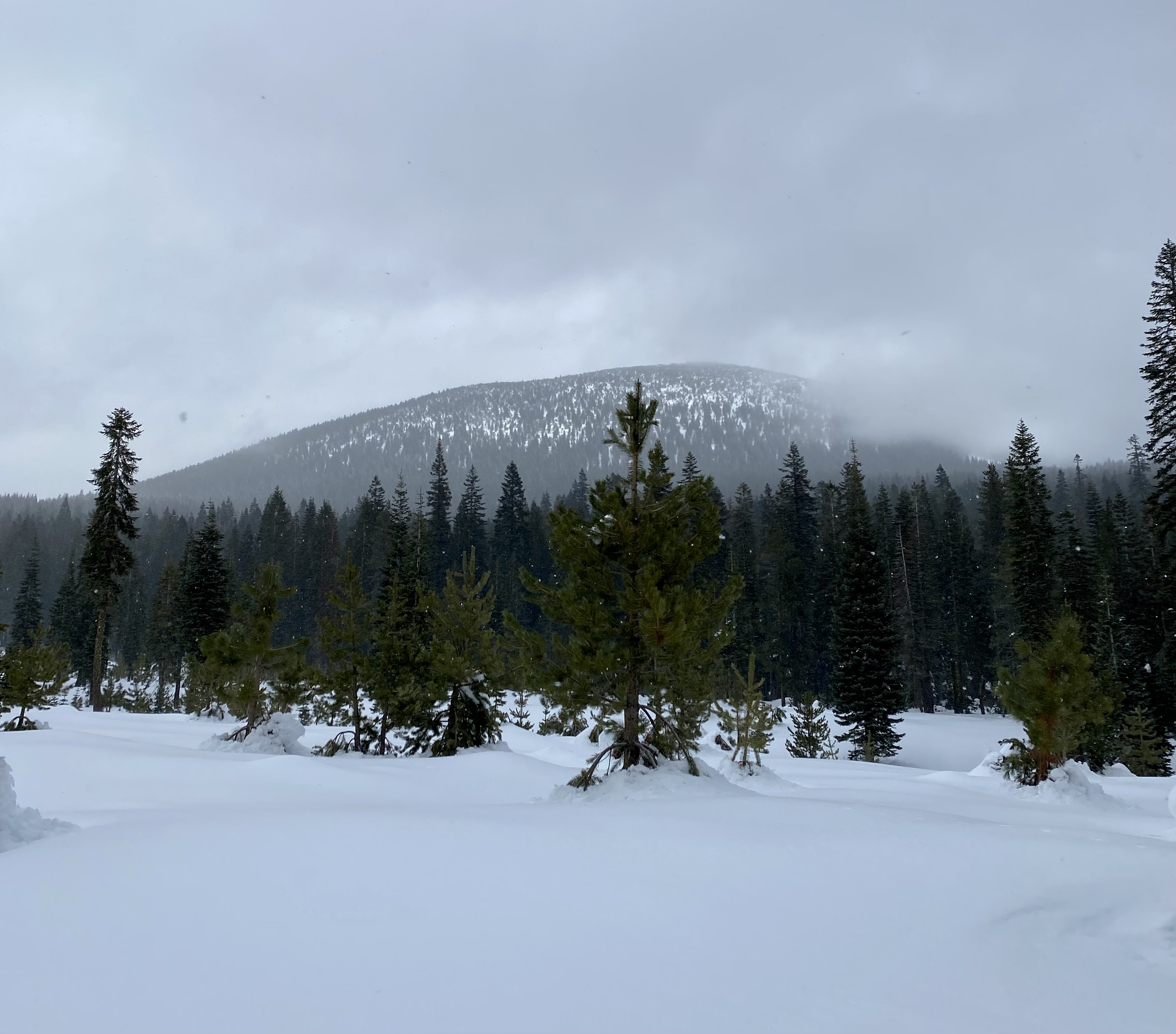
Once we got out to Ash Creek Butte itself, visibility turned from low to worse. There's good overall snow coverage in the trees, but we opted to stay lower given the lack of visibility and incoming weather.
The overall depth of the snowpack out by Ash Creek Butte was between 50 - 60 inces. Beware of underlying hazards if you are boondocking around off-trail.