

You are here
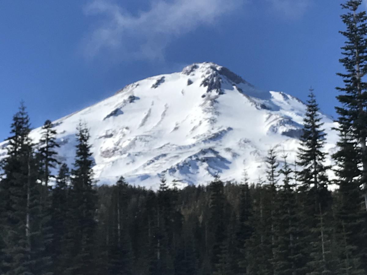
Eastside - Hotlum/Wintun treeline
Location Name:
Mount ShastaRegion:
Mt. ShastaDate and time of observation:
Mon, 12/31/2018 - 1:03pmObservation made by:
ForecasterRed Flags:
Location Map
96067
Mount Shasta
, CA
United States
41° 25' 18.9732" N, 122° 9' 18.6732" W
See map: Google Maps
California US
Snowpack Observations
Details
Photos
Weather Observations
Details
- clear, blustery
- winds out of N/NE
Statistics
Cloud Cover:
ClearBlowing Snow:
NoPrecipitation:
NoneAccumulation rate:
NoneAir temperature:
Below FreezingAir temperature trend:
StaticWind Speed:
ModerateWind Direction:
Northeast

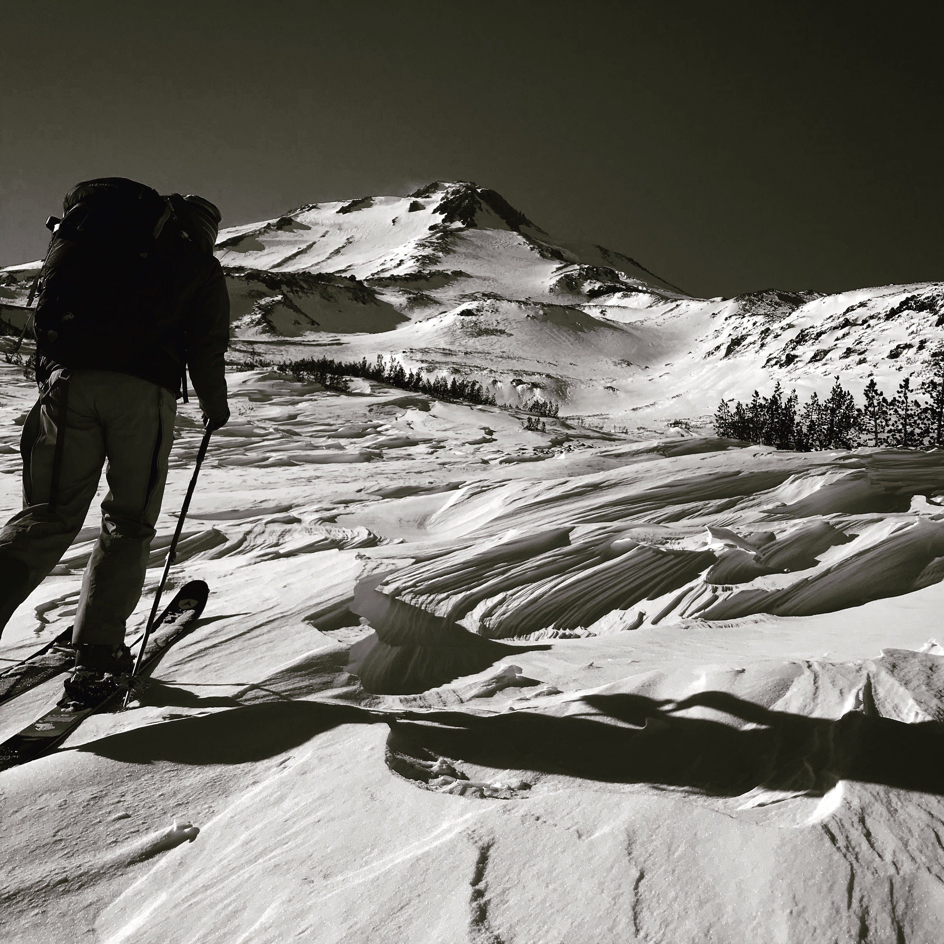
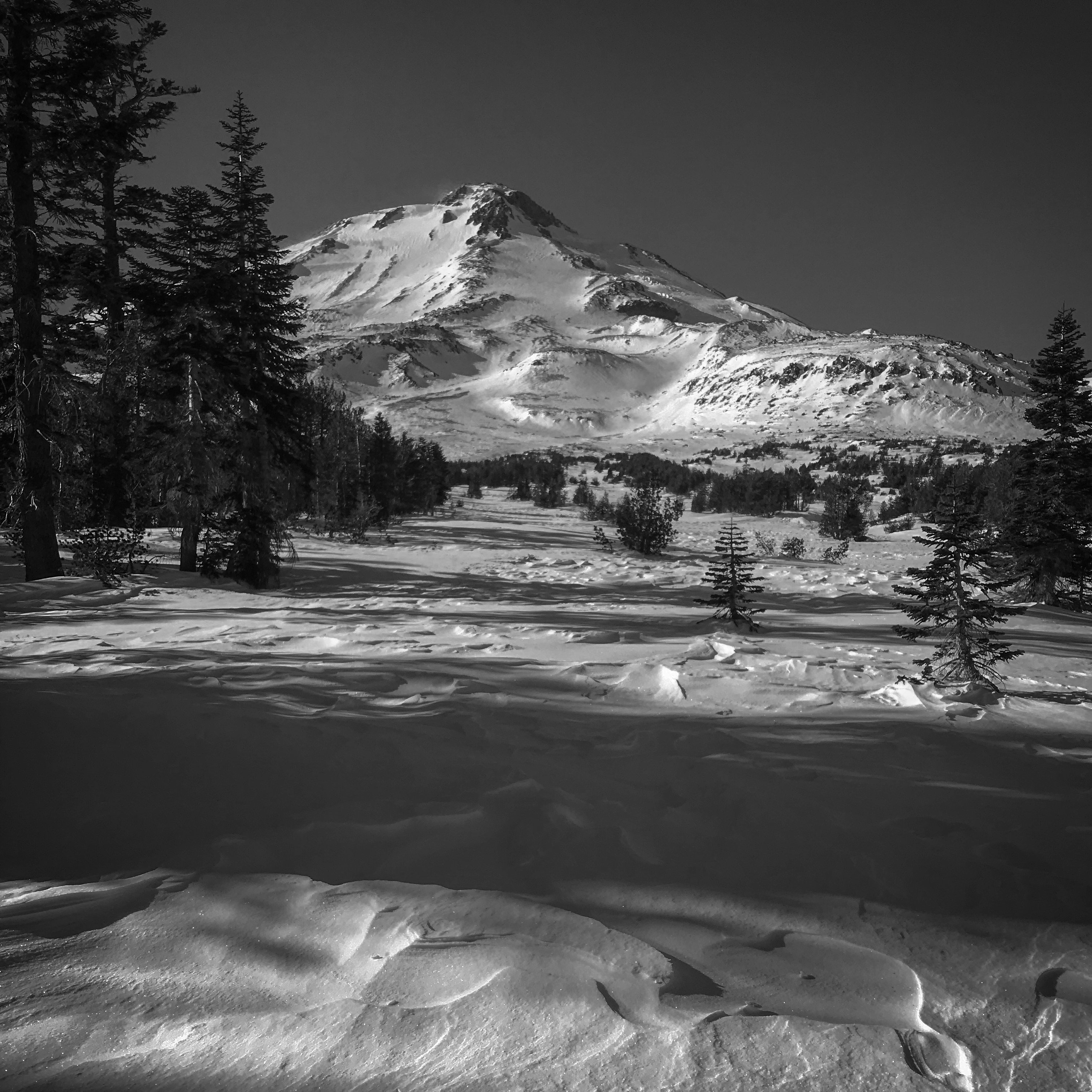
Mount Shasta has turned into a salt and pepper maze (rocks sticking up through shallow snow) of terrain that has been scoured down to rock and ice in most areas. Thus far, it's been the winter of the wind. Despite a handful of decent storms, the wind has things looking pretty sporty out there at the moment. Rock hard sastrugi, breakable crust, smooth and chalky, bullet proof ice...and if your lucky, a few very small pockets of soft snow still exist in shady, northerly aspects. Yesterday, we parked the snowmobiles at the wilderness boundary near the Brewer Creek trailhead and skinned up from there. We turned around at treeline due to biting wind and poor ski conditions. Old crown lines looked barely visible up above treeline on the Hotlum/Wintun route, but wind had stripped anything easily identifiable down to nothing. All moraine tops glistened in the sun and giant plumes of blowing snow could be seen off the summit from the northerly wind.